
North Twin Mountain (4,761 feet). Twin Mountain, NH. 2021-11-24 (Wednesday.)
Via North Twin Trail. 8.6 miles round-trip.
28 dF at the trailhead, 30 dF at the summit. Winds were negligible in the trees, breezy at the summit, especially at the outlook where it was more windward and less leeward. Unbridled sun throughout — a curve of the earth day.
Trailhead: 0940. Summit: 1240. Car: 1520.
Tale of two different twins, part the second.
When we last saw our hero… OK, so “there I was.” An uneventful drive, and now at the trailhead, staring at the sign, knowing that about two miles away is a rough water crossing, and beyond that, some stiff uphill hiking. And I also had last week’s struggles fresh in my mind. Some slight amount of trepidation for the day ahead, and foremost was “will this outing even get off the ground, or will I be stymied by the Little River?”(Which by all recent accounts, is anything but little at the moment.)
Last week was a long, tough slog to the summit of South Twin. The weather wasn’t bad — indeed it was mild, which ironically was part of the problem. It was actually too mild. Sun and above freezing temps made almost the whole trail, bottom to top, either a gigantic mud puddle, a slushy mess, or (unfortunately frequently) both. I was halfway up the Twinway when I resolved to turn around at the summit, and even skip the option to grab Galehead on the way out. The conditions were just that lousy. Which was a shame, because at least from the standpoint of the weather, it was a really nice day.
And yet… I can’t say one hike, one trail, one mountain is better or worse than another. Not the least, that’s picking which of your children is the favorite. I just don’t want to go there. Last week was hard. It was the worst part of spring hiking without the benefit of even a disappearing monorail to hike on. But we do these things… not because they are easy, but because they are hard. Today certainly wasn’t much of a mud puddle (though there were a few) nor was it a slushy mess. It wasn’t easy, but neither Twin is.
Cutting to the chase… or to the wet?
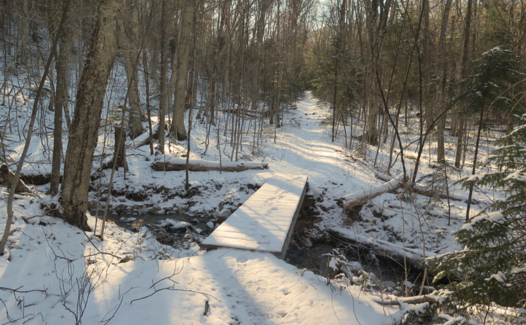
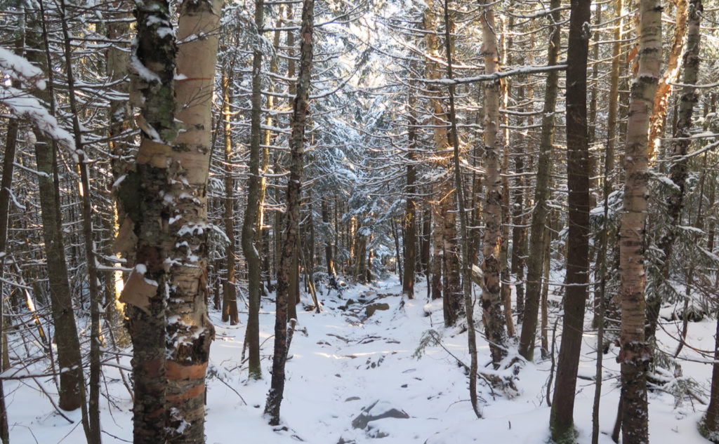
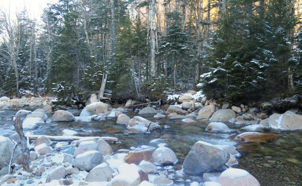
Forget the opening two miles. If you can’t walk up a nearly paved trail that’s wide enough for a truck, you probably can’t handle hailing a cab in New York outside the Guggenheim. And so… the chase. Or more properly, “the crossing.” If you’re one of the cool kids, you keep your boots dry and skip the first two, and stay on the eastern bank until the third. Let me just say the water was crystal clear, and invited a sip of what was almost certainly ice-cold and delicious mountain water. If nothing else, the river gushes with a lot of serenity.
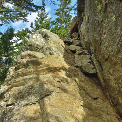
The third crossing, which is just about two miles in, is one of much lore. People remember mountains and trails for certain things. Eisenhower has that wonderful summit that has commanding views of Washington. Owl’s Head has a long hike just to get there. The north slide on Tripyramid is hairy, but with exhilarating views. If you think nothing else of North Twin, you remember that water crossing.
This was not my first time, and even still, I keep a backup plan in my back pocket in case it turns out to be impassable. I don’t know why the Twins suffer from having such a rowdy river blocking their access, or even why other mountains have easier crossed brooks, streams, or rivers. But this is the lot of the Twins. Today, I made it across. But that backup plan was there, because making it across isn’t a given. Whomever wrote “the gods willing, and the river don’t rise…” makes me think they knew about this crossing. Sometimes, yes, Virginia, the river does indeed rise.
I got past the crossing, mainly because with Gore Tex boots, you can do things that you can’t without. I’d met a hiker who was on the way down, simply because he couldn’t ford the river safe and dry. Part was because of a lack of waterproof boots, the other part lack of trekking poles. Folks, read your George Orwell: four legs: double-plus good!
Here on the other side… now what?
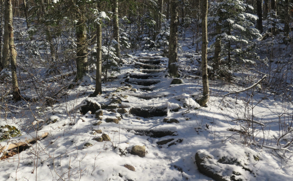
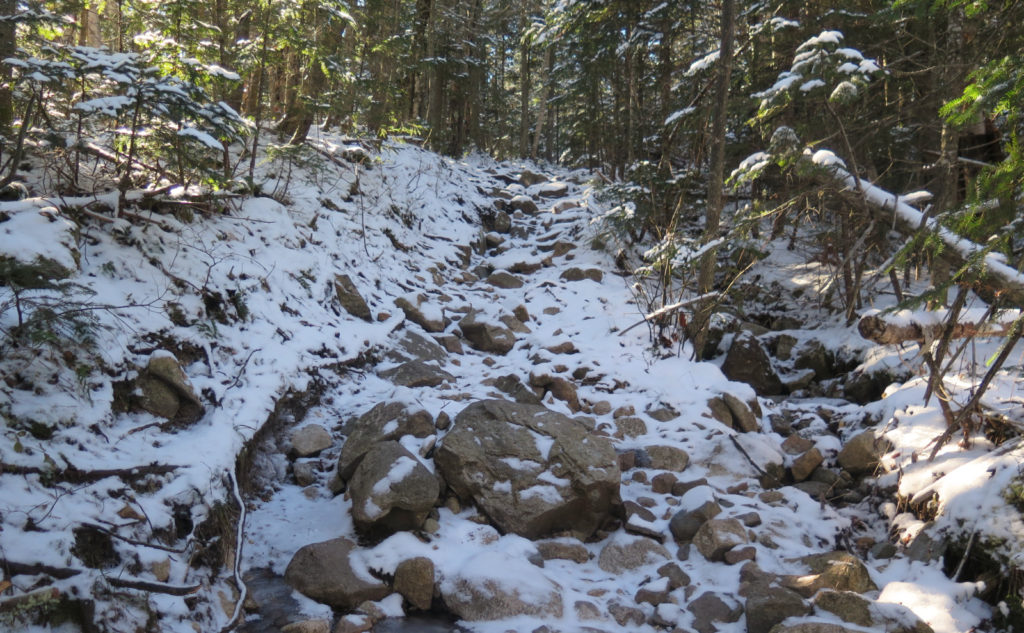
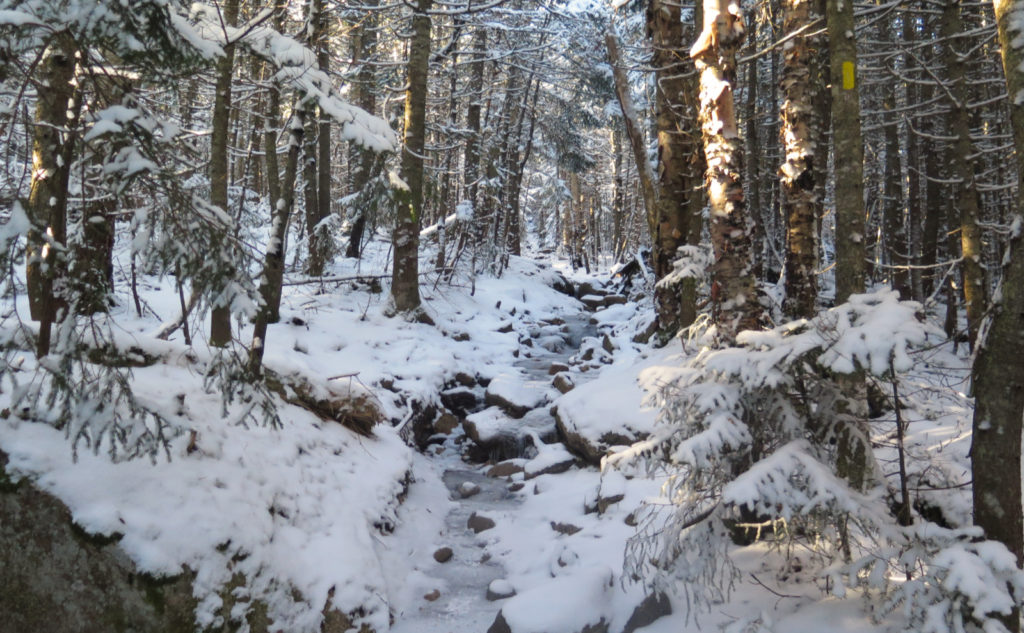
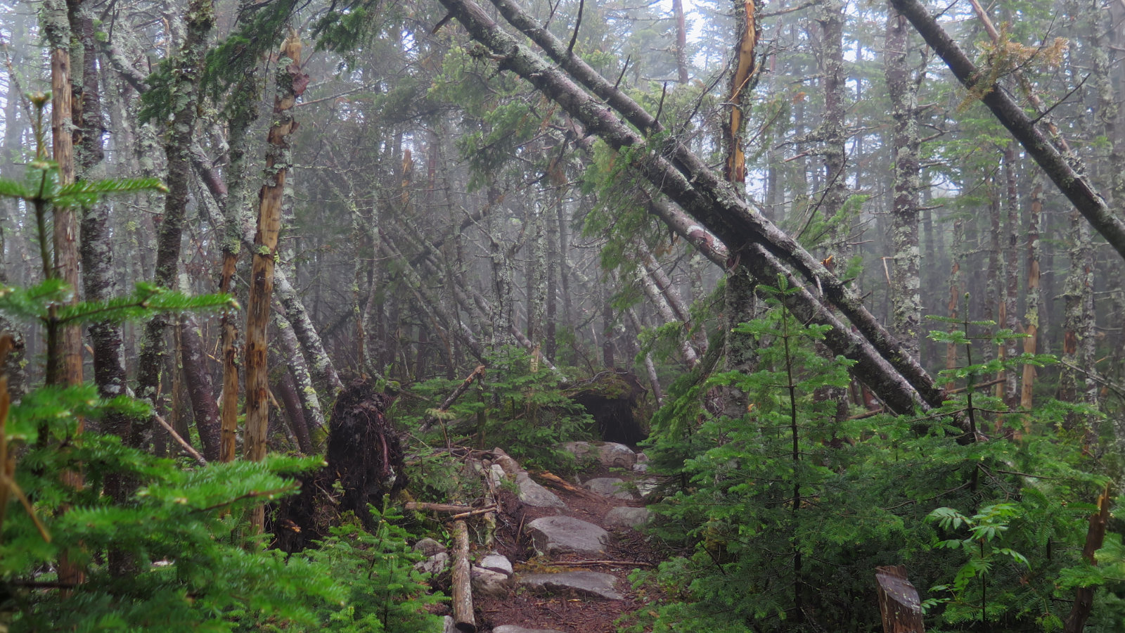
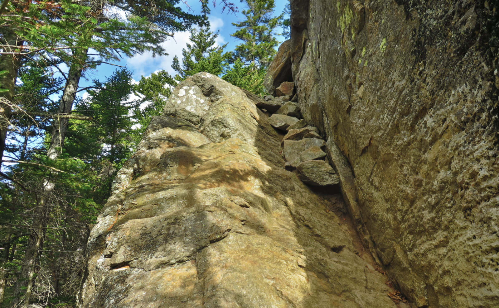
Beyond that, things were bog-standard. Just after the crossing, the trail pitches upward modestly for a certain amount. After that, things get more robust. It was icy in more places than I could count, but I wore spikes, so my traction was assured. The weather was decent, but that only means my penchant for under-dressing (tolerating a cooler skin temperature as long as my core remains toasty… in order to prevent sweating too much) kept me just on this side of comfortable. The temperature warmed up a little, which is to say that after adjusting for altitude, it was just barely below freezing.
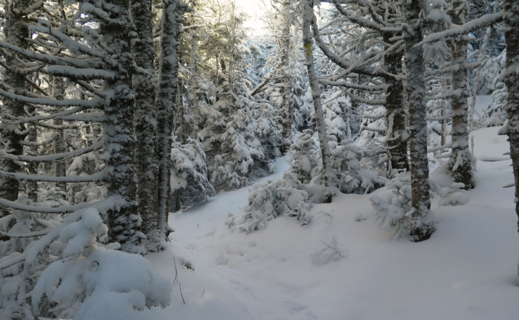
And… yeah, it was a tad frosty, but at the same time, I was saved from what happened on South Twin last week. To wit: the trail remained frozen, and last week’s slushy mess remained a memory instead of a present reality. I passed through a winter wonderland that felt a bit early, but still, the wonder… the enchantment. Trees draped with snow, the landscape softened. Snow underfoot was unconsolidated powder, and so a tiny bit greasy. I didn’t care. The visuals carried the day. Wow!
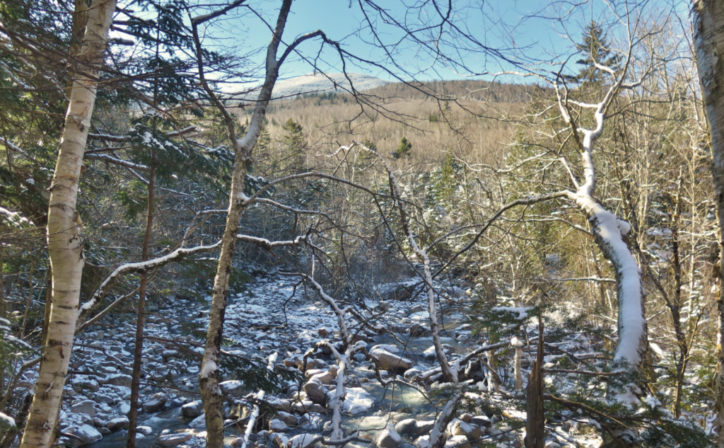
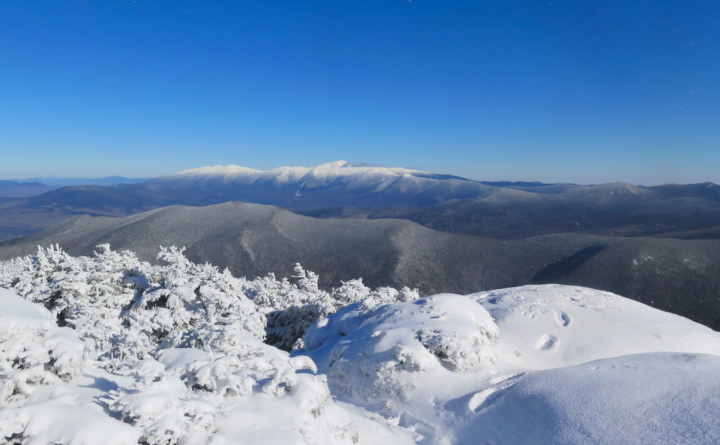
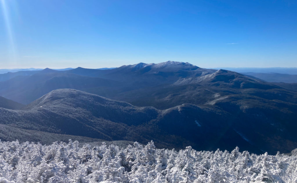
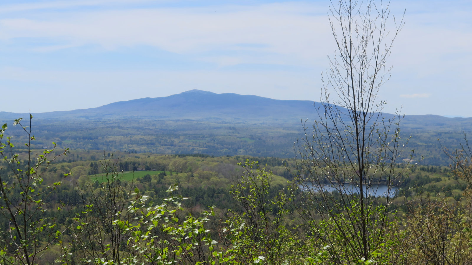
As the trees got shorter with altitude, the wind started to creep in. I donned a hat and my mittens, rolled down my sleeves, and pressed on. (Have I ever mentioned I sweat like a pig when I hike?!) The steepness of the trail broke, and before long, the view expanded, albeit briefly. I had commanding views of the Presidential Range, just to the northeast. The range was in the clear… no clouds that made much of a difference. A twinge of regret… should I have run up Washington on such a fine day?
Finally, the summit? Or not?
That last bit. You’ve had a fine look over to Washington. The sun is high… the air is, well, not so cold. The snow is powdery, but not nearly as slippery as last year. Then you look over, and see where you’re headed. It’s not far, but it’s not “here.” There’s some distance yet to cover. North Twin gives you one last chuck on the shoulder. Oof.
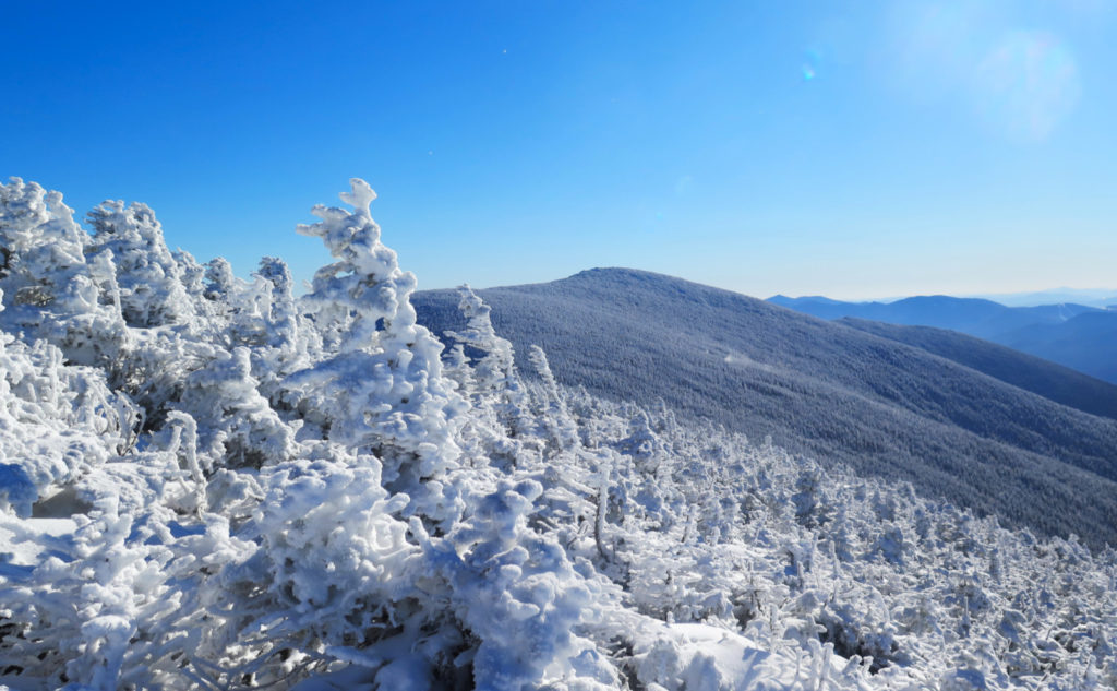
That last bit isn’t so far. I think it took me all of about ten minutes to get to the summit. It was pretty fulfilling, seeing the sign, heading over to the outlook, seeing where I was just last week, huffing and puffing through slush and mud. But was it the “real” summit? Likely, it’s on the barely noticeable hump heading over to the overlook. I’m sure the upcoming AMC guide will have revealed its true location. In any case, I doubt it matters. That view to the west was too enticing.
Just a quick dive into that last thought.
There are a lot of summits where you’ve got little to no clue where the actual “highest point” really is. Whiteface comes to mind, as does Owl’s Head, Cabot, and Hale. (Owl’s Head is particularly notable, because for years, people didn’t really know.) But then also consider where the high point is on Adams, and how on a summer’s afternoon, you’d be lucky to even see it for all the people milling about. Or that we count both Hancocks as being on the list, even though South clearly doesn’t have prominence?
So as an exercise for the reader, what is the value of actually hitting the precise topmost molecule of a mountain? Is it enough just to be in a place where, with no real expenditure, and a moment’s worth of effort, you could tap that topmost molecule? Is summiting Wildcat in winter, with three feet of snow on top, more of an achievement than in summer? Or is it less, because snowshoeing up a groomed ski trail means you didn’t suffer enough? I don’t think there’s a right answer, other than to say “hike your own hike.” Your mileage may, of course, vary.
Meanwhile, back on the descent…
I remember thinking about my pace, heading up the mountain, and wondering what it would be like on the way back down. Especially now, when it’s cold and we’re so close to the solstice, I’m thinking about the setting sun — even before it’s hit its zenith. Now that I was on the way down, I didn’t make the kind of time I’d have made in different conditions. The trail was just rocky enough that I had to take more considered steps. It mattered less, though, because at least they were downhill steps. The nice thing about this trail is the paucity of PUDs — Pointless Ups and Downs.
The pitch relaxed somewhat, and now I began to hear a familiar rush. The most uphill part of the trail diverged quickly from all the drainages and streams down below. Returning to that point, I began thinking ahead. What would the crossing look like now? All too fresh in my mind was that day when a sudden storm engorged the river; when I found much more water on the way out than I saw on the way in. Fortunately, things hadn’t changed much, and I crossed without much fuss, and maybe even a little easier and more quickly. I know from my footprints that I crossed in almost exactly the same spot.
I got back to the car with plenty of daylight to spare — almost an hour before astronomical sunset, and I think I was at least south of Plymouth before things started to get meaningfully dark. Unusual for me, I know. But for all my worries about crossing the river, at least getting off-trail before dark wasn’t one of them. Hey, at least that’s something. My more memorable visits to the summit may still be from my Pemi Loops, but today was certainly one for the books.
As always, stay safe out there.
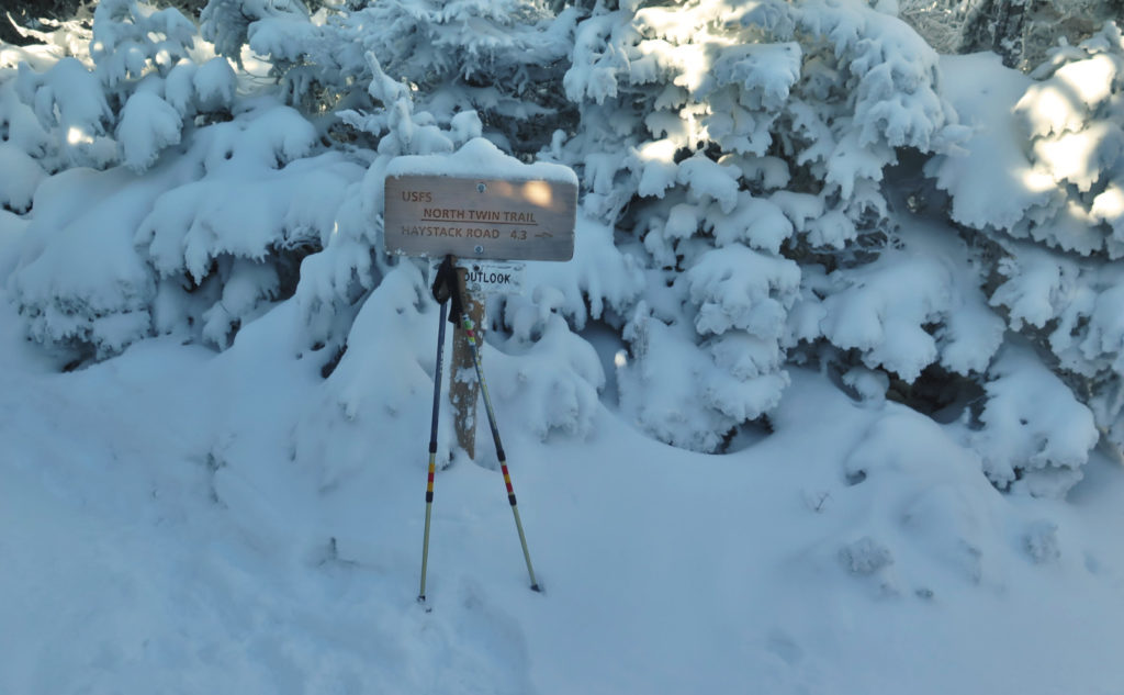
Nuts and Bolts: The North Twin Trailhead is at the end of Fire Road #304, AKA Haystack Road. It’s not terribly hard to find. Take exit 35 off 93, as per usual for the northern side of the Pemmigewasset. Pass over the Gale River, and a few miles later, watch out for the hiker sign. If you hit the village of Twin Mountain, you’ve gone too far. As of this writing, the gate is open: do not expect this to last much longer. Assuming you’re that lucky, there is ample parking at the trailhead for at least half a dozen cars.
Trailhead will be next to the kiosk. Blazes are yellow. The cool kids skip the first two water crossings, especially in the colder months; understand that this means going off the map, and route finding isn’t assured — it’s certainly not blazed.
The river crossing is hairy on a good day, outright deadly on a bad day, merely dangerous to life and limb most other days. The best times to cross are in the dead of winter, after it’s been “good and cold” for at least a couple weeks; you can race across on snowshoes and snow bridges with almost reckless abandon.
The rest of the year? Hit the trail with a plan for what you’ll do if the river is impassable. Many times, it is. Don’t become a headline in the newspaper. If push comes to shove, consider banging out the Twins via Galehead. The climb from the hut is stout to say the least. It’s rocky and strenuous, and in a few parts it will make you will question your life’s decisions, but there are no significant water crossings where you can potentially take your life into your hands.
Is that hyperbole? Maybe. Then again, if you screw up, you’re about two miles from the trailhead, and about 2 more from the road, in a location where cell service is far from assured. “When seconds count, help is minutes away.” Don’t make yourself the lede on the evening news. Not the least, but it impairs your ability to enjoy the mountains tomorrow. You can always drive around to Galehead, or even just bag the Peak Above the Nubble. Head over to the Sugarloaves… your options are functionally limitless to have a good day out in these woods.
If you enjoy reading these posts, please subscribe — stay in the loop! Your email will only be used to alert you of new posts — typically 1-2 times per week. I will not use or share your email for any other purpose without your express permission. And feel free to share via social media using the buttons below.
Find me in the mountains, on this blog, or on Twitter: @Protean_Hiker https://twitter.com/Protean_Hiker/
2 thoughts on “Trip Report: Is it good that the Twins aren’t identical?”
Wonderful pictures. Thanks for posting
Thanks! I’m glad you enjoyed them.