Galehead Mountain (4029 feet by LIDAR). Franconia, NH. 2024-11-07 (Thursday.)
Via Gale River, Garfield Ridge, and Frost Trails. 10.4 miles round-trip, 2,650 feet elevation gain.
Waste not, want not.
50 dF at the trailhead, 40 dF at the summit. Winds were negligible. Sun, with enough clouds to make the sky look interesting from the various outlooks.
Trailhead: 1200. Galehead Hut: 1400. Summit: 1415. Car: 1700.
This one for me is a bit of an odd duck. In some sublime way, I seem to have a lot of good experiences on this mountain. First time I did this, I had a blast.This despite hiking it in April, and so having a stretched outing due to the gates on the fire road being closed. But it was warm weather, and on the summit, despite standing on a couple feet of snow, I was in shorts and a tee, perfectly comfortable.
More recently, I’ve folded it into Pemi Loops, and it was on one in the month of July where I spied a great spangled fritillary, lounging on a conifer branch near the hut. I was on my way up the summit, and just happened to look down, and there it was. Four years ago, and yet I remember that butterfly as if I saw it an hour ago.
This time, I was out for a quick-ish hike. I had a few hours to spare… why not? And hey, it chipped another notch into November for my grid. One more closer to completion. (My November list is in the 30s at this point, which is exciting in itself.)
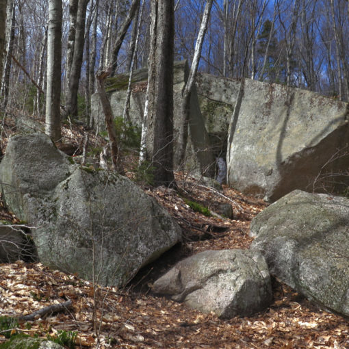
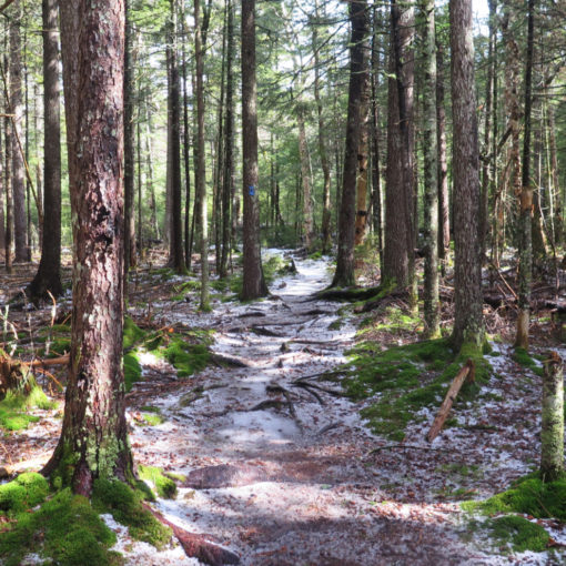
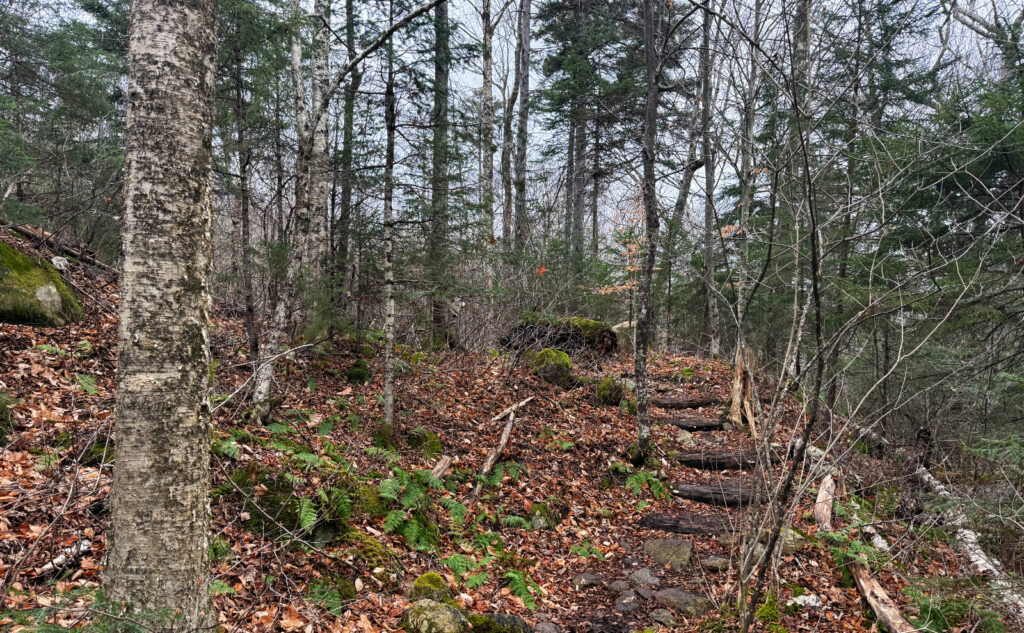
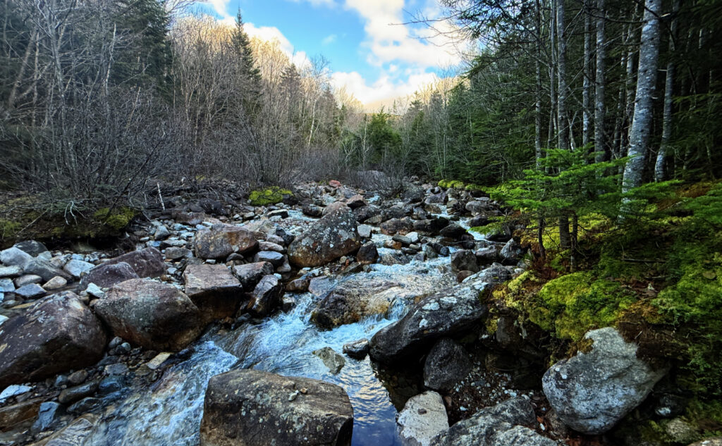
The opening couple miles are a lovely walk unto themselves, passing as they do through an open forest, and it seems that you’re not often walking without the chatter of a nearby bubbling brook to keep you company. Where it’s well and truly autumn, and most of the leaves have fallen, the short amount of daylight is magnified as it casts its warmth down to the forest floor nearly entirely unmolested by the trees above. Each step crunches through those fallen leaves, now underfoot, and yet the trail beneath never seemed to have the hidden rocks and roots that have bedeviled my passage on several other recent hikes.
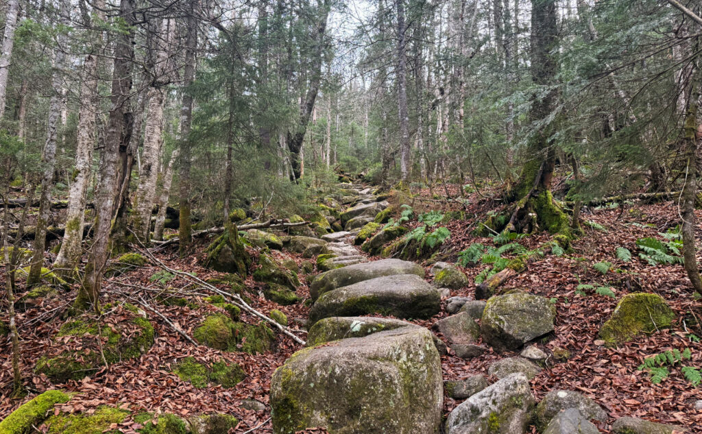
When I got to that long stone stair known as Jacob’s Ladder (no kidding, named after a trail builder named Jacobs) I did perhaps the stiffest ascent of the hike. These grades do indeed go up, but this one feels about as hard as Hale or going up the Mt Kinsman trail. It’s a pretty easygoing route up to a glorious vista.
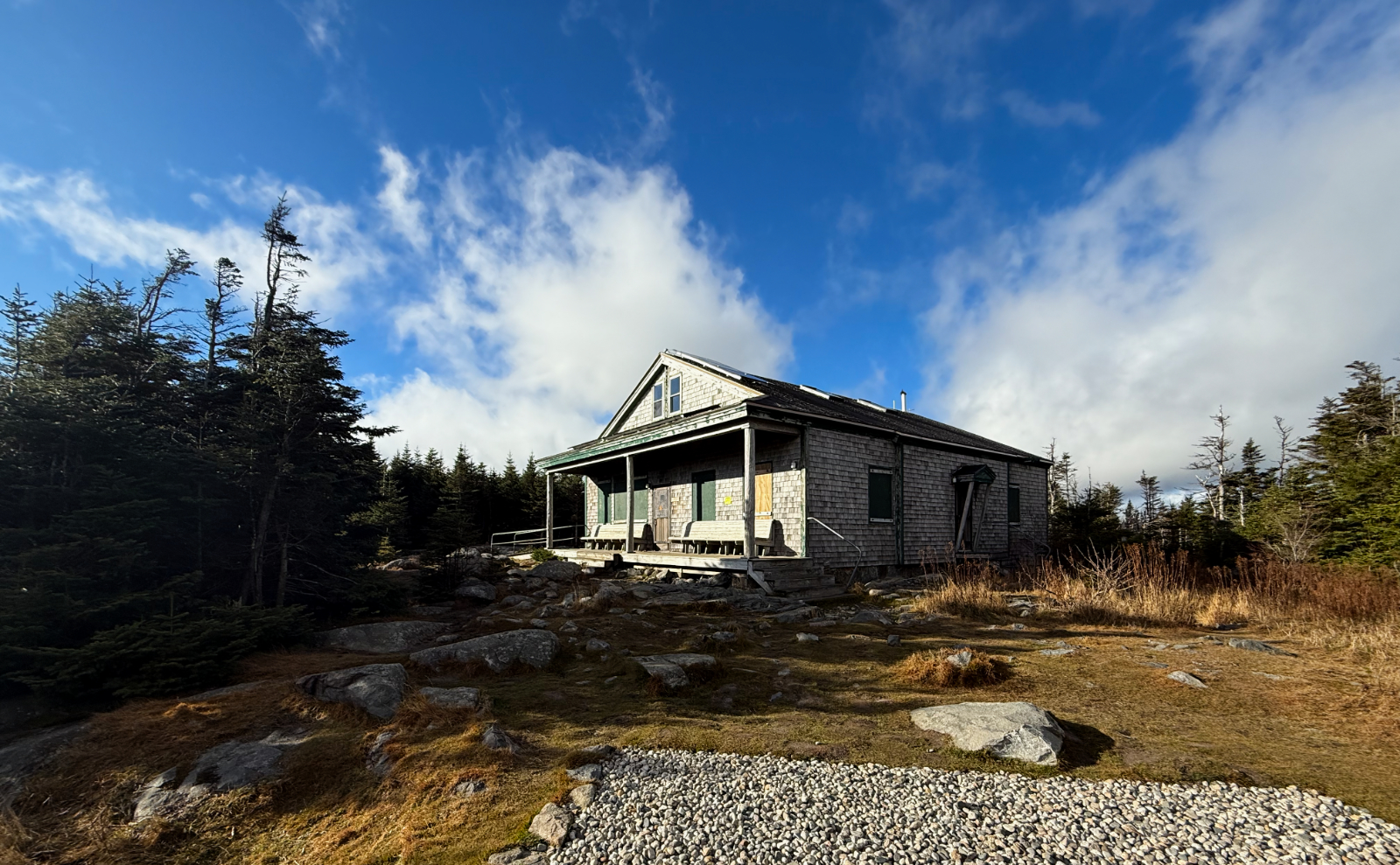
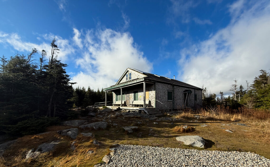
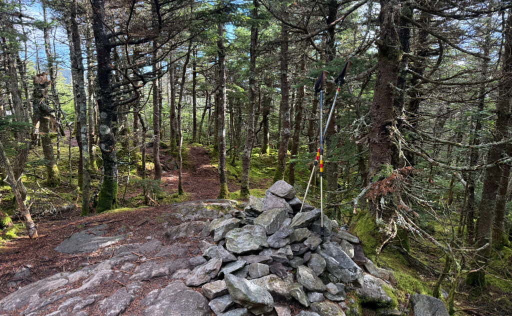
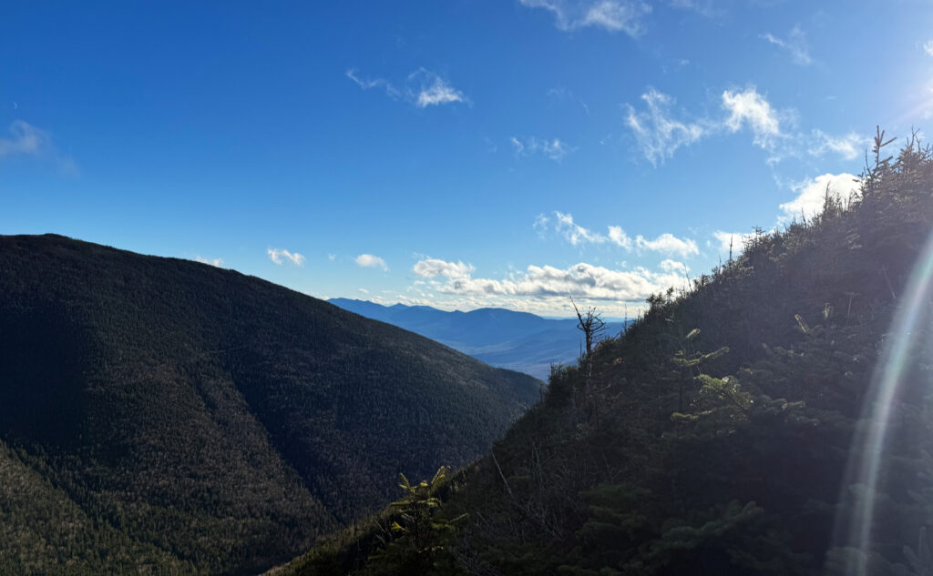
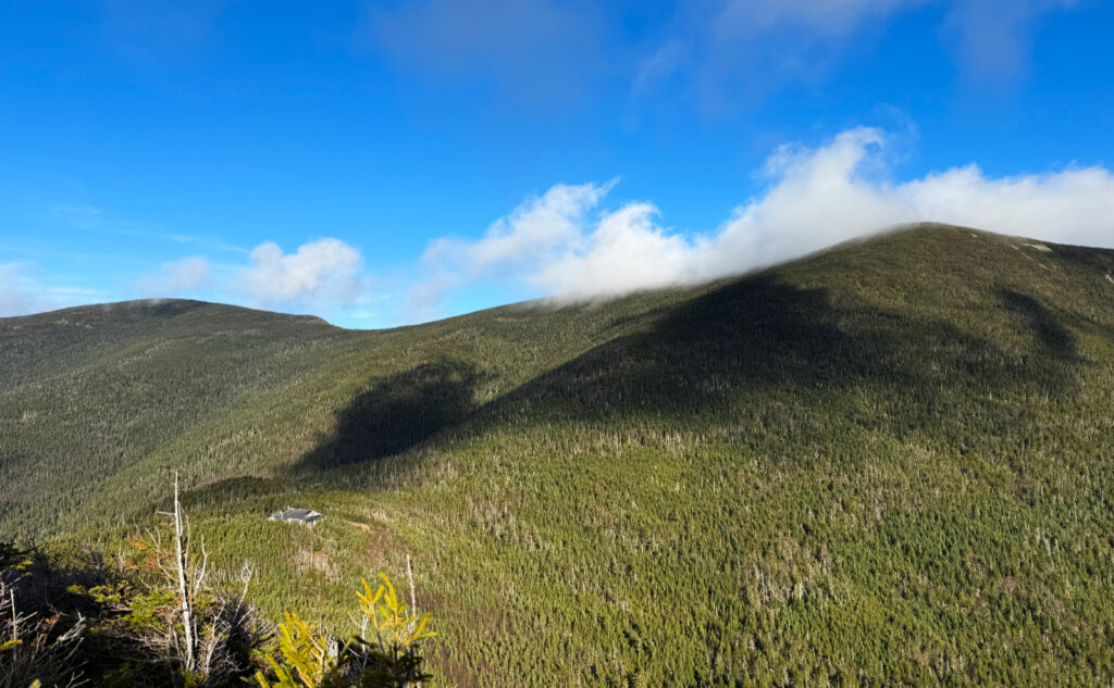
Up at the hut, the view didn’t disappoint. I will always wish it was a bit more expansive, because were it not for South Twin, it would be truly epic. You can’t always get what you want, as the song goes. It can be enough that the sun was high and the clouds infrequent. The summit was viewless, but the outlook delivered its goods. And then, it was a quick trip back to the car — fortunately, I made it out with the last dregs of light.
People sometimes ask which is my favorite mountain, in disregard of the fact that this is like asking a parent which is their favorite child. As much as I don’t like to pick favorites, if I had to trim the 4,000 footer list, this is one I wouldn’t cull.
As always, stay safe out there.
Nuts and Bolts: Head up 93, and get off at Exit 34. Drive around route 3 as if you’re headed to Twin Mountain. When you see a trailhead sign on the right, followed by a bridge crossing the Gale River, slow down. Your next left will be Trudeau Road, and there will be a sign for the Town of Bethlehem’s various services. Turn right, head down the fire road. Note that about a quarter mile down, there’s a split that heads downhill to the right. Stay left. About a mile and a half down, you’ll see another split, going hard right. Follow it, and shortly thereafter, you’ll cross a bridge over the Gale River. Just past that is the trailhead.
Trailhead will be behind the kiosk, but there’s another entrance from the parking area. There’s a sign, it’s pretty obvious where to go. Blazes are blue until you hit the junction with the Garfield Ridge Trail, which is the Appalachian Trail. At that point, until the hut, blazes are white as they normally are on the AT. Frost trail, logically, should be blue, but there isn’t much need for blazes on that trail. Just make sure you don’t go down 13 Falls trail (very obvious sign at the time of this writing) and you’re sure to hit the summit in short order.
If you enjoy reading these posts, please subscribe — stay in the loop! Your email will only be used to alert you of new posts — typically 1-2 times per week. I will not use or share your email for any other purpose without your express permission. And feel free to share via social media using the buttons below.
Find me in the mountains, on this blog, or on YouTube.
Help support this blog! Visit www.photos.proteanwanderer.com to buy some of my signature images.
