Tetra? No, Solo!
North Brother Mountain, Millinocket, Maine. 2018-09-27. 4,150 feet. Via Marston Trail.
Trailhead: 1030. Mt Coe trail junction: 1245. Summit: 1340. Car: 1700.
Sunny, light breeze (approx 5 MPH), with occasional clouds. Essentially limitless visibility.
It was an audacious plan, and it would have worked, too… if it wasn’t for those meddling kids! OK, so if I’d gotten out of bed an hour earlier, maybe. I’d hoped to do the loop around Mt Coe as well as North and South Brother, and (ideally) raced out and back to get Mt Fort. Doable, for sure, but I really needed a couple more hours of daylight, at least.
Chatting with the rangers, the rains from the day before would make Mt Coe thought provoking on its slabs. As I found out, it was a good decision to trim back my plans. True, there was some disappointment — I’d only be bagging one of four potential peaks. But then again, I was in Baxter. Hiking up a marvelous peak that can stand perfectly well on its own merits. Why do I need more? Forget the list. Keep the eye on the true prize. And as I was to find out, it was a hell of a prize.
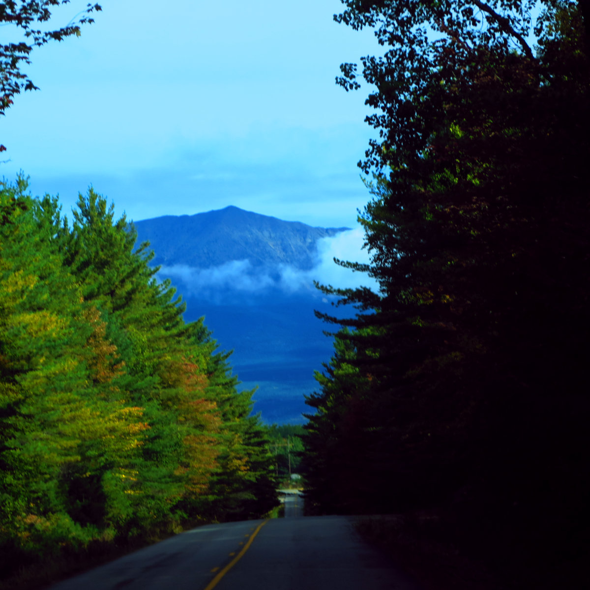
Driving into the park, my first reaction was amazement. Heading up 95 to Millinocket, I was struck by the vast amount of absolutely nothing. Townships there are so devoid of humans that they don’t bother naming them, simply giving them an alphanumeric designator and leaving it at that. For miles and miles, just trees and a long span between any two highway exits. This is not the place to break down in winter. So by Baxter, I was mentally primed. I was going to have a good day, for sure.
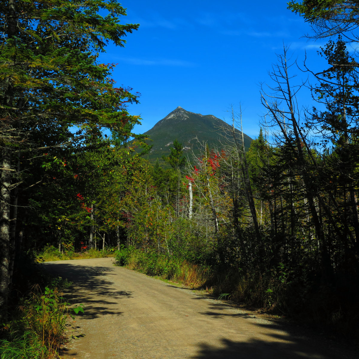
I came around a corner outside the town centre, and the upper reaches of Katahdin were lightly veiled in morning clouds. Its enormous hulk just sat inexorably. A bit later, after the park entrance, the majestic walls of Doubleback Mountain emerged through the trees, and right after was the trailhead. The change in mindset that developed over the long drive up was reinforced by the absence of other cars in the parking area. On a warm early autumn day, handcrafted for a hike, it was looking like I’d have a mountain all to myself — something I’d not experienced since wintertime. The feeling washed over me like a tsunami. Wow!
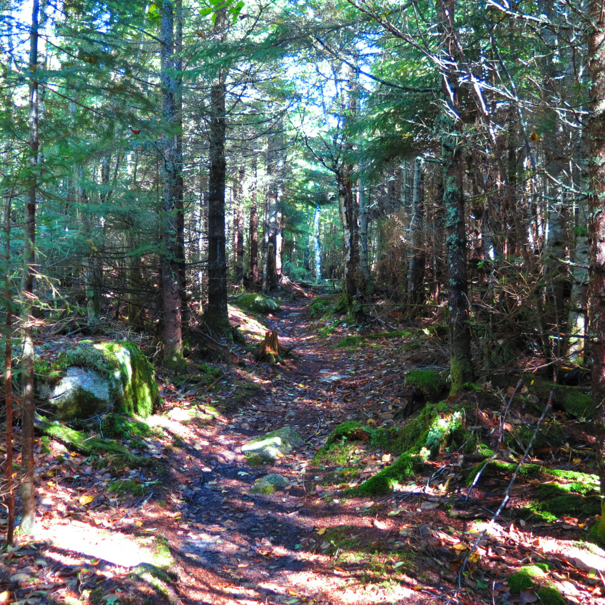
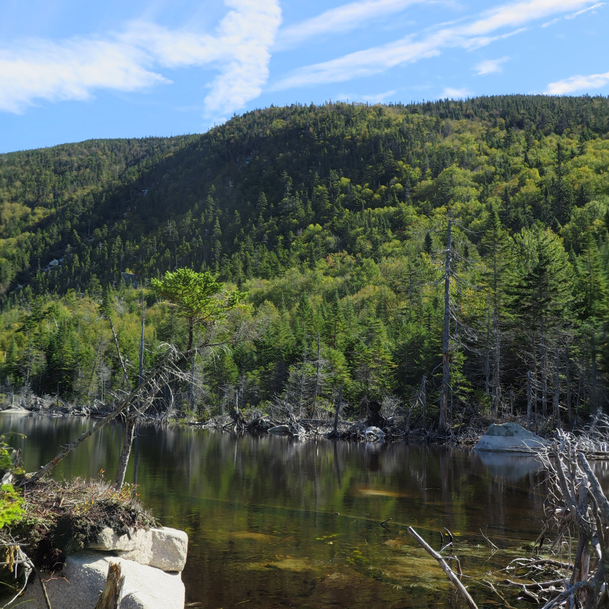
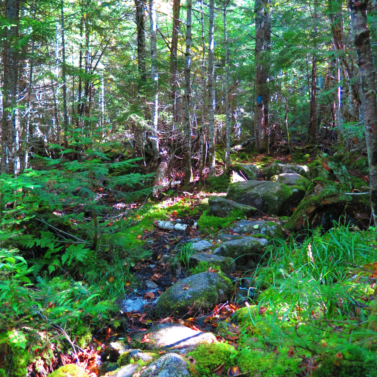
The first couple hours were fairly strenuous. I ascended about 1,000 feet per hour before things relaxed a little. At the lower junction with the Mt Coe Trail, I turned left. It was around this time that I realized the deciduous forest was very mossy. Everything was blanketed by a verdant duvet, softening corners. In contrast to some of the drier mountains I’ve hiked, Maine has trended toward wet. It’s certainly made a difference in terms of flora. If I noticed nothing else, it was the moss and the mushrooms. And for me, that was a very serene landscape.
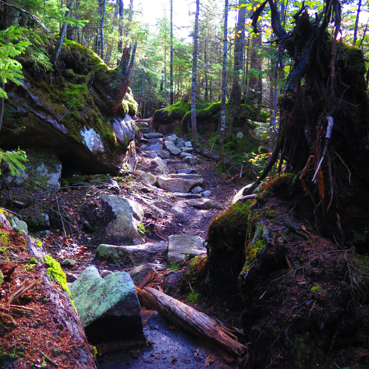
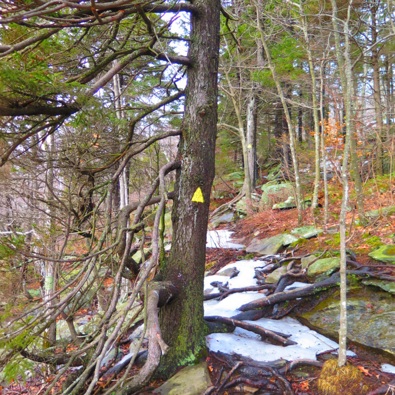
Baxter is functionally in the middle of nowhere, but that being said, the trail was always in good shape. A lot of the steep areas had stone stairs where it made sense, and if not, the smart line up a given obstacle was easy to spot. Baxter may have wanted the park to stay “forever wild,” but the custodians of his gift have worked hard maintaining the trails.
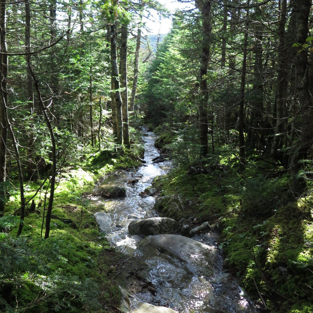
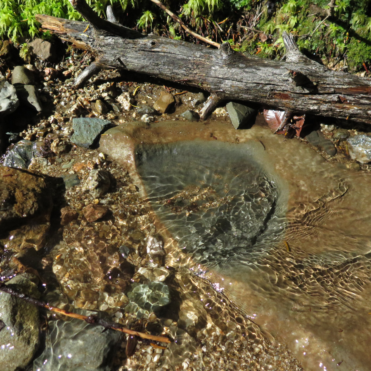
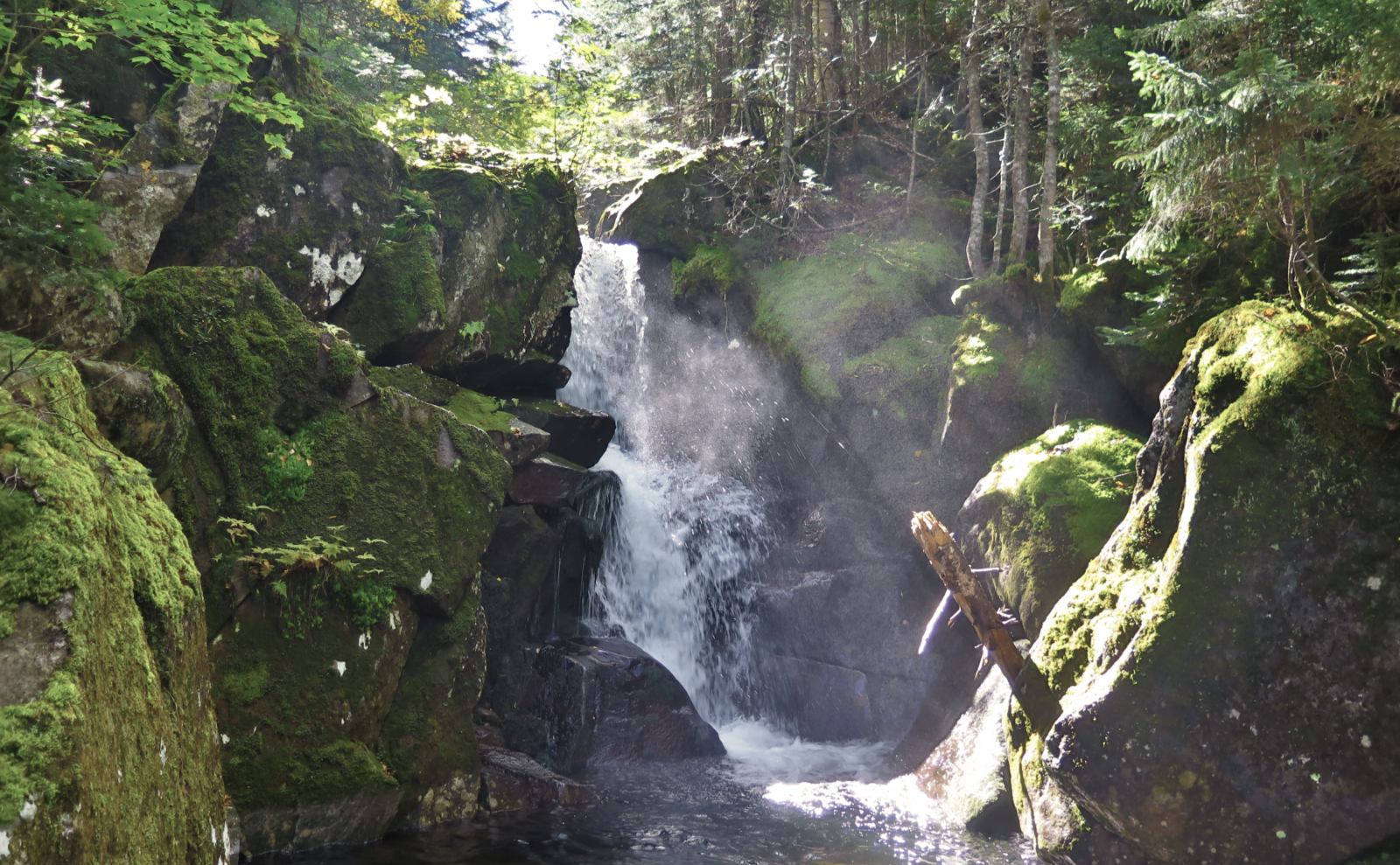
At the upper Mt Coe Trail junction, I again turned left for the last 0.9 mile-long push to the top. That’s when things got interesting. At various points, I had to wonder which came first: the trail or the stream. Whatever the past day’s rains dumped on the mountain, it was coming down without question. For about half a mile of the trail, there was no avoiding the cascading water. Gore Tex shoes, y’all. It tapered with elevation, of course, finally petering out a bit below tree line.
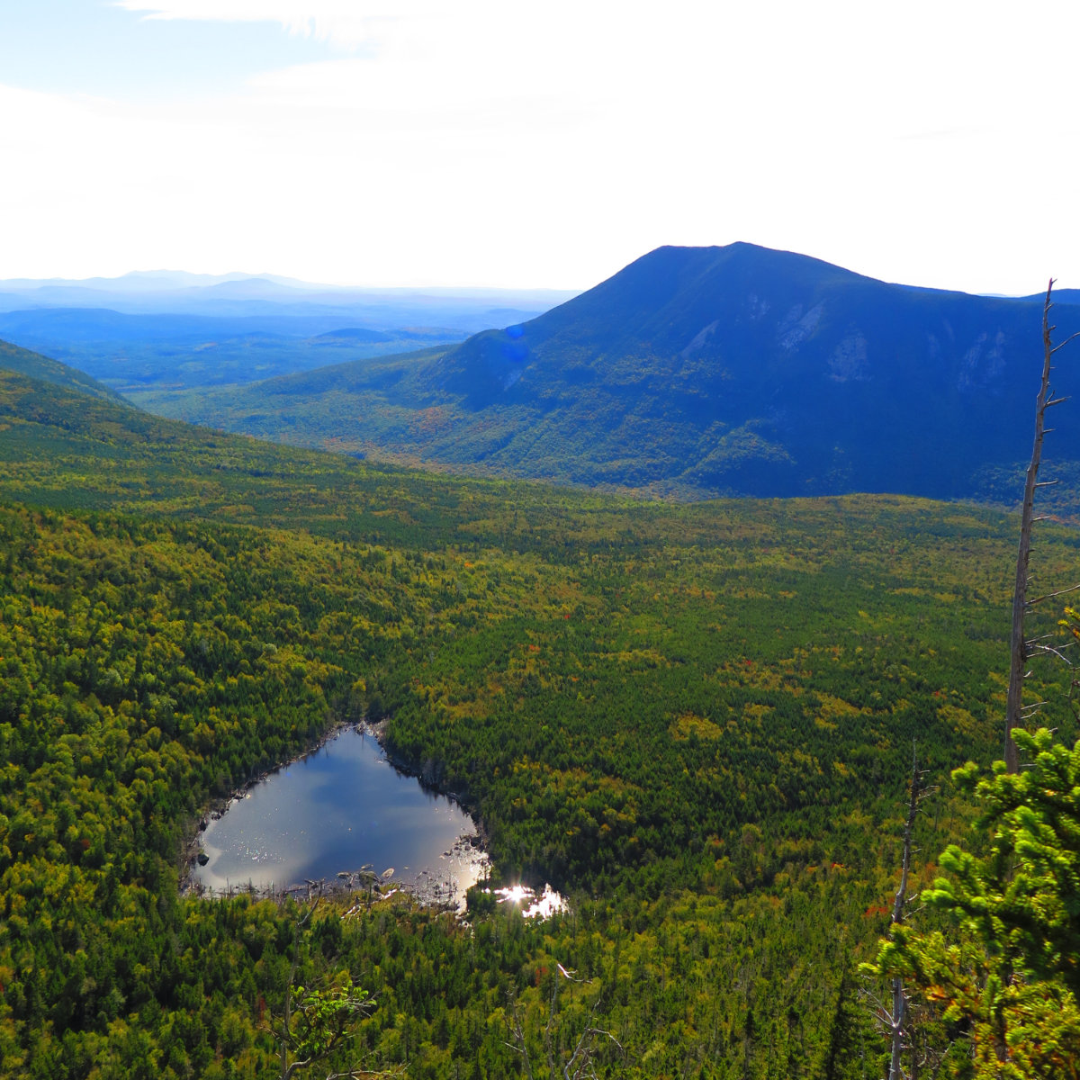
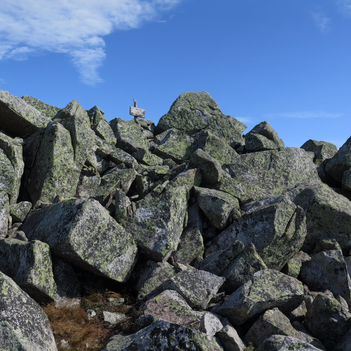
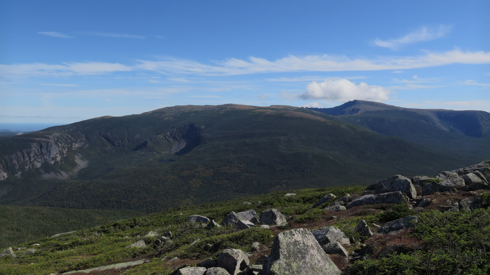
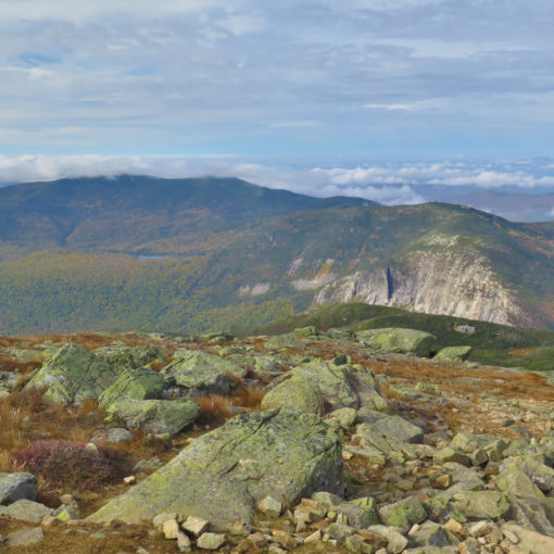
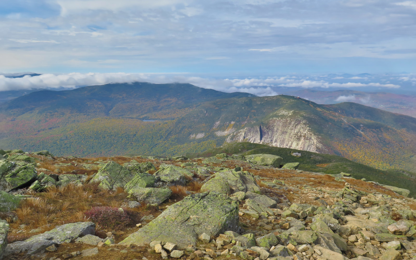
Finally, the summit was at hand, with only a few quick minutes of rock hopping to get there. The views from the top were superlative. Katahdin and Hamlin Peak, Doubleback, the lakes nearby. I gazed out toward the hundred mile wilderness. It’s a fine view up there. Not a cell tower to be seen. Solitude. Quietude. Peace.
I did, in fact, bump into two other hikers who were on their way up while I was heading back down. They were also working on the NE 67 list. For me, this marked #65. The only ones left are Hamlin and Katahdin — and after such a fine outing on Brother, I can’t wait.

2 thoughts on “Trip Report: North Brother Mountain”