
Lincoln Woods to Ethan Pond. Livermore, NH. 2023-08-20-21 (Sunday-Monday.)
Via Eastside, Thoreau Falls, Ethan Pond, and Shoal Pond Trails. 30+ miles round-trip.
Temps were in the 70s (all of them) in the daytime. Low 60s at night, maybe a tad lower. Pleasant humidity — slightly on the higher side of comfort, but a breeze here and there made things comfortable again. A mid-weight down sleeping bag made for comfortable slumber. Lightweight would have been fine, too. Heck, I didn’t need a fleece cooking dinner or brekkies. A comfortable change from cooking higher up.
Budget 8-10 hours each day. More for Shoal Pond trail; I’d go with at least 8 hours for the day you tackle Thoreau, 10 for the day you nail down Shoal Pond.
Thoughtful on Thoreau, Suffering on Shoal.
Sometimes it takes really stepping out of your usual playpen to realize things you’d never known. For whatever reason, I decided against doing anything on my grid list for the month, and just go out for overnight trips, wherever they might be. Of course, I’m still redlining, so why not knock off a couple trails this time around? Heading up to Ethan Pond seemed like a good idea. I could knock off three fairly long trails, and not for nothing, some of the more inaccessible mileage in the Whites. I wasn’t disappointed.
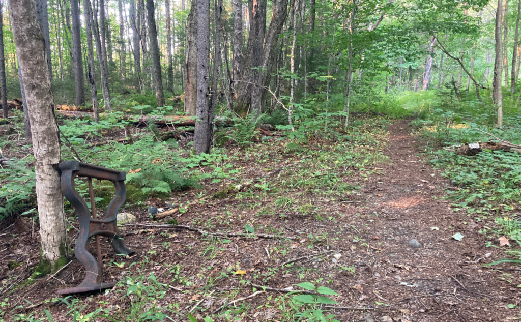
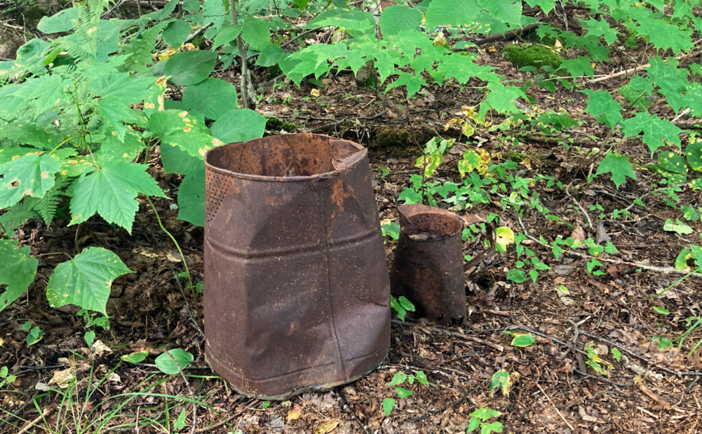
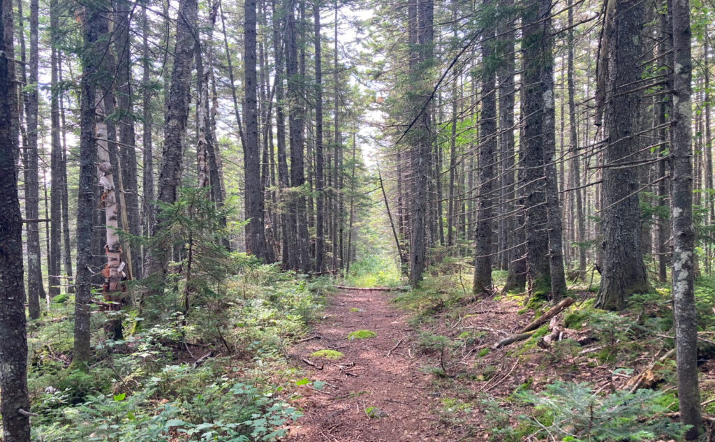
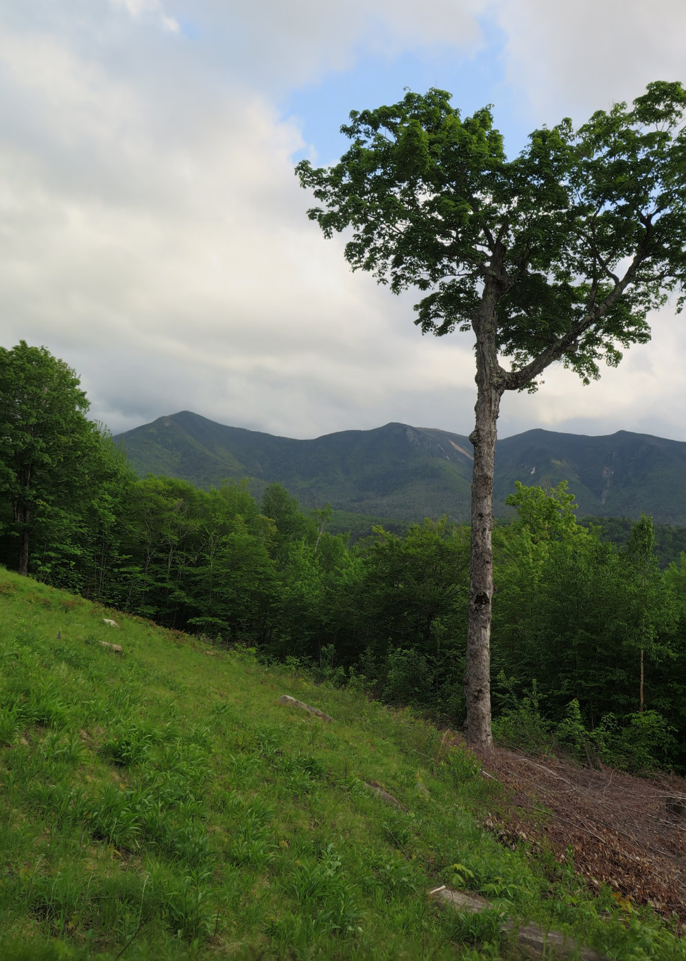
As it turns out, what we now know as the Lincoln Woods trailhead is actually pretty new. I had to go up to my 1983 AMC guide before I found a reference to the suspension footbridge. Until then, what we now know as the Lincoln Woods trail was actually the Wilderness trail. Before then, of course, it was a nexus of JE Henry’s universe. On this trip, I would mainly stay on old railbeds.
The downside of having guides that go back in time like that is you get to see how things were, and you wish to some degree they still were, because hey, stuff was pretty neat back then. There is a gift to knowledge, and also a curse. Then again, my imagination is fertile enough to ponder on how things were when Chocorua, Passaconaway, and even Kate Sleeper tramped around in these woods. Temperance is the key to not going nuts.
Hard, austere, wet.
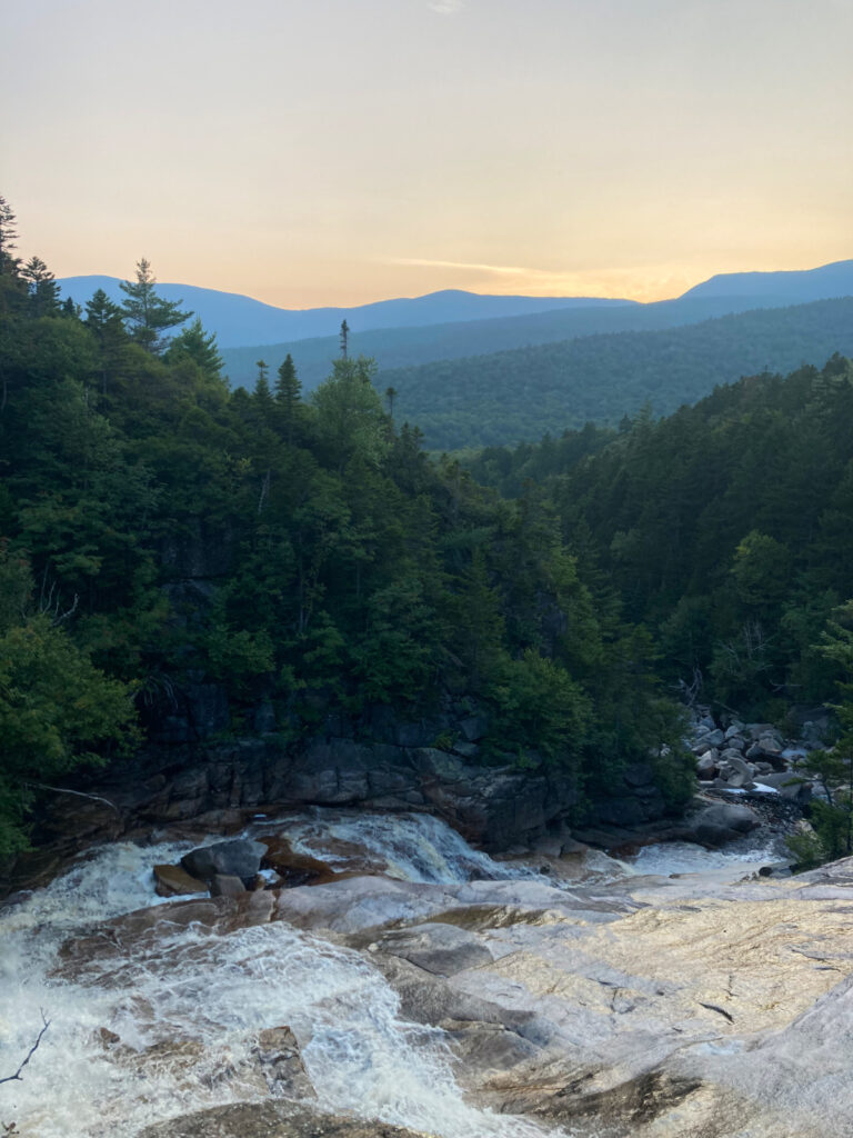
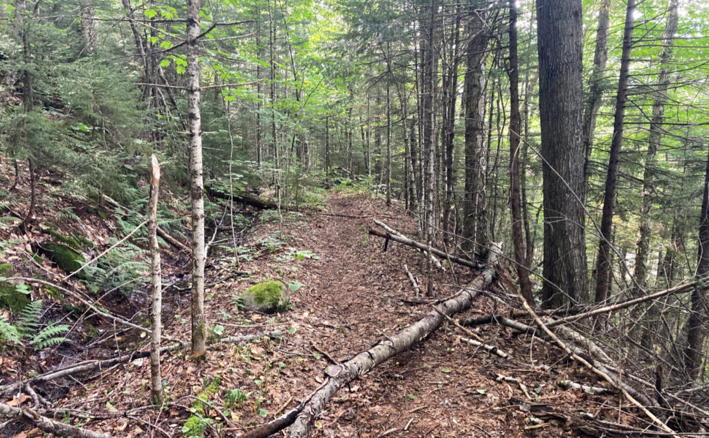
This is a rough outing to chronicle. I’m tempted to let the pics (40+) do the talking. But a few notes. The trail was long on this one, and sometimes, you wonder when your weakness outruns your strength. After some time, you realize you’re running out of bullets, and yet, the fight continues…
It was more than 15 miles out, and at least 15 (probably 16) back. Make no mistake, this outing is robust. I got a later start than I’d have preferred, but no matter, the physical hit I took was pretty big. When I was planning for hiking the AT, this would have been a low-miles day by the time I hit Virginia, but from effectively a standing start, I kicked out fairly high mileage on some tough miles, even though the elevation gain was very modest. Thoreau Falls is a fairly reasonable trail, but the mileage is still pretty substantial. Shoal Pond Trail is shorter, but plain hard miles. No questions there. Don’t go into this hike thinking it’s going to be a simple outing. It’s anything but.
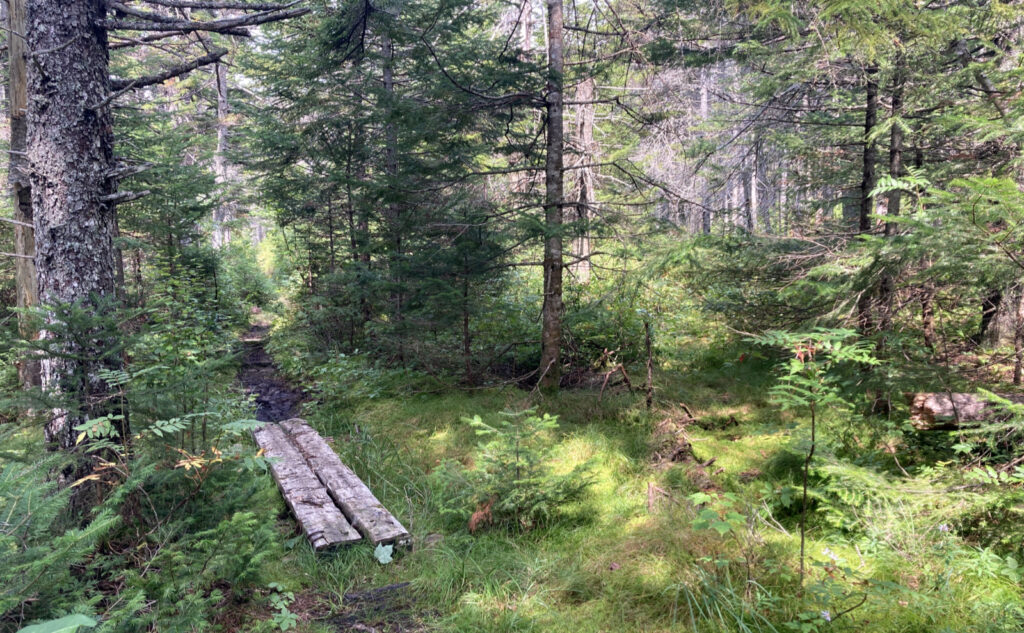
In a nutshell, Thoreau Falls is certainly a hike I’d do again. Shoal Pond… off the cuff? I’ve booked that mileage, thanks very much. It was a slog, to say the least, plus there were two trips up and back again on Ethan Pond Trail (which is a drag in and of itself.) I thought a lot about the AT hikers who have to traverse this mess, and felt sympathy combined with a new understanding of the expression “embrace the suck.” There was no way to get in a good series of strides, because there was endless stepping around muck, and the puncheon was so rotted that you couldn’t even trust that for good footing. And let me tell you what it’s like taking cobwebs to the face twice in half a dozen feet of trail. Dozens of times over. “Relentless” is a good name for this loop. I’m thinking I might have been better doing this after a good firm frost.
A lot of diamonds in that rough.
Overall, though, I’m still beaming about the trip. No question, it was a rough one, and I’m still nursing blisters on my feet. I brought three pair of socks, moleskin, and Body Glide. None of it mattered; all of it’s shaping my decision making on where to go this upcoming weekend. I have a lot of nuanced thinking about the trip.
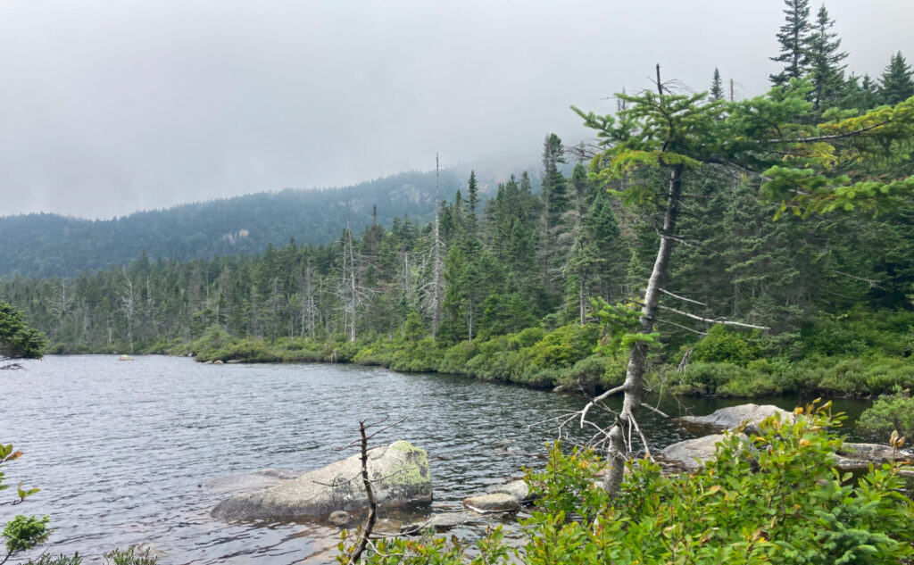
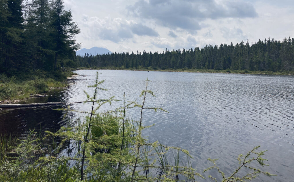
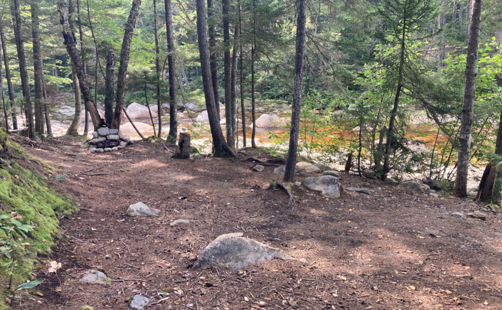
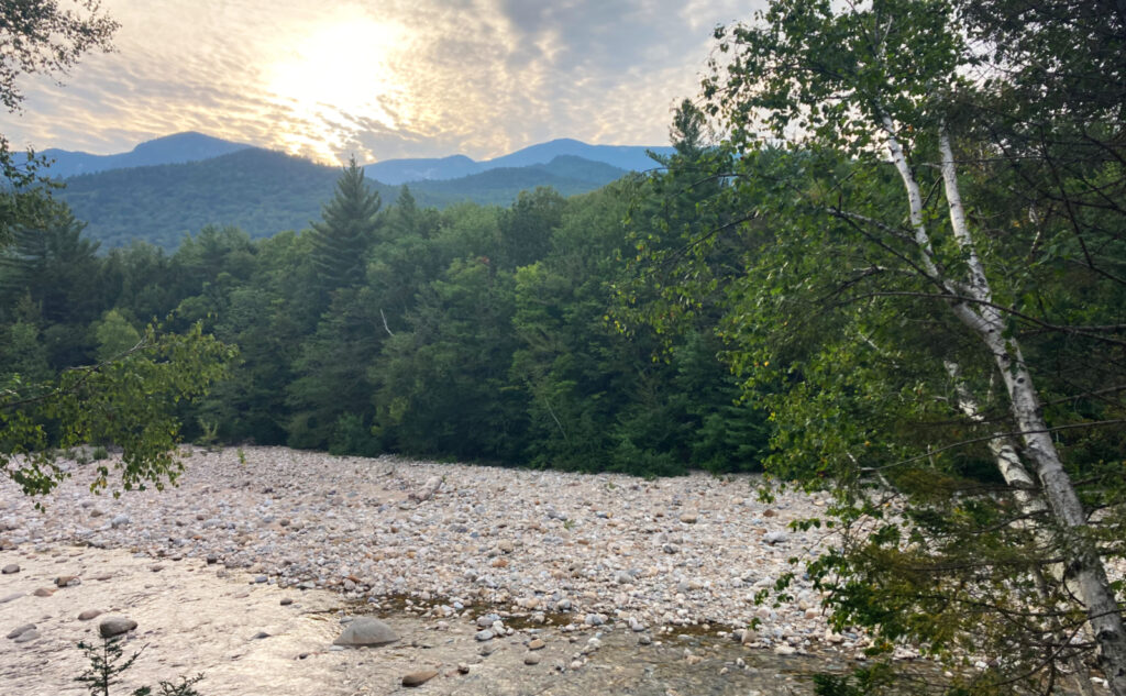
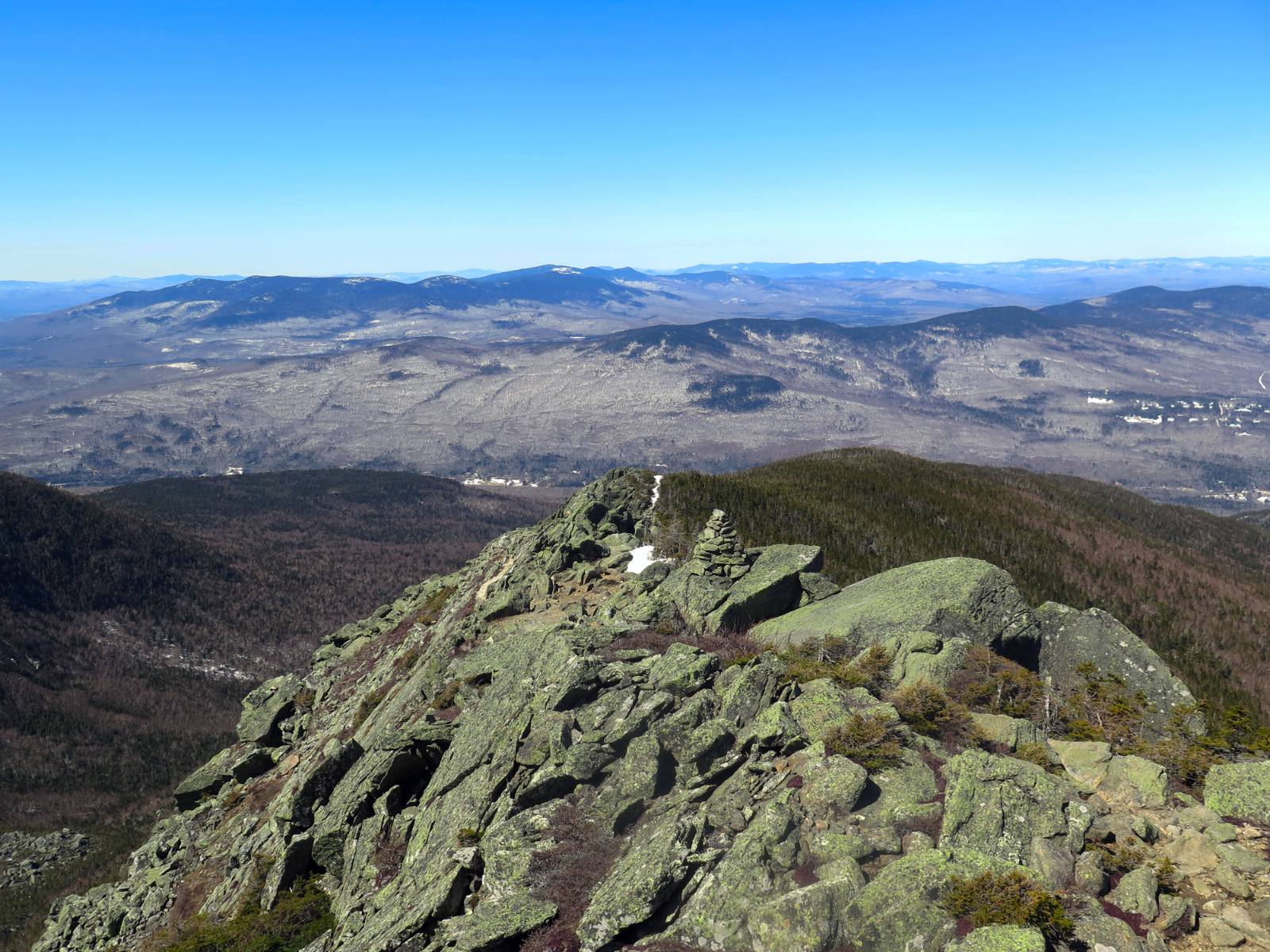
Ethan Pond is, of course, lovely. I strolled into camp as the last dregs of light was rapidly fading over the western horizon, and a glorious blood-orange sliver of a moon was hanging over the landscape. Stars overhead were thick and rich, extending as far as the eye can see, billions of years into the past. I savored the primal sensation. My tent site was off-platform, on a soft bed of duff beneath the conifers. Exhausted, the wind sang me to sleep.
On the way back out.
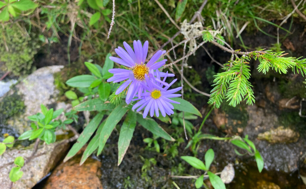
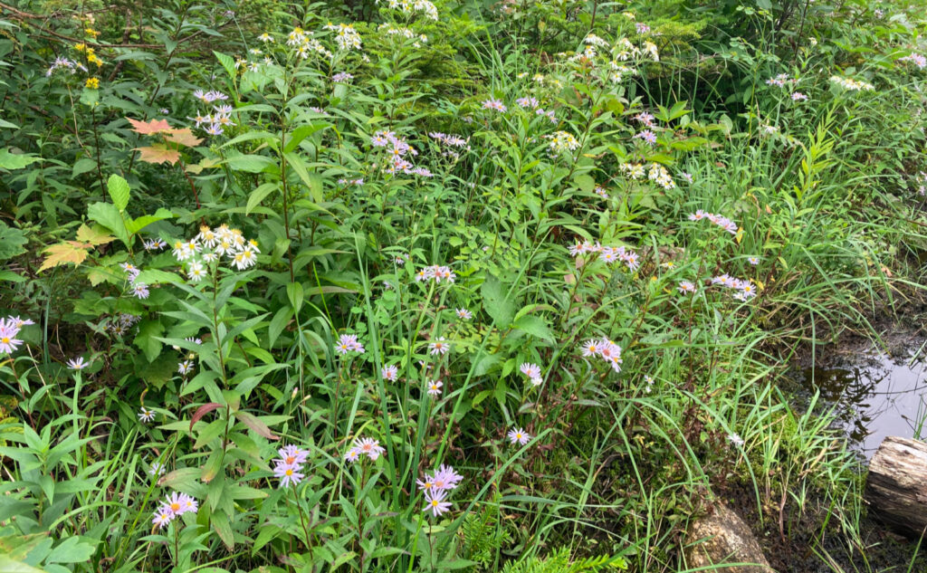
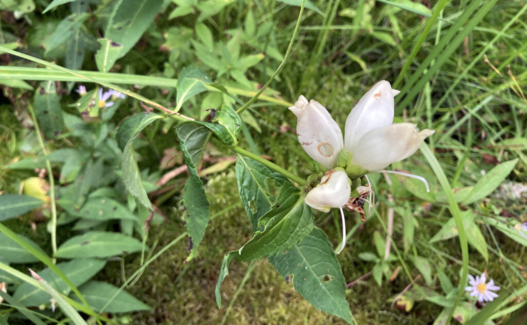
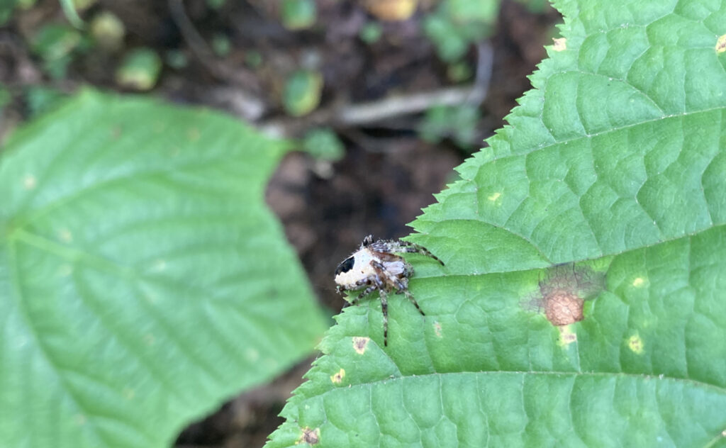
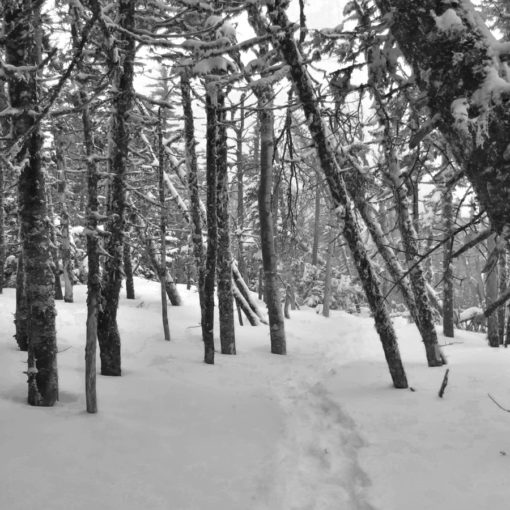
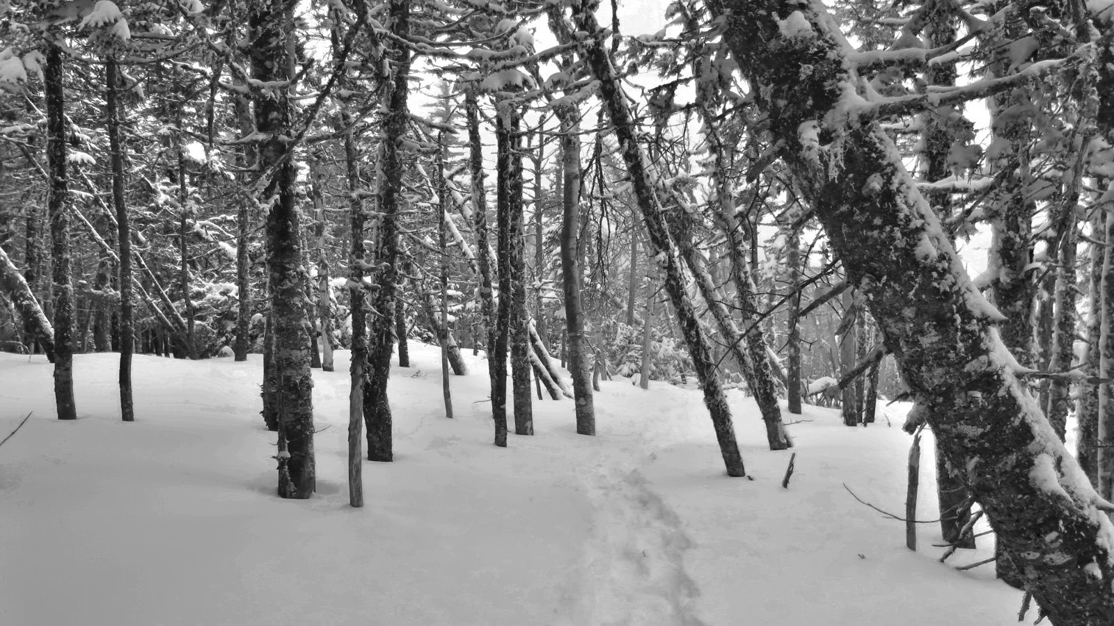
In the morning, I had breakfast with two AT hikers who’d started in March, whose motto was “who finishes last, wins.” I can respect that. On the way back, I enjoyed the asters alongside the trail. I tried to avoid all the cobwebs, but realistically, it was a lost cause. Shoal Pond trail gets little to no traffic. Consider holding out a stick as a spider scimitar. (If you’re arachnophobic, this probably isn’t the trail for you until after a hard frost.)
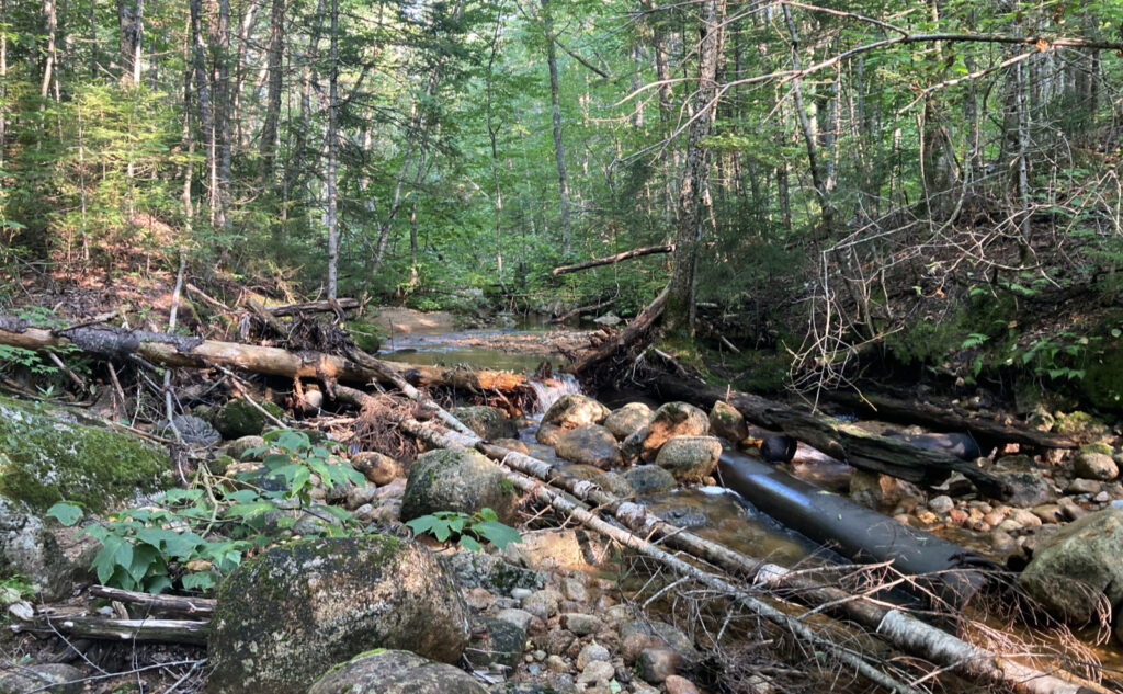
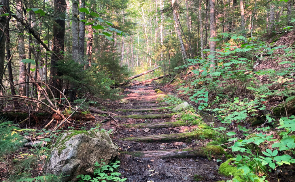
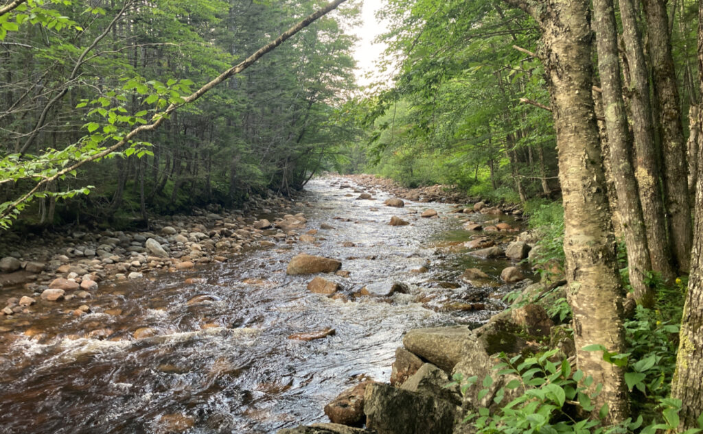
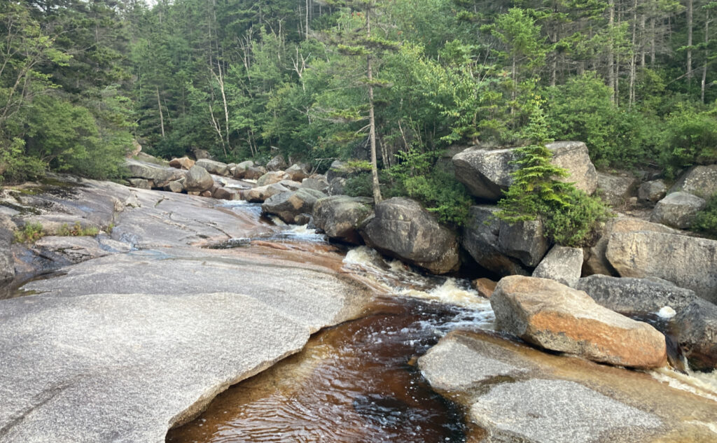
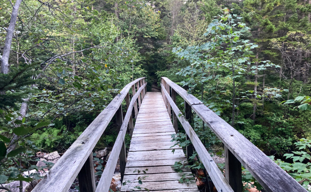
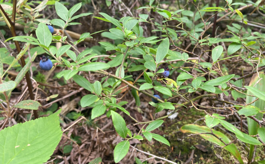
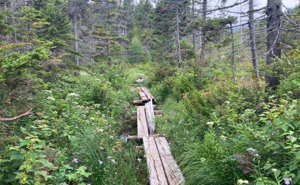
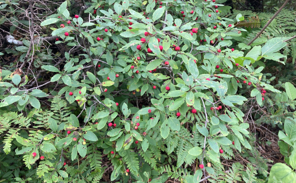
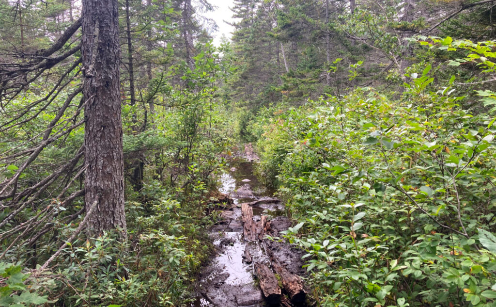
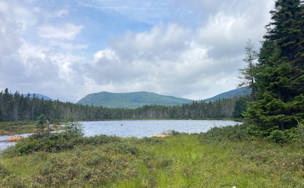
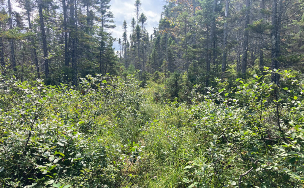
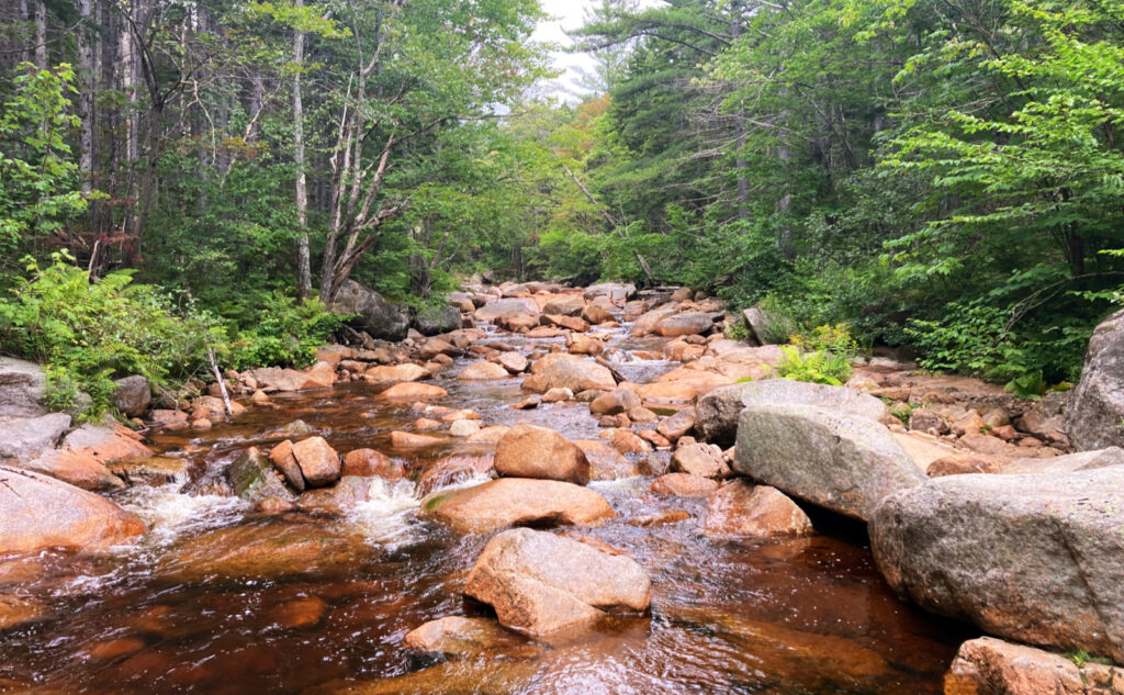
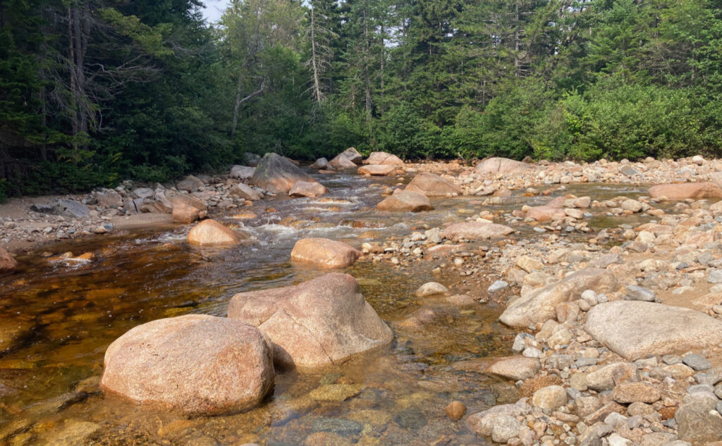
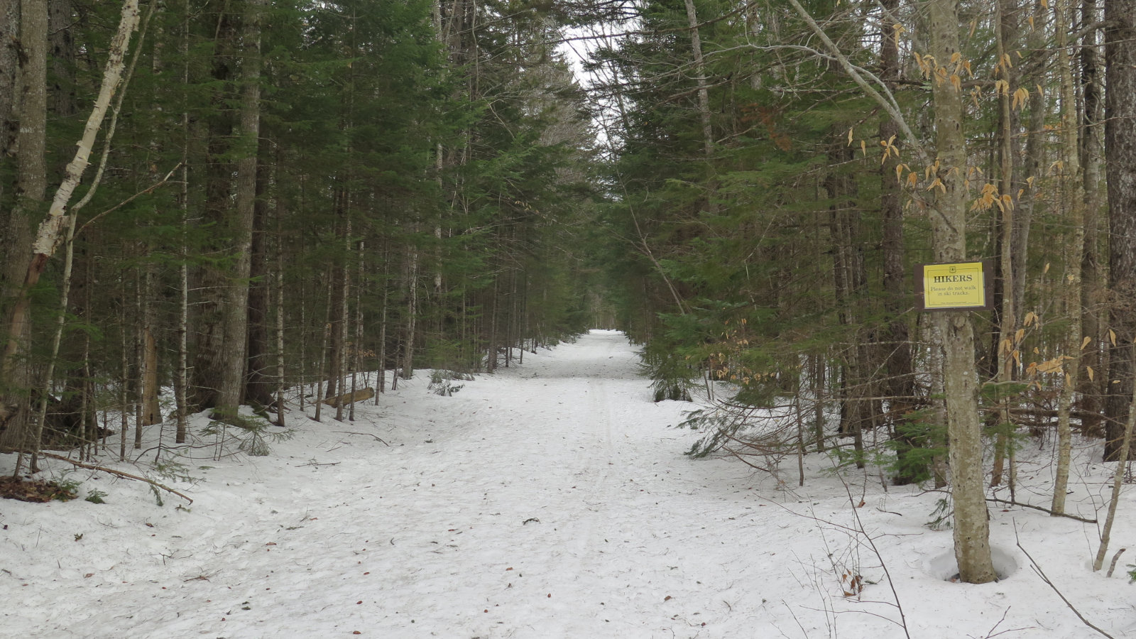
From camp until I got to Stillwater, there was a lot of water on the trail; looking at a topo map, you can appreciate that the whole area around Shoal Pond trail is fairly shallow, hence the water doesn’t really drain all that fast. There’s quite a lot of bog bridge, but much of it is rotting away, with some of it very nearly outright peat. Consequently, it’s fertile land for a lot of growth. Few places felt so lush. But know that from camp until after Stillwater, it will be improbable — if not outright impossible — to have dry shoes by the time you get back to the trailhead. I can’t emphasize that enough. Again, I brought three pair of socks (plus a fourth that I left in the car, for the drive home) and none of them stayed dry in the slightest, entirely because of Ethan Pond and Shoal Pond trails. Know going in that this hike will be hard on your feet. Consider a stout pair of Wellies. Some of the mud was easily deep enough to swallow my entire foot; a trail runner told me that at one point, he went in well past his shin.
Stillness and solitude. Self sufficiency for certain.
Apart from the two endpoints of each day, I really didn’t see people. I think maybe two people tops crossed my path over the whole trip. The solitude was striking. People wonder if I’m unsafe, and for some reason, I never felt in danger, or even unsettled, despite being miles away from anywhere. For sure, if the idea of this bothers you, I’d stick to the trade routes, where you’re all but guaranteed of seeing someone at least every ten or fifteen minutes. For this outing, I think it was at least three to four hours between seeing humans anywhere. That’s probably the biggest take-home for me about this loop.
As always, stay safe out there.
Nuts and Bolts: Lincoln Woods was the “preferred” start and end point. Exit 32 off 93, drive five miles out of town to the east, park. Logical variations on the theme could include starts from Mt Carrigain, Route 302, or even Mt Hancock.
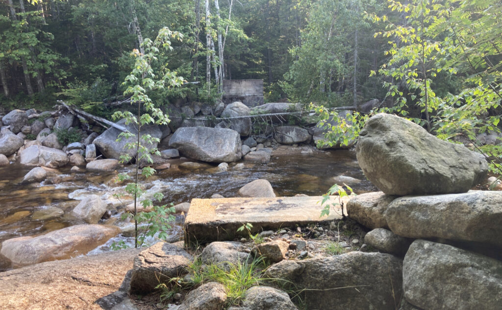
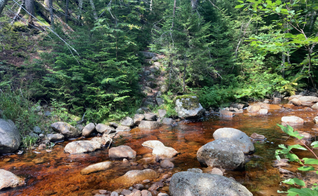
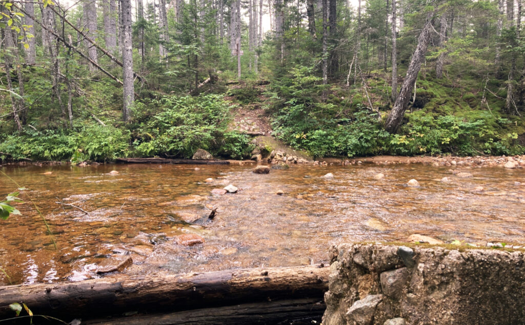
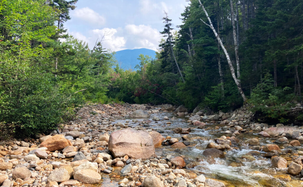
Trailhead for Lincoln Woods will be near the ranger station. Be aware: the East Side trail DOES NOT cross the suspension bridge. If you do, you’ll face a crossing of the Pemi East Branch river to get to where you need to be. At the time of this writing, the river has risen, and Neptune ain’t willing. Any crossing of the river within half a dozen miles of Lincoln Woods trailhead is treacherous, if not outright deadly. In contrast to drier iterations of the month of August, it is a fool who makes the attempt this year. Yep, you might just make it, but were calamity to ensue, you’ll be done for long before help can be summoned, let alone get to your side. It’ll be a recovery, not a rescue. While some of the calmer side channels of the river may indeed provide nice spots to cool off from the summer heat, the main channel is a raging torrent. Crossing is not advised. The mountains have been around for the past 12,000 years. They’ll be around tomorrow, I’m sure. Patience is a virtue in all outdoor activities. While the river rages, just stick to the correct side, and things should be OK.
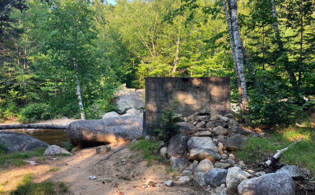
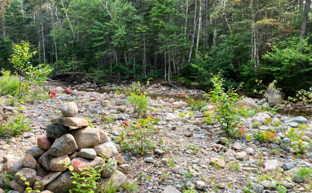
At the time of this writing, the crossing on the Wilderness Trail was entirely doable, if done with care and attention due to such things. It was about knee-deep, and moving robustly, but if you lean into it, you’ll be fine. I highly recommend using trekking poles, and going barefoot, so you can feel what you’re standing on. (The cool water will be refreshing at that point.) As one does, if you get there and things seem out of your league, there is no shame in turning back. Again, the mountains have been here for 12,000 years. The trail will be there when you’re ready. Crossing at Stillwater was trivial. Camel up at the Carrigain Branch: that water is delicious.
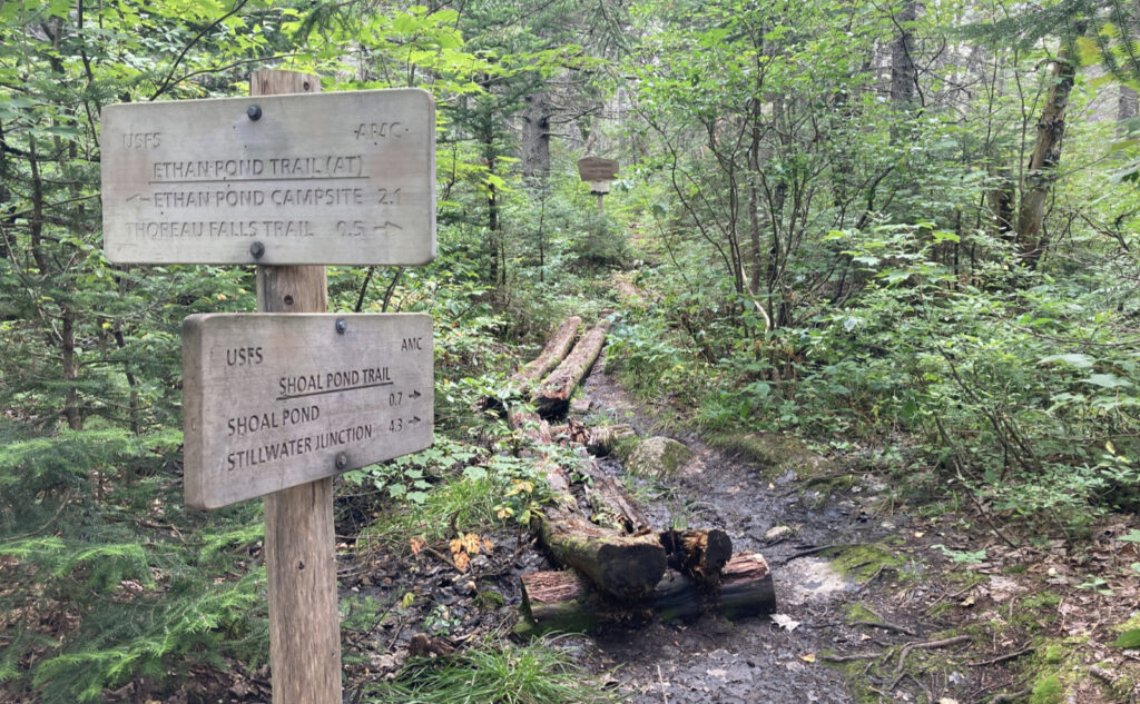
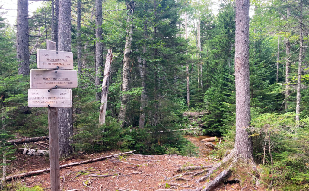
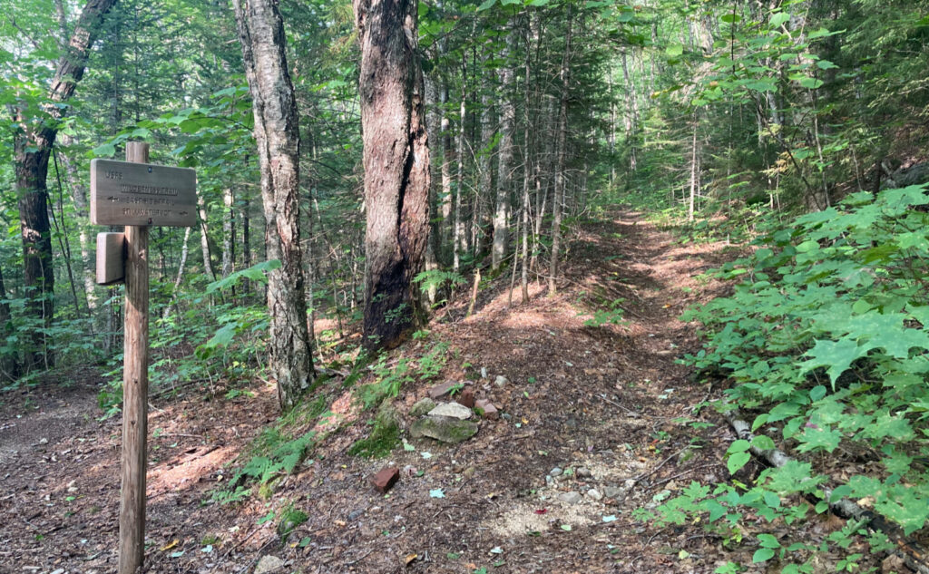
Blazes on this trip are yellow and vanishingly sparse. No kidding, I saw exactly one yellow blaze the entire weekend, and one cairn that I can think of. Obviously, there are the usual white blazes on all parts of the AT. The spur for Ethan Pond shelter is easy to follow, and there’s a small sign on the AT pointing the way in.
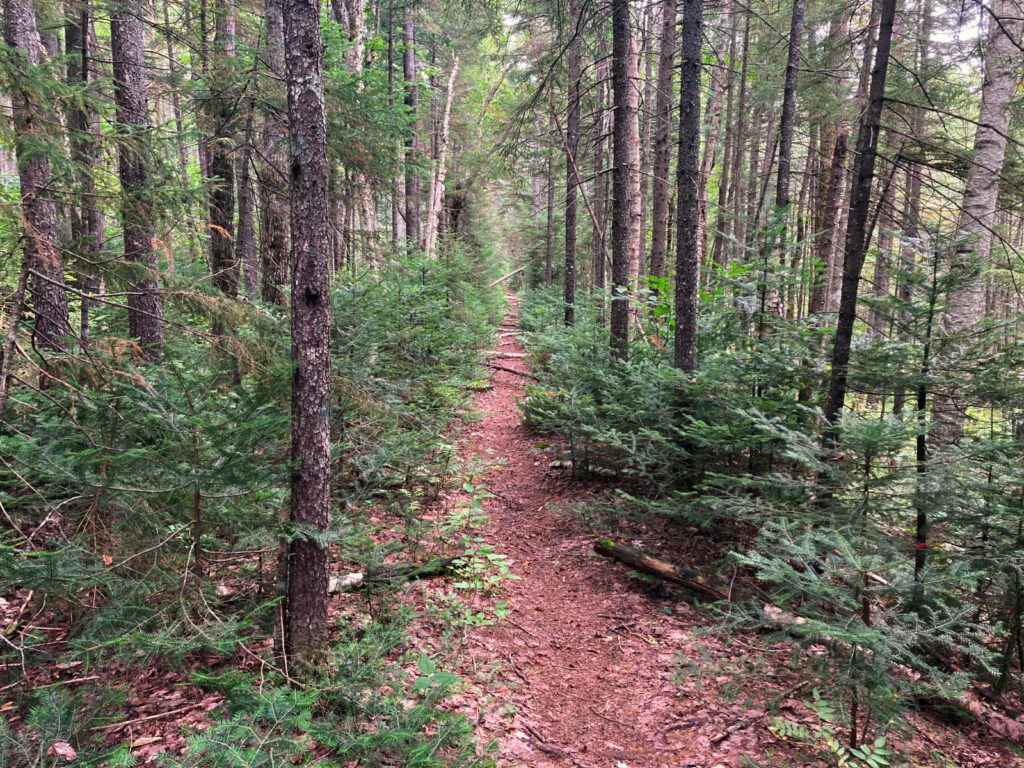
Overall, the trails aren’t hard at all to follow. Note that I saw nearly no-one else the entire time I wasn’t either on the AT (Ethan Pond Trail) or on the East Side Trail inside the area between the parking lot and the Franconia Brook tentsite. Be self sufficient. The next person who might meet up with you likely won’t be around until tomorrow at the earliest.
Given the hammering my feet took, looking back, I might have planned in an overnight at Franconia Brook, just to let my feet rest. Make no mistake, Shoal Pond Trail makes for some very obnoxious mileage. It’s not at all steep, not at all strenuous in the usual sense. But there’s a lot of stepping around mud and outright standing water. No small number of puncheon and bog bridge is in utter disrepair. (Stepping on one puncheon, the far nail had rotted out, and the log cantilevered up; my foot went into the drink, and I ended up crashing down on all fours. Good times.) I can’t think of a trail that’s this arduous. It passes through some absolutely gorgeous scenery, but it extracts its pound of flesh from your hide. Be forewarned. It’s a tough slog.
If you enjoy reading these posts, please subscribe — stay in the loop! Your email will only be used to alert you of new posts — typically 1-2 times per week. I will not use or share your email for any other purpose without your express permission. And feel free to share via social media using the buttons below.
Find me in the mountains, on this blog, or on Twitter: @Protean_Hiker https://twitter.com/Protean_Hiker/
Help support this blog! Visit www.photos.proteanwanderer.com to buy some of my signature images.