
Bondcliff, Bond, and West Bond Mountains. Lincoln and Livermore, NH. 2023-08-13&14 (Sunday-Monday.)
Via Lincoln Woods & Bondcliff Trail, West Bond Spur. Somewhere around 25 miles round-trip. (My watch called it at more than 26 miles each day, but I’m not going to do the math. It’s a lot of miles and climbing.)
Daytime temps in the 70s. Nighttime temps seasonably cooler at the shelter. Winds were nonexistent down low, up to a felt breeze in the trees, about 15-20 knots at the summits; in the areas of Bondcliff where air is funneled upward, significantly faster. Sun and clouds, some rain, an odd clearing at night (yay meteor showers!) and just about everything else throughout. Though at times it might have been raining cats and dogs, at least it wasn’t hailing taxicabs and busses. (Thank you very much, I’ll let myself out.)
About 26 hours round trip.
Wet and Wild in the Whites!
There were times when I was outright demoralized. When the sun went down, I still had a mountain to climb, and I was feeling like a drowned rat. It had been raining off and on for the past three hours. At the tail end of a summer that’s already seen record-breaking amounts of rain and flooding, it’s long past the point of “enough.” I’d slogged through miles of muddy trail that should have been left behind in May. My legs were at once on fire, numb to the pain, still feeling the crush of every step.
All the same, I was in the mountains again, after a far too long hiatus. I was starved, cold, wet, and jubilant. Not just anywhere, but I was in the heart of the Pemigewasset. Home. I couldn’t think of a better place to be. The promise of a warm sleeping bag lay before me, and maybe even a little bit of energy left to cook a hot dinner pushed me onward, upward. The duality of life played out with every painful, cleansing step.
Where, oh where have you been?
I have a lot of conflicting feelings about how this summer has turned out. April and May saw me with grand plans. A Pemi Loop, sure, but also some kind of Presidential traverse, maybe some time around Grafton Notch. But I have professional aspirations on my plate, too, and those needed to be addressed. The summer was spent in a classroom. My weekends got busy with homework. As happens.
All things come to pass, and with the end of the semester, I laced up my shoes. Thinking I’d be out of shape, I went for something easy and familiar. Thinking back, I could have picked a lot of other hikes that would actually have been easy. This one, though, had me sleeping in one of my favorite places, and standing on one of my favorite summits. In two days, I got a lot of me time.
Where oh where did you go?
As mentioned, I went for familiar. No doubt, there are places that are different but just as memorable. To me, though, there’s an intoxicating, narcotic bliss whenever I’ve stood on West Bond’s summit first thing in the morning. So far, every time I’ve had the summit to myself, free to let my eyes and my mind wander across the landscape. This time was no different… except the wind kept the black flies wonderfully at bay. Most likely, the rain kept the humans at bay, too. The trails were remarkably barren of people. I’m not complaining.
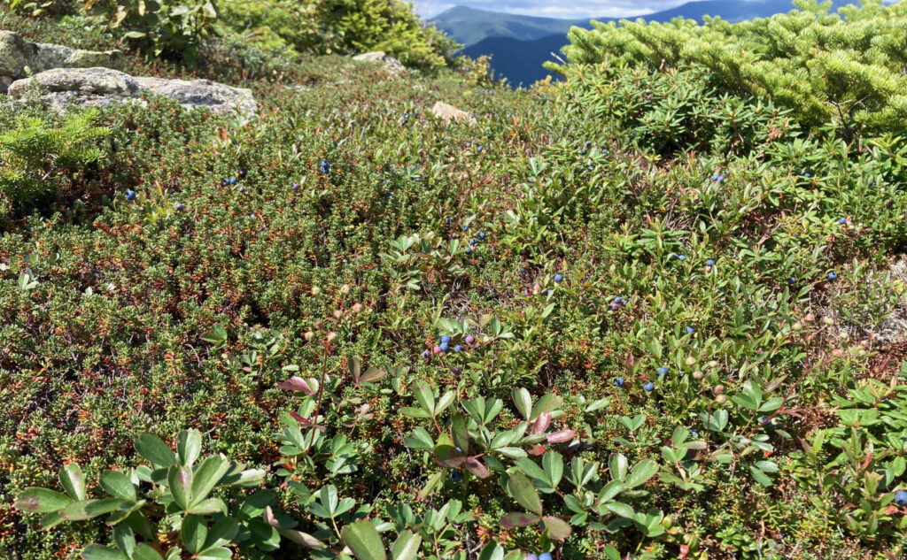
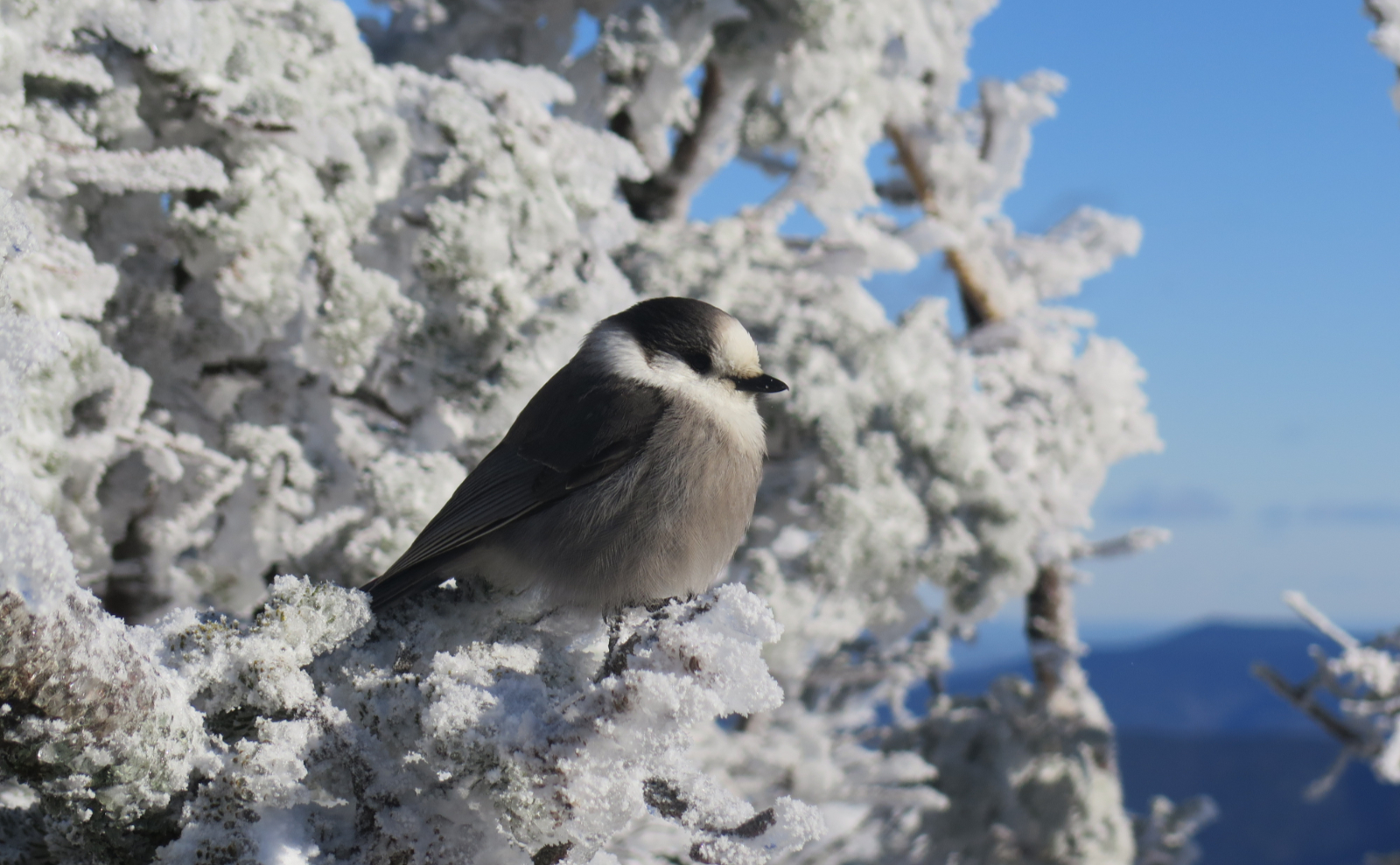
Oh, and there were wild blueberries for second breakfast. (For those biologically inclined, I reflected on both the Krebs cycle and the Calvin cycle.) They’re just about at peak ripeness, and the bigger ones were wonderfully sweet. The lingonberries are tart, but just a shade underripe. Maybe a week or two more and they’ll be at perfection. I don’t know of anywhere that has such a reliable crop of berries as those on Bondcliff. Again, there were reasons why I picked Guyot, and while I have fond memories of getting there by way of the Twins, I’d miss out on the blueberries on Bondcliff.
Moving right along.
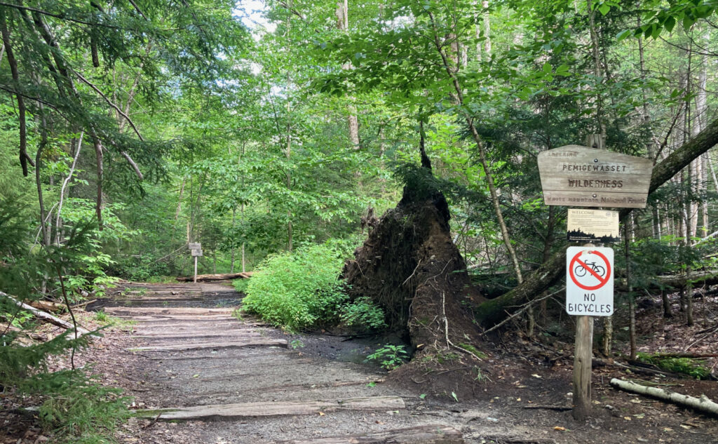
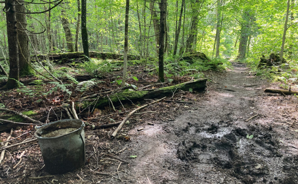
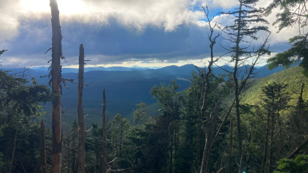
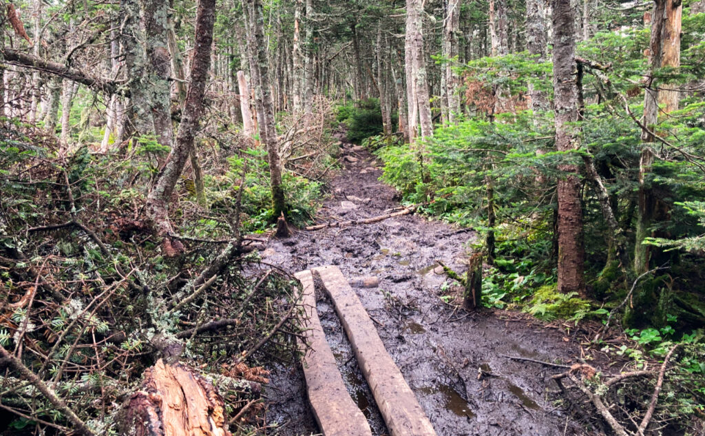
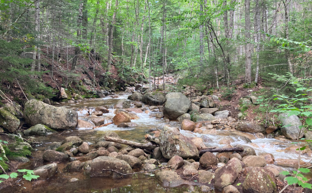
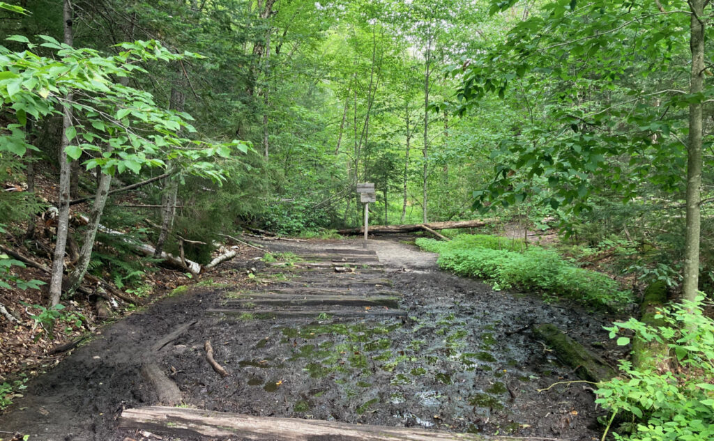
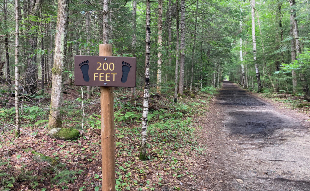
I got going under warm skies — maybe on the cooler side for August, but still unquestionably warm. It was pretty bright under the green tunnel that is the Lincoln Woods trail. I made quick travel over the first four miles or so, with the terrain being mainly the old rail beds that are JE Henry’s legacy. There was mud everywhere, some of it relatively easily crossed, some more involved than that.
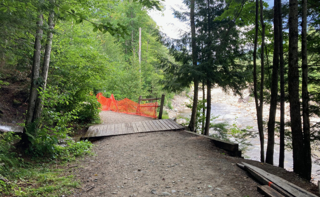
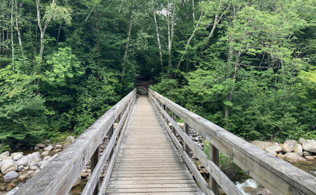
With all the rain this summer, the trails are taking a beating. Notably, the rail fence on Lincoln Woods trail got washed out. (I’ve heard it’s a priority for the Forest Service to fix that, but what that fix will look like is anyone’s guess.) They’re still working on the wooden bridge that’s been under repair for the past year or so; the little stream it spans is moving like it’s still April. The East Branch was full, and moving fast. (For the techies, as I write this, it’s more than 300 cu ft/second. This time last year, it was less than 60.) The mountains are shedding a lot of water.
Every silver lining has a cloud.
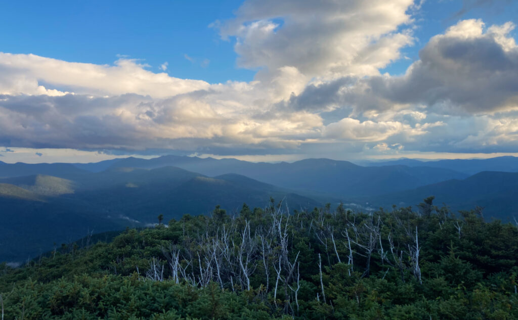
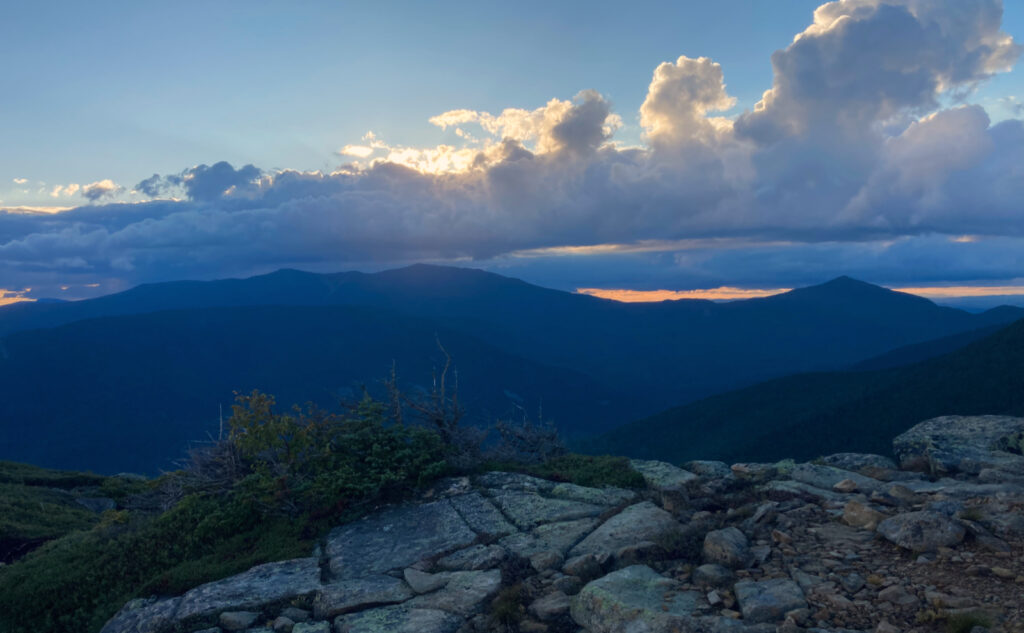
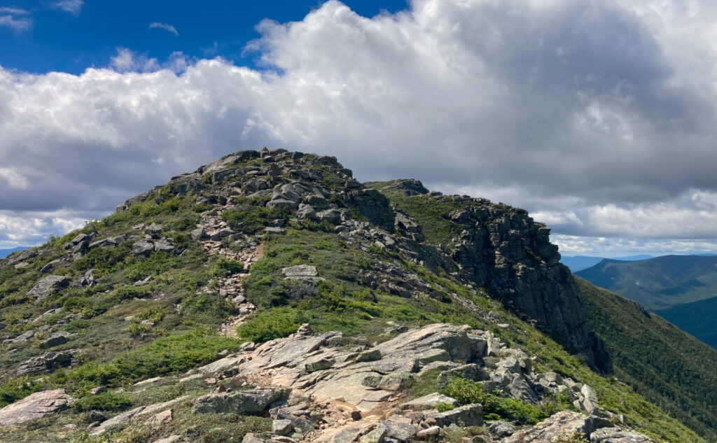
I was well onto the Bondcliff trail when the first rain showers came along. OK, a bit unhelpful, but what can be done about it? It’s not like I wasn’t already a bit wet and muddy by then. I pressed on. The terrain was pitching upward well and truly at this point, and as the day wore on, I knew I wasn’t going to get to Bond by nightfall. That much didn’t really bother me, and indeed, the sun set while I was just below its summit. But hey, I did get some sun earlier, on the summit of Bondcliff. I can’t really complain.
I strolled into the Guyot Shelter maybe about 45 minutes later, and I had my pick of several tent platforms, or a spot in the shelter itself — there were only five souls under its roof. I went with platform 6, which oddly, is the one I’ve been assigned the other times I’ve visited the site. The boards were wet, but mercifully, the rains were over and done with. I cooked dinner, and then spent a bit of time looking up at the stars that inexplicably came out bright and clear. Cassiopeia was visible, as was Cygnus, and a great view of the Milky Way itself. I spotted a couple passing satellites, and saw a few shooting stars. Not quite the expansive view that I had last summer, but still memorable. Then I climbed my exhausted self into my sleeping bag and awoke the next morning.
Back up and at ‘em.
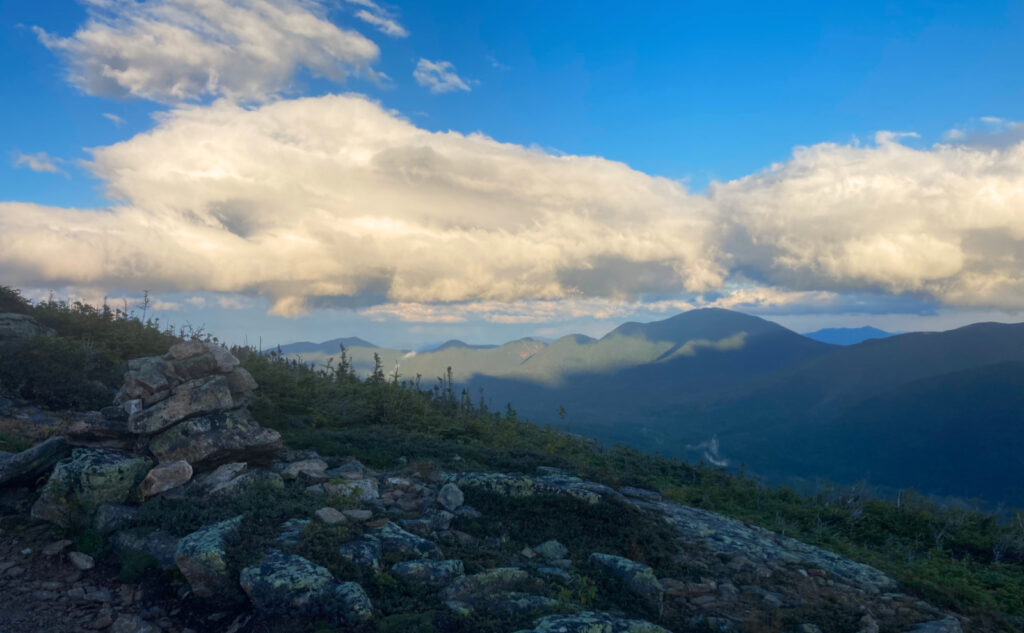
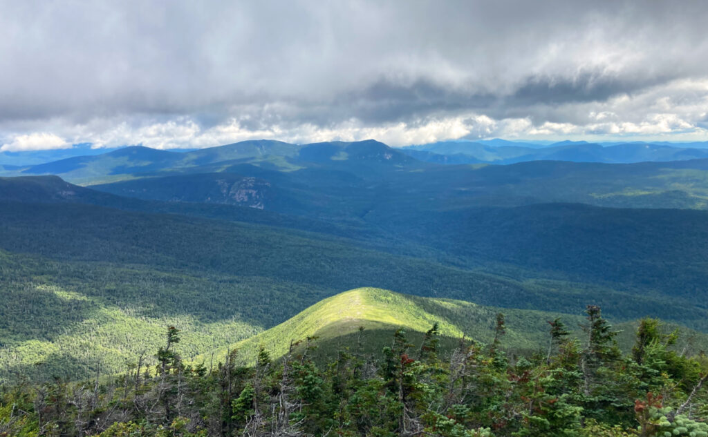
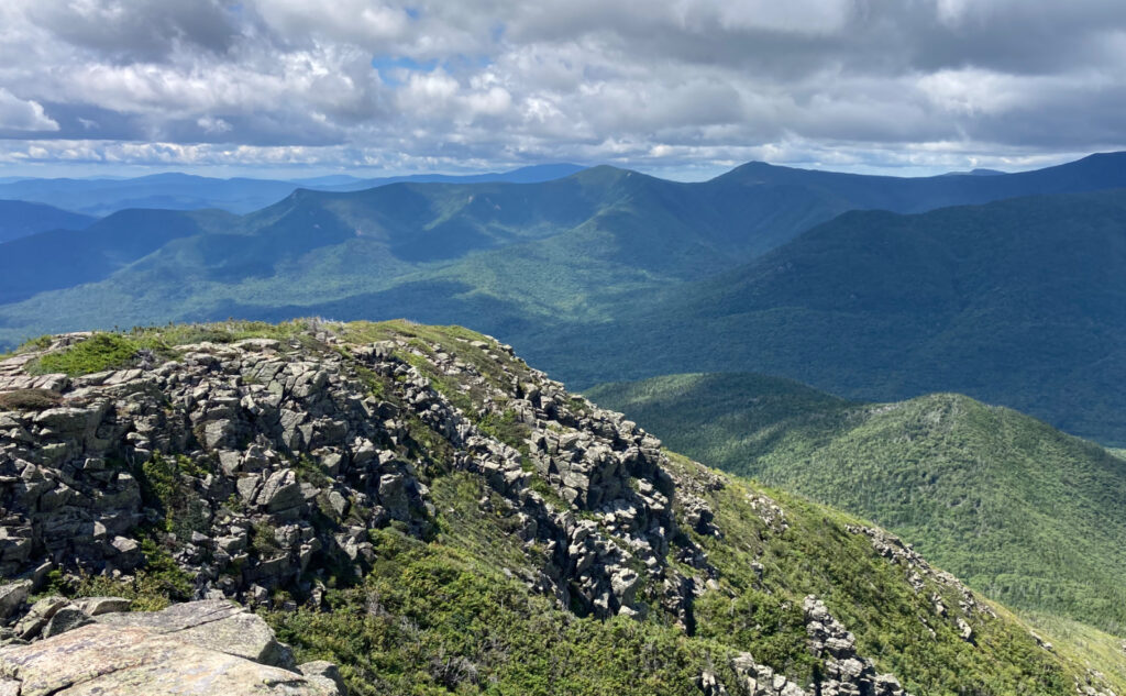
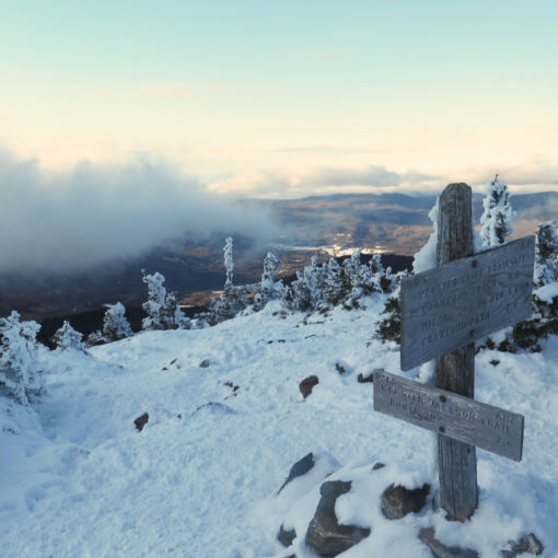
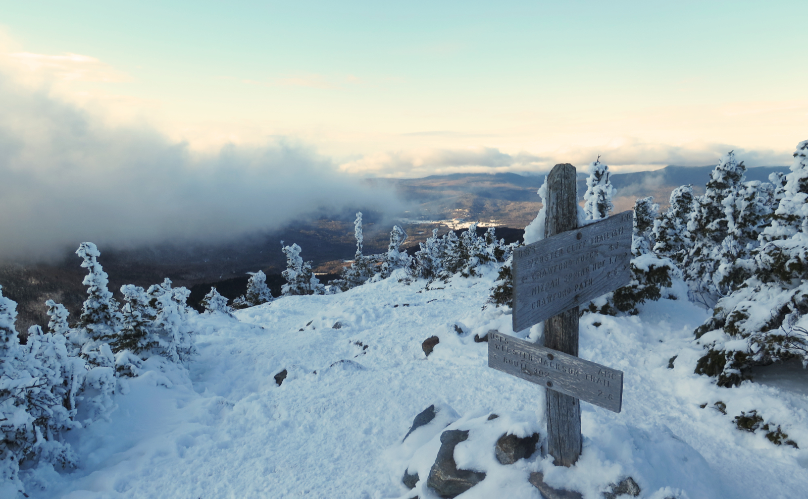
The next morning, after doing my usual stuff, I got moving and climbed up West Bond. I had every bit of anticipation in mind, tempered by the low hanging clouds overhead. I had already taken note that the morning didn’t feature an epic sunrise. It was good, and not rainy, but certainly not golden, let alone epic. The views were going to be attenuated. But the wind told me that so too were the bugs, and on that score, I was pretty happy. I had easy views of Owl’s Head, and could reliably see Guyot’s southern shoulder. Looking down into the valley below, the forest was lush and verdant. The wind was present, but comfortable. In short, it was peaceful.
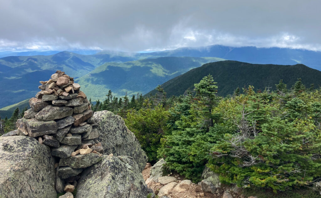
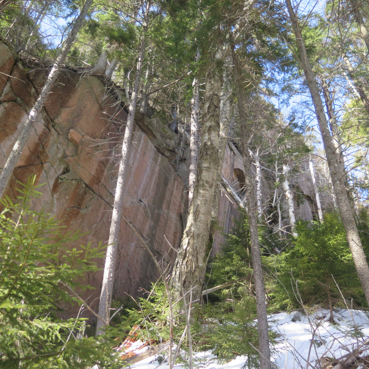
It was time to move on, so I made my way over to Bond, and reaching its summit, the clouds had risen a bit, expanding the views. Franconia Ridge was still hidden, but I could see the scars heading up Lincoln’s east flank. Then it was off to Bondcliff, and those blueberries. I crossed over the summit, retracing the steps I took only hours before. Not long later, I traded a rocky trail for softer dirt. The steepness eased, and once again, I was on JE Henry’s railroad.
What next?
I have another class coming up in autumn… again, mixed feelings. Summer was four weeks longer a semester, so I’m hopeful the workload won’t be as acute, and I can break away for a quick outing here and there. Time will tell.
For this one, though, it was a bit seat of the pants in terms of planning. The hiatus, though, made the experience more acute. It was a different expression of a hike, a different sensibility, and maybe that’s what I’ve been needing lately. When I was getting out weekly, at one point it felt almost like a chore. The pain this time had a different clarity, one that I’ll be unpacking for a few weeks to come.
As always, stay safe out there.
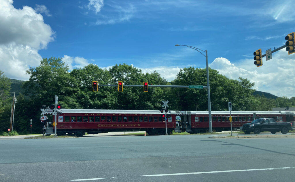
Nuts and Bolts: To Lincoln Woods, take exit 32 on 93. Head east on the Kancamagus Highway, about five miles out of town. Note the sign that mentions there’s no gas for 32 miles of the highway; five miles isn’t long, but it’s also a good proxy for the accompanying lack of cell signal. You should be self-sufficient.
Trailhead will be across the footbridge. Blazes are non-existent, but for the most part, the trail is self-apparent. Note there’s a sort-of switchback on Bondcliff Trail at what looks like a wash. On the way down, it’s easy to stay straight, because the way down has you going up for about 3-5 feet or so. (On the way up, the trail is apparent on the left.) On Mt Bond’s summit, to continue on to Guyot, you need to essentially make a hard left turn in order to go straight. In the dark, this isn’t very apparent, although there’s a small cairn just after the krummholz starts up again.
If you enjoy reading these posts, please subscribe — stay in the loop! Your email will only be used to alert you of new posts — typically 1-2 times per week. I will not use or share your email for any other purpose without your express permission. And feel free to share via social media using the buttons below.
Find me in the mountains, on this blog, or on (the artist formerly known as…) Twitter: @Protean_Hiker https://twitter.com/Protean_Hiker/
Help support this blog! Visit www.photos.proteanwanderer.com to buy some of my signature images.

3 thoughts on “Trip Report: Getting out to Guyot”
That weird switchback on Bondcliff trail completely confused my sister and I when we did the Z-Bonds traverse last year. A trail runner passed us and went completely the wrong way, fortunately she was still in earshot when we figured out where the trail was.
I remember seeing someone making that same mistake a couple years back. No question, this was one of those people where you wonder if this is where they really belong.
Glad you got out, with [some] blue sky, at least. Tough weather summer. I’ve been trying to finish the 52 WAV, and Mother Nature has been stingy with the idyllic blue sky days for some mountains that really deserve a hike on such a day, adding in work and other variables. It’s akin to hitting the lottery sometimes for the perfect mix of availability and good weather. Happy to see your posts again, always a good read! Good luck with the juggling act. Thanks for sharing.