Mount Passaconaway (4043). Waterville, NH. 2022-08-22 (Saturday.)
Via Wonalancet Range Trail, Walden Trail, Square Ledge Trail, Old Mast Road. Approx 12.5 miles round-trip. Approx 3,400 feet elevation gain.
84 dF at the trailhead, 70 dF at the summit. RH around 50%. Non-existent winds — not even a breeze. Mostly sunny throughout.
Trailhead: 1200. Passaconaway summit: 1600. Car: 2000.
The best of life is that which… what was the question again?
Time goes by, and as it does, things get relentlessly added to the to-do list. One thing I’d love to figure out is how to quantify the difficulty of a trail, taking into account steepness, length, roughness, and whatever else makes sense. But until that day, never let it be said that Passaconaway gives up the goods willingly, per my own meandering experiences on that mountain. Even in the 1931 AMC guide, they talk about the mountain’s trails rising steeply. And that, in a nutshell, is the mountain.
Except not, obviously. There’s a whole lot more. I’d had a ho-hum attitude toward this one for a couple years, mostly because of how, when I first did the 48, I tackled this one, and Whiteface, in winter, on a day when it was actively snowing out, getting off trail in the full-on dark. Ooof. As I recall, it was inside my first ten hikes, so I was ready to be impressioned. Things like “wow, I got whipped” occupied my mind for a long time after that outing.
But sometimes silver linings get wrapped in one heck of a cloud.
I look back to who I was around the end of 2019. The decision to hike the AT had already been made. I was finalizing my gear choices. Last thing on the list was to talk to my boss about time off from work, and then to go buy a plane ticket. I had no idea that also on that list was “break your ankle and blow the whole thing.” And of course nature abhors a vacuum: stuff filled the void, so the earliest I’ll likely get to Springer Mountain is after the next presidential election. Every springtime, my feet itch.
During rehab, I made a pretty big discovery. I’m still convinced most people haven’t heard of this. There are trails that not only aren’t the trade routes up the 48, but some of them don’t even go near the summits! And so, seeking diversion from staring at the four walls, my PT guy green-lighted me to “gently” get outside on flatter terrain. Push a little, but not too hard. Flatter terrain fit the bill.
Square Ledge is far from being flat, but it wasn’t exactly hard. Some modest exertion, a lot of care to not get hurt. But on a glorious day, I gazed out at the mighty hulk of Passaconaway, and saw the mountain as I’d never seen it before. It was lyrically beautiful. Helen of Troy has nothing on that mountain. In that moment, it went from “crazy hard” to something far more sublime, something new.
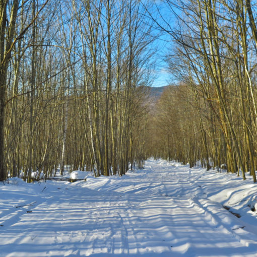
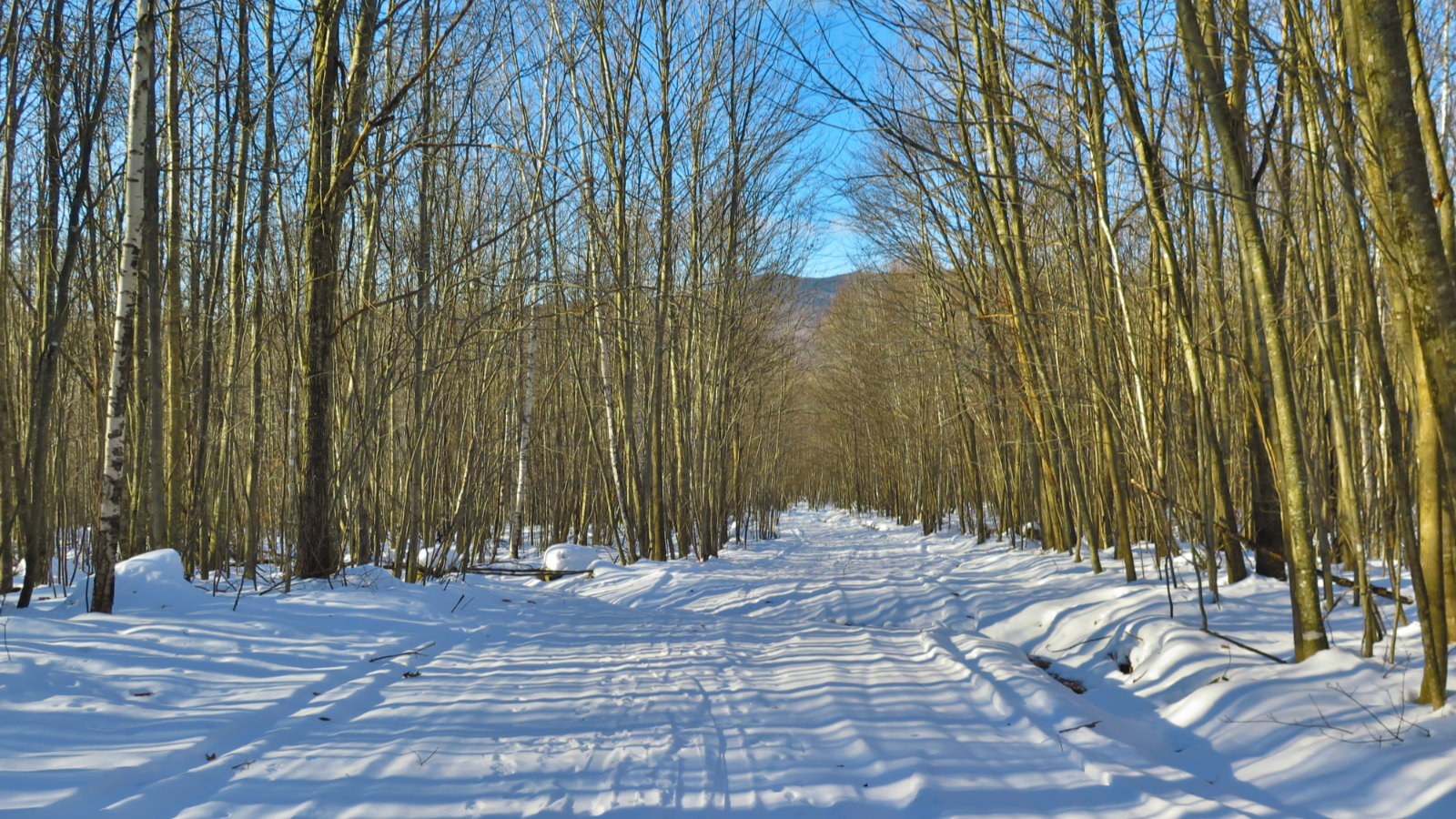
Green roads lead to green tunnels.
The area around Sandwich has a wonderful grounding effect for me, as I’m sure it has for many others. People are naturally drawn to the places where the water meets the land, and I’m no exception. Driving past Squam Lake, over winding roads through the trees. Crossing into the farming areas, vales between the mountains. Calm restored. I drove in slow, no rush, no care to get there at a certain time. Most important was enjoying the light filtering through the trees. Verdant hues complimented the warm air, occasional dots of blue sky overhead. The heady fragrance of possibility wafted through the air.
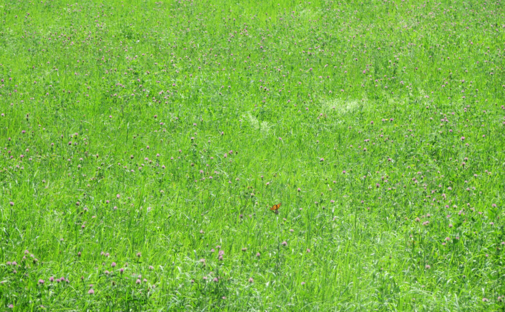
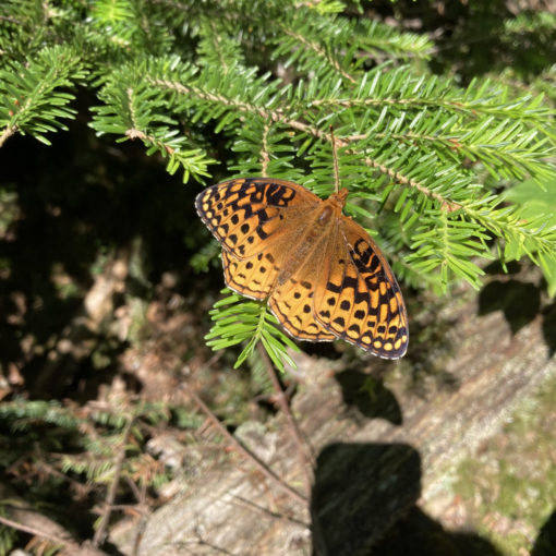
Down the bumpy dirt road through Wonalancet to Ferncroft I stayed in the magical moment. There were butterflies in the meadow, navigated by unseen hands on their various tillers, blown here, there, anywhere on invisible currents. In life, you’re never given enough of these magical moments; always driven toward a goal, never given enough time to explore. Still, at the end of the road, it was time to hit the trail, time to get to the meat and potatoes of why I came here. As much as people are drawn to the water, so too are people drawn to the mountains.
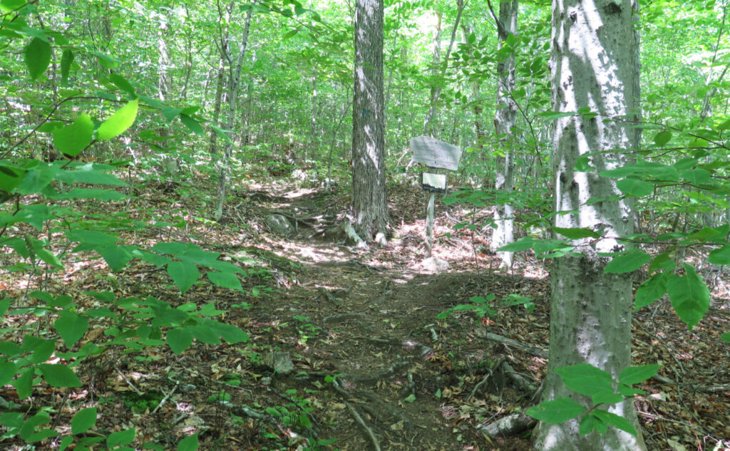
Before long, the trail pitched upward very quickly.
To be true, Passaconaway lies in a wondrous area, that is full to bursting with truth and beauty. On a bluebird day, all is right with the world. Even in lesser weather, the land still works its magic well enough. But the reality of getting to the summit is tough work. Lots and lots of tough work. Granted, the weather wasn’t cool, but I still ran through about 2 liters of water, and about a liter of electrolytes. My bones ached. The trails have a lot of Pointless Ups and Downs. The mountain doesn’t do easy very well. Stand on Hedgehog Mountain, look upon the mountain, and all will be plain to see. It rises swiftly to its summit, pulling no punches along the way. (For that matter, consider Potash as well.)
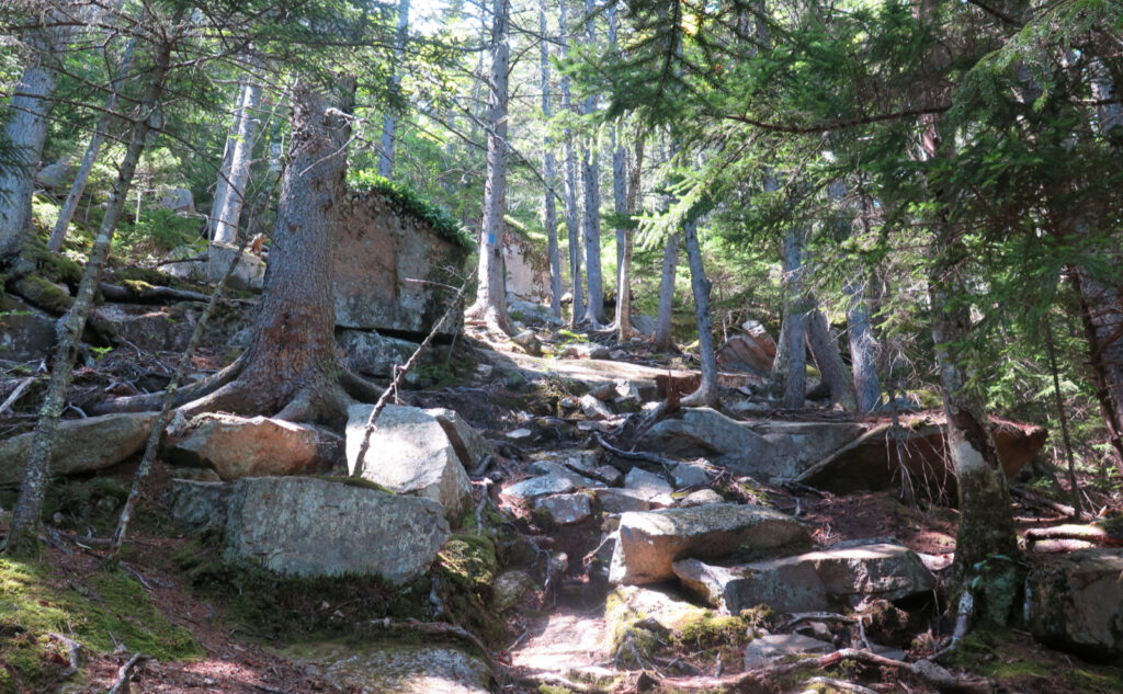
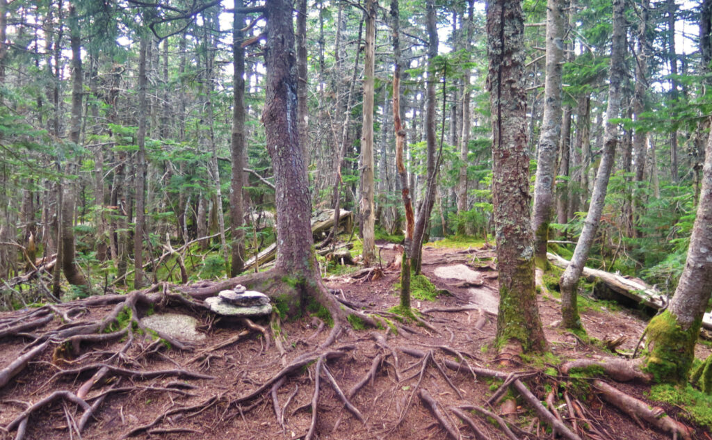
And so it was. I perspired a lot, as I clambered over a lot of rough, and frequently steep terrain. Indeed, as I write this, I had to go back to the AMC guide and check to see if I was remembering it wrong, or if it was really that hard. Words like “steep” and “rough” were indeed used a lot in the book. Occasionally, I used other words as I hiked, stumbling and bumbling over rocks and roots in no small measure. The trail extracts its pound of flesh long before you even approach the summit.
Sometimes you get to see what’s beyond the steep terrain.
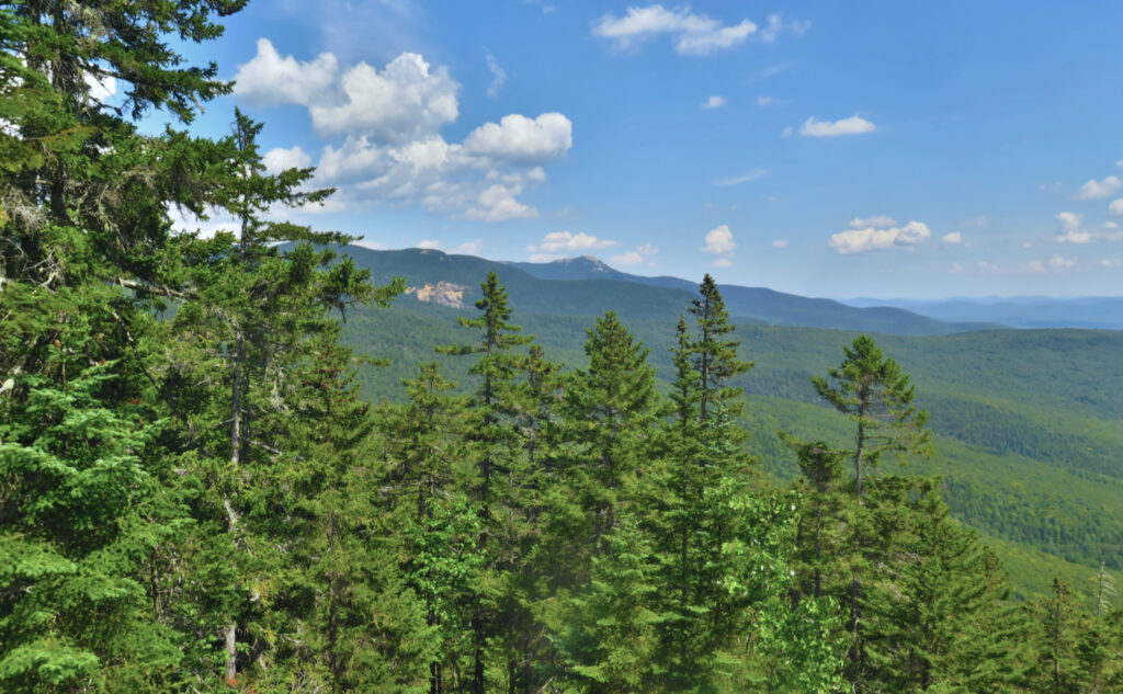
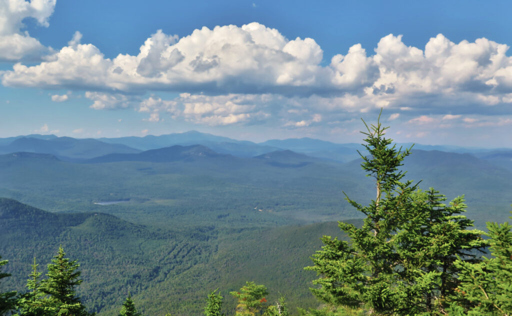
There will be a time when I’ve finished the grid, and when I’m done redlining. A time when lists won’t be on the front of my mind, and I can think about other things. One of the memories I have about this hike were the views. Maybe I’ve hit Passaconaway on the wrong days in the past — certainly when the clouds are low, when I’m not thinking of long views. Certainly not when standing on a summit that is wrapped in trees. But for all the steepness, going up via Wonalancet and Hubbard, I was treated to views I’d never known before. Gazing out from high above, I saw Winnepesaukee, and a sliver of Squam at times. I saw Shaw and Roberts. Places I’ve been, and places I’ve yet to visit.
I did step foot on the summit of Passaconaway, albeit briefly. To be fair, there’s not much to see there, but not far away is a spur to the summit’s view. Feeling exhaustion start to set in, I still wanted to see what lay down that trail, having never explored it on my previous outings. It’s not for the faint of heart: the trail is about a quarter mile long, and in that distance, drops precipitously, losing about 300 feet in the process. Make no mistake, climbing back up is a chore. Good thing the north-facing view is wide, making me wish I’d noticed this earlier. The juice is very much worth the squeeze, and the comparative difficulty of reaching that view seemed to keep the people at bay. I enjoyed the vista entirely unmolested by the other voices I heard nearer the summit.
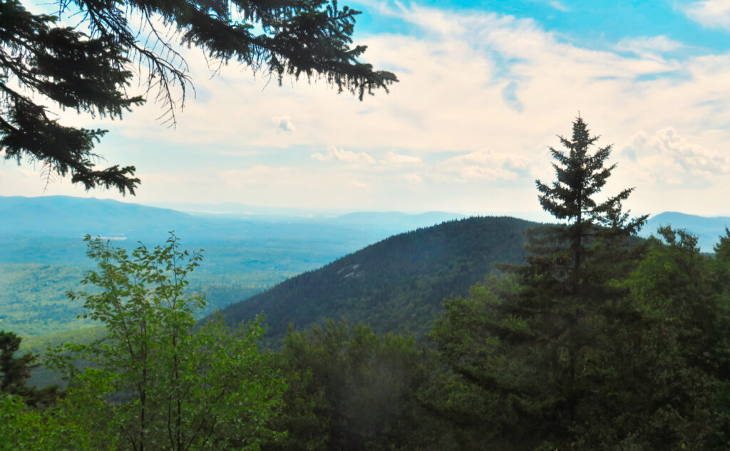
Of the other two summits, I can only quote Smith and Dickerman, when they say (of Whiteface) that when you start to go down more than you’ve gone up, you’ve probably passed the summit. Views from ledges on those two mountains were lovely, and I’d say this pair make their own destination for anyone uninterested in bagging Passaconaway. But as far as “where’s the top?” you’ll find just the trail, heading to the next mountain. A metaphor for what we all do, right? In the final tally, does the absence of a summit cairn or a sign really make a difference?
There is nothing worse than a quiet mind.
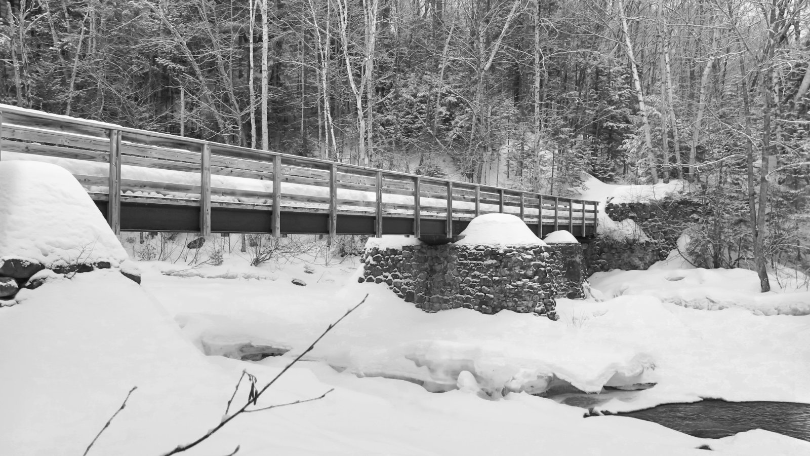
I got back to the car with the very last dregs of twilight. No kidding, any more time on the trail, and I’d have had to pull out my headlamp, which was something I was doggedly trying to avoid. There was some amount of cursing as I descended across the lumps and bumps of Old Mast Road — mostly straightforward, but certainly not a road that’s been paved with gold.
Since then, this essay has turned out to be one of the harder ones to write. There has been no shortage of long hours at work getting in the way, but also a lot of time spent sorting out my feelings about this outing. Passaconaway continues to amaze me, because there has been a long evolution of thought about the mountain. I can’t seem to hike this mountain without being affected by it.
When I did it the first time, along with Whiteface on a snowy day, I thought it was plain hard. More recently, it’s been hard, but satisfying. Seeing it from a distance, I get excited because of its sheer bulk and purity of form — a lot like seeing Garfield’s perfect cone (at least from most directions.) The approach by the lake continues to instill calm and serenity, even though I know that a tough ascent awaits. It’s a mountain that is indeed large, and so inevitably it contains multitudes. A perfectly formed mirror held up to life itself.
This time, there was a lot of roughness and pain, mostly because I took the long way to the top. It’s yet to be easy, yet to give up its goods without a struggle of some sort. But a few days later, with some distance from the aches and pains, it’s still satisfying. Does this sound contradictory? Very well then.
As always, stay safe out there.

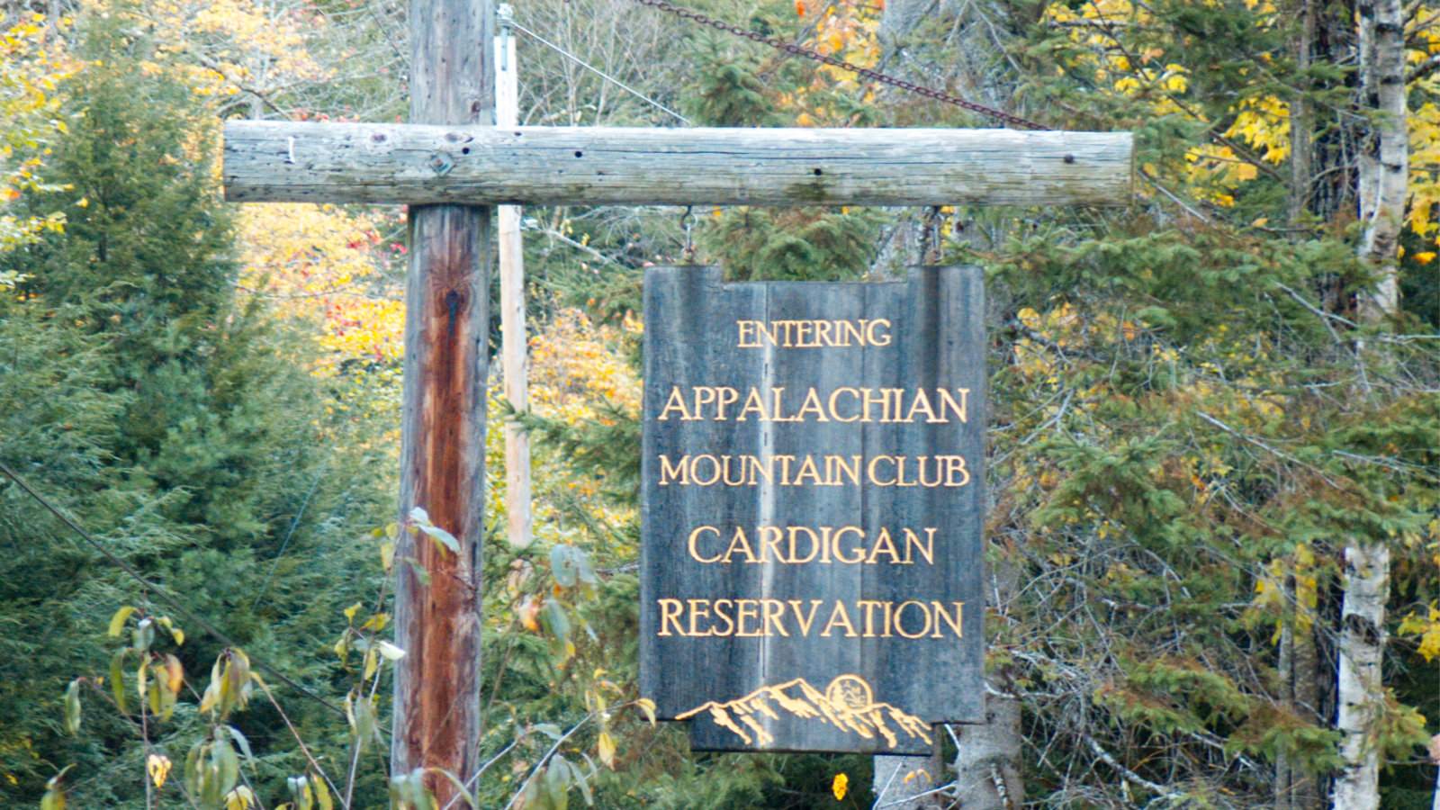
Nuts and Bolts: Short of it: get off 93 at exit 24 in Ashland. Make your way to route 113. Then to 113A. At Ferncroft Road, turn left onto the dirt road and park in the obvious spot. Don’t park where it says “No Parking.” Assume if you do so, your car will be towed. In all ways, be a good ambassador for the sport. If you pass a small New England white clapboard church, you’ve gone too far. You could probably just GPS “Ferncroft Road, Sandwich, NH” and let your digital brain do all the work. Your call.
Trailhead will be at the end of the parking area. You might see blazes, and honestly, I can’t recall any; mostly, they’re not terribly necessary. Trail junctions are pretty well signed, and if you have at least a paper map, you should do fine assuming you have decent map reading skills. You will enter the Sandwich Range Wilderness Area fairly quickly, but the trails are well maintained as of this writing. (Frankly, every time I’ve been on Passaconaway, the trails have been well maintained, thanks to the diligence of the WODC. Please consider tossing them a shekel or three.)
If you enjoy reading these posts, please subscribe — stay in the loop! Your email will only be used to alert you of new posts — typically 1-2 times per week. I will not use or share your email for any other purpose without your express permission. And feel free to share via social media using the buttons below.
Find me in the mountains, on this blog, or on Twitter: @Protean_Hiker
3 thoughts on “Trip Report: Pain and Serenity on Passaconaway. ”
“One thing I’d love to figure out is how to quantify the difficulty of a trail, taking into account steepness, length, roughness, and whatever else makes sense.” ——YES! Please do share if you come up with something, that would be handy!
Thanks for sharing your thoughts on Hibbard and Wonalancet. I was eyeballing them from Mt. Paugus a couple weeks back and pondered a visit to them. Appreciate your perspective. And I agree on Passaconaway, bulky, tough, but worth it!
I think the quantification of trails would have to be crowd-sourced. When I’m fresh, I crush the AMC book-times by a decent margin, while many others aspire to knock out 30 minute miles. It’s a bit like trying to define why lilies and orchids are so beautiful. I’m reminded of Robin Williams in “Dead Poets Society” when he destroyed the mathematical approach to defining the worth of a poem. So how to quantify the difficulty of a trail?
On Hibbard and Wonalancet: Just do it. Thank me later. The views are surprisingly superb, and you can get away with less effort than you imagined.