
Mt Carrigain (4,700 feet). Livermore, NH. 2020-11-12 (Thursday.)
Via Signal Ridge Trail. 10 miles round-trip. Approx 5 hours.
47 dF at the trailhead, 55 dF at the summit. Winds were negligible in the trees, about 10-15 knots at the summits in the exposed areas. Clouds throughout, although occasionally a single, intrepid sunbeam squeaked through the clouds.
A fast, yet strenuous trip to a classic view.
I’m not sure what to say about this one, at least in a way that hasn’t been said fairly recently. It was on my mind that I was on Carrigain just this past June, and again in the area when I hiked up Mt Nancy in August. Sure, that’s a hike in the area (and boots on the ground on at least the bottom part of Signal Ridge trail) in spring, summer, and autumn — by all rights, I should probably finish the tetrad by hiking it again this winter. Stay tuned. At the same time, though, how do you add to that in a way that doesn’t seem repetitive? Does it matter?
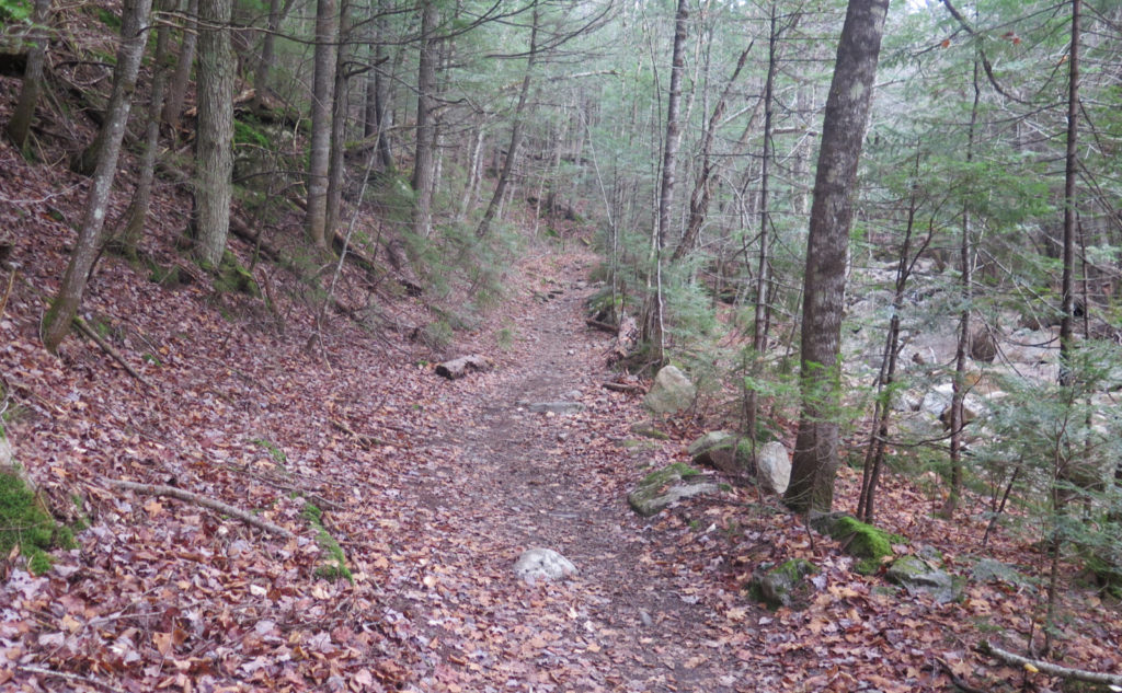
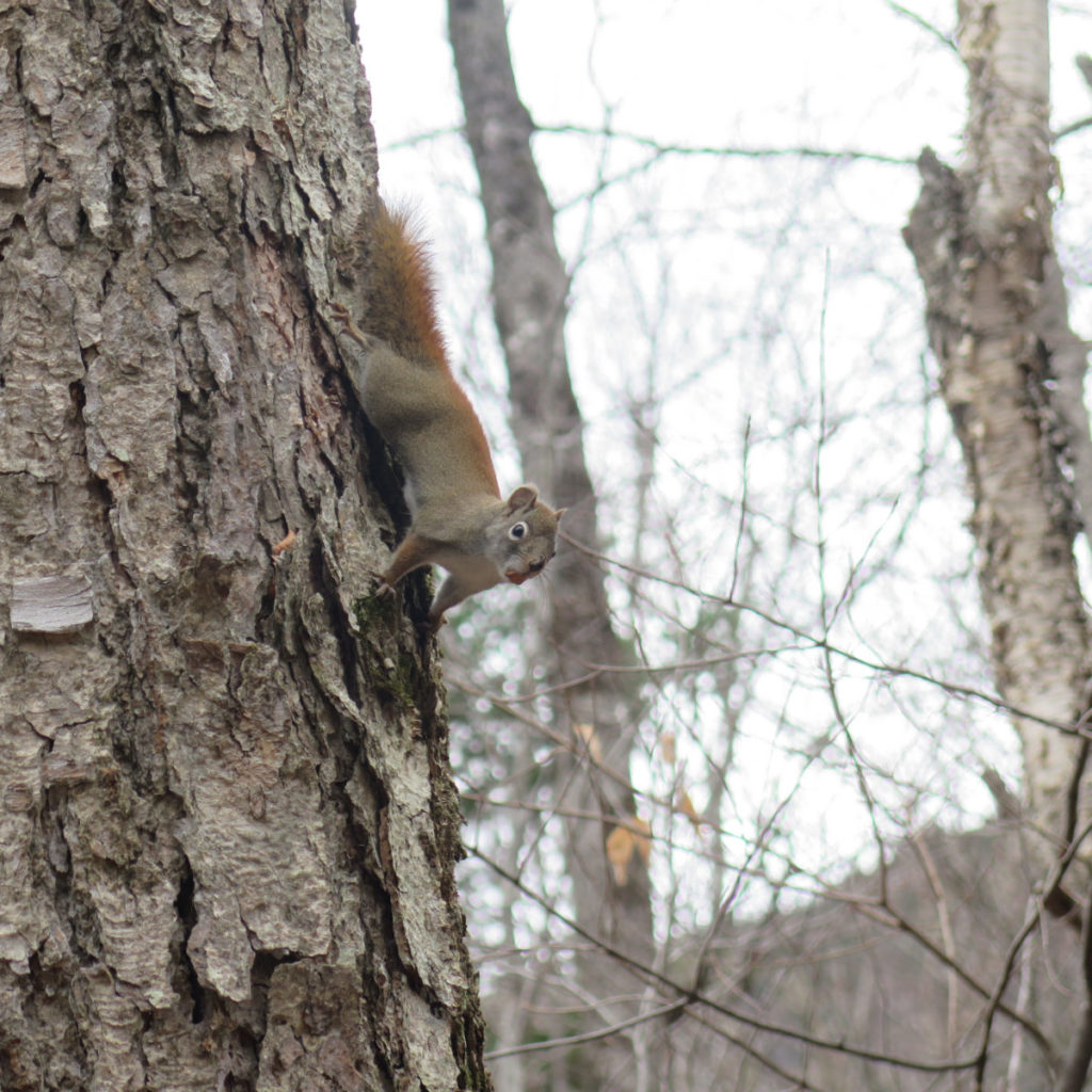
I came out of the gate running. Starting out at a bit after quarter after nine, I made great time on the flat sections — perhaps 20-25 minutes per mile. And on that bit, such a pace is easy, because you’re running along the roadbeds that once serviced the old fire warden’s cabin. The woods were fairly open, and there was Whiteface Brook to keep me company.
And hey… about those fire roads. Don’t forget that the area had a lot of deep ties to the logging barons, and in the area of the now defunct town of Livermore, there was a diatomaceous earth mining operation. Even just driving on Sawyer River Road, you can see a lot of evidence of the people who plied these lands long ago. Decrepit foundations, cellar holes… there’s a lot of history in them thar hills. Wow!
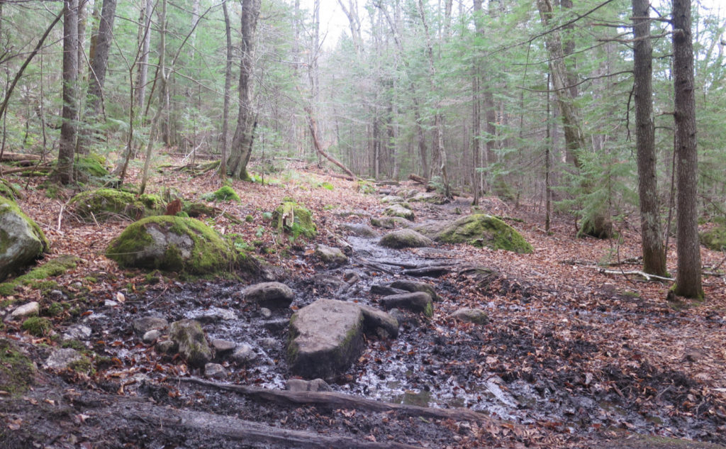
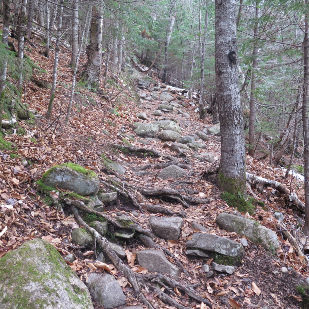
At the bifurcation, I pressed on, crossing the brook quickly and without much fuss. And shortly after that, the trail pitched upward, and eventually became quite steep and relentless. I was crushing miles, and so dug deep and persevered. Did I mention the trail gets steep and rocky? (And on that, just thinking that the fire warden would make this trek on the regular? Yikes!)
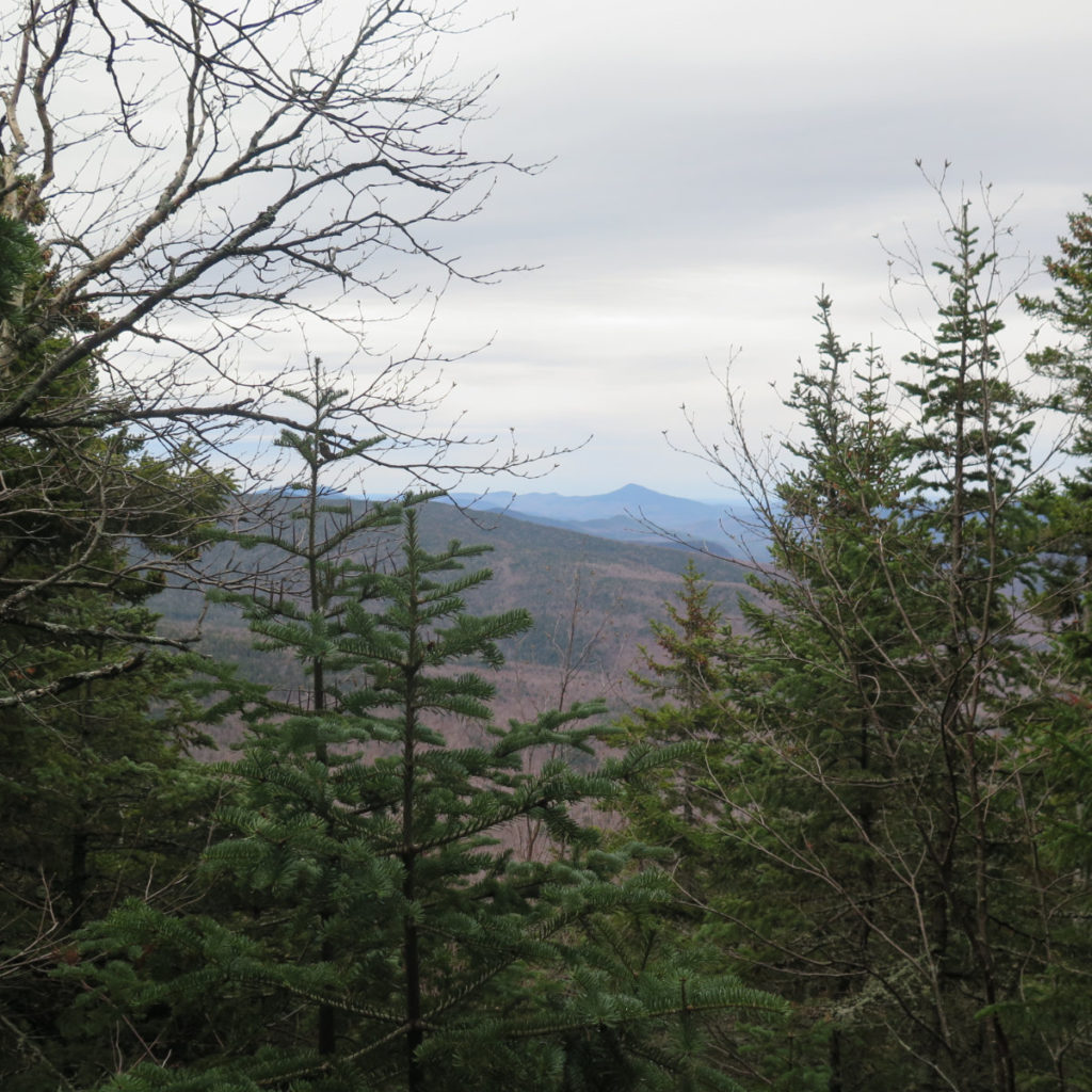
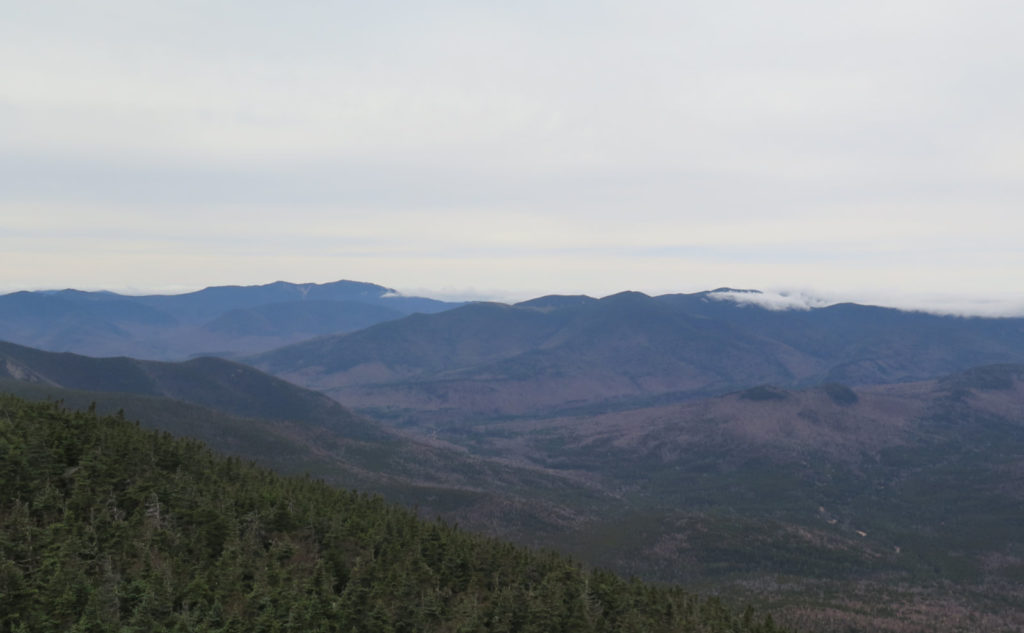
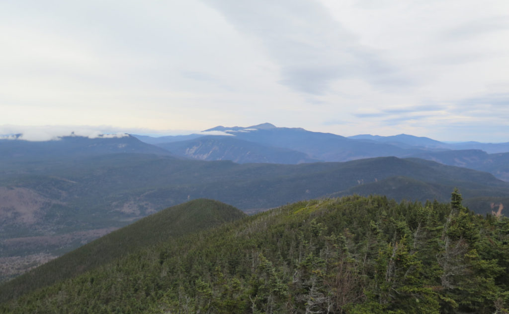
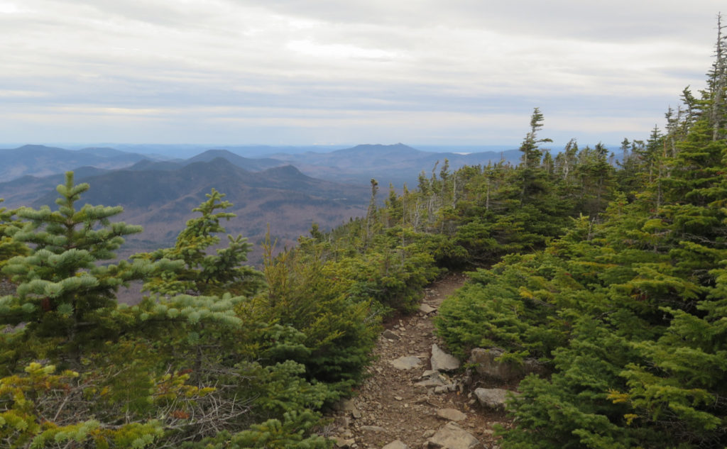
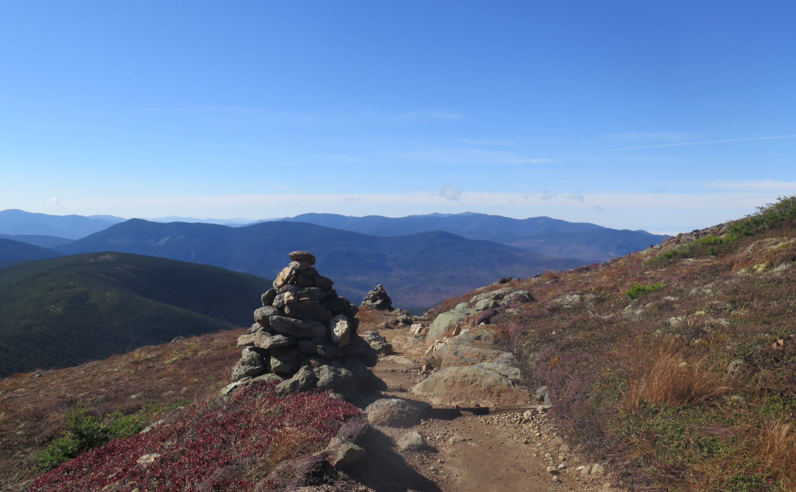
Finally, the grades eased remarkably, and then the first of two lyrically beautiful views. Today, mid-high level clouds attenuated the views. I could see “all around”, but I’m not convinced it was a serious, three-state view. Chocorua and Washington, however, were on full-on display. So if nothing else, I had those two stately peaks, which was very nice indeed.
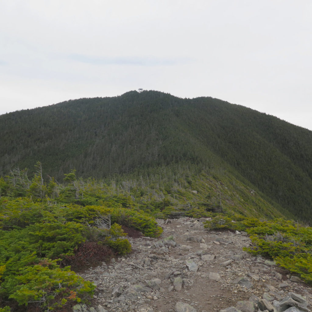
I pressed onward, crossing Signal Ridge itself. Getting out of my car, I was thinking about the fact that it’s been some variation of cloudy, whenever I’ve been up here, more often than not. Despite the Higher Summits Forecast saying the views would be clear, I was expecting the ridge to be washed with clouds. And yet, that’s not what I got. Imperfect views, but I did get a lot more than just my boots on the ground.
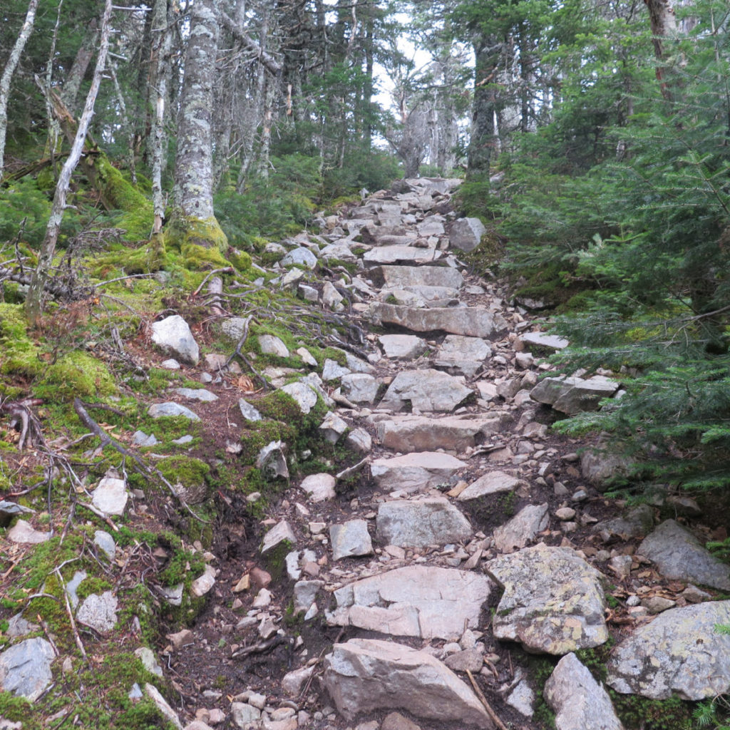
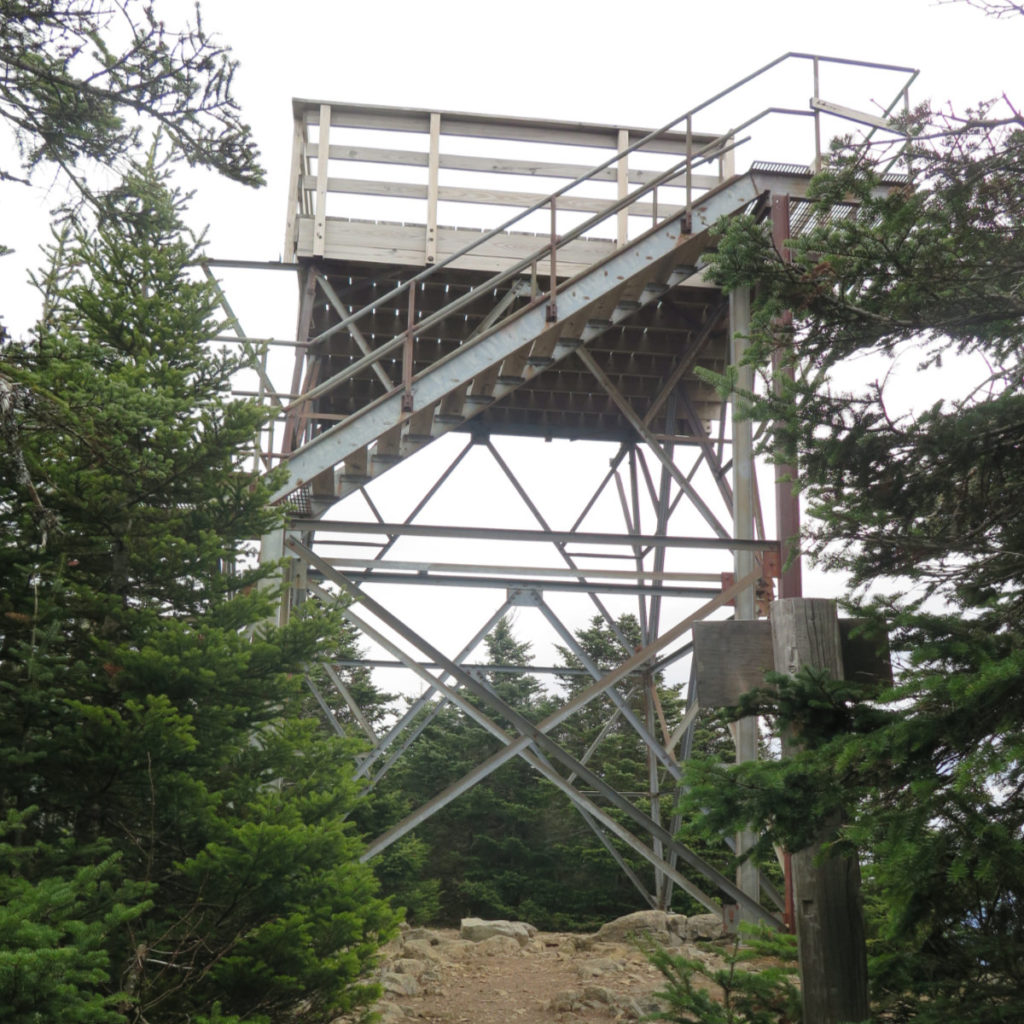
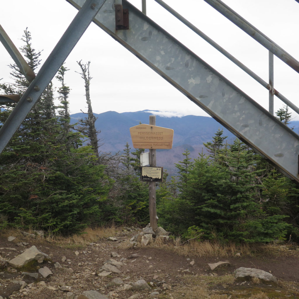
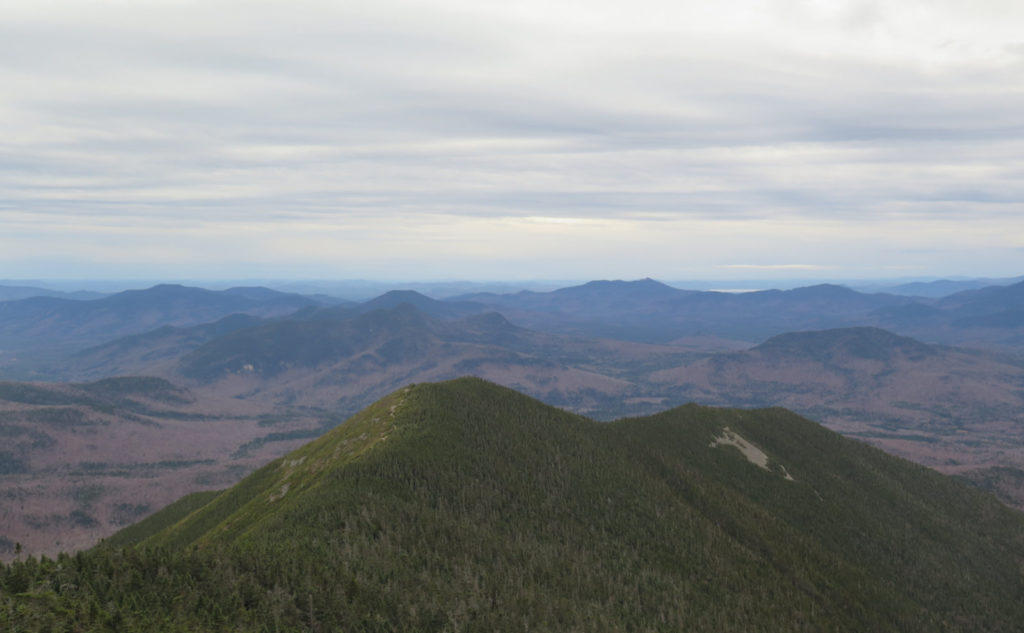
At last, the familiar stone steps leading up to the tower. And its galvanized steel structure, reaching to the sky. I went over to the trailhead sign and gazed out over the Pemigewasset Wilderness, thinking back to this summer, when I hiked out by Stillwater Junction — ah… that was a blissful afternoon, and I can still feel the warmth of the sunbeams etching the air, all the way down to the forest floor.
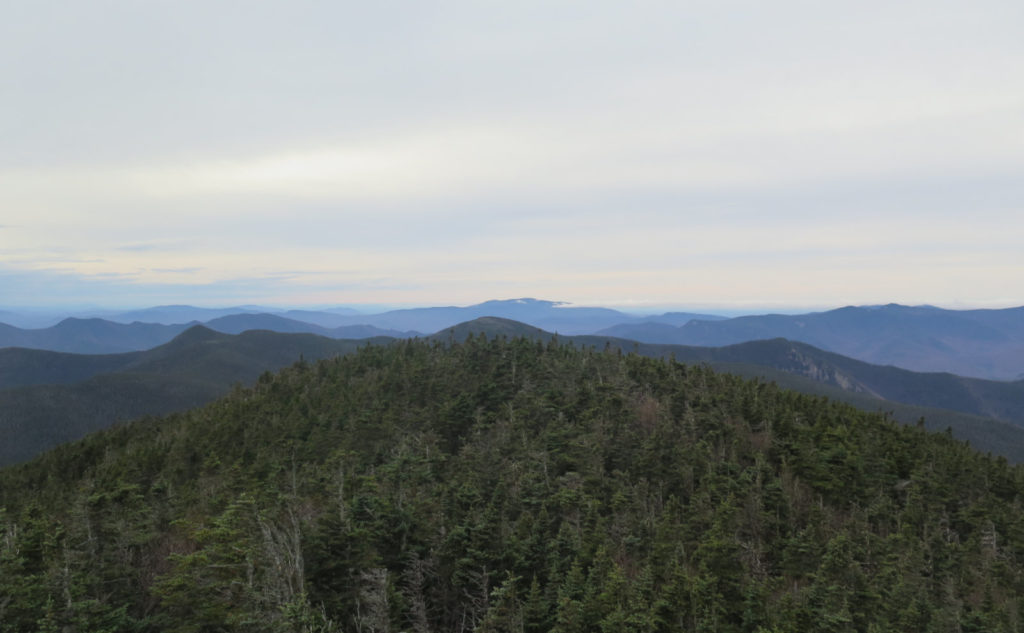
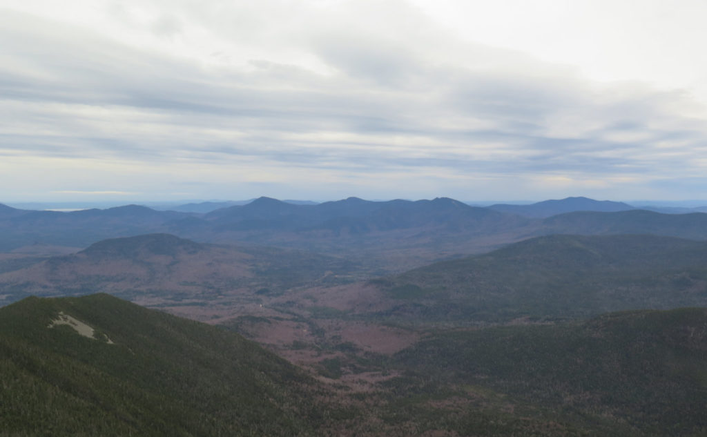
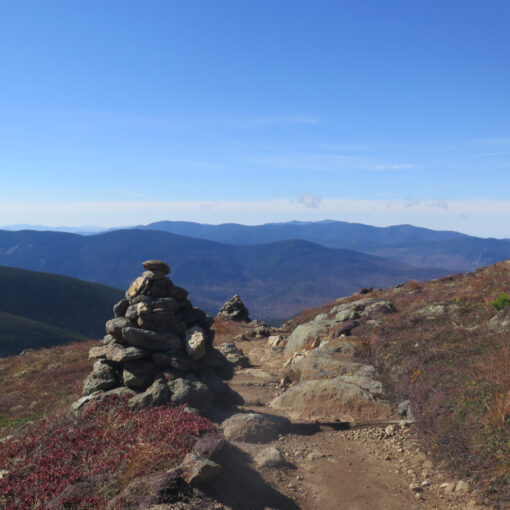
On the tower, I looked around. The wind was certainly a factor today, so I kept it brief. But I still spied Washington, Wildcat Ridge, the Bonds, Moosilauke and Franconia Ridge (the Kinsmans were cloaked in clouds), Passaconaway, Whiteface, and Chocorua. There was a lot of isolated low-lying clouds everywhere, so the view was far from perfect, but it was certainly acceptable. I could even see a tiny speck that may have been Mt Monadnock.
Beyond that? I might have seen a pimple that could have been Killington in Vermont, and maybe something nearby in Maine, but nothing where you’d honest to goodness say it was a curve-of-the-earth day. And yet, I could see a lot of stuff, so that was good. But with the winds, I decided to head back down to the car.
It’s not like I wasn’t having a good time, so there was no feeling of a missed opportunity with the limited visibility. I’ve still got several more hikes up this mountain for my grid, including at least 2-3 more in the summertime months. (And for those, it’s notable that there is sanctioned camping located just off the summit. On a clear night, that tower offers more views than just of the nearby mountains.) And not the least, on the way down, I got to meet two very lovely pups, and their owners. The trail is more than just the mountain, right?
(Also… for some reason, lately, it seems that everyone working on their 48 list is on #18. I did meet a guy today that was on… wait for it… #19. What’s up with that?)
Today’s hike was as much about punching down the entry on the Autumn list, to be fair. The wind up top wasn’t helping anything. When you start getting cold, sticking around is the last thing on your mind. But it was still a good outing, and if nothing else, it’s further familiarity, so when I come back next time, I miss out on seeing that many fewer things. The mountain is starting to take on that aura of comfortable familiarity, and that’s not at all a bad thing.
As always, stay safe out there.
Never let it be said that this trail doesn’t give up the goods.
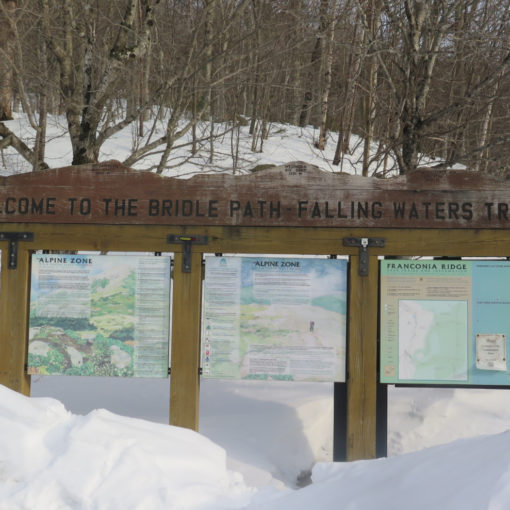
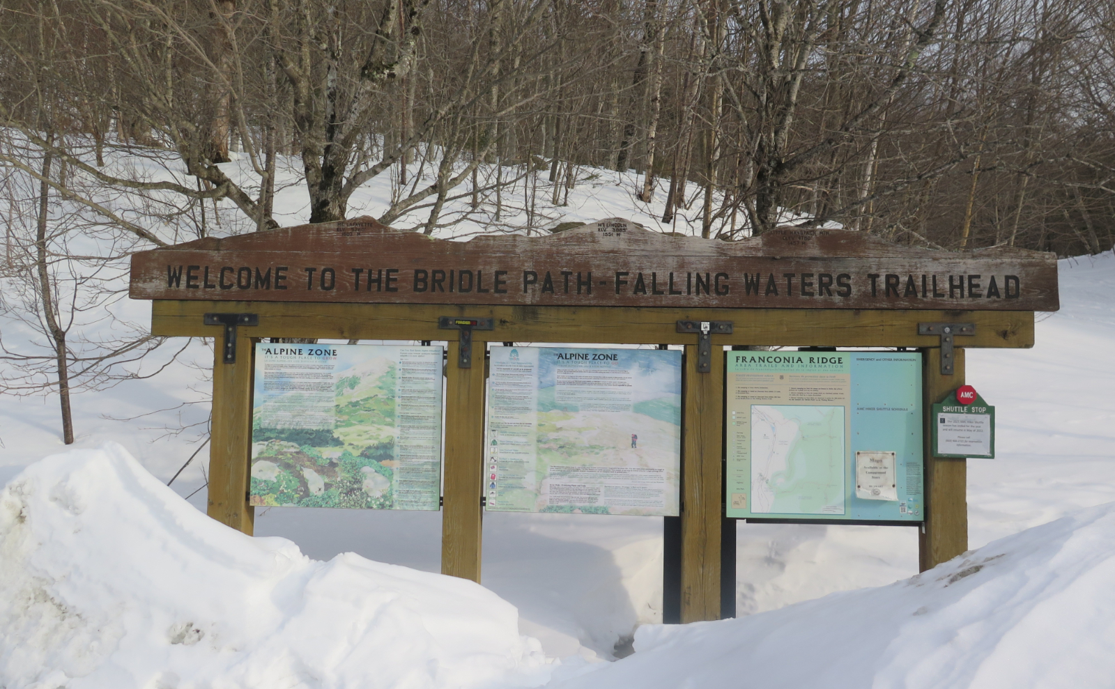
Nuts and Bolts: Take 302, and continue south past the AMC Highland Center. A few minutes later, and you’ll get to Sawyer River Road — by now, you’ll have passed the Willey House. Turn onto Sawyer River Road (gate is still open as of this writing) and drive for about 5 minutes. Parking area is opposite the trailhead, across a small bridge over Whitehead Brook.
Trailhead will be behind the obvious sign. Note that the kiosk is across the street, near the parking area. Blazes are yellow, but very few in number. Note that at the bifurcation of the trail, the correct route is to the right — you shouldn’t climb over a fallen tree trunk before you ford a shallow brook. That said, if you do leap over that tree trunk, just follow your nose, and you’ll be back on the trail in a few minutes. Pretty much the rest of the trail is self evident for the most part.

2 thoughts on “Trip Report: Crushing Carrigain”