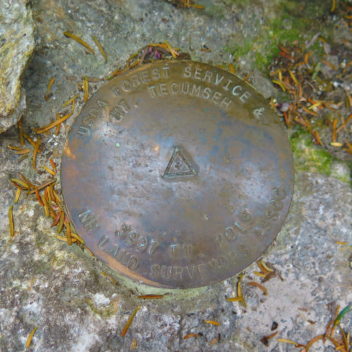
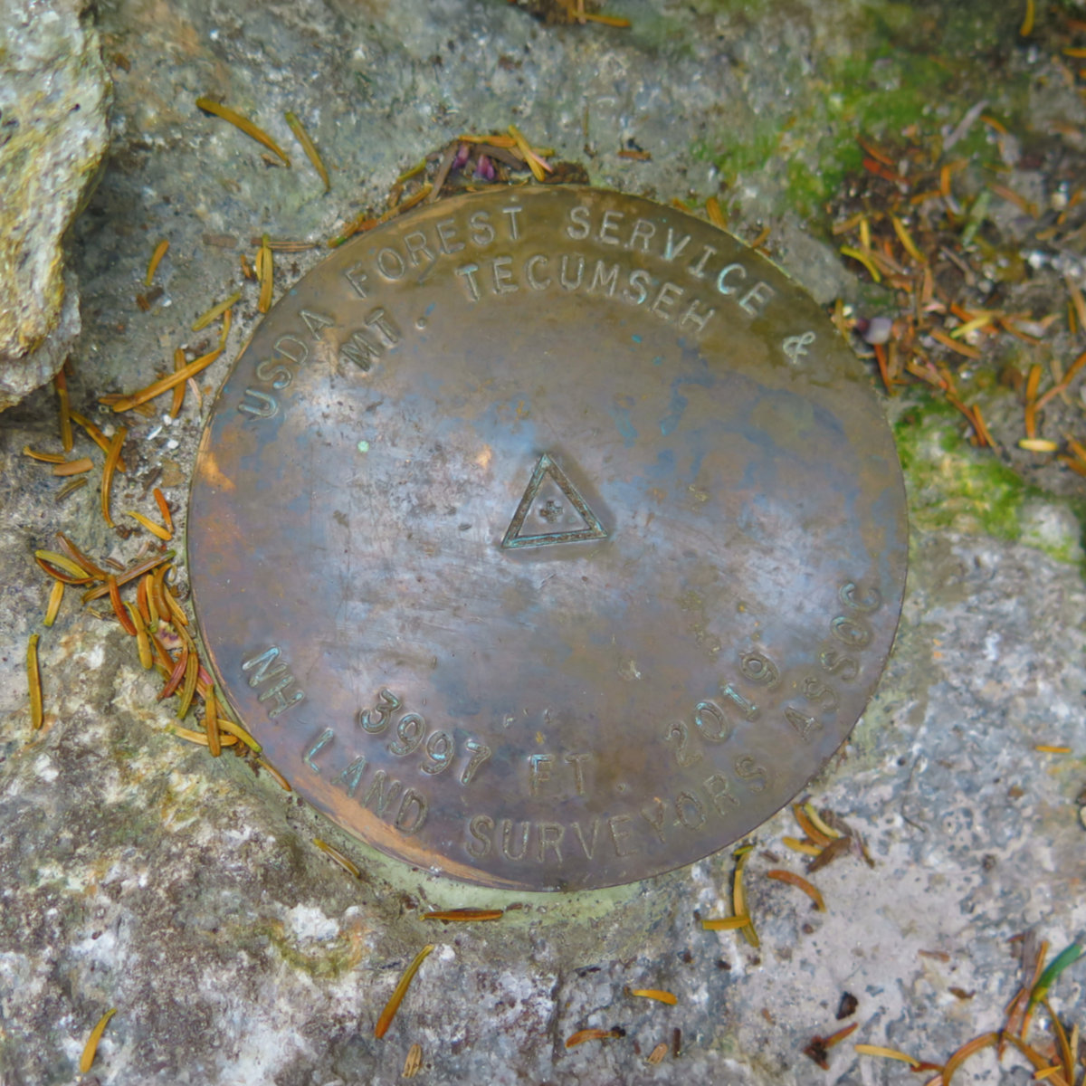
Mt Nancy (3,926 feet). Livermore, NH. 2020-08-26 (Wednesday.)
Via Nancy Pond Trail, Mt Nancy herd path, Carrigain Notch Trail. 18 miles. (Does not include a road-walk back to the car.)
60 dF at the trailhead, and throughout the day. Winds were noticeable in the trees, about 10-15 knots at the summits in the exposed areas. This was a day that, even though it was warm, the wind was oddly a factor most of the day. Mostly sunny throughout. Very clement, although it had the ring of an autumn day, without the bright colored foliage.
Trailhead: 1130. Nancy Cascades: 12:50. Nancy Pond: 1340. Norcross Pond: 1400. Nancy Summit: 1445. Carrigain Notch junction: 1630. Stillwater Junction: 1700. Carrigain Notch Height of Land 1800.Signal Ridge junction: 1845. Signal Ridge trailhead: 1920. Car: 2100.
Solitude at Stillwater? A Certainty!
If things had gone to plan, I’d have been writing about a day spent on Jefferson. But of course, it’s a question of “weather or not”, and there was weather, so it became a case of “not.” Specifically, the Observatory was calling for 50-60 MPH winds, gusting into the 80s. It just didn’t seem to be the smart money. I was bummed, because I was really looking forward to hiking Castle Ridge and Ravine.
But at some point while mulling over other options, I remembered the mad hikes I was enjoying this springtime, in the “flat” areas around the eastern end of the Kancamagus Highway. And then I remembered looking at the bushwhack up Mt Nancy and being utterly enticed by that. I could bag a peak on the 100 Highest list, finish off the Carrigain Notch trail, and bag Nancy Brook trail for my redline. That’s productivity!
Driving in, a pleasant trip along the Kancamagus, onto Bear Notch road.
I could have come into the trailhead quicker. Thinking back, that might have made for a little more light at the end of the trip, and that might have changed the shape of my overall route. The plans were to hike in and out via Nancy Pond trail, extending it out to Stillwater Junction, so I could knock off the last mile or so of Carrigain Notch trail that I’d missed on my earlier trip up that mountain. But it had been some time since I’d been out Bear Notch road, and I couldn’t give up the chance. Strange, but I like the scenery out there.
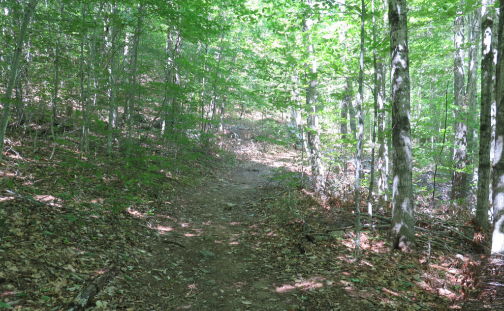
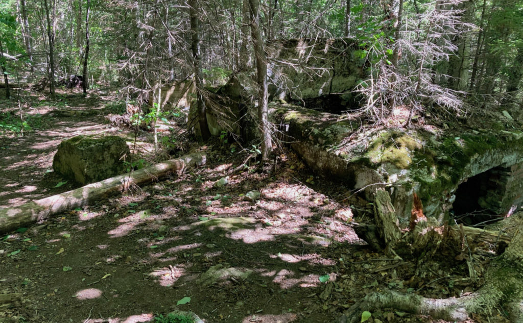
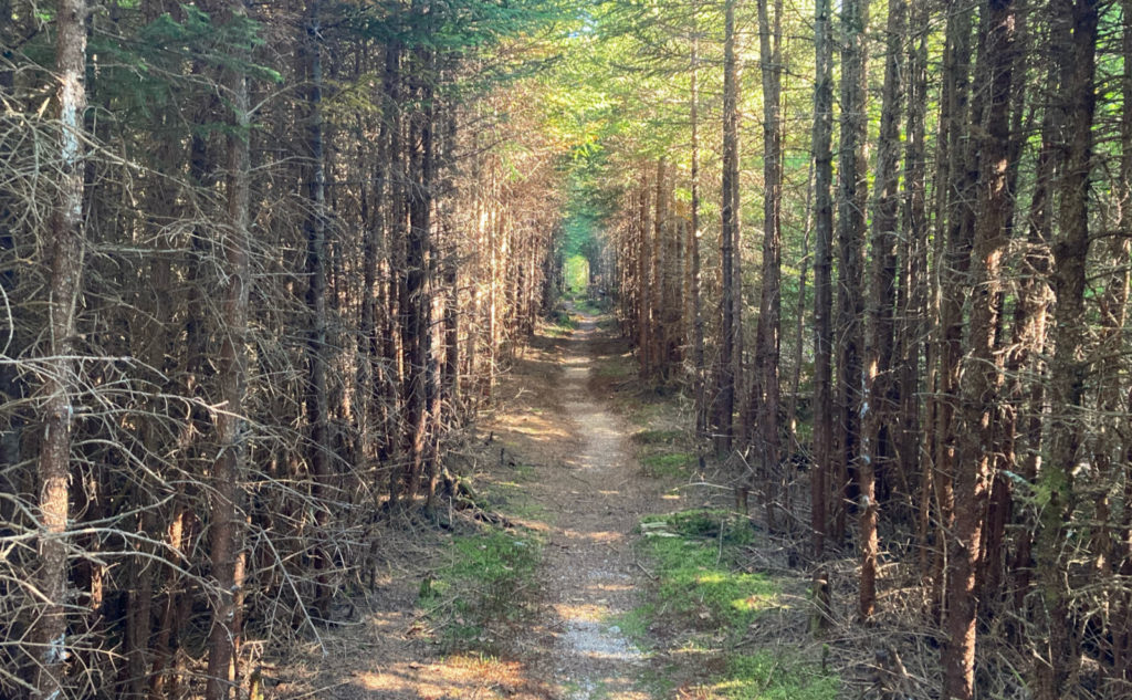
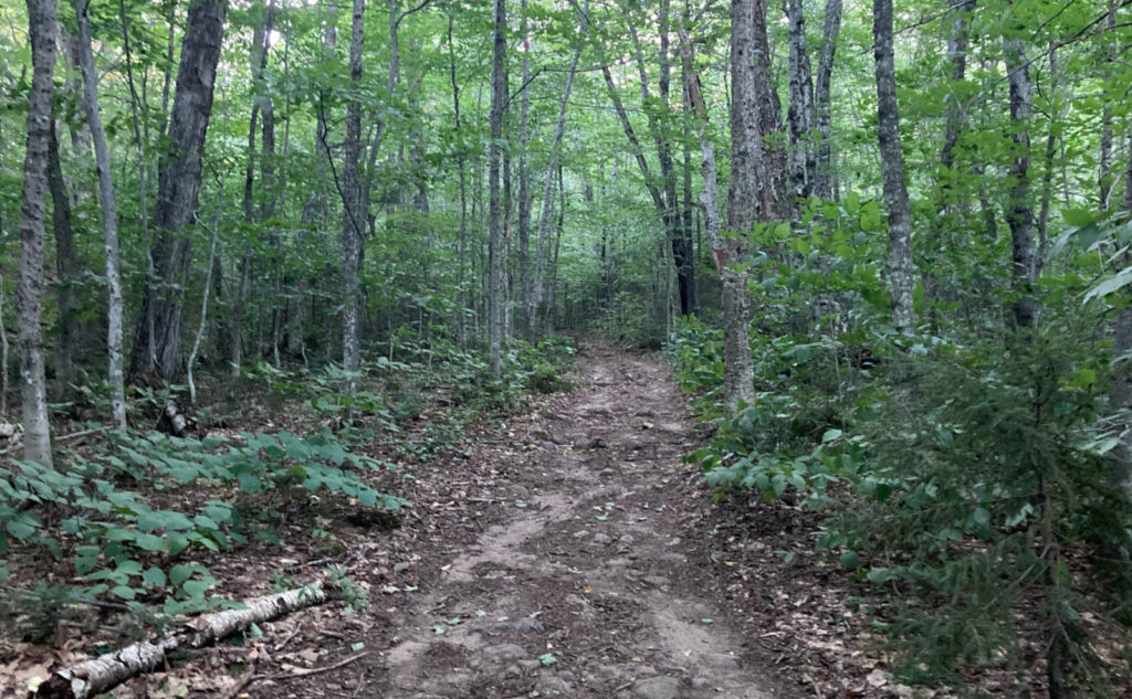
Mine was the fourth car at the trailhead, and that got me excited. I’d see people, but they’d be few in number. I’d have some alone time. As it turned out, I think I saw about 7-8 people, and they were all nice to have met. No dogs, though, which was a bummer. The trail started out smooth and flat, and I made good time on an easy upward grade. I passed the remains of Lucy Mill, observing the forest reclaiming that spot of land. Like so many other signs of the past, this will be gone from sight at some point, until some archaeologist in the distant future rediscovers it.
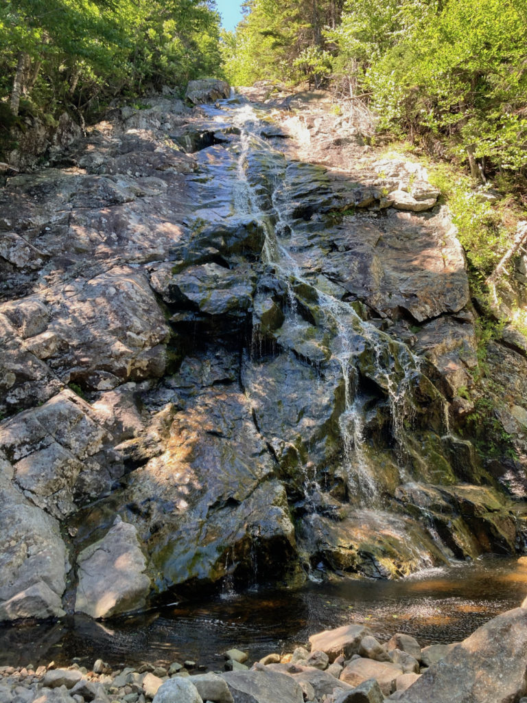
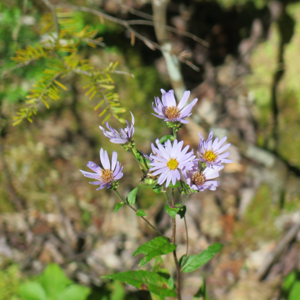
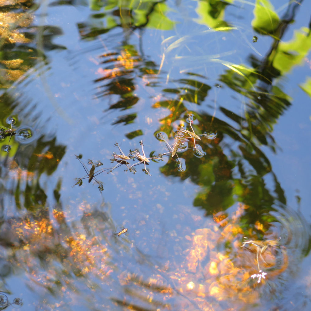
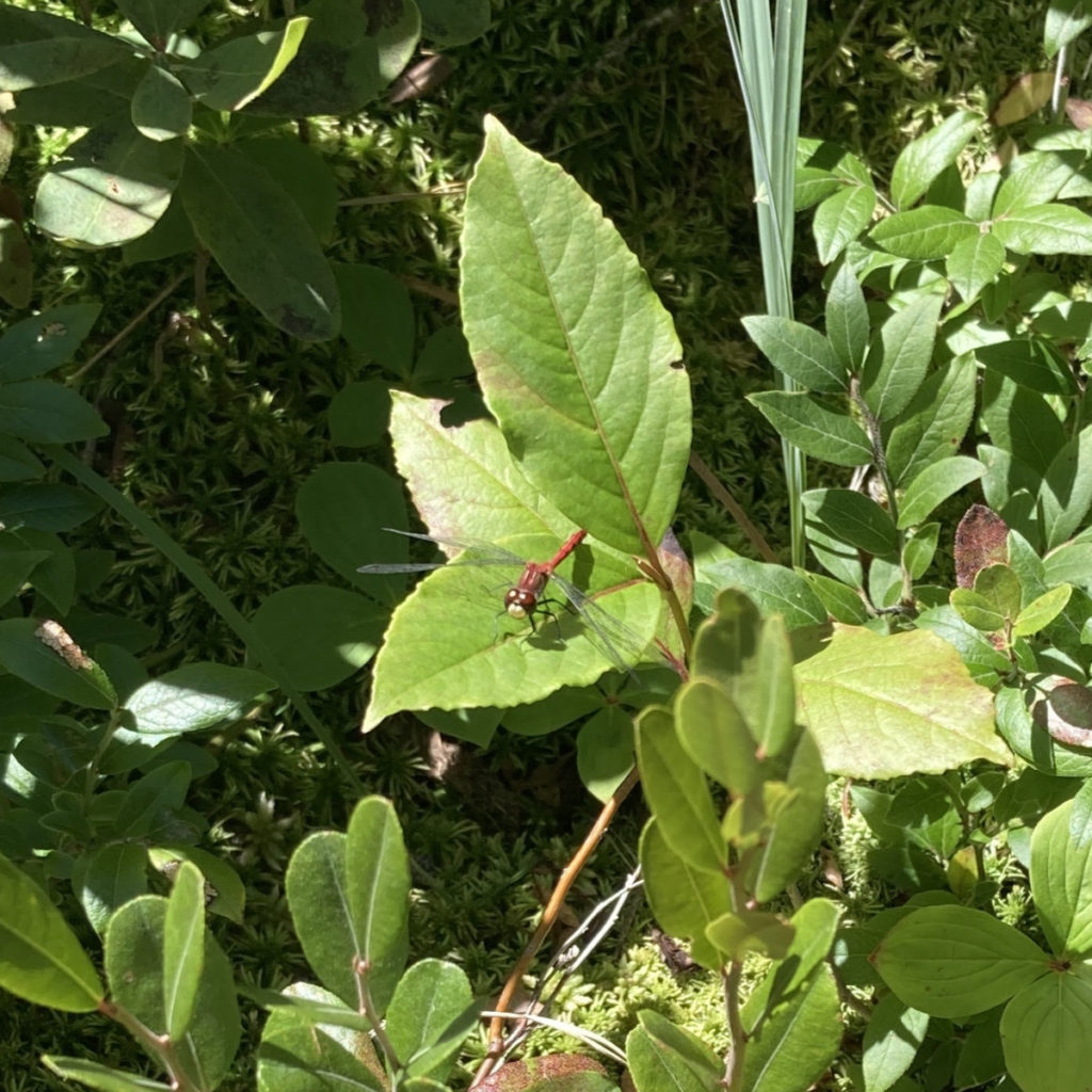
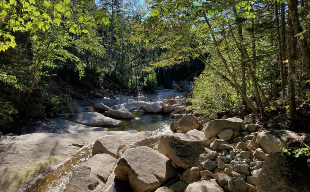
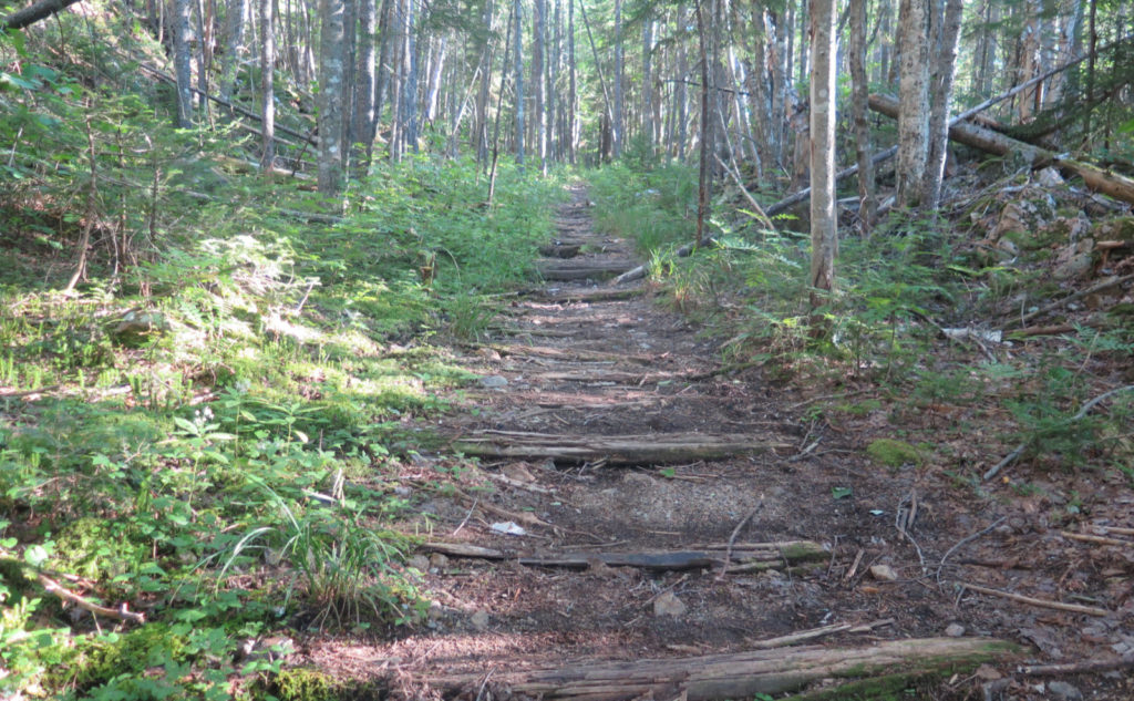
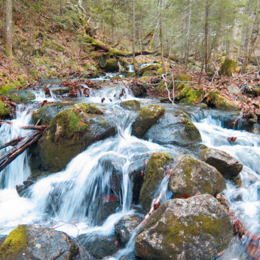
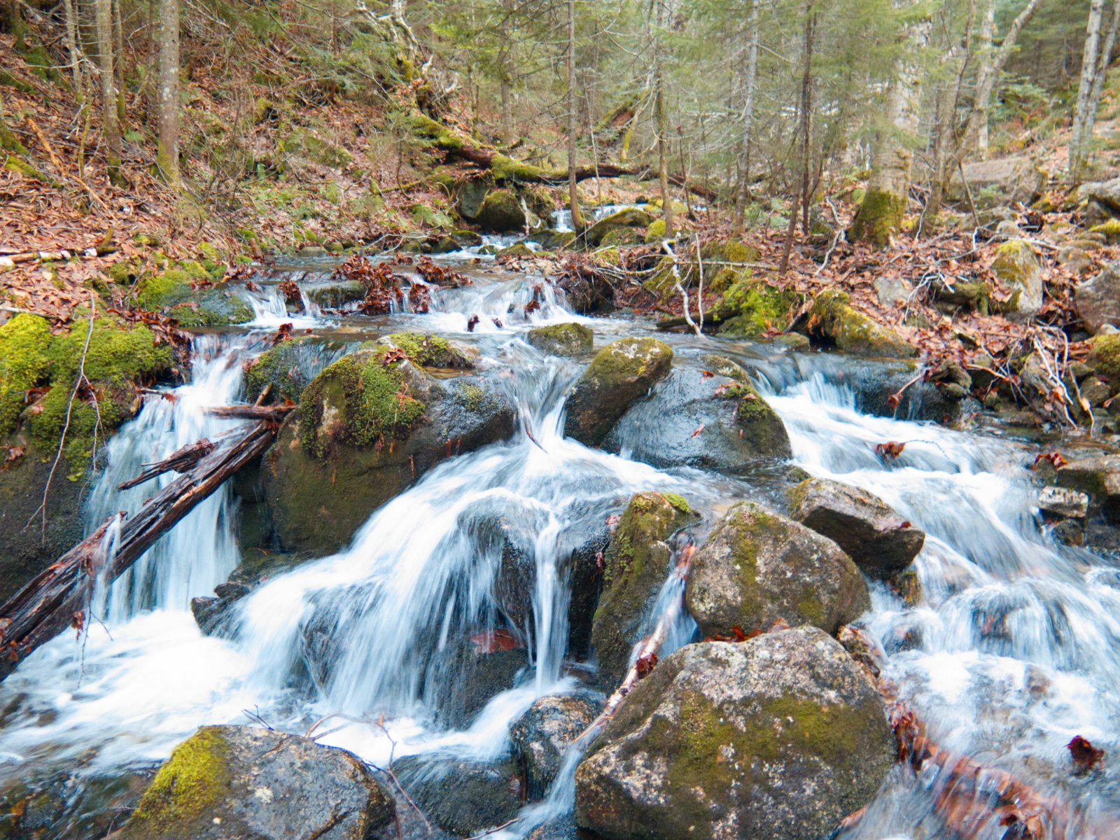
Arriving at the cascades, I was gobsmacked. This isn’t your run of the mill cascade, that you see just about everywhere. No, this stretches upward. Climbing by its side was no easy trick. The way is very steep, and there was much clambering up rocks. But all the while, the prize was very nearby; knowing that I’d be at the top of this sight kept me going. Unfortunately, there wasn’t much of a view from the top, with trees everywhere. But heading over to the pond, I crossed over bog bridges a’plenty. Steve Smith’s blog notes that about 10 years ago, about 120 sections in total were installed on the trail, and it sure felt like it. It’s that part of the season when things are starting to get ready for winter, so blooms were off, but there was plenty enough to look at. I saw dragonflies the size of small birds. Water striders. Lots of asters. It felt fresh and verdant, fed with water from nearby Nancy Pond.
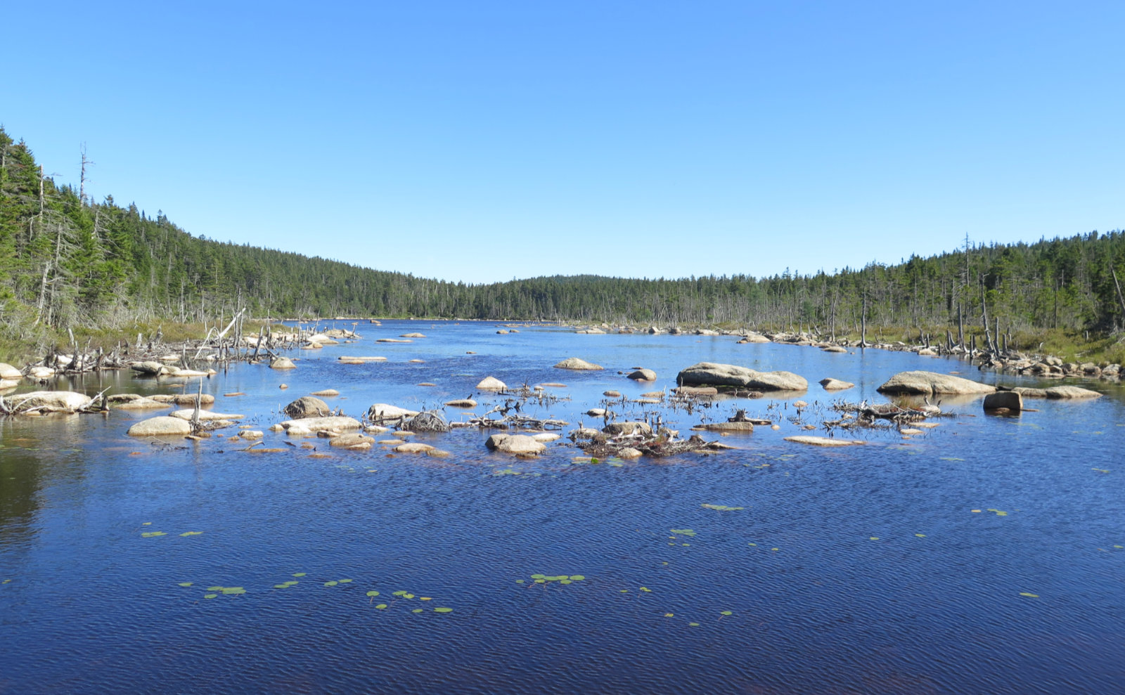
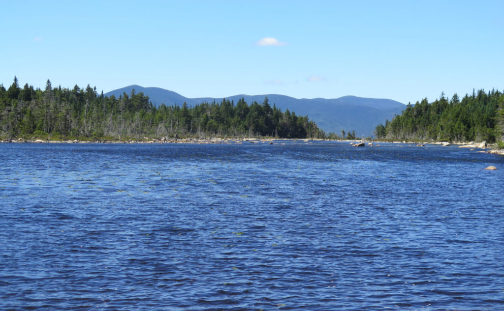
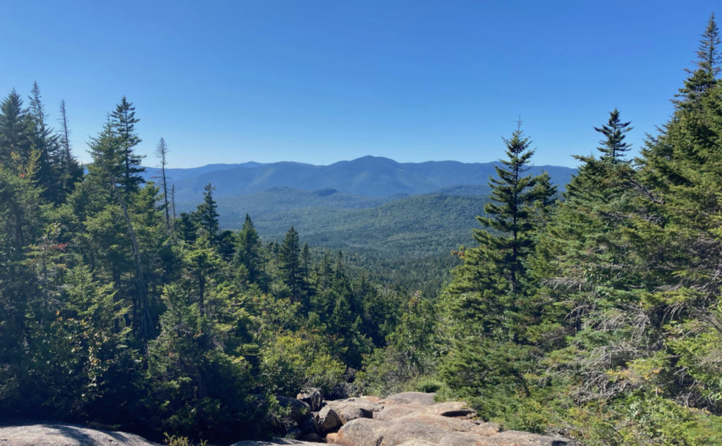
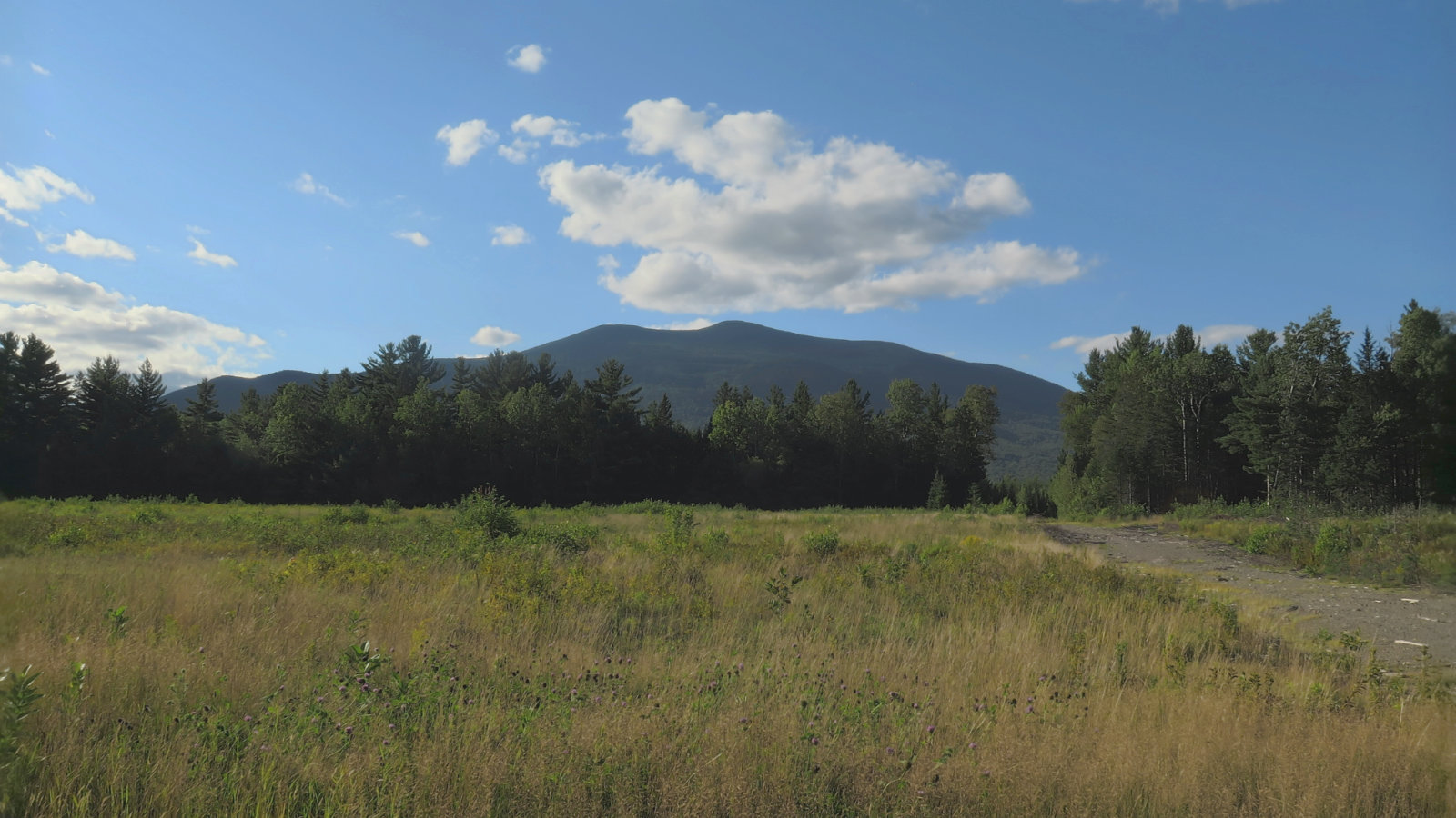
And pressing on, that’s exactly where I ended up next. Spanning the height-of-land, the two ponds drain to either end. One to the Saco, the other to the Pemmigewasset. Views from Norcross Pond, to the northwest, were spectacular. I spied the Bonds, Mt Guyot, and South Twin, all under an azure sky.
Then it was time to turn to the mountain itself.
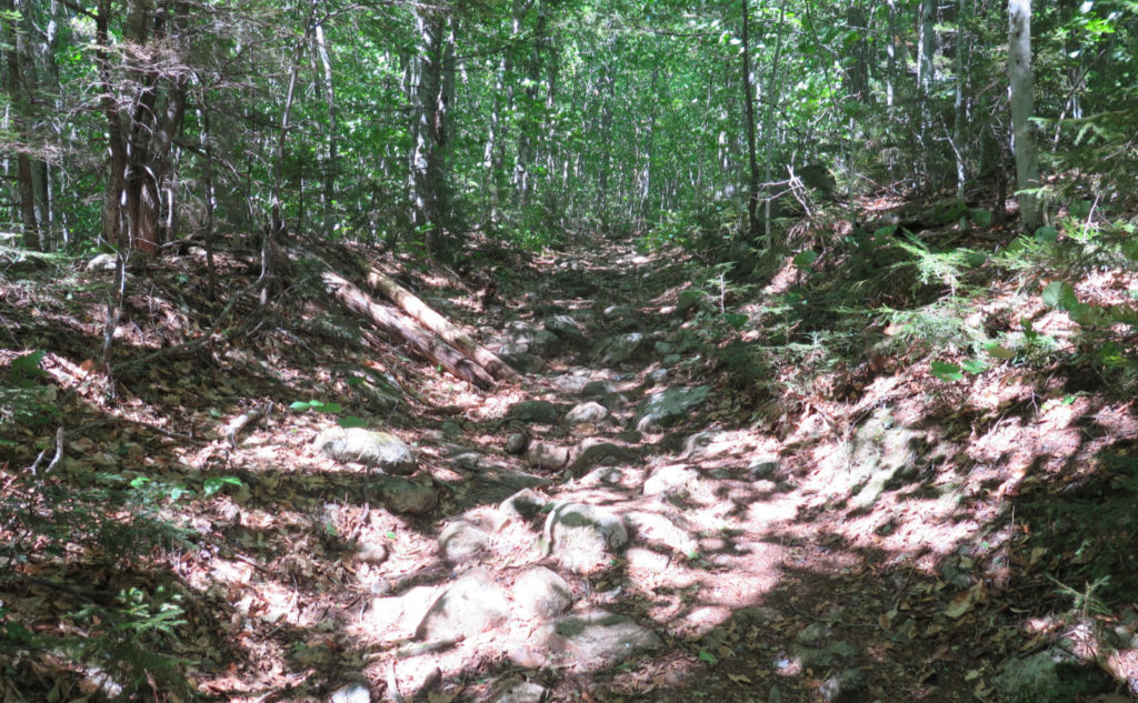
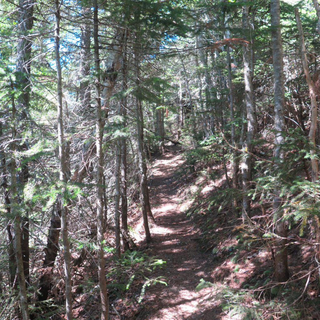
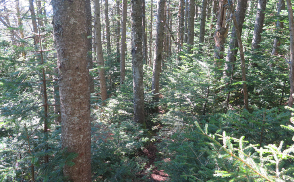
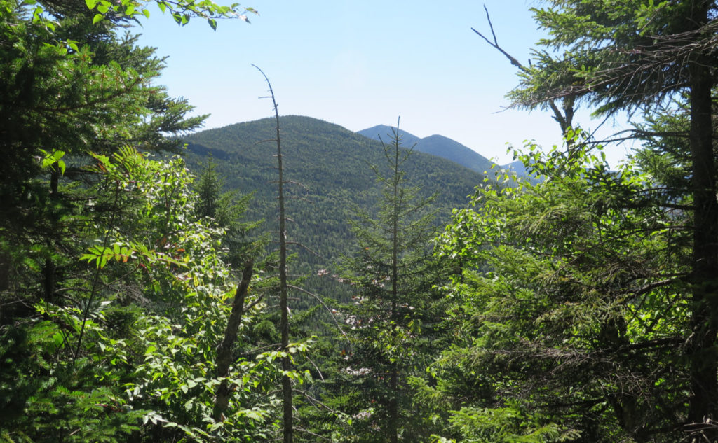
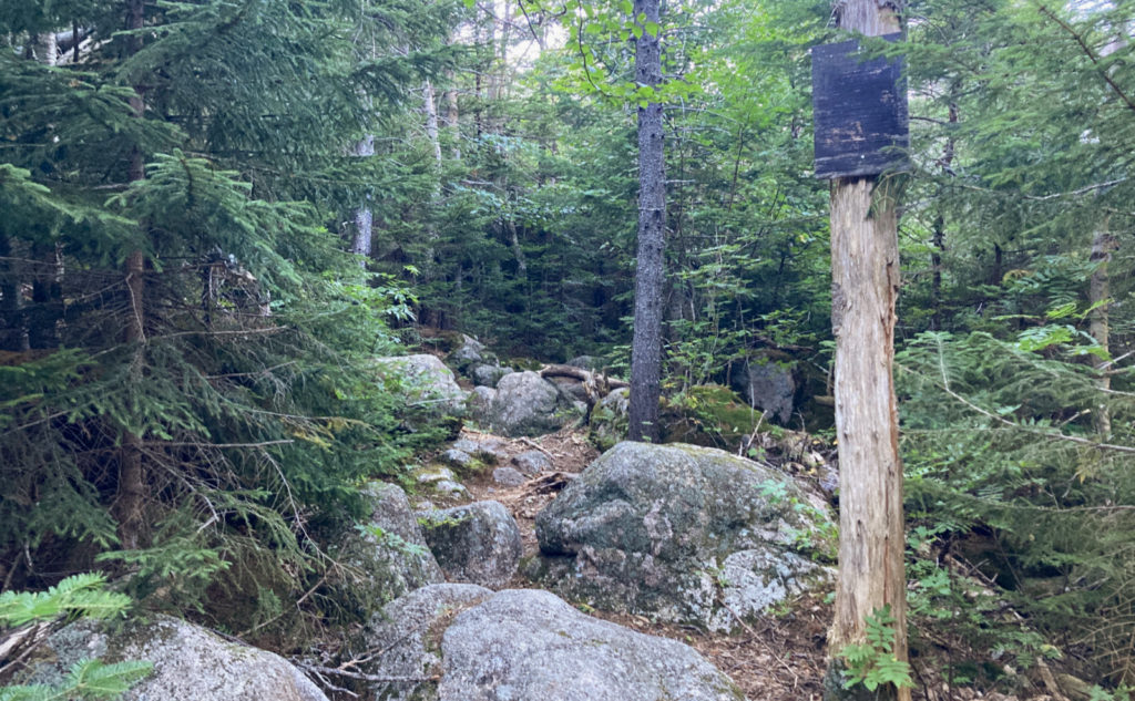
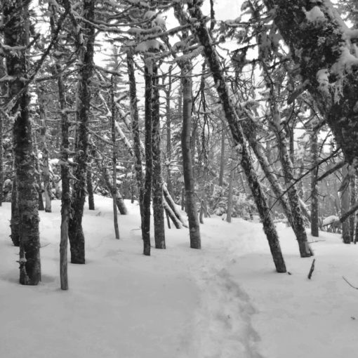
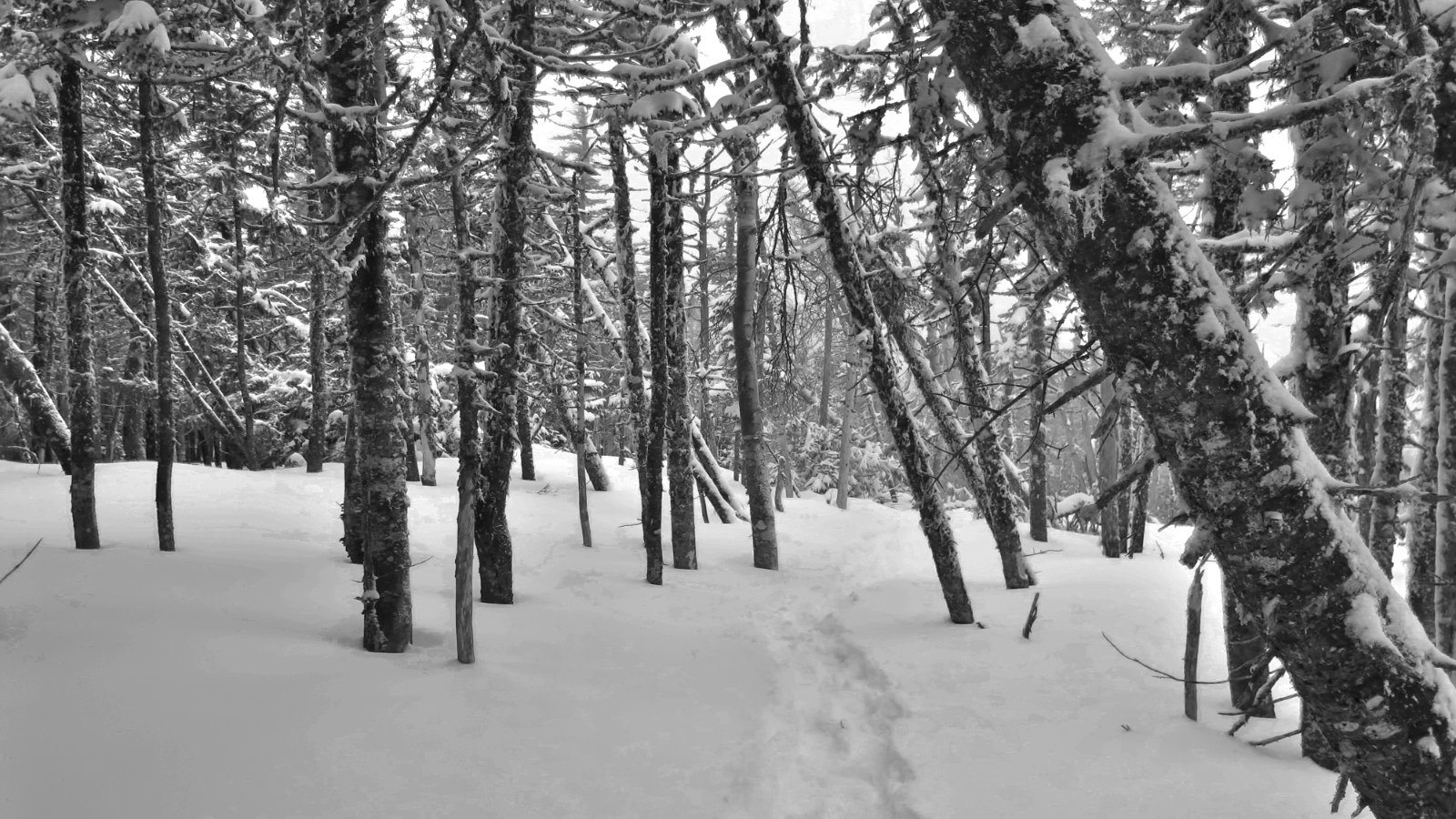
At the far corner of Norcross pond, I looked around a bit, then found the start of the bushwhack. It’s not hard to find, but there’s a small stealth camp site, and the actual start of the ‘whack was a bit obscure. But it followed a tote road for the first bit, which lures you into a false sense of security. How hard can this be? Well, Mt Carrigain and its Desolation trail isn’t far away, providing plenty of inspiration for those who laid out the path. “Fall line” is an apt descriptor, and it wasn’t long at all before the trail pitched due-up, and I was climbing at a mad rate. It felt non-stop until almost the very top, and while the footpath wasn’t hard to follow, it’s getting overgrown.
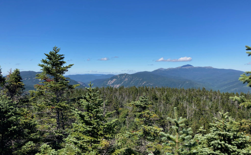
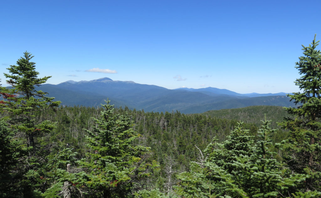
But at the top, pay dirt in the form of fantastic (albeit tight) views to the Presidential Range. On a day with far more sun than clouds, and a constant, brisk wind to clean the air, it almost felt like I could touch the summit of Mt Washington. Wow! On my way back down, I bumped into a fellow hiker, “Mantis”, who had hiked the PCT last year, and the AT a couple years before that. We shared a few thoughts about the trail and about the day, before parting company. Back at Norcross Pond, I filled up on water and pressed on. I was noticing the time, and starting to weigh options.
Risk v. reward, and all the while, hiking solo.
It was well and truly afternoon. Without much trouble, I could have hiked out to the junction of Carrigain Notch trail, tagged the sign, and then returned the way I came. I’d likely climb down the Nancy Cascades, which would be somewhat challenging on the downhill, in late afternoon light, but it would certainly still be light. And I’d get back to the trailhead just as the sun was setting. Yet I’d be leaving that last bit of Carrigain Notch trail still undone for my redline, which was gnawing at me. What I knew I really didn’t want was to be climbing down the bit of trail alongside Nancy Cascades in the dark. It was rough going up in daylight. It would be treacherous going down by headlamp. Going out the way I came, the safer choice would be to skip heading out to Stillwater Junction.
I was calculating time and distance: from the junction, Stillwater was about 1.6 miles. I wasn’t totally sure, but Nancy Brook trail felt like its remaining milage would be smooth and relatively quick — it seemed the hardest part (ascending the cascades) was behind me for sure. I knew Carrigain Notch trail was pretty smooth and flat, especially around Desolation. The unknown was that last 0.8 mile to Stillwater Junction… but everything around that area was pretty flat, and I knew there had historically been a lot of logging in the area.
And so, I weighed all that against an alternate exit option: hiking out via Carrigain Notch, and then doing about 3 1/2 miles of road-walk to the car. Given the time, I expected that I might have to walk out in the dark, starting around the junction of Signal Ridge trail. But having been there just a couple months ago, I knew it was fairly smooth and easy, with no significant water crossings or other challenging terrain. It would be an unexpected change of plan and I’d have to move briskly, but in total, I felt very comfortable with it. I decided to press on and bag all my objectives for the day. But of course, wishing I’d gotten on the road sooner in the morning. C’est la vie.
Desolation. More solitude. Stillwater. Serenity.
One of my maps calls the area “Desolation.” I’ve looked back in my AMC guides back to 1932, and the sampling I picked (1972, 1960, 1936, and 1932) had nothing to say on the matter — in fact, the word “Desolation” itself doesn’t appear in the 1932 guide’s index. Odd. In any case, that area “behind” Carrigain feels like a special place. The trail was easy and I made good time to the junction with Carrigain Notch trail. That honey colored afternoon sun was bathing the forest, making everything magical. Wow!
And so I kept going west, trying to move briskly, and yet trying at the same time to enjoy the moment. I met a couple backpackers who planned on hiking up Carrigain in the morning via Desolation, who were fixing dinner, enjoying the evening glow. We shared a few thoughts, and when I told them of the steep conditions in front of them, they were energized.
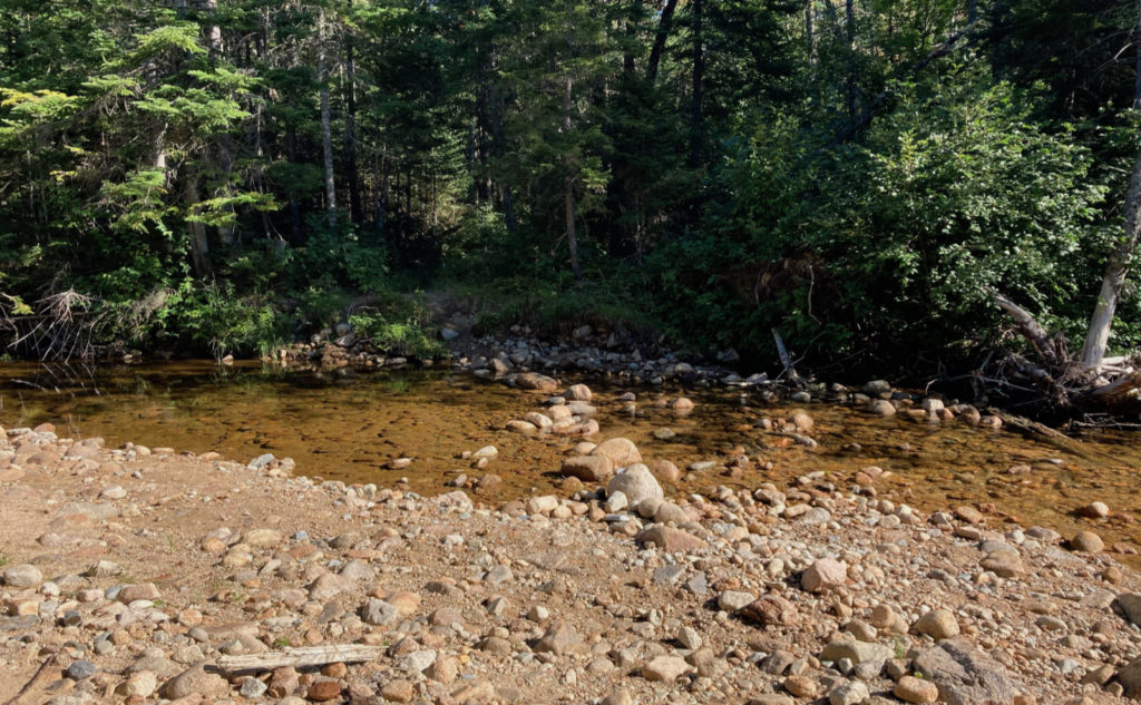
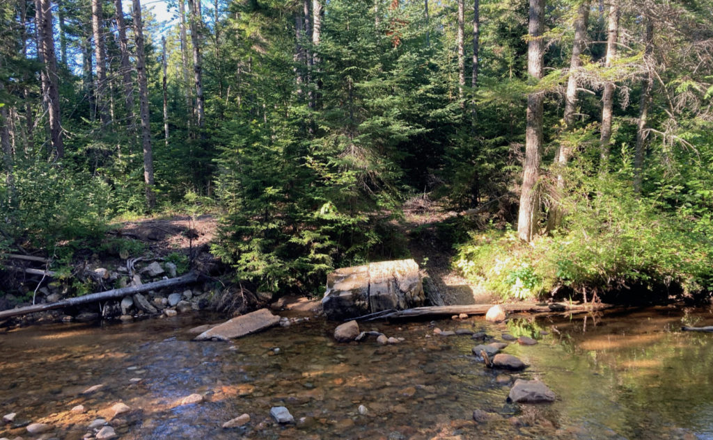
And then I was at Stillwater Junction. Victory! It is as it’s named, and I felt even more of the quietude and the solitude. Looking at a map, you’re only a little more than three miles from the AT, and all the traffic you’d expect on that trail. But here, I heard nothing. Not even those campers that were a bit over a half mile away. For the moment, it was me and no-one else. Bliss.
Nothing lasts: serenity is especially ephemeral.
The sun was that golden color that suggests you’ve only got so much left. And then you’re breaking out the headlamp. It was time to beat feet. I turned back for the trailhead. Like probably everyone on planet Earth, I’m not particularly fond of road-walks, even less so in the dark. I resolved to push hard, and maybe at least get to the trailhead with the last dregs of twilight.
Fortunately, my calculations were spot-on. Reaching height-of-land at Carrigain Notch took a shadow of the effort that it took to do the same trick on Mt Nancy: the two don’t even compare. That a lot of the trail was overlaid on old road beds also helped a lot. I made good time, and even got to the trailhead with a lot of light remaining. But by the time I got halfway down Sawyer River Road, it was getting very dusky, and it was outright dark when I reached 302. A half moon lit the way, though, which was nice. It was a treat being able to walk by moonlight.
The ponds are a bit of a geologic anomaly, being at the altitude (around 3,000 feet) that they are: a bit like Lakes of the Clouds. It sets them apart, not the least, for the work you need to do in order to visit them. On a beautiful day such as I enjoyed, it’s a rare treat. Capping it off with a trip deeper into the Pemigewasset Wilderness was icing on the cake. I saw so much that was impossible to capture in a photograph, which isn’t unfamiliar territory, but it felt even more so this time around. Car to car, I hiked more than 20 miles, and to be true, I was exhausted by the end, but it was totally worth every bit. I can’t wait to go back to that special place.
As always, stay safe out there.

Nuts and Bolts: Nancy Pond trailhead is on Route 302, several miles south of the AMC Highland Centre. But perhaps more easily found, it’s about a mile and a half north of Sawyer River Road. Davis Path is about a mile to the north, on the opposite (east) side of the road.
Note that this is a small pull-off, with space for just a few cars. The kiosk is deep in the trees, so you’re looking for a small brown trailhead sign, and not much else.
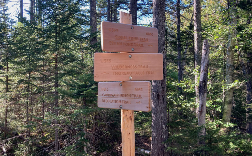
Blazes and cairns… yes, there are a few yellow blazes. Don’t count too much on them. Most of the time, the trail is apparent, but there are a few spots where things get a little thin. A lot of the route is within the Pemmigewasset Wilderness, so don’t expect a trail that’s paved in gold. (That said, there’s a surprising amount of puncheon and bog bridge.) Almost all the trail junction signs I saw were of recent vintage, and even the old ones are still in pretty good repair.
6 thoughts on “Trip Report: Stillness and Solitude: Hiking Mt Nancy, and out to Stillwater Junction”
NICE! Especially that small stream that will eventually be coming out my sink, both, and washing machine spigots! Merrimack Valley Watershed! Have only been as far as the cascades and that was years ago! Really want to see the rest. We like Bear Notch Road as well.
Those ponds are certainly worth the trip up the cascades. You should definitely put it on your to-do list.
I love that area. I’ve stayed at the former Desolation Shelter near Stillwater SEVEN times, five times in the winter. Came in from every direction (Lincoln Woods, Zealand, Carrigan Notch, Cedar Brook, Nancy Pond). Considering it’s a 3 hour drive for me just to get to the trailheads, and then a long hike to the shelter (from any direction), that says something about its appeal. It’s been far too long since I’ve been back. Thanks for the virtual revisit.
Glad you enjoyed reading about it as much as I did visiting it. Staying five times in the winter is a special kind of dedication. Without a doubt, it’s worth it. I’m glad fewer people know about it.