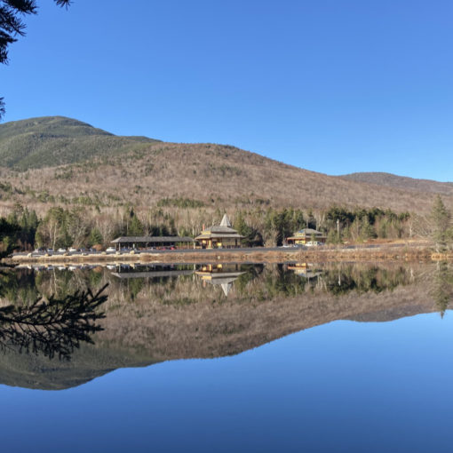
Mt Pierce (4,312 feet). Crawford Notch, NH. 2021-12-09 (Thursday.)
Via Crawford Path, Webster Cliff Trail, Mitzpah Cutoff. 5.7 miles round-trip.
20 dF at the trailhead, about the same back at the car. Winds were mild to negligible in the trees, about 5-8 knots at the summits in the exposed areas. Cloudy throughout the day, with occasional brief snow flurries. Trail had packed snow on Crawford Path; unpacked, fluffy drifting powder to Mitzpah hut, and a few footprints through same on Mitzpah cutoff. No more than 2-4 inches except in occasional drifts.
Trailhead: 1200. Pierce summit: 1400. Mitzpah Hut: 1500. Car: 1600.
Packing the Powder on Pierce
Occasionally, I find myself utterly bereft of motivation. This morning, it was impossible to get out of the house, and indeed, even yesterday, I just wasn’t into deciding where to go next. It’s a thing, and the only way is to just let it pass as it will. Last week, I’d had my eye on Jefferson, so something involving the Presidentials was going to happen, “weather or not.”
The prognosticators at the Mt Washington Observatory handed down their forecast, which basically said “maybe another day.” Given that I spent the afternoon inside a ping-pong ball, it’s just as well. I wanted to hike up Jewell, so I could cross Clay and have some of those intoxicating views into the Great Gulf, and maybe get some nice photos of the nearby scenery. That wasn’t ever going to happen today. Pierce, on the other hand, did happen, and that went well; ultimately fitting rather tidily into a four hour block of time, not including getting there.
On some level, I think it’s a bit odd that one of the easiest hikes on the 4,000 footer list just happens to be in the Presidential Range, and the best part is that on a clear day, the views can bring even the most jaded to their knees. Practically everything else in the area is at least a medium difficulty, but Pierce makes even things like Welch-Dickey look like an outing worthy of a team of Sherpas.
Eventually, I get moving
I finally left the house, enjoying a little sun, and hoping that it might make some of our recent dusting of snow go away. It’s been an amusement for me during the last couple of hikes, thinking that for all the snow that’s fallen on the Whites, it’s still autumn. Winter isn’t here just yet, folks. But I’ve also been noting the hour and minute of sunset, and each time, I count down. Two weeks from now, the days will finally be getting longer again. (Unfortunately, due to the scheduling of next autumn, summer will only be three months long in 2022. This also happened 150 years ago, in 1872, the same year as the Great Boston Fire.)
A funny thing happened just north of Ashland: I’d been enjoying at least a partly sunny drive up, which was quite pleasant, and left me hoping they might have blown the forecast. But just before mile marker 80, visibility dropped to about half a mile as a squall ripped through, blowing pie-plate sized flakes everywhere. And then, just as quickly as it blew in, it blew out again. Happened a couple more times before Twin Mountain. Weird.
Heading up a familiar trail
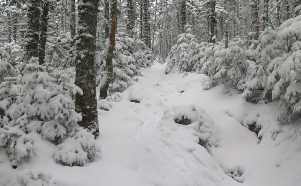
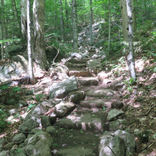
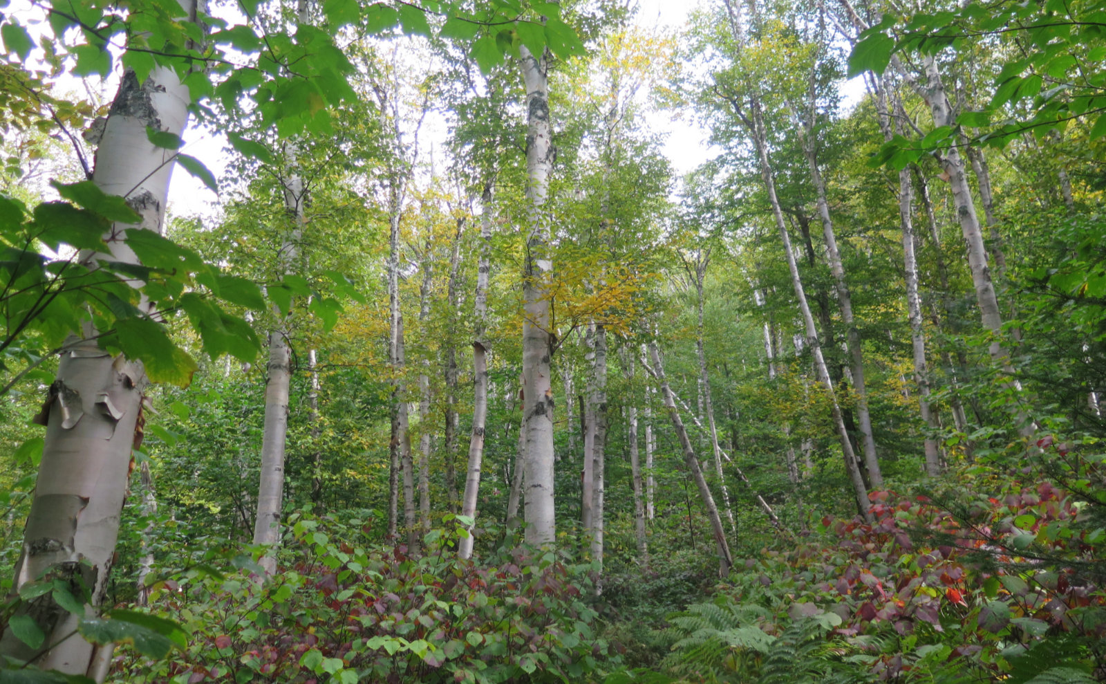
Anyway, at the trailhead, I started up. The snow on the ground is deep enough to be durable at this point, unless something really crazy happens. I made decent headway with light-duty crampons, thinking micro spikes might have been too lightweight. It was just snowy enough, and what was on the ground was bone-dry and drifty if someone hadn’t stepped on it yet. But footing was surprisingly good throughout, so there was that. I didn’t spend more time at Gibbs Falls than to spot the fact that it was iced over, and besides, the light today was terribly flat with all the cloud cover overhead. I could take a million photos and not one of them would have been exciting.
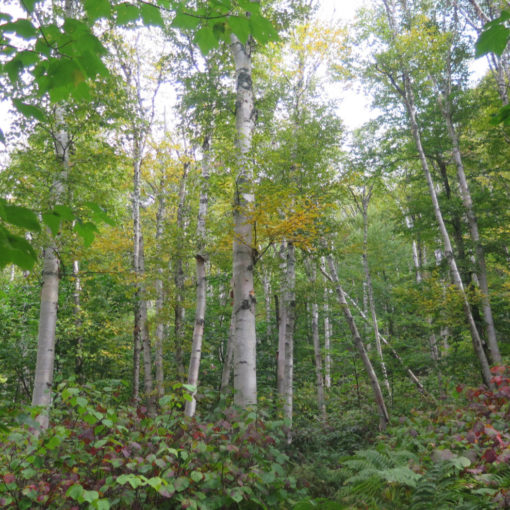
Moving upward, I enjoyed the easy grade, and was thankful for the hard work of Ethan and Abel Crawford all those years ago. There are a lot of trails that might be more scenic, or whatever else, but this one’s a pleaser just for the fact that it’s so easy going, and sometimes, that’s what you want. Like me, today. I made pretty good time… until I met up with a downward-heading hiker. Nice chap, and we stood around for probably half an hour, just chewing the fat. Nice conversation about doing the Pemi Loop, various traverses, and such. I got some ideas for next summer.
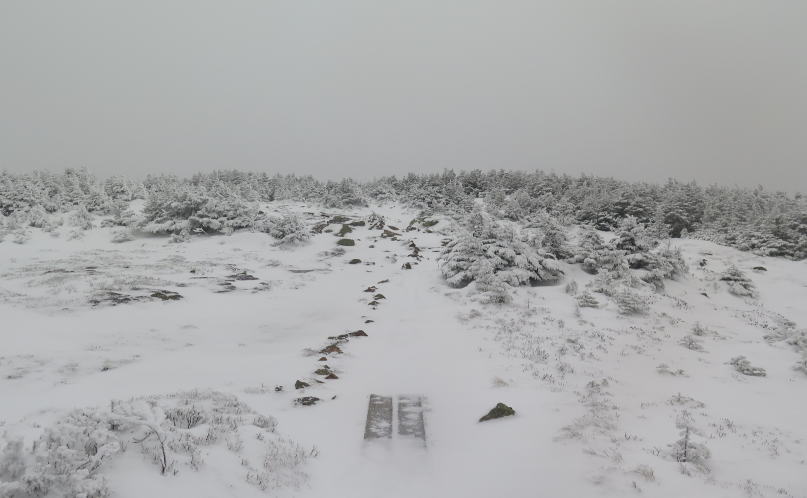
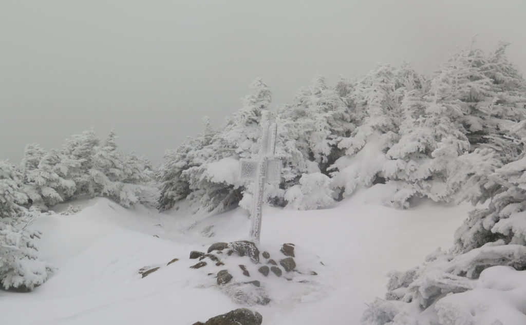
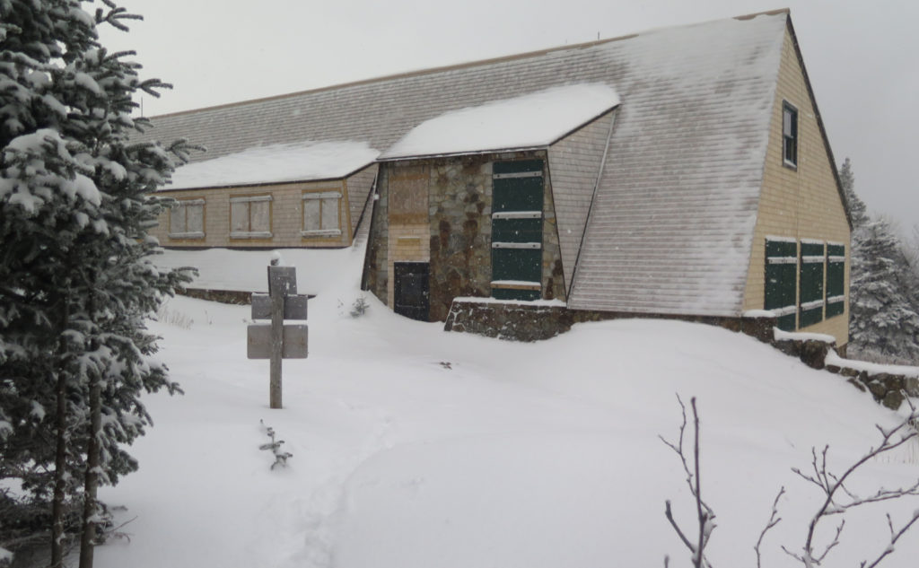
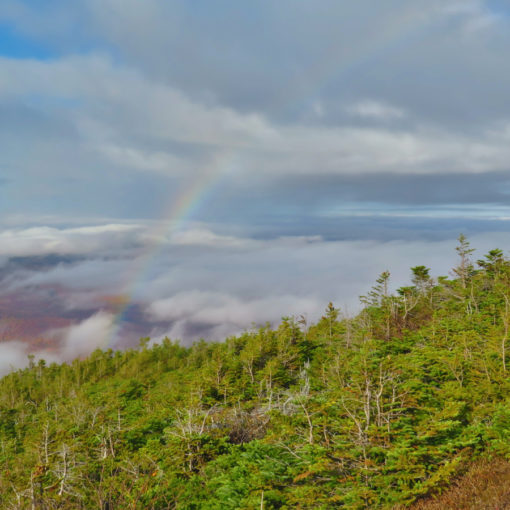
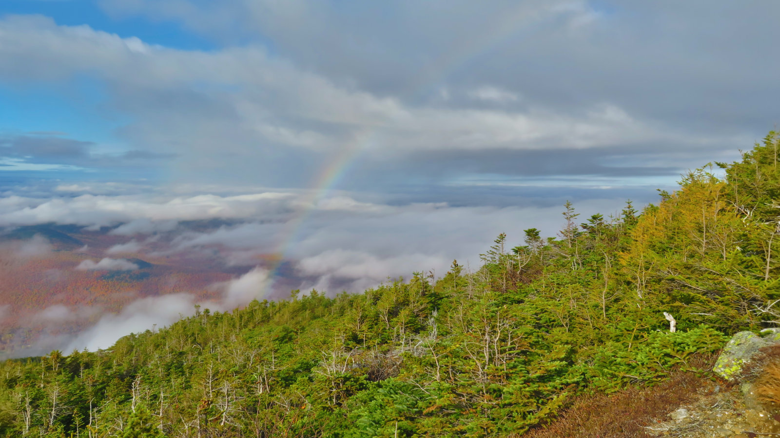
At last, I got to the summit. It was fairly breezy, and that breezy was fairly icy, and that icy was reaching further into my clothes than I’d have preferred. The view was pretty paltry, so I was happy to perambulate back into the trees, protected from the wind. I’d given some thought to possibly passing over from Pierce to Jackson, and decided to at least see how things were out to Mitzpah hut. It would be a relatively short test, and one that wouldn’t meaningfully affect time, in the case I decided to bail out.
The light… or maybe the lack of shadow
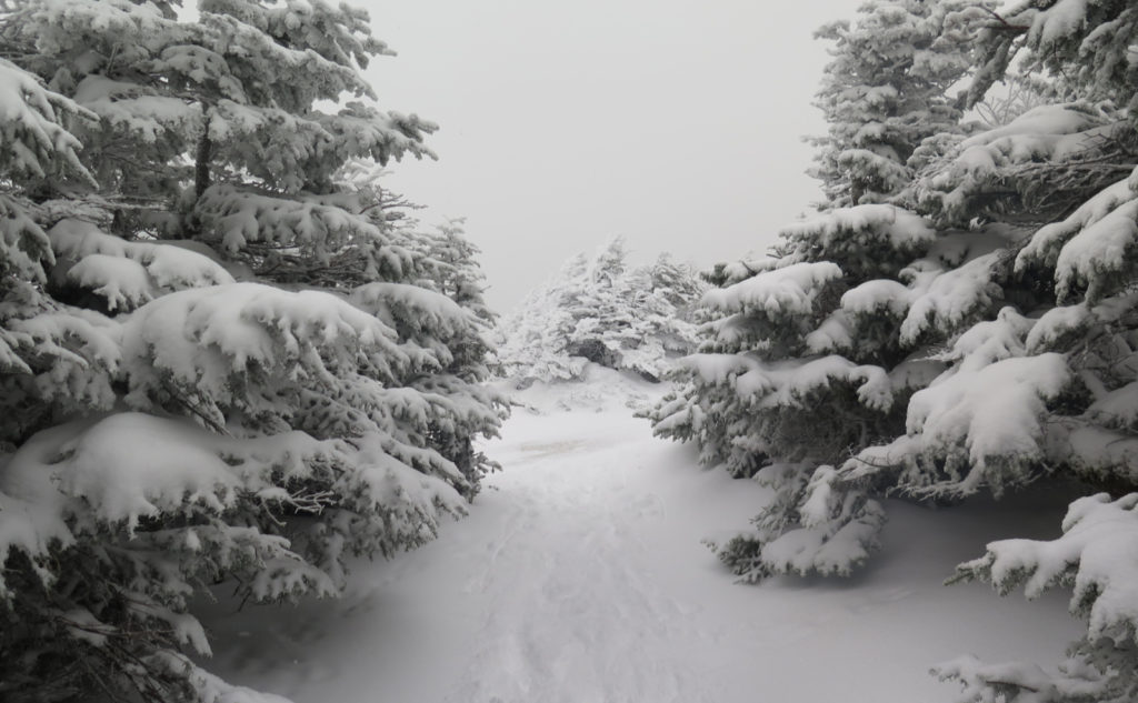
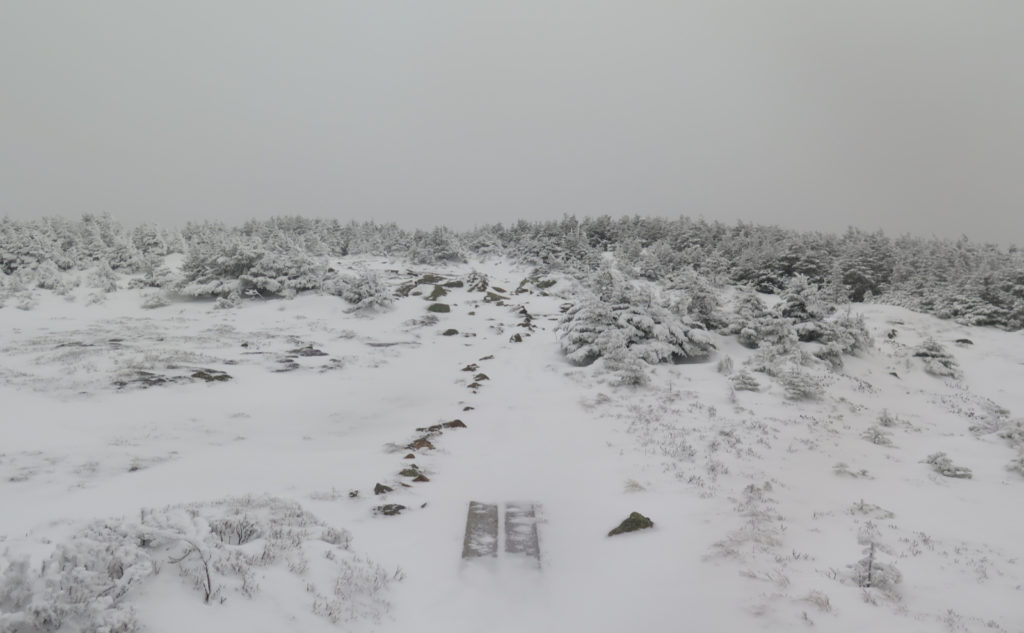
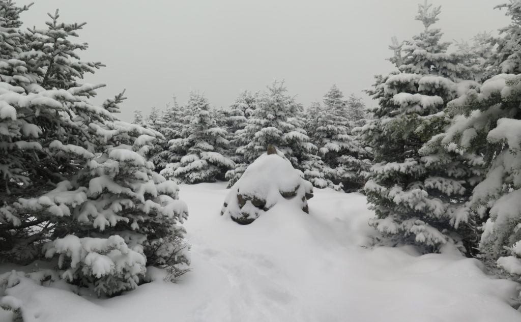
The light was flat all day. On Crawford Path, this didn’t matter so much. Footprints on the ground gave the eye something to latch onto, and a signal that footing “right there” should be at least nominal. Heading out on the Webster Cliff trail, though, the snow had drifted considerably. There was evidence, here and there, of someone who’d been along the trail at some earlier point, but for the most part, I was stepping onto virgin snow, with little sense of depth or what was beneath; not a lot of visual clues.
It was oddly scary. I felt vulnerable in an unexpected way. With each step, I wondered when I’d turn an ankle. Memories of an otherwise stellar day on Mt Adams haunted me. It wasn’t pleasant, and I was trilled when I finally saw the roof of the hut ahead and below me by “not much.” The Mitzpah Cutoff was much more out of the wind, and had seen a bit more foot traffic… I could walk with much more confidence, actually seeing what I was stepping on.
At last, familiar ground
Back on the final leg, I was on a trail that was familiar, making good headway. Sunset was on its way, and I was keen to get back to the car with at least some daylight left. The sound of rushing water reassured, and then I spied the sign for the hut. Sounds of traffic on 302… and then I was heading down the roadway.
This didn’t feel like booking mileage, but it also didn’t have anything of an epic feel like the Hancocks last week, or heading up South Twin, or even bounding across Guyot heading to West Bond. It happens. Sometimes a hike is just a hike, instead of a more memorable adventure. Then again, I was outside, on gentle grades, enjoying the snow, draped across the trees. All in all, not a bad day out.
As always, stay safe out there.
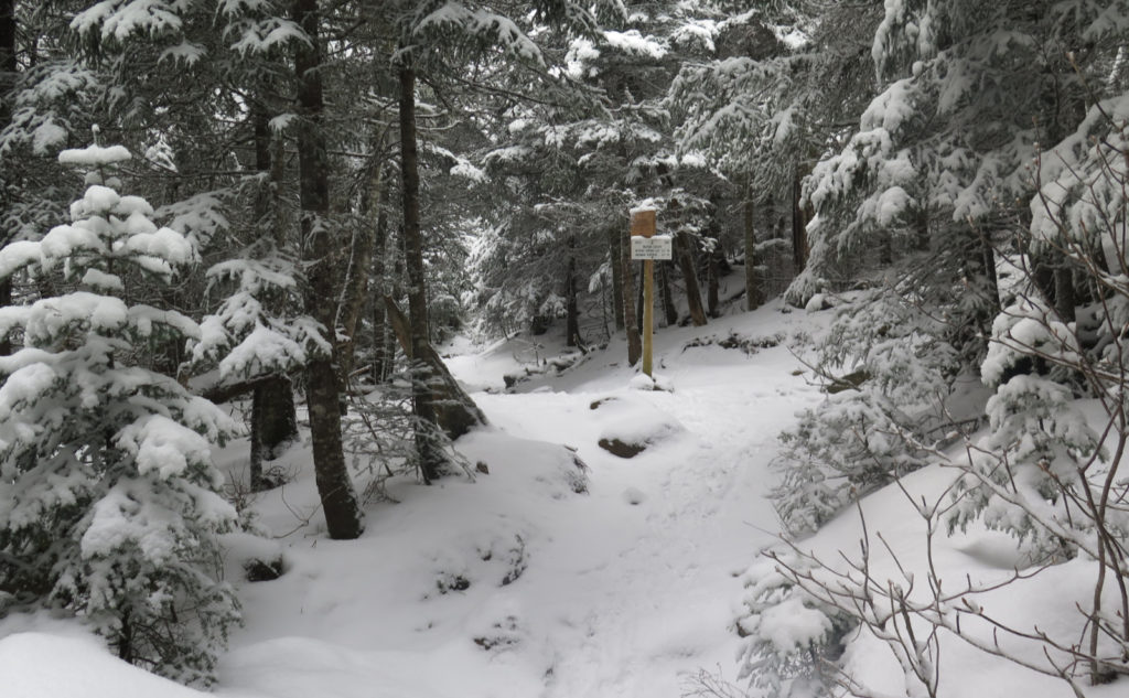
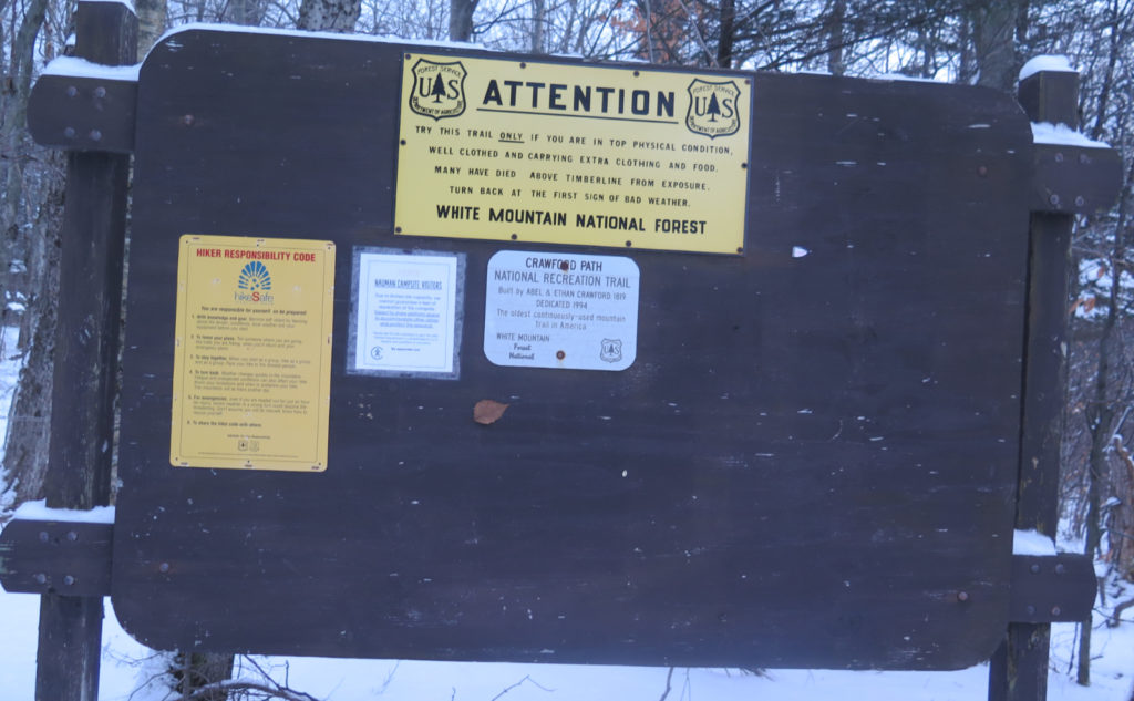
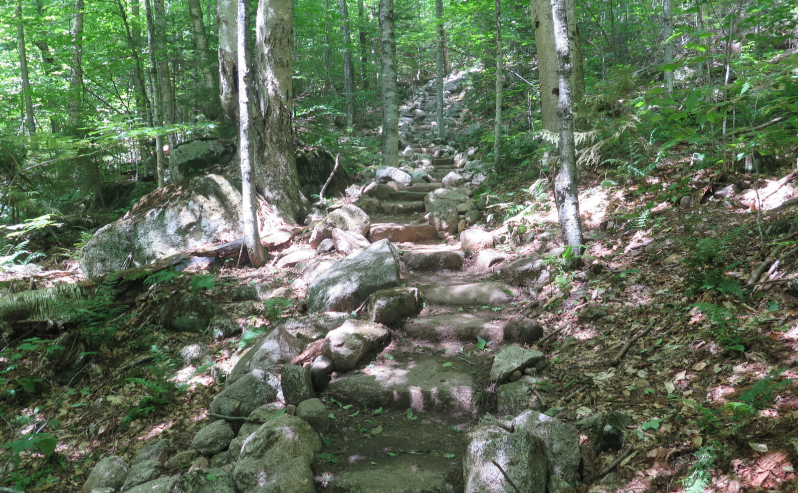
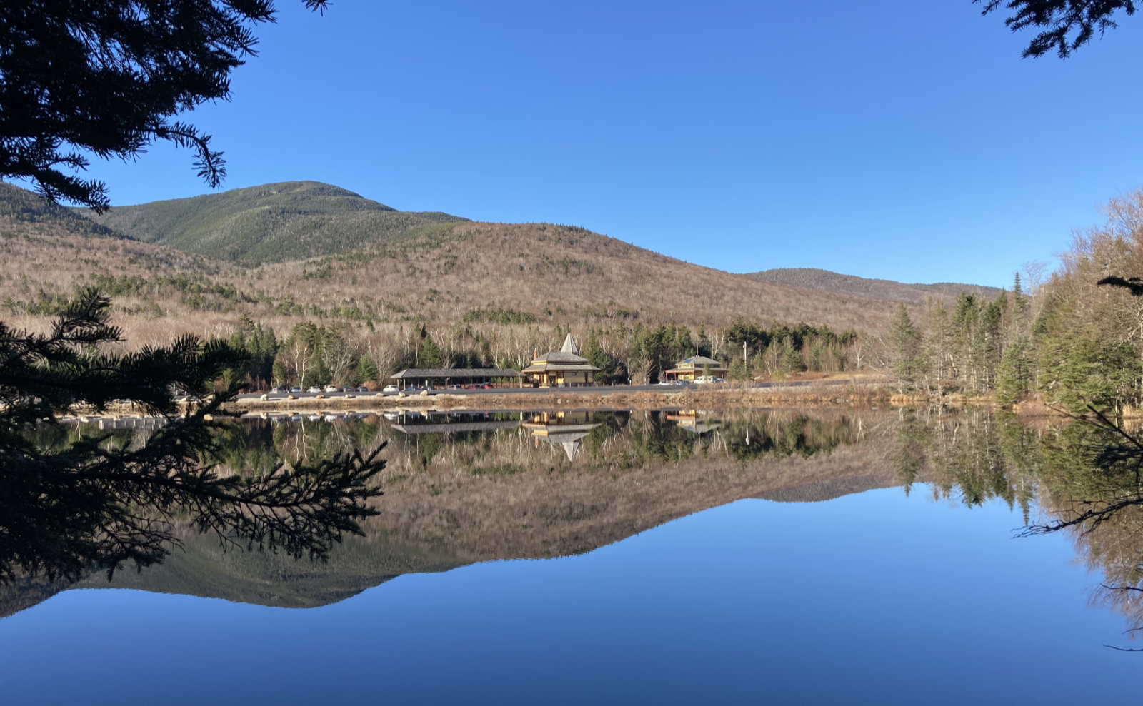
Nuts and Bolts: There are a couple options for accessing Crawford Path. You can, as I did today, park at the train station between the eastern trailhead for A-Z trail and Saco Lake. From there, walk north up 302, and the trailhead will be about 2-3 minutes up the road on your right. You’ll step directly onto Crawford Path from there.
Optionally, you could park in a small area on Mt Clinton Road, which is about two tenths of a mile up the road from the AMC Highland Center. From there, you’ll need to take the Crawford Connector, which might add about 100 yards to your overall distance. Not much. But you’ll want to remember you did this on the way down, to avoid an annoying road walk if you forget.
Blazes exist. If all you’re doing is Pierce, the trail is very apparent until you hit Webster Cliff Trail. Once there, things get weird. As I write this, there’s a lot of drifting snow, obscuring the actual trail, and oddly, not a lot of cairns. For the most part, if you follow your nose to the southwest and uphill, you should be OK — the summit cairn is just inside the treeline, a bit over 200 yards away, and you go in a mostly straight line. If it’s sunny, you should be OK. If you’re going to try heading over to Jackson, know the trail from the hut was devoid of foot traffic when I gazed at it this afternoon. The snow was light and fluffy, and I never wished I brought snow shoes, but I have no idea what lurks down that trail at the moment. Caveat Emptor!
If you enjoy reading these posts, please subscribe — stay in the loop! Your email will only be used to alert you of new posts — typically 1-2 times per week. I will not use or share your email for any other purpose without your express permission. And feel free to share via social media using the buttons below.
Find me in the mountains, on this blog, or on Twitter: @Protean_Hiker