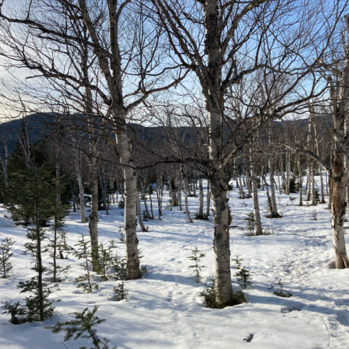
Last of Winter!
Mt Cabot. 4120 feet. 2019-03-20 (Wednesday.) Via the York Pond trail, Bunnell Notch trail, Kilkenny Ridge trail. Approx 10 miles.
35 dF at trailhead, 45 dF at the summit, 42 dF at the car. Sunny, with some clouds. Modest wind, approx 10-15 MPH.
Trailhead: 1200. Summit: 1500. Car: 1715. (Start of Vernal Equinox: 1758.)
26 winter peaks completed. 22 left to go.
It was a conservative plan. Nail down the quickie. At the same time, take care of the peak that’s furthest away. I’d wanted to sort of clean up my list a little, so next winter, I can concentrate on the stuff that doesn’t involve crazy-long days (the Bonds) or lengthy bushwhacks (Owl’s Head) or depend on good weather (Washington.) That’s not saying everything left is easy, but barring the northern Prezzies, they’re not ones that stand out as particularly hard in some way.
I had planned on bagging a couple more peaks earlier this week, but a nasty stomach bug put the kibosh on that. And reflecting on it, I’m fine by that. It gave me time to realign my goals. To focus on the hikes, and not just on finishing the list again. I realized I was trying to overachieve, trying to race for no well defined reason when I really shouldn’t have. And so I hiked in a subtly different headspace today. It was nice.
Last time I was on Cabot, I did it and Mt Waumbek in the same day, with an insane drive between the two trailheads. Today promised to be far more sedate, having already done my winter ascent of Waumbek a few weeks ago.
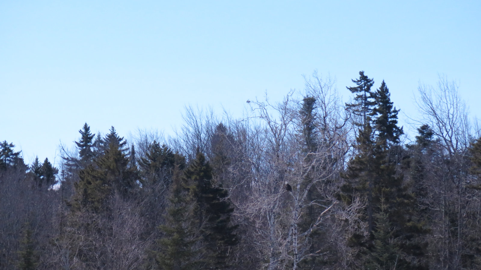
I got to Cabot later than I’d wanted. This seems to be a trend. At the same time, though, the late start had a huge silver lining. As I approached the fish hatchery, an enormous shape passed over and in front of my car. I realized what that door-sized bird was with no time to get my camera out before it alighted on a tree on the opposite shore of the pond. A gigantic bald eagle had decided to buzz my car for some reason before going off to groom itself. 15 minutes later, I decided it really wasn’t going to fly around for my photographic enjoyment, so I headed down to the trailhead. Thankfully, it was big enough to show up in the one half-decent photo I did manage to take. Just recording it with the mind’s camera was enough, though. It was majestic as it soared through the air, and wings outstretched, that thing was as big as anyone’s front door. Wow!
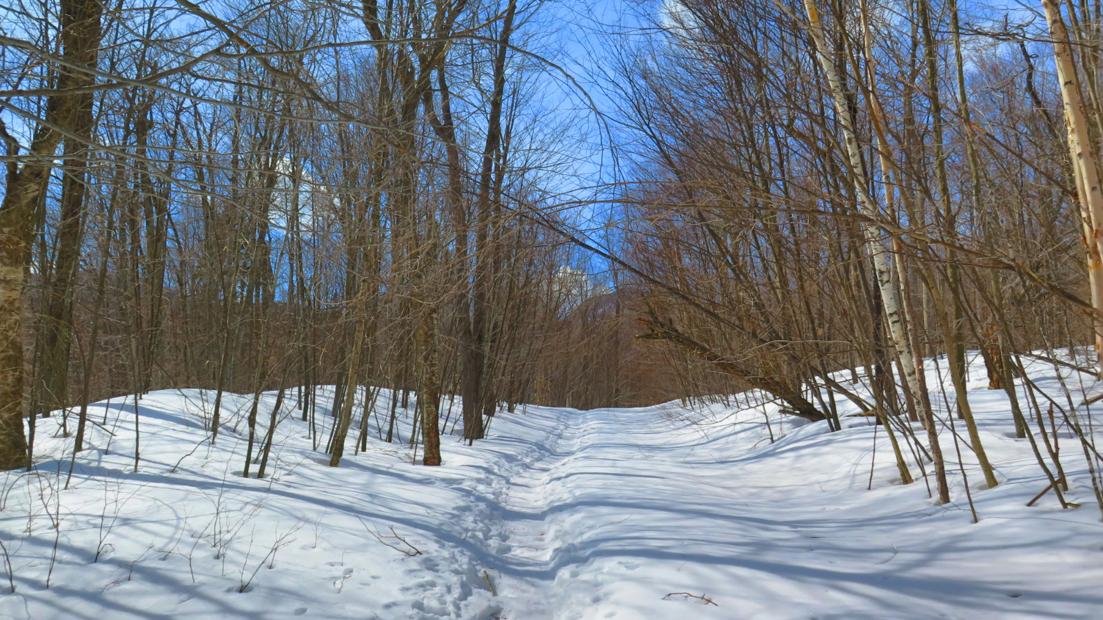
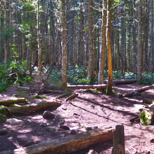
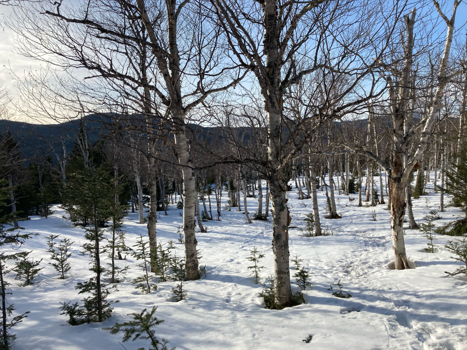
Heading down the trail, I shuffled along with snowshoes. I’d read on NE Trail Conditions that the monorail was a bit wonky. I shouldn’t have worried. The freeze-thaw cycles of the past few days had the net effect of turning it into something damn near concrete. After the first 1/4 mile, I swapped my snowshoes for my Hillsounds and made quicker, less encumbered progress. The first three miles were, for the most part, a gentle upslope. Several water crossings were a big step across, but not much worse. I made really good time, averaging around 2 miles an hour.
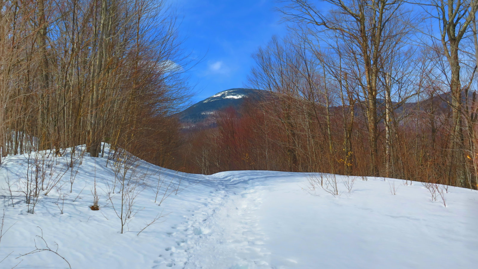
But that wasn’t to last. When I reached the Kilkenny trail, the climb began in earnest. My pace slowed to a seeming crawl, and I watched helplessly as the time marched forward, not at all slowed down. I dug deep and pushed forward. I came dressed for the warm, sunny day, but even still, that climb made me break a substantial sweat.
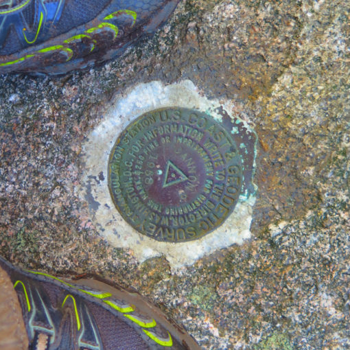
Fortunately, the hardest bit was only a little more than a mile and a half, but it’s worth noting that it really felt like those contour lines were packed pretty tight in that stretch. Memories of the steep bit on South Carter came to mind. The cabin came into view, and I knew the summit was nearly mine — indeed, it was visible through the trees. “15 minutes, tops” was my thought, and I wasn’t wrong. With a little under three hours left before the end of astronomical winter, I took my obligatory summit selfie, had a quick snack, and turned for the car.
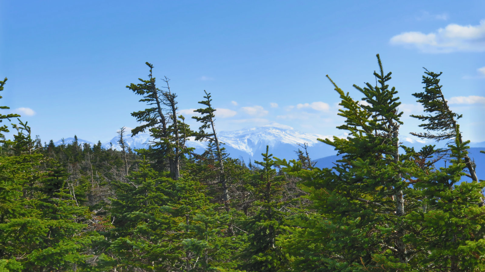
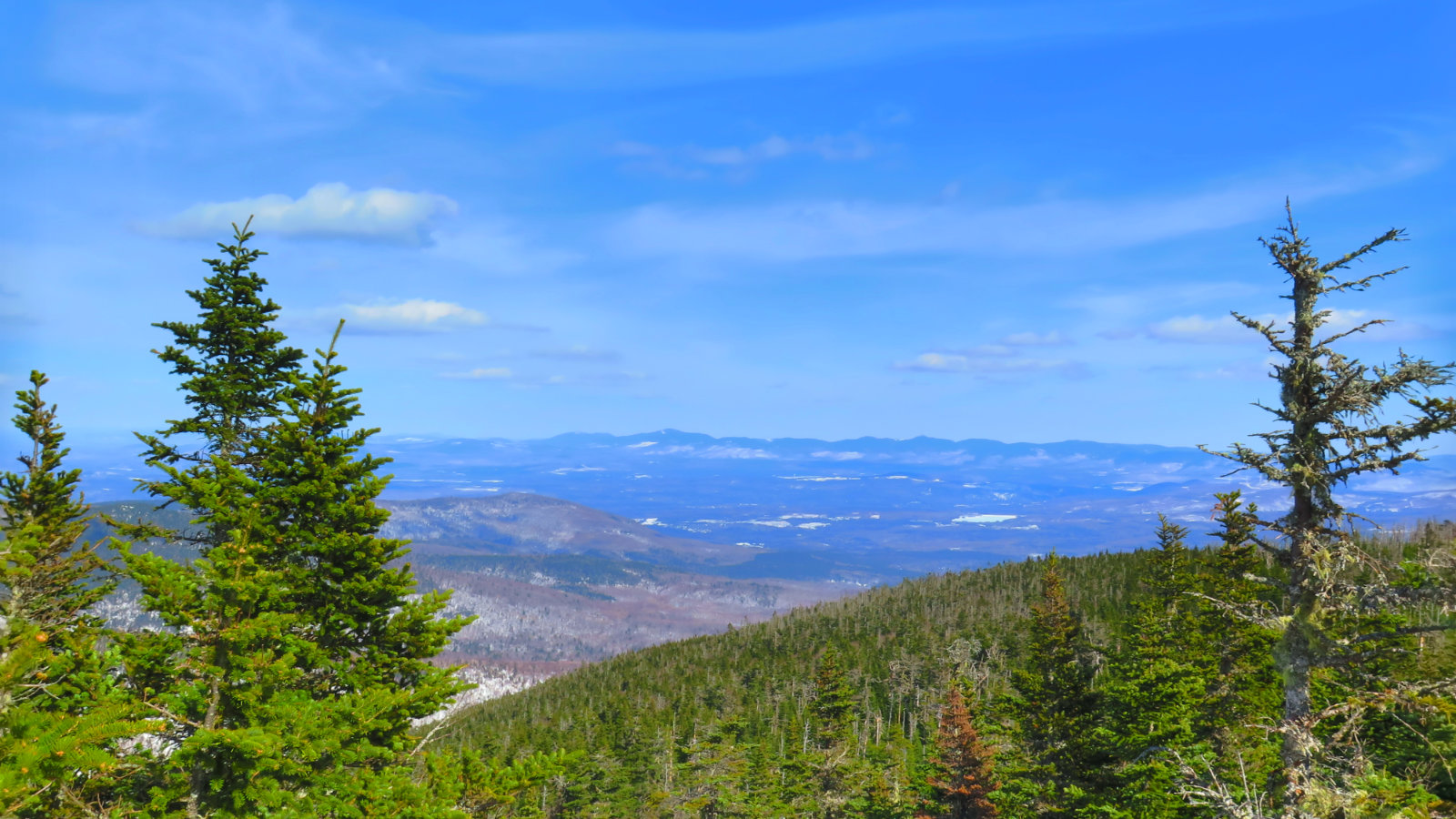
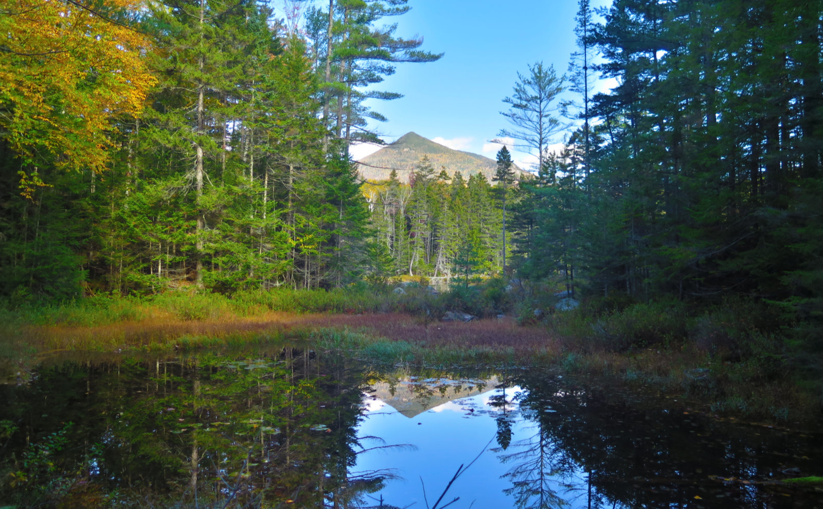
But wait… you turn around and realize the Presidentials are just over there! I can’t run back down without taking a photo! And then I realized it was at least a three state view… lo and behold, there’s Old Speck, and Killington on the other side. I identified a couple of the peaks near Canada on the Hundred Highest list, so I’m fairly sure it was a three state plus Canada view. One to be savored. Nice!
The trip back down was uneventful. I made my way down that first part very quickly, and the second part only modestly slower. Finally, I arrived at my car. Breaking down my stuff, another car showed up. One of the guides I met on Mt Washington was heading up to spend the night in the cabin with a pal. We exchanged some pleasantries before parting. With tonight’s full moon, I have a sense that if he’s just half as lucky tonight as I was today, he’s going to have a stellar time.
Nuts and Bolts:
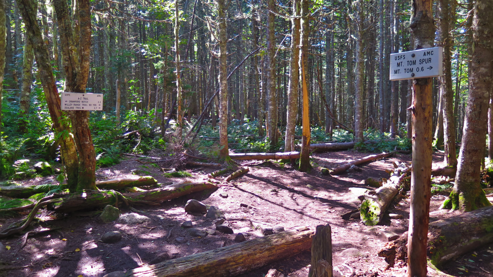
Getting to the trailhead, you just need to put “Berlin Fish Hatchery” into your GPS, and that’ll get you about 95% there — it’s at the end of York Pond Road, in Berlin, NH. (You’ll actually go briefly into Milan to get there.) Drive down York Pond Road and it ends at the hatchery entrance. From there, continue past the various buildings, and there’ll be a dirt road on the far side. Take that road, pass a few fire roads along the way, and you’ll come to a metal hiker/trailhead sign on the right: keep going for about another quarter mile, and you’ll see another trailhead sign on the left, with a small driveway/parking area as well. That’s the one you want. The trail is at the far end, with a metal gate barring vehicular access.
Beware: the dirt road is a bit hilly, and if it’s icy, traction can be nonexistent. Bring a way to dig yourself out, and bring some ice melt/traction sand. It’s a long way to walk, and cell service shouldn’t be taken for granted. Be ready to be self sufficient.
The hatchery folks have told me the sign advising the gate closure hours is there to empower them to actually close and lock the gate in case of urgent need. However, they’ve also told me that they’ve never seen the gate get closed — at least not in the experience of anyone I’ve spoken to. As well as that, today, one of the guys told me that a couple of the buildings I passed on the way in were employee housing. But when in doubt, ask. Those guys are typically very friendly, and very helpful.
If you enjoy reading these posts, consider subscribing. Your email will only be used to alert you of new posts — typically 1-2 times per week. I will not use or share your email for any other purpose without your express permission.
2 thoughts on “Trip Report: Mt Cabot”