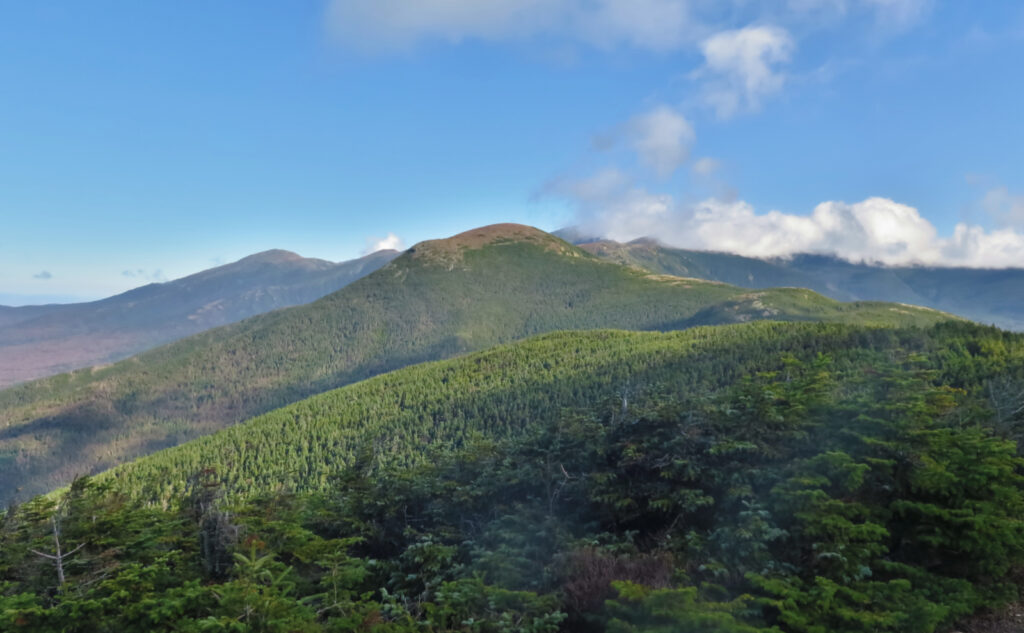
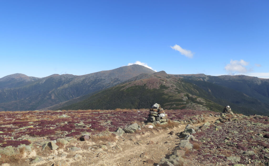
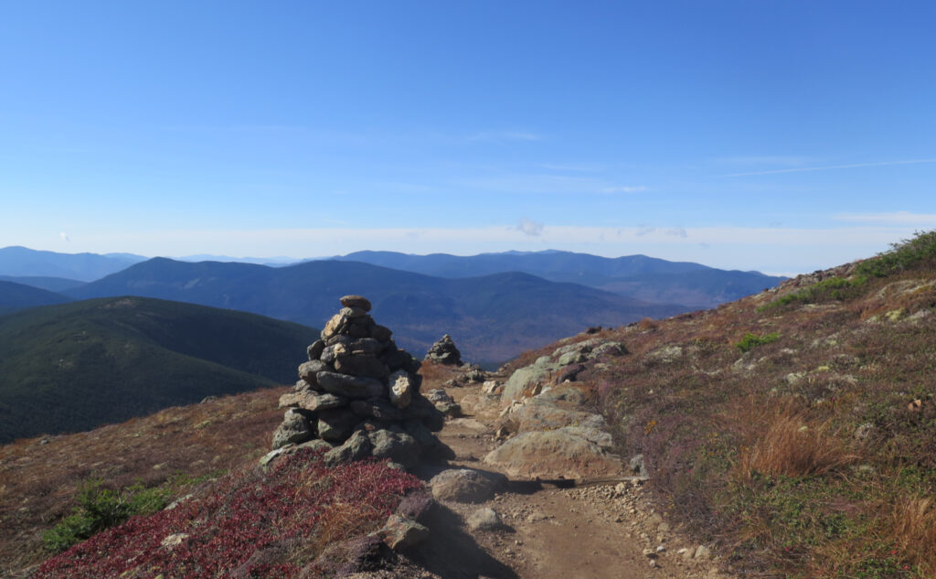
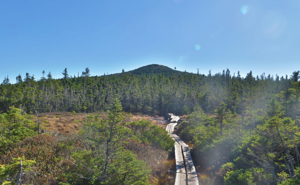
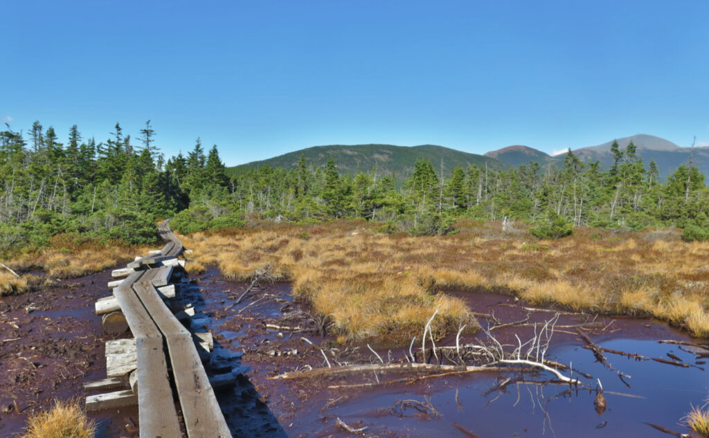
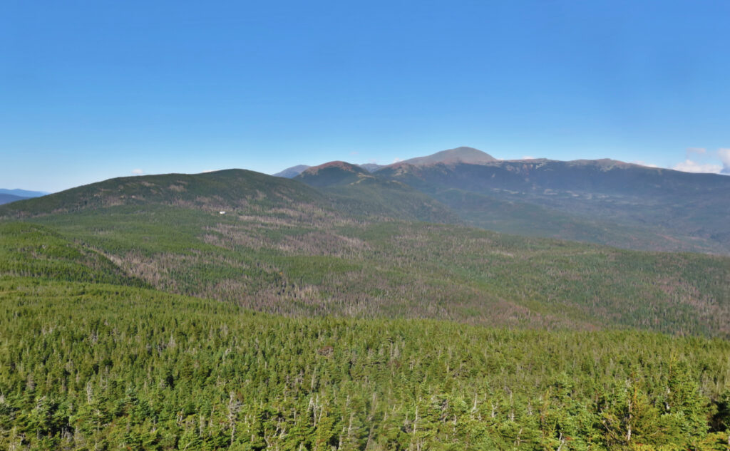
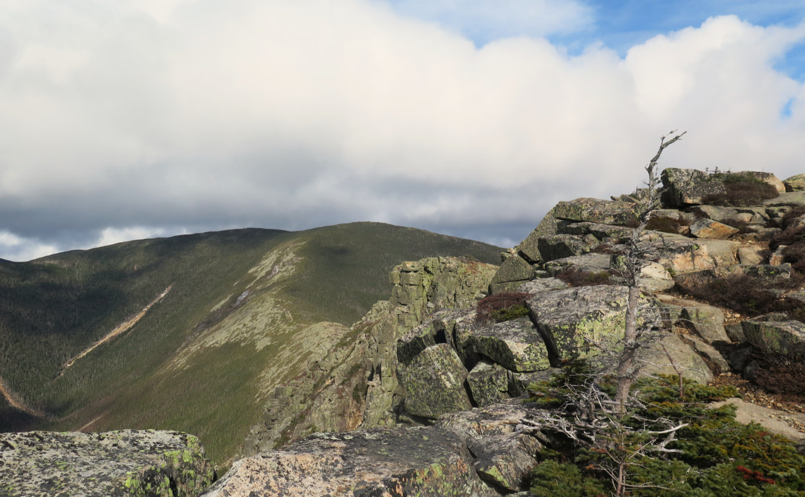
Mt Eisenhower (4,760 feet), Mt Pierce (4,312 feet), Mt Jackson (4,052 feet). Crawford Notch, NH. 2022-10-15 (Saturday.)
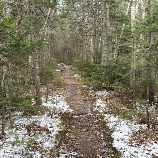
Via Crawford Connector, Crawford Path, Webster Cliff trail, Webster-Jackson trail. Approx. 12 miles.
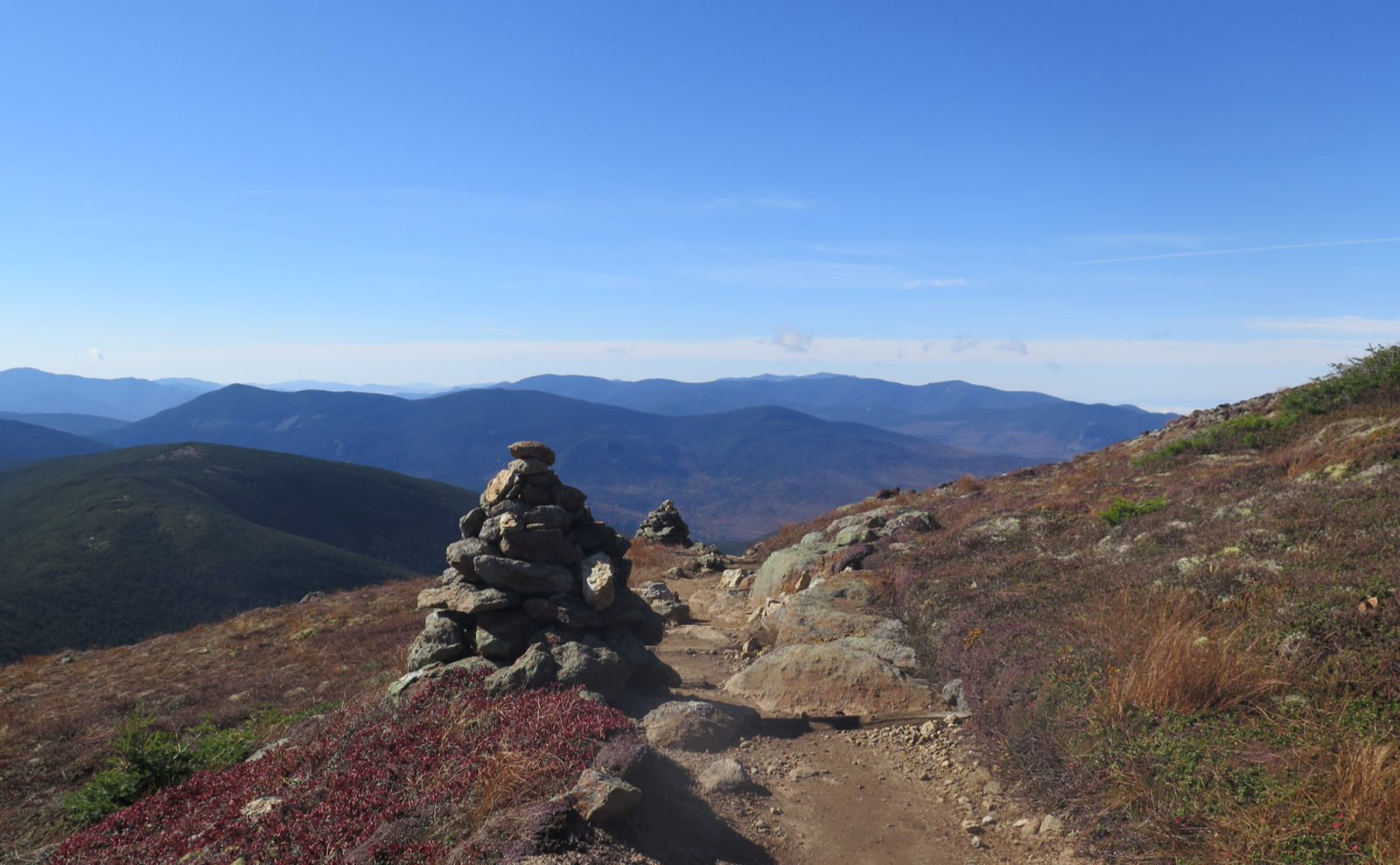
45 dF at the trailhead, low 60s dF at the summits, 55 dF back at the car. Winds amounted to a very pleasant breeze in all the exposed locations. Starting out with clouds early, becoming a true, balmy bluebird day by mid-morning, carrying through to sunset. Fine Indian summer weather.
Trailhead: 0900. Eisenhower summit: 1200. Pierce summit: 1245. Jackson summit: 1500. Car: 1700.
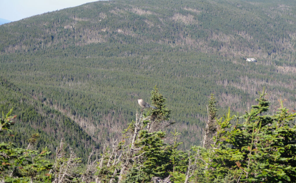
Canada jays on a bluebird day!
There are some who might have said I shouldn’t have gotten away with this trip, or at least not as well as I’d planned. News flash: the restrictions on donating blood if you’ve visited the UK (related to “mad cow” disease) have been lifted. This is my way of saying that I hiked today having donated about half a liter of blood last night. Whether or not I’d be able to hike afterward, the good feeling from donating (one I hadn’t experienced in literally decades) would carry me through the weekend quite easily. I wasn’t going to pass up the opportunity to give something that could literally save a life. There is an acute shortage of donated blood, and there is no substitute for the real thing. If you’re able, please consider rolling up your sleeve. It’s a small bit of discomfort in exchange for a huge amount of personal satisfaction.
They said no heavy lifting for about five hours; I noted a distinct lack of “no hiking, either” which was my permission slip for this outing. Still, I was a tad wary, so I left a lot of room in my plans for bailing out if I felt less than my usual self. The southern Pressies have plenty of “get down, fast” options to satisfy my paranoia. And while I strive not to rely on others, on a lovely weekend afternoon, the trails were almost guaranteed to be packed with fellow hikers. Concerns for my well-being were in that way assuaged.
Hi Ho, Hi Ho, to the mountains, I go!
I got an early-ish start to the morning, and after an uneventful drive up, found a mostly-full parking area at Mount Clinton Road. Still the hordes of hikers coming in from points afar. In a few more weeks, it’ll pass, and parking will be plentiful again.
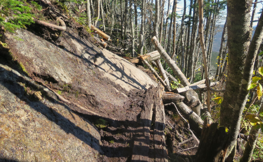
Looking back a couple years, I did much the same hike, but in the opposite direction. Given last night’s activities, I decided today to hike the hardest and highest first, after which, I’d be going downhill for the remainder of the day. What I forgot is that the trail down from Jackson is very rough and rocky, which made for a strenuous descent. The Crawford Path felt a lot less strenuous despite its relative length and greater vertical ascent: I’m not sure I saved anything at all in terms of time or effort going “clockwise.” From the standpoint of “stuff I’d like to get behind me ASAP”, I’d prefer doing the robustly uphill Webster-Jackson section of the hike in the northerly direction next time. Descending via Crawford Path is much more pleasant.
Weather or not, here I come!
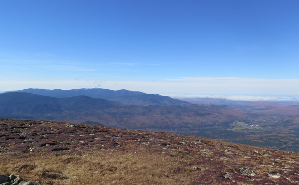
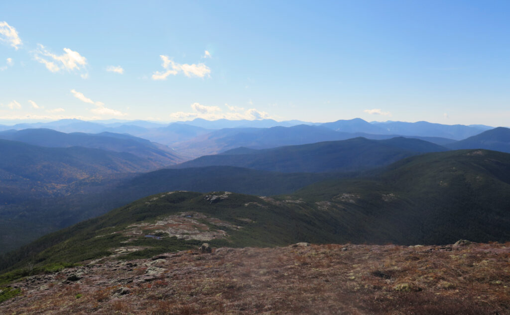
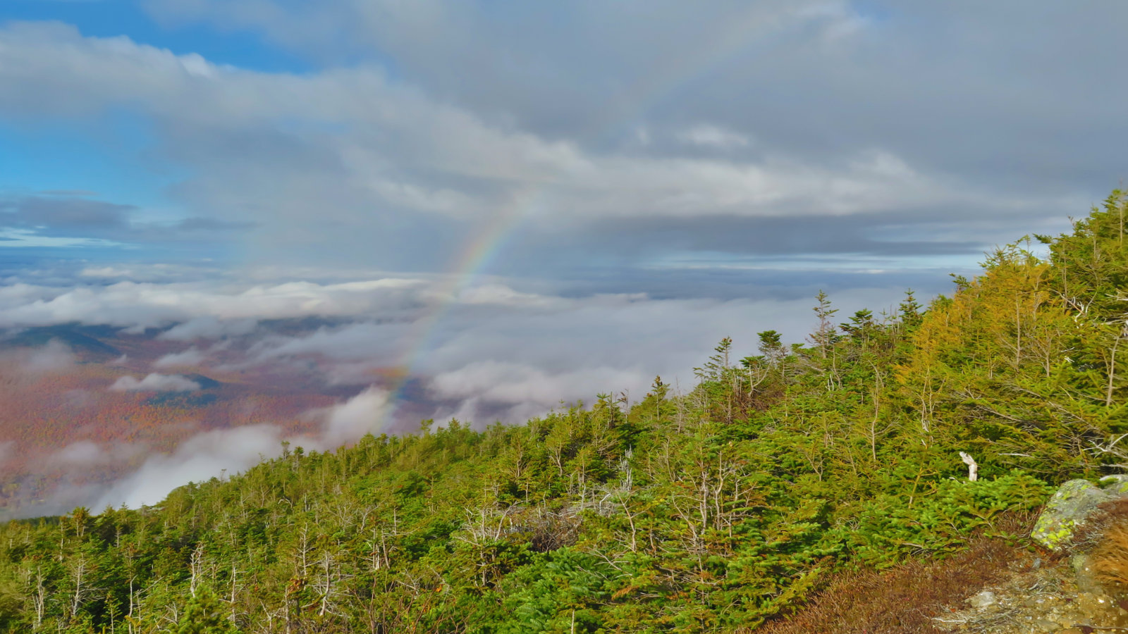
When I first read the Higher Summits Forecast for the day, I was fine with it, although the overall tone was that the day would have merely “good” weather, rather than the “wow, this is truly epic!” that I wound up with. Sometimes, you’re thrilled the prognosticators blew the forecast. In the deepest part of winter, I’m going to be remembering this one. If all I had on my list was something like Eisenhower, I’d have just sat on the summit for an hour long picnic lunch, and maybe enjoyed a nice afternoon nap, too. Really, it was that kind of day. So much warm sunshine on your face really does buoy the mood, and the effects can last long into the next day.
Complications from hiking The Grid.
My grid list is getting complicated. Peaks that I’ve done 4, 5, and 6 times scattered throughout my spreadsheet; I can do this mountain this month, but I need to wait until next month (or even December) to do that other one that I’ve only done four times. I’m aiming for consistency, but it seems determined to elude me. As the tallies for a given month get higher, options for a hike that isn’t duplicating effort get smaller. October is approaching the finish line — I’ve 35 done at this point. It’s “tiptoe through the tulips” time until after Halloween. I have to pick carefully.
As things stand right now, October is closer to completion than the others. Once done, I can dedicate the month to redlining (which I’m keen on doing more of) and maybe even the New England Hundred Highest while I finish the rest of the months. All that means it was nice that I could knock three peaks off one of my to-do lists in one trip.
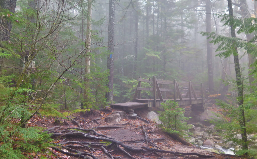
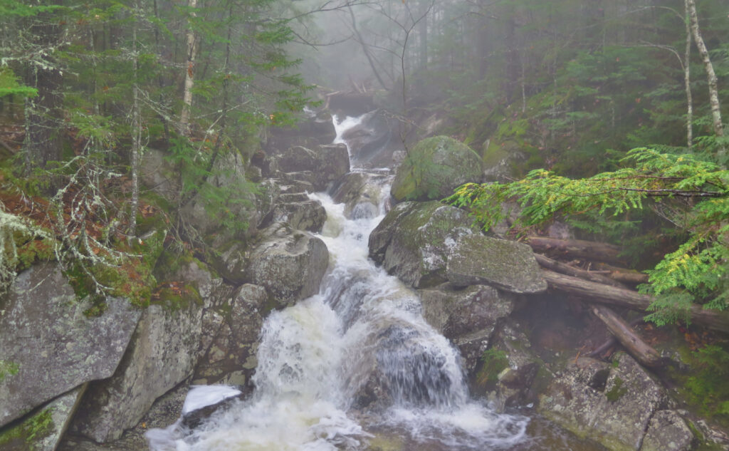
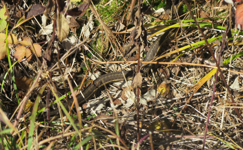
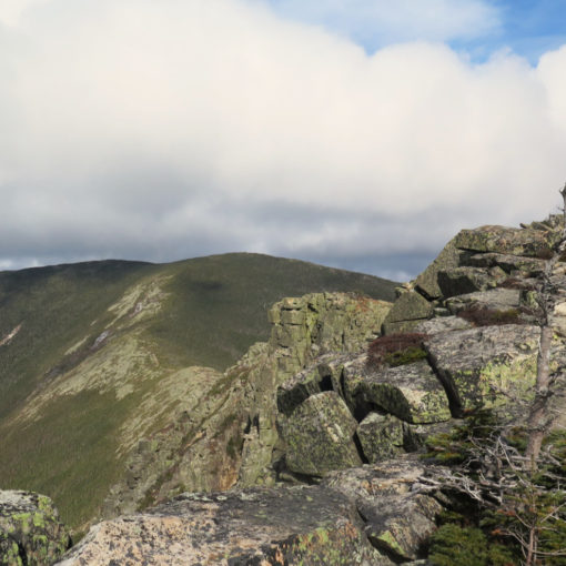
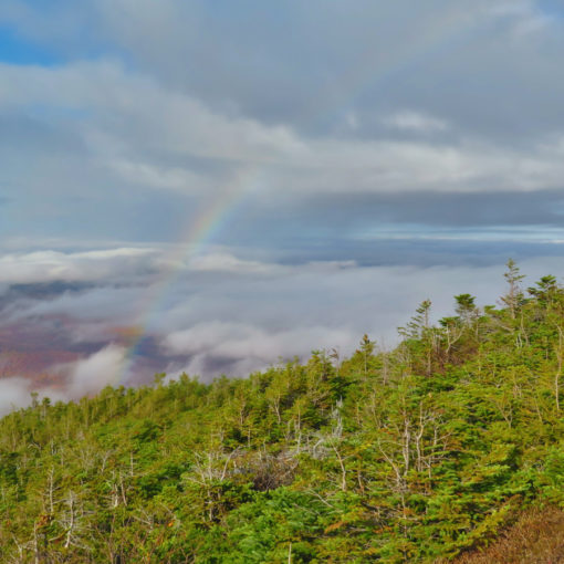
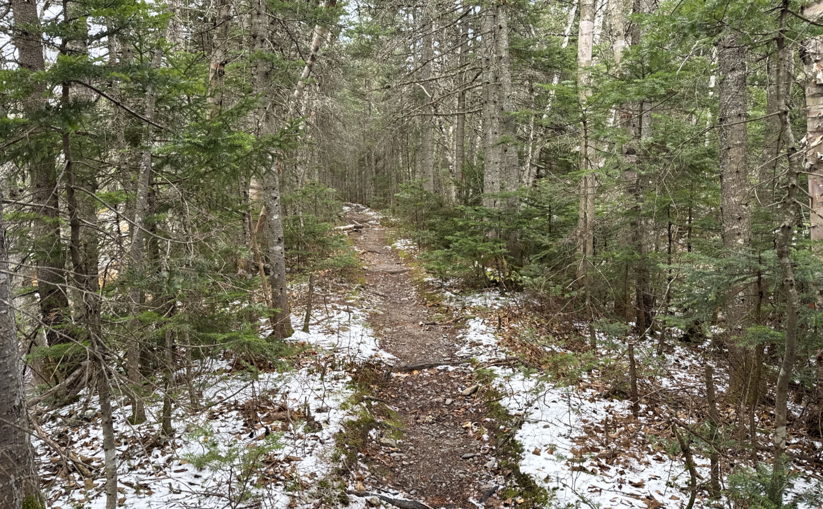
Setting aside the headaches of picking peaks, the outing itself was superlative. Shorts and tee shirt weather, with unbridled sunshine. Some lovely pups living their happiest lives. Views that stretched as far as the curve of the earth. In the forest, soft, verdant moss below, golden leaves above. Sweet birdsong and the rush of cascading brooks. A refreshing breeze. In short, a perfect day to be in the mountains. What a day to be alive!
As always, stay safe out there.
Nuts and Bolts: Exit 93, yadda-yadda, into Twin Mountain. Turn right at Foster’s Crossroads hole-in-the-ground, and follow 302 to the AMC Highland Center. Around that point, you could either park at Clinton Road, or figure something else out nearer the train station or Saco Lake. You decide, but please try to minimize your impact. That area is popular, but the parking situation hasn’t kept up with the times. If things get crazy, people will make rules that we won’t like.
There are different options for summiting the peaks that I’ve enumerated in this post, along with the others in the Southern Presidential Range. A good resource is the well-trodden AMC maps. Either trailhead within a 15 minute walk of the Highland Center will get you to one of those summits. A couple miles up Mt Clinton Road (maybe a 45 minute walk) will get you to the foot of Edmands Path, which is a pretty straight shot to Eisenhower’s summit. But don’t go off half-cocked: get a map, read it, and figure out your route.
On navigating by using apps: I don’t totally frown on them, although I certainly have my favorites; there are also ones I think are utter garbage. (In short, Good: Gaia GPS. Bad: All Trails.) But batteries die and technology fails, especially when dropped in water. Worse, I’ve seen plenty of people who blindly trust the GPS’s arrow, yet are unable to interpret the base map for themselves. It feels truly perverse when people ask you directions while they’re staring at their app with a confused look. Especially when they’re at a junction, standing next to a sign pointing the way, with blazes and cairns seemingly everywhere.
Why am I bringing this up? More and more, I’m meeting hapless hikers, unclear as to which way is up. Recently, someone asked for directions to a waterfall that wasn’t even on that particular trail. (If I have it right, it was on a parallel trail, at least a mile away.) Countless times, people can’t even articulate what trail they started on, or even where they parked. Usually after a couple minutes of conversation, it comes out that their app made a recommendation, and so they headed up the mountain. It’s a lot like when people were driving off roads into lakes and worse, because their GPS told them that was the way to go. Your app has no idea how experienced a hiker you are. (Worse, they hide themselves behind a lot of legal disclaimers.)
I can’t stress enough, especially as winter approaches. The mountains are wonderful places, truly dispassionate. They admit all comers, regardless of station in life, whether you drink decaf, or who you voted for. They also don’t care whether you die on their trails. Confounding your (hopeful) survival, they also pay no heed to the presence of cell phone signal, and have no concern that they might actually be blocking one. (Just as bad are the phone companies, who publish overly optimistic maps of their coverage. Despite all their marketing to the contrary, there is no such thing as cell signal when you’re on Owl’s Head, for example.)
Learning to read a map: resources
Finding your way is essential if you want to live long enough to get back home and tell your friends about your adventures. If reading a map confuses you, please fix that. Some outfitters have periodic classes (if they’re not posted somewhere, ask!) and there are plenty of online resources. Here are a couple that I’ve found that seem on-the-mark:
USDA “How to Read a Topographic Map and Delineate a Watershed” Most of the PDF is related to documenting the presence of a watershed, but the opening couple pages do a good job on reading contour intervals.
Greenbelly “Contour Lines and Topo Maps: Understanding contour line formations and how to read topographic maps.“
Backpacker Magazine “How to read a topo map.“
Map reading is a basic life skill in the mountains, and takes maybe ten minutes to learn the basics, an hour (at most) to become at least passably proficient. It’s certainly not rocket science; maybe on the level of learning how to cook a decent pasta dinner. Once you own that skill, planning trips becomes simple. You can unlock so much more, and in moments, can get a much better understanding of the land you’re passing through, and what to expect from the places you’re approaching. Not the least, but when you’re on a mountaintop, answering the question “what’s that summit over there” becomes easy when you can read a map.
Remember, regardless of any other goal, your ultimate destination should always be your safe return to the trailhead.
If you enjoy reading these posts, please subscribe — stay in the loop! Your email will only be used to alert you of new posts — typically 1-2 times per week. I will not use or share your email for any other purpose without your express permission. And feel free to share via social media using the buttons below.
Find me in the mountains, on this blog, or on Twitter: @Protean_Hiker
Help support this blog! Visit www.photos.proteanwanderer.com to buy some of my signature images.
