Mt Sunapee, South Peak (2,716 feet). Newbury, NH. 2020-05-07 (Thursday.)
Via Andrew Brook Trail, Monadnock-Sunapee Greenway, Sunapee-Kearsarge-Ragged Greenway. Approximately 5 miles round-trip.
55 dF throughout the day. More cloudy than sunny.
Budget about 2 1/2 – 3 hours for the round-trip.
Solitude Without the Long Drive
Looking back, I feel almost as if something terrible happened today, without me knowing about it. There’s really no other explanation why I saw a grand total of about a dozen people all day, especially when it was such beautiful weather. Even accounting for the pandemic, I’ve seen more people on other trails. The lack of hordes of people wasn’t at all a detraction, of course. Apart from being an obvious waypoint on two long-distance hikes, unless I missed something, I don’t think it’s on any of the well known lists, so perhaps that has something to do with it. In any case…
It was a good day out. This was, I think, the longest and the hardest hike I’ve done since breaking my ankle, so I’m feeling pretty good about that. It’s not perfect, but while I’m glad I did only what I did, at the same time, it’s setting things up for longer and harder mileage. Next week won’t be a single-day Presidential traverse, but things are coming along. I hope to be back in the Whites again soon.
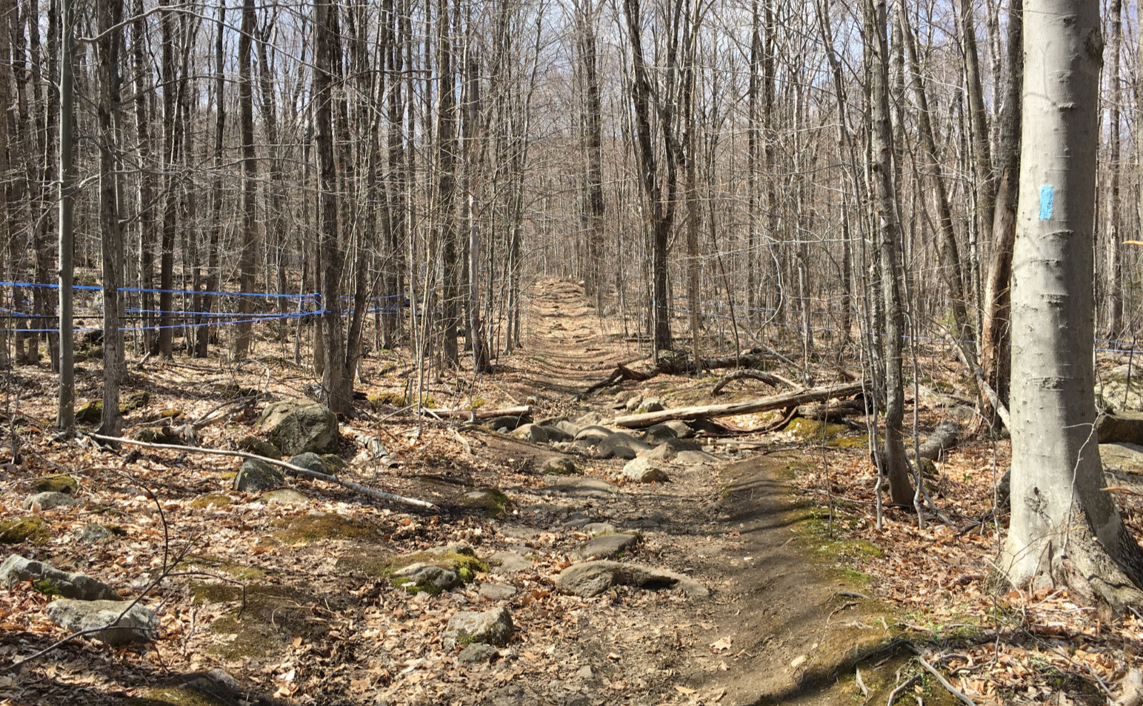
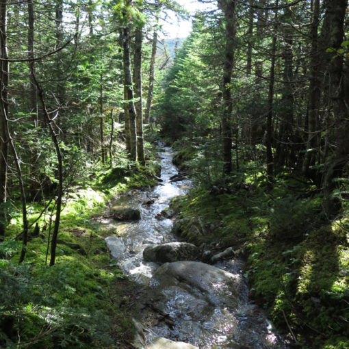
I started out on an easy trail that was carpeted with the usual leaf litter and stuff, and before long, I felt like I was slipping back into my old hiking pace. Down low, there’s an area with a spider’s web of blue plastic tubing throughout the maples, and at one point, right by a water crossing, I had to duck under a main branch of that network. It wasn’t apparent who’s sugaring operation it was, and (admittedly brief) looking around on the web didn’t turn up anything obvious, so there it is. Not like getting local maple syrup is tough in this state, that’s for sure.
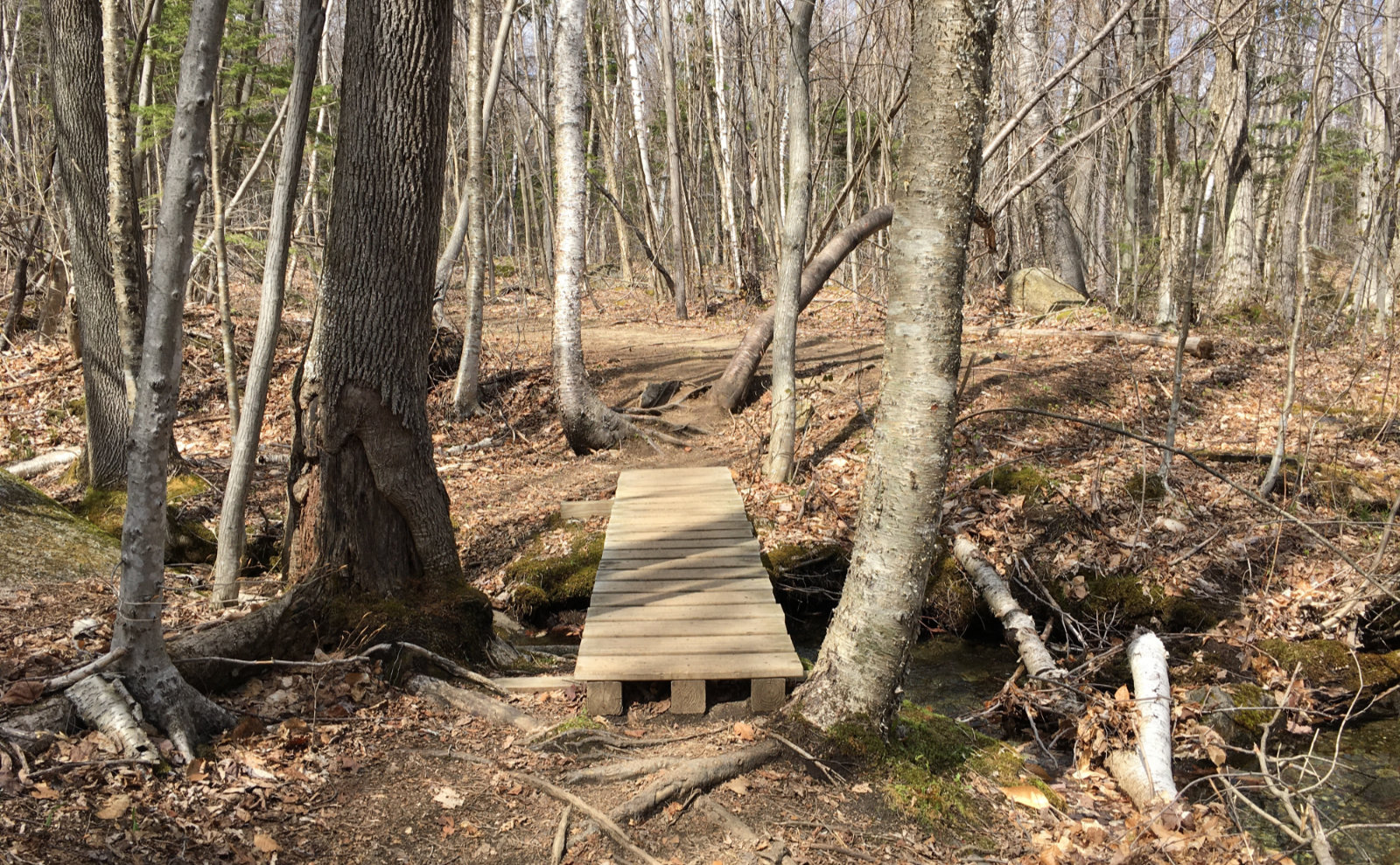
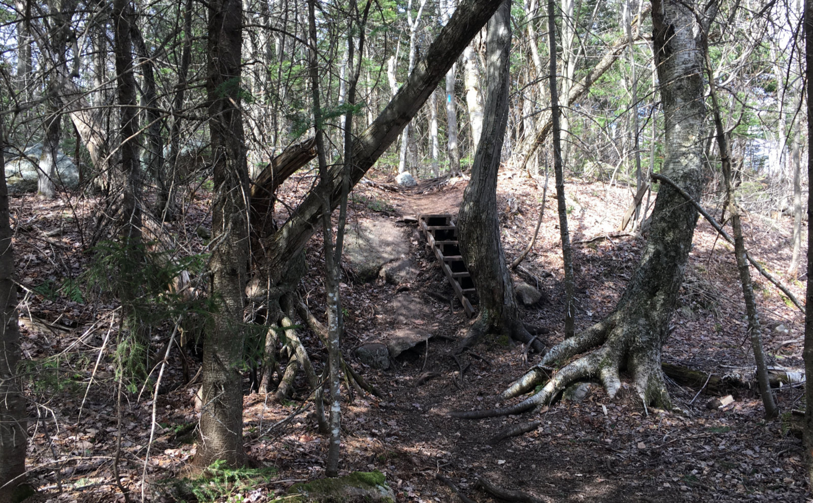
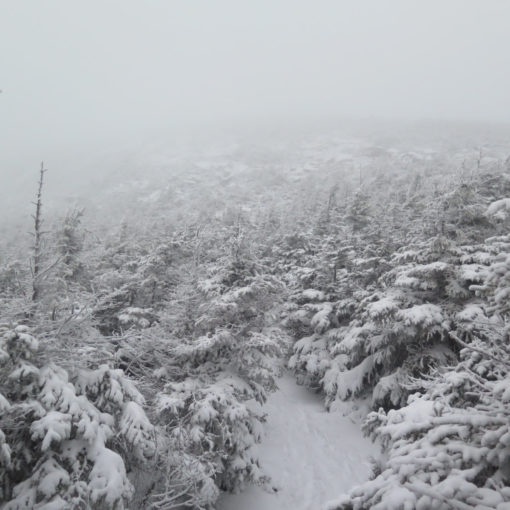
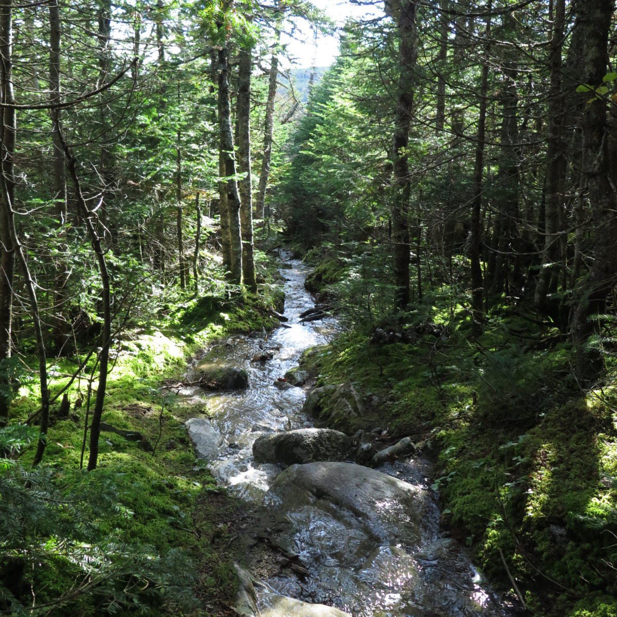
Before long, things pitched upward and became more strenuous. This is still a fairly easy hike by White Mountains standards, but you do experience quite a bit of elevation gain in a short distance. There were stretches of modest rock hopping, but overall, the trail wasn’t terribly rough. One thing that stuck out, and this should be obvious by the trail’s name, but it seemed like I was crossing over a stream or drainage fairly often at times. Nothing was out of the ordinary, but it had me thinking about footing a fair bit. Oh, and just be advised that while the overwhelming amount of the trail was dry, it’s mud season, and there are places where it comes deep and wide. Be mindful of trail erosion, and don’t step off-trail unless there’s no other option.
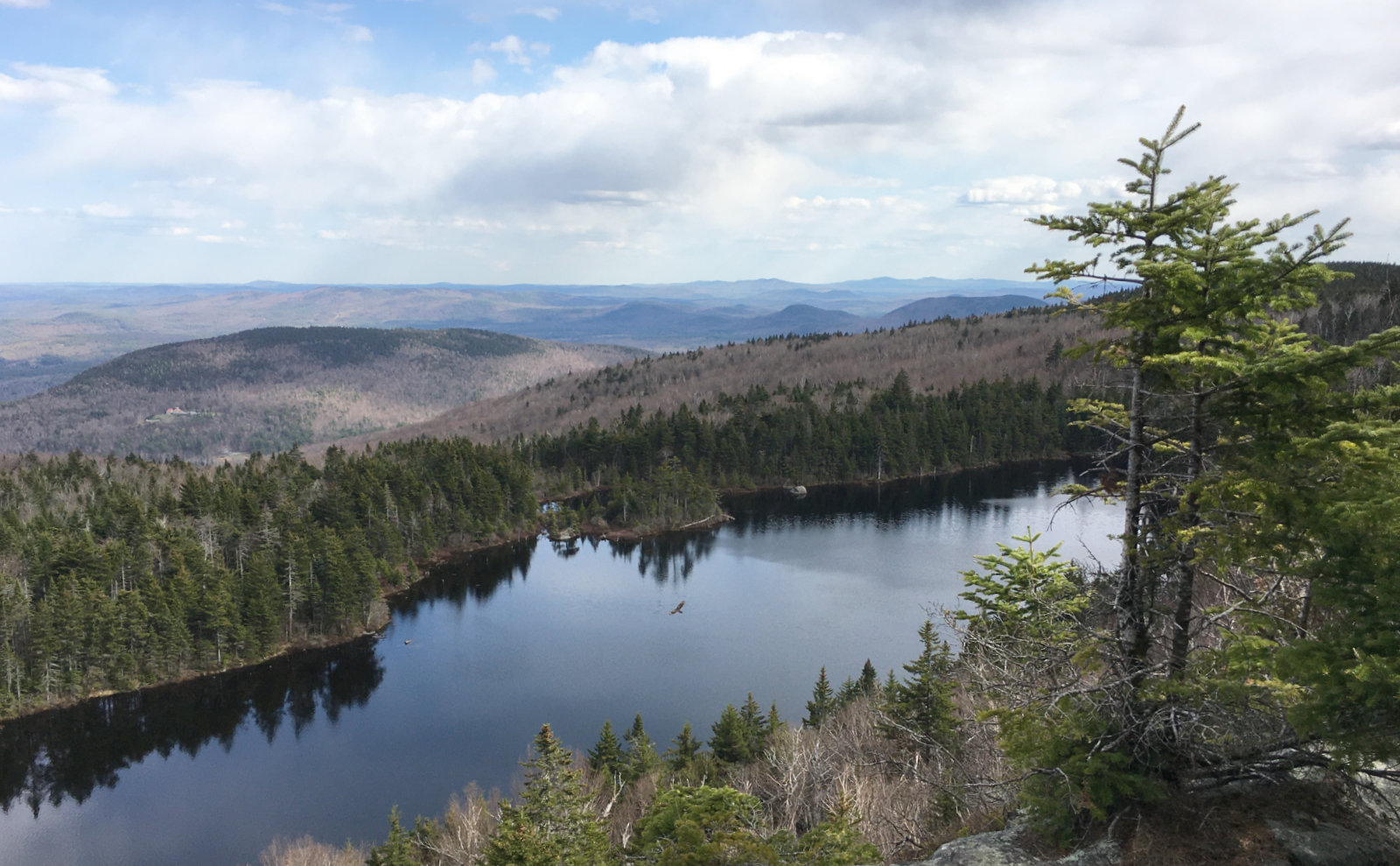
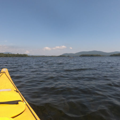
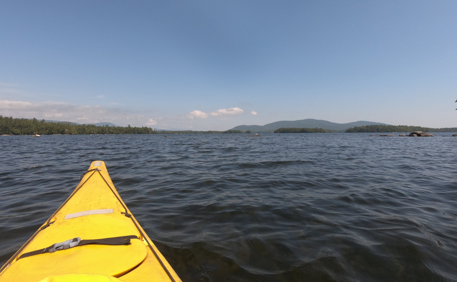
Near the top was the side trail to Lake Solitude. At its shores, I had inspiring views of the sheer rock face of White Ledges above. The water itself was crystal-clear, with only the usual dead leaves on the bottom making it look dark. There’s a sort of clearing just off the trail, and it took me a moment of scanning around to find the trail again. Not much, but a few second’s worth. And so I pressed on.
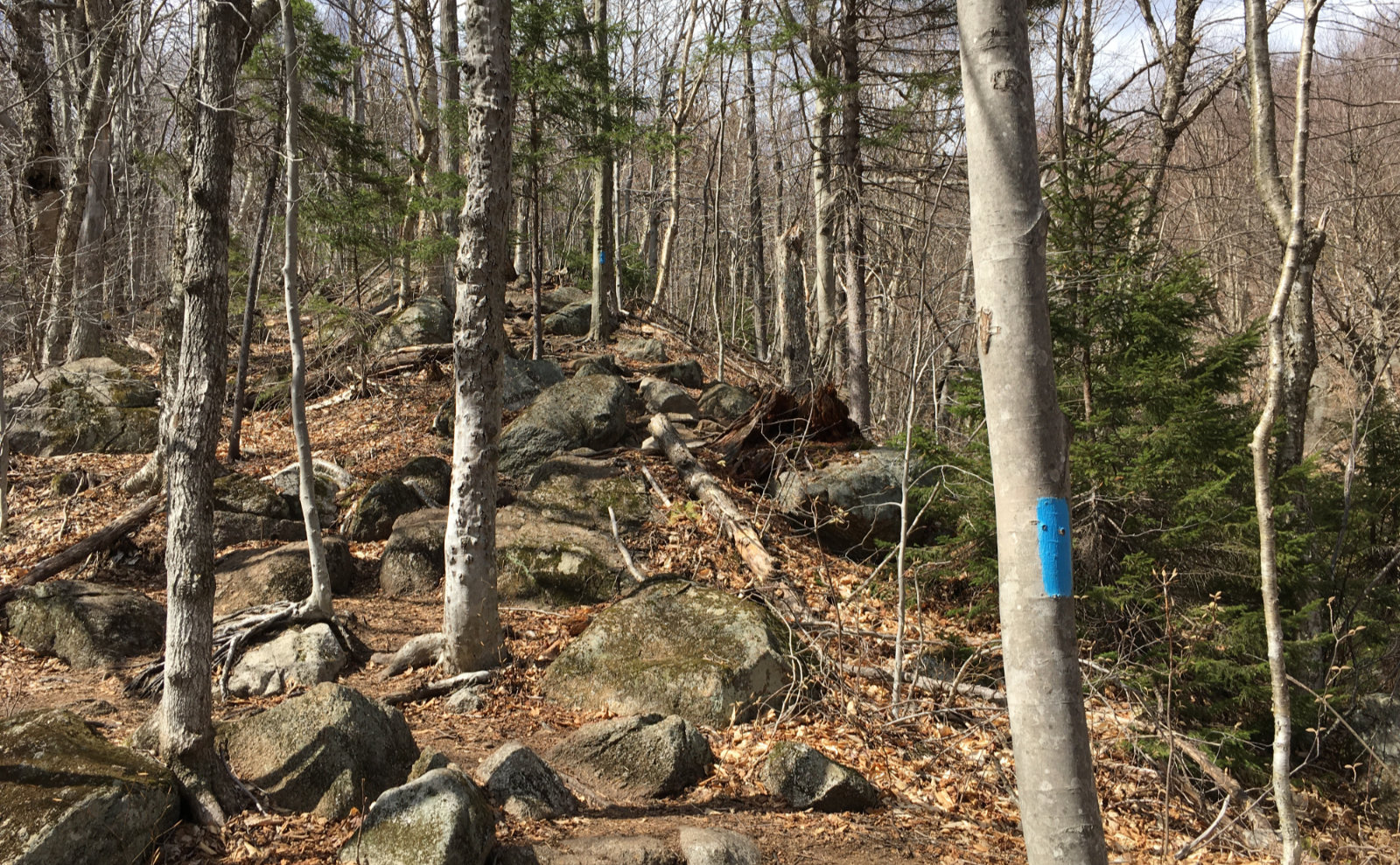
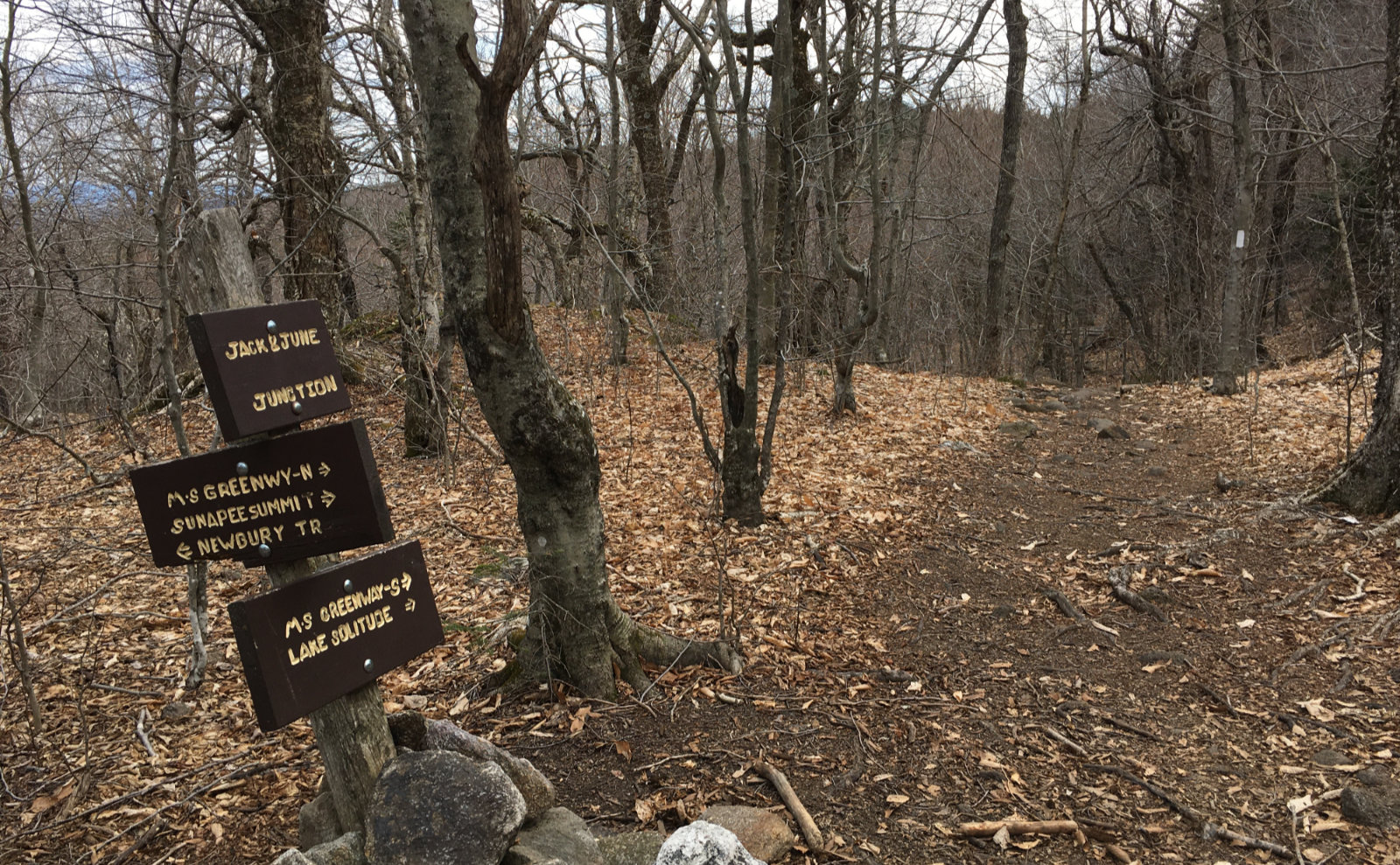
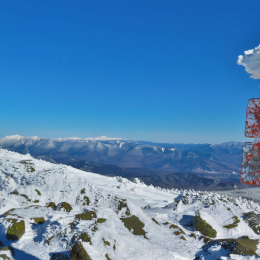
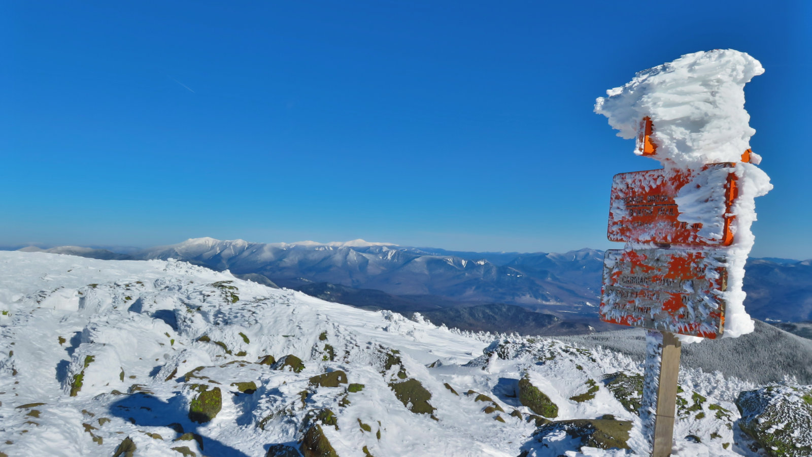
Just by the top, I noted some snow that’s still hanging on, just at the edges of the trail. I’d passed the junction where the Monadnock-Sunapee Greenway had joined in, and not long after, Jack and June junction, where the Sunapee-Ragged-Kearsarge Greenway joins via the Newbury Trail. Look for the trail notes at the bottom, because blazes change in this zone. At the top of South Summit, I poked around in the woods a little, examining moss and such, before deciding to call it a day.
Heading back, I stopped at the upper part of the ledges, and wow, I’m glad I turned back when I did. A couple of very large birds were putting on a show — could have been hawks, or perhaps turkey vultures, I couldn’t tell. (Confounding identification of these feathered friends is the fact that just about every birding guide assumes you’ll be looking at any flying specimen from below, which wasn’t the case for me today.) But in any case, they were soaring around the lake, occasionally landing on some treetops below me, before taking to wing again. It was amazing, and I just stood there watching them, utterly enchanted by the sight.
The rest of the hike down was pretty uneventful. I moved a little faster, assisted by gravity, thinking about how it was on the descent from Mt Adams that calamity struck, and kept an eagle eye out for my footing. I probably paused a little longer any time I had to take a bigger step down, too. I wouldn’t say I’m skittish, but certainly more thoughtful about foot placements.
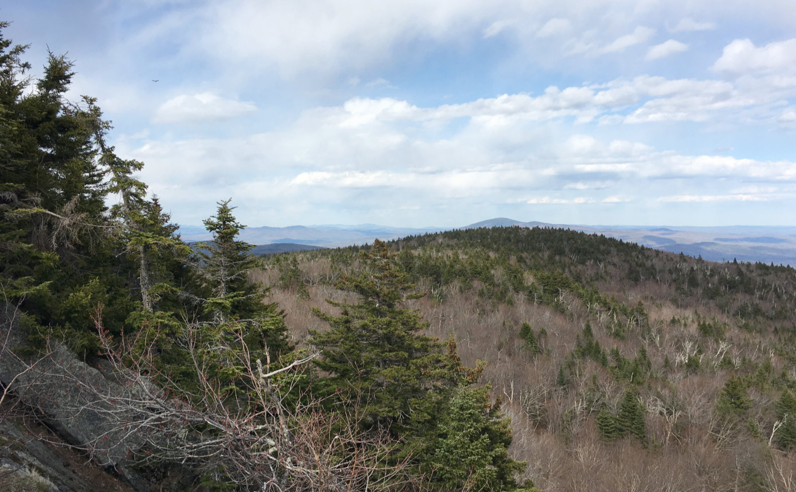
I’m pretty jazzed about this mountain. To be true, I hadn’t been here since I skied it when I was in college, and of course, that was a different experience. The drive up wasn’t terribly long, but long enough. I suspect that kept the crowds away. On the hike down, I reflected on what I regard as “training hikes” — those local-ish outings when I have a few hours to burn, and I don’t want to drive a long way. It was surprisingly easy to get to, and yet offered a lot. Views from White Ledge were amazing. I saw Kearsarge, for sure, as well as Pack and North Pack Monadnock. On a clearer day, I might have seen further than that. I know I saw Red Hill, and I might have seen a sliver of Chocorua. There’s a couple other trails on that mountain that I want to try out, and there are the two Greenways that I’ll be hiking in their entirety at some point. So there’s a lot to like about Sunapee, and I think today’s outing just engraved it on my list of local haunts. Give it a whirl!
As always, stay safe out there.
Nuts and Bolts: Andrew Brook trailhead is about a mile down Mountain Road, which runs off Route 103 on the south side of Newbury. Coming from the north, Mountain Road is about 3 miles from the entrance to the ski area. From the south, it might be a mile or so from South Newbury, but for sure, if you get to the lake, you overshot it by half a mile or so. Head west and when you see a large sign that reads “Andrew Brook Forest” with the Forest Society’s logo, you’re there. A smaller sign will point out that this is, indeed, the Andrew Brook trailhead. Parking is along the side of the road. Please be ambassadors for the sport, and be mindful of the neighbors.
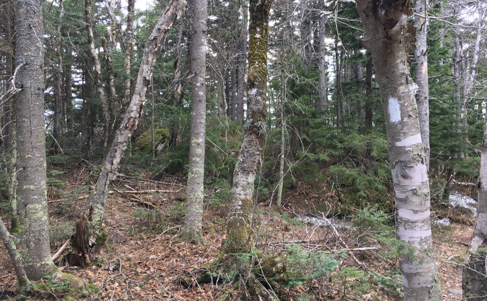
Blazes: Heads up on this one. On Andrew Brook trail, follow blue blazes. When you hit the junction with the M-S Greenway, you’ll be following white blazes. The junction has a large signpost, so you shouldn’t miss it. At the Jack and June junction, there’s a very obvious signpost, as well. The SRK Greenway enters in from the right, and those are white blazes in the shape of a long trapezoid, and they’re made of plastic reflective material that has a forest green border. (I didn’t test it, but I can imagine they’re dead-easy to find with a flashlight in the dark.) Almost everywhere on the trail, if you can’t see a blaze in front of you, one should be visible behind you. There are a few spots where the trail isn’t 100% obvious (either unmarked paths, a convergence of animal trails, or just the understory is remarkably thin in that spot) so when in doubt, carefully walk forward a few steps and the way forward should become apparent. That being said, it’s not a hard trail to follow.
If you enjoy reading these posts, please subscribe — stay in the loop! Your email will only be used to alert you of new posts — typically 1-2 times per week. I will not use or share your email for any other purpose without your express permission. And feel free to share via social media using the buttons below.
Find me in the mountains, on this blog, or on Twitter: @Protean_Hiker
2 thoughts on “Trip Report: Finding Solitude on Mt Sunapee”
This one is a favorite when I want a fun hike with great views, and a lot of water for the dogs! Only 30 minutes from my house in Concord. Great post. Thank you!