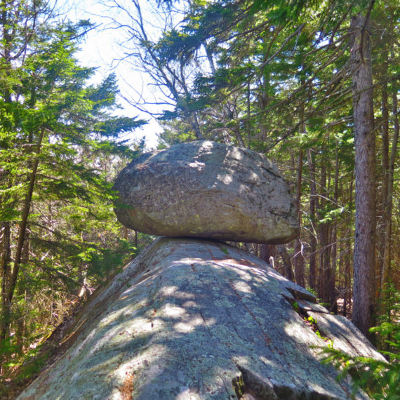
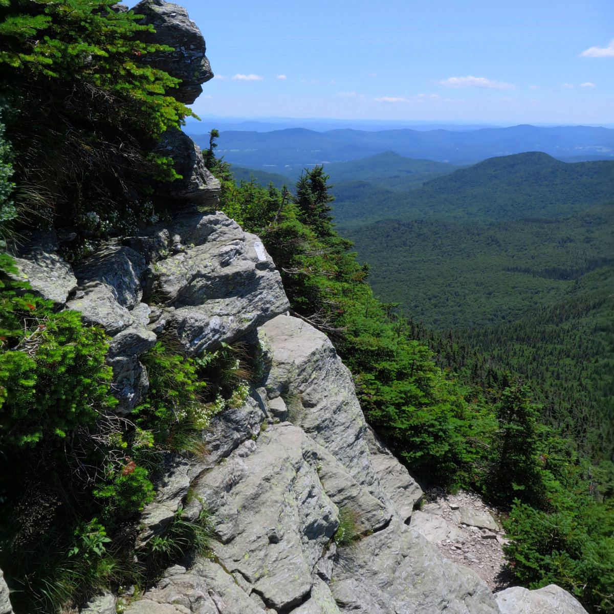
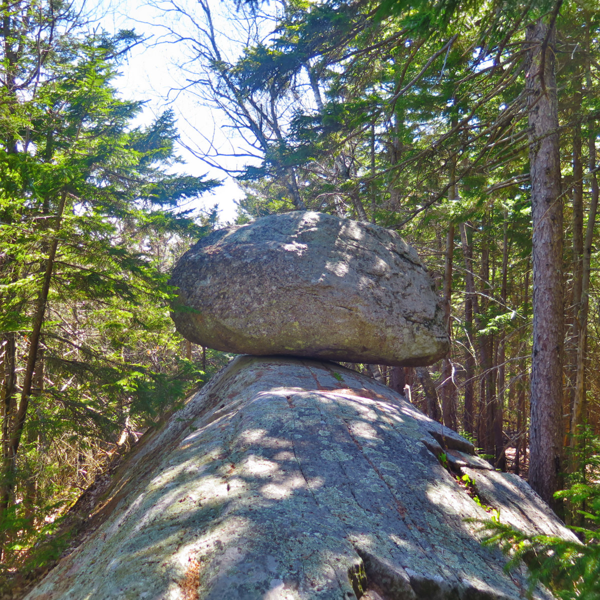
Ragged Mountain is tough, to be true, but its views both far and near make it well worth the effort.
Wildflowers
29 posts
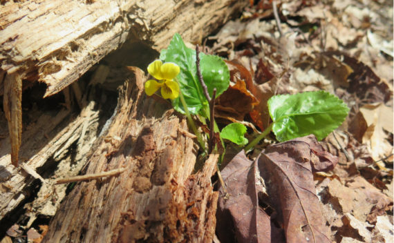
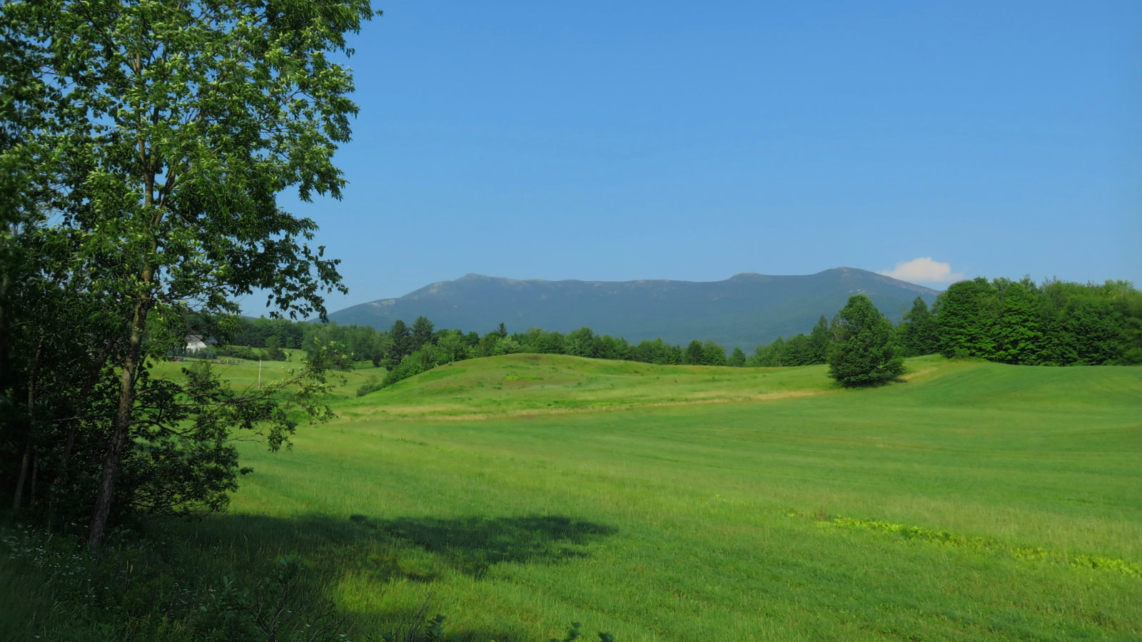
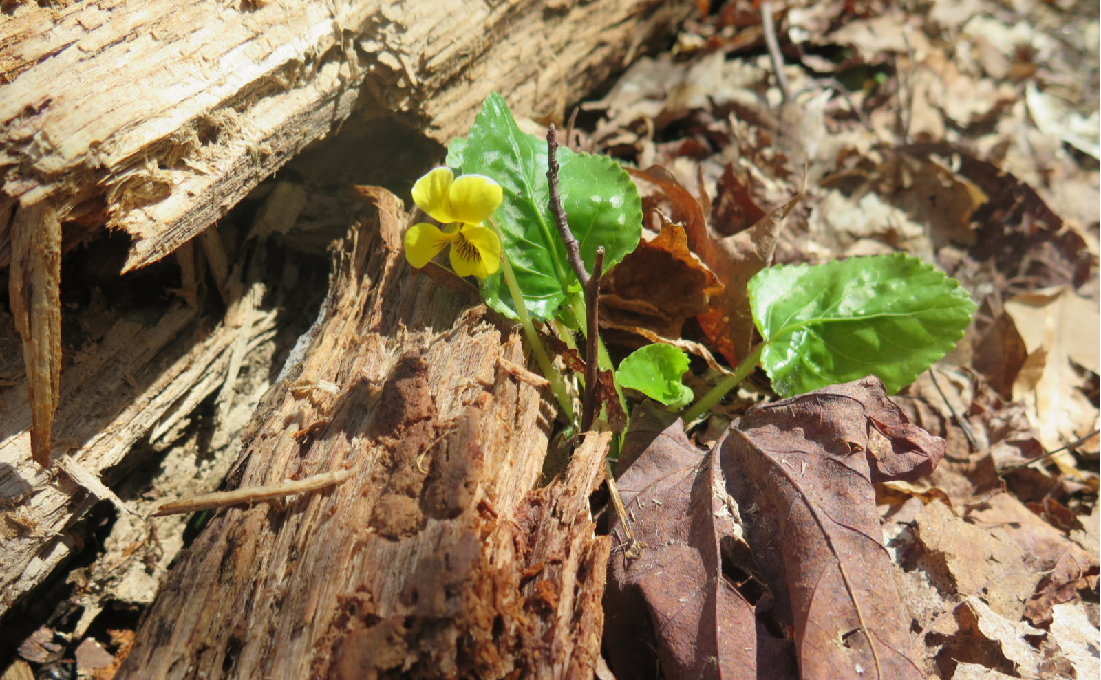
Wildflowers on Mt Sunapee — spring has sprung! It was certainly worth coming back for a second hike on this fine mountain.
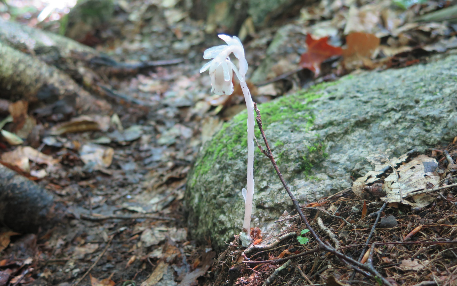
Owl’s Head is far enough into the Pemigewasset Wilderness that you need to take weather changes into account. But even though you may not summit, you might just find a few pleasant surprises along the way.
Baxter State Park is a place where the pictures take themselves, and they tell their own story. Here’s mine.
An easy hike with stellar views. We encountered more mud than we’d have liked, but with unbridled sunshine, it was a fantastic day on the mountain.
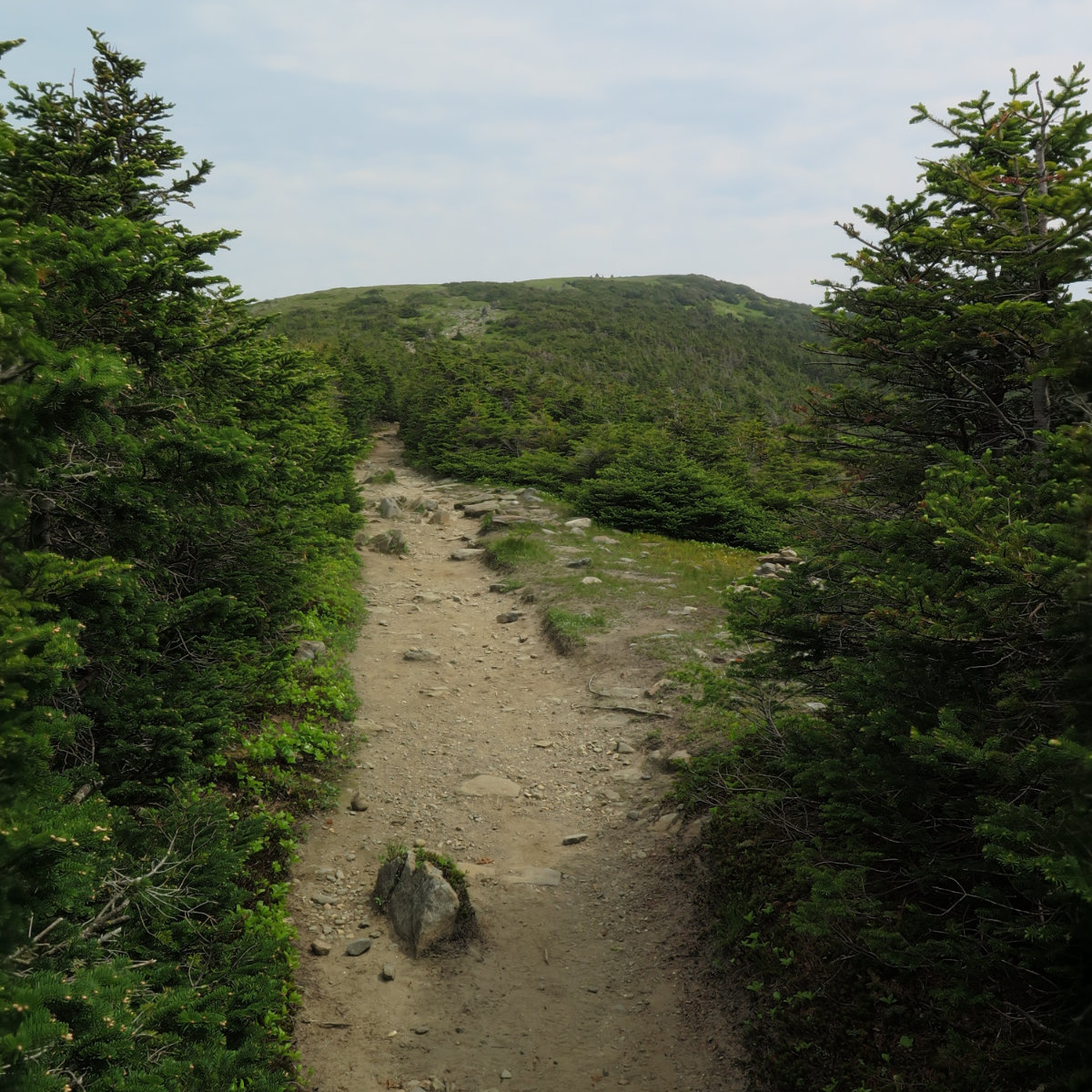
On a long-lost ski area. Saddleback Mountain, 4120 feet. Saddleback Horn, 4023 feet. Sandy River Plantation, Franklin County, Maine. Temps ranged between 70 and 85 degrees, sunny/cloudy, pleasantly breezy above tree line. RH approx 50% When I was doing the 48, having a dozen or so peaks left felt different than now, doing the 67. It just feels like there’s less weight… less of an urgency to finish. But finish […]
A peak was sought. And so much more was found. Mt Washington; 6288 feet. Sargent’s Purchase, NH 80 dF at trailhead, 75 dF at summit. Sunny/hazy skies and 50 miles visibility. Very light intermittent breezes at summits — approximately 2-4 MPH. Via the Tuckerman Ravine trail, and Lion Head trail. Trailhead: 1230. Summit: 1530. Left summit: 1600. Car: 1830. Approximately 9 miles. I’m a sucker for a good cause. Given […]
A long twofer. Mt Abraham, 4006 feet. Mt Ellen, 4083 feet. Lincoln, VT. 80 dF at trailhead, 80 dF at summits. Sunny/hazy skies and 30 miles visibility. Very light intermittent breezes at summits — approximately 2 MPH. Via the Long trail. Trailhead: 1040. Abraham Summit, 1215. Ellen Summit: 1440. Car: 1840. Approximately 12 miles. It felt longer than it was; certainly for “only” two peaks. I’m still nursing an injury, […]
A fine day for a short hike! Camel’s Hump Mountain, 4083 feet. Huntington, VT. With a side trip to the B-24 bomber wreckage. 75 dF at trailhead, approx 80 dF at summit. Sunny skies and 30 miles visibility. Breezy at summit — approximately 5-10 MPH. Via Burrow’s, Alpine, and Long trail. Trailhead: 1100; Summit, 1215. B-24 wreckage: 1245. Car: 1500. Approximately 6 miles. On the one hand, not having the […]
And so it begins again… Mt Mansfield Chin, 4,395 feet. Underhill, VT. With a hike along the ridge to the Forehead. 82 dF at trailhead, approx 88 dF at summit. Hazy to start, giving way to mostly sunny skies and 20 miles visibility. Breezy at summit — approximately 10-15 MPH. Via Eagle Cut trail, CCC road, Sunset Ridge trail, Long Trail, and Halfway House trail. Trailhead: 1020, The Chin: 1300, […]
Short, hard, but sweet! (Yet hazy!) Mt Moosilauke. Approx 9 miles. 4,802 feet. 60 dF at trailhead, approx 60 dF at summits, 30 MPH winds above tree line. Sunny throughout, with a hazy overcast sky. Visibility approx 10 miles, max. Very windy at the summit — approximately 25-30 MPH. Trailhead: 0900. Summit: 1115. Car: 1330. This couldn’t have been more straightforward. Hike Glencliff trail up and down. It’s not “hard” […]
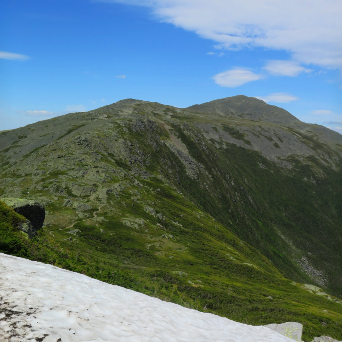
It was a long, hard day. Mt Jefferson, Mt Adams, Mt Madison. 2018-06-16 (Saturday.) Via the Sylvan Way, Amphibrach, Randolph Path, Jefferson Loop, Gulfslide Trail, and Valley Way. Approx 14 miles. Jefferson 5,716 ft, Adams 5,799 ft, Madison 5,366 ft. 60 dF at trailhead, approx 60 dF at summits, 30 MPH winds above tree line. Sunny throughout, with a bit of hazy overcast sky. Trailhead: 0930. Jefferson summit: 1415. Adams […]