
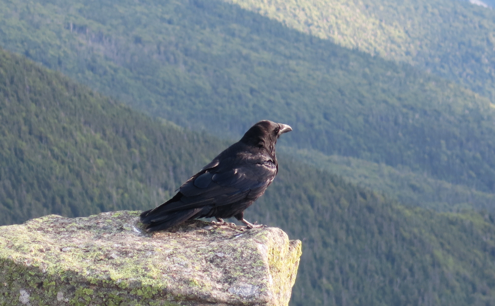
Mt Washington is known to have its way with hikers, and its weather is notoriously fickle. Sometimes this force of nature is for the good.
Appalachian Trail
35 posts
Sometimes you don’t know whether you liked something or not, until you’ve had some time to think. And yet, you know everything was fine.

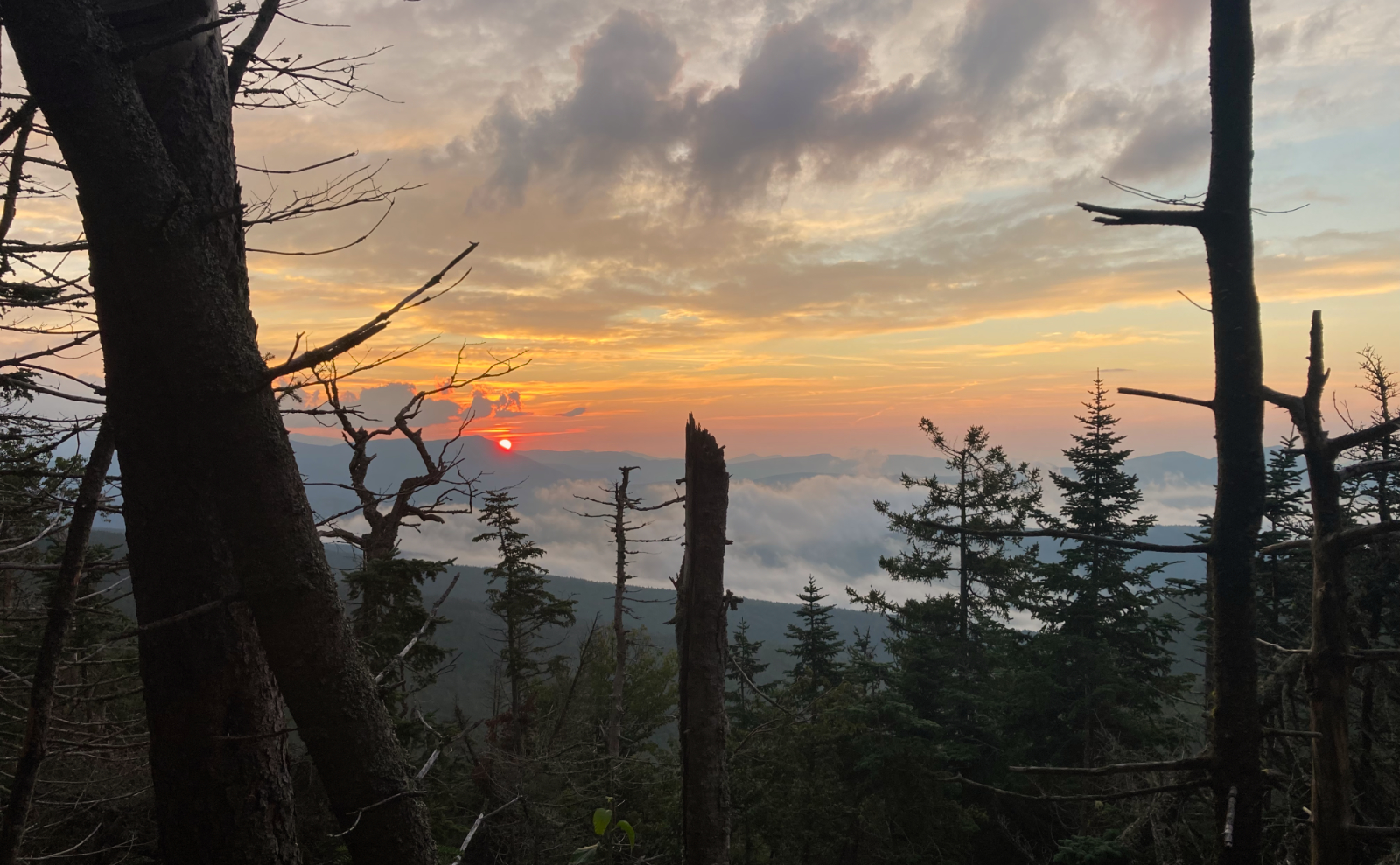
How do you describe perfection? Maybe start with things that are more fundamental. Like a three day hike. Golden sunsets. Stars like diamonds.

Why suffer the hardship, the pain, the miles of the Pemi Loop? What’s there? Oh wow, lots.
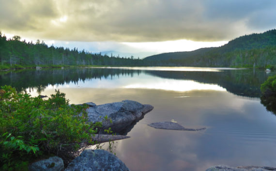
Sometimes you look up and see clouds. You hike up, and see something more.

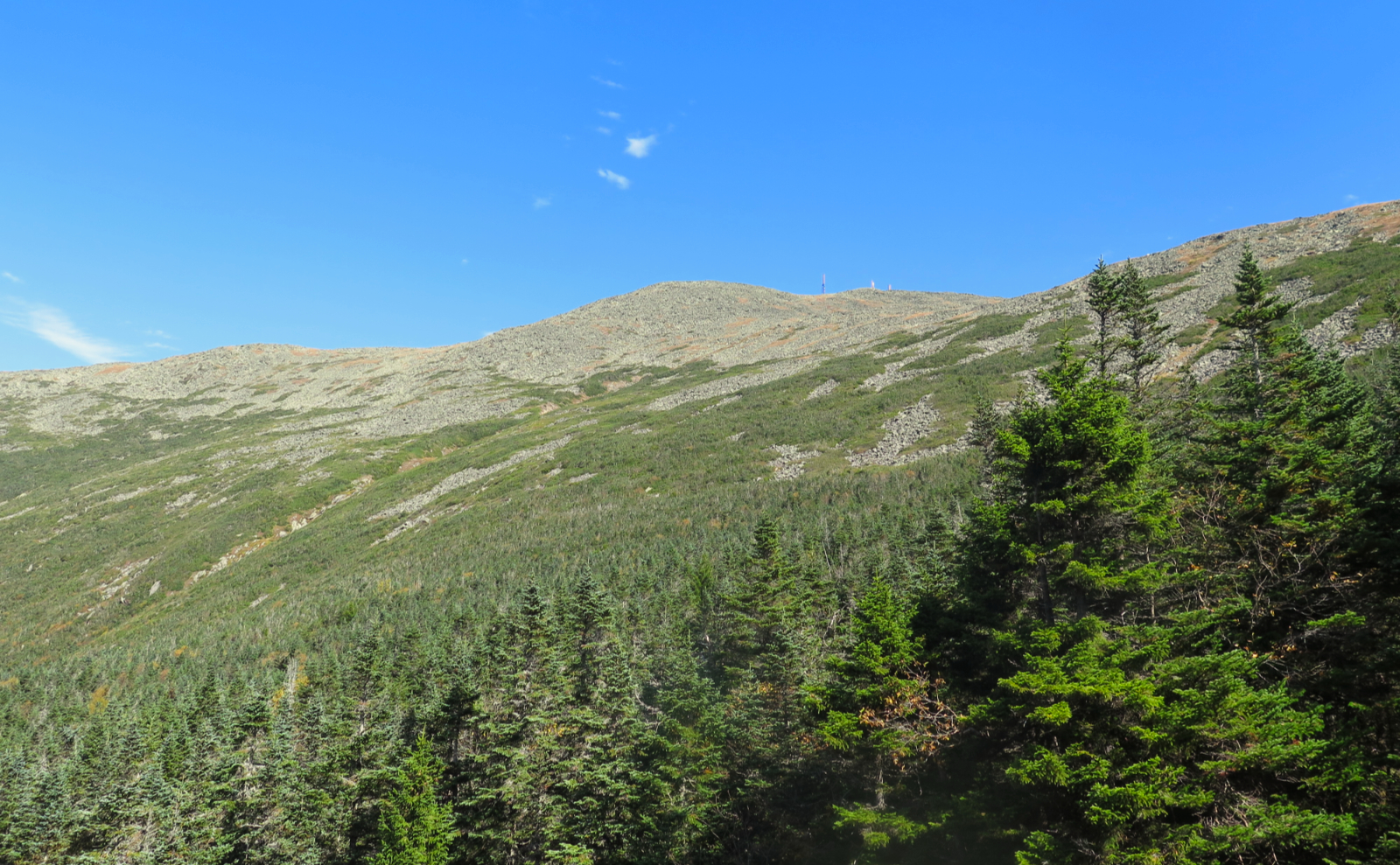
And then there were none. I finished my winter 48, and my fourth season, on the most bluebird of bluebird days.

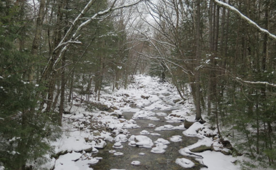
An attempt at a trail is usually Type II fun. Obviously, you went there with a goal, but something happened. Powder snow. Step-slide, step-slide gets old quickly.
The Twinway heading up from Galehead is one of the steepest trails in the Whites. Is it hard, or just steep?
When you leave unfinished business from the south, why come in from the north? What makes West Bond any more special than the others?
This turned out to be a fair bit longer a trip than I expected. On the whole, this wasn’t a bad thing.
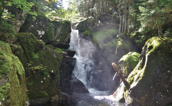
Two years ago, I hiked out to Thoreau Falls from the west, along Ethan Pond trail. Now, let’s see what the eastern half looks like…
Galehead was harder than I remembered from my first trip. It’s also easier than I remembered, too. And despite the clouds, I can’t wait to come back.