Crotched Mountain (2,024). Francestown, NH. 2020-05-14 (Thursday.)
Via Summit Link, Summit East, and Summit West trails. 6 mile loop.
Quiet, Calm, Contemplative.
TEMP 65 dF. Wind was negligible if any at all. Almost completely unbridled sun throughout the day.
Trailhead: 1430. Car: 1700.
Approx 1,275 feet of elevation gain.
I’ve driven by the mountain I don’t know how many times. With my focus having turned to stuff in the southern half of the state, it was probably inevitable that I’d hike it. And I’m happy to report it was totally worth it. For anyone coming from Nashua, Manchester, or Concord, this is worth putting on your radar. Tall? Nope. Broad, expansive views? Not from these trails. But it’s a hike that’s simple, for those days when you need simple, and as a bonus, it’s a very easy drive to get there. Is there anyone out there, especially these days, who wants excess complexity?
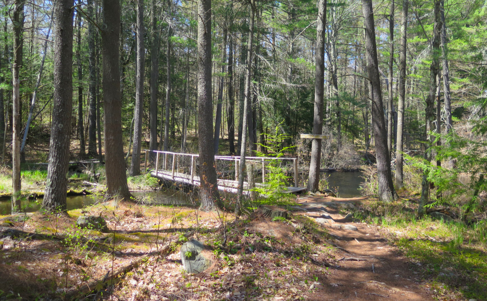
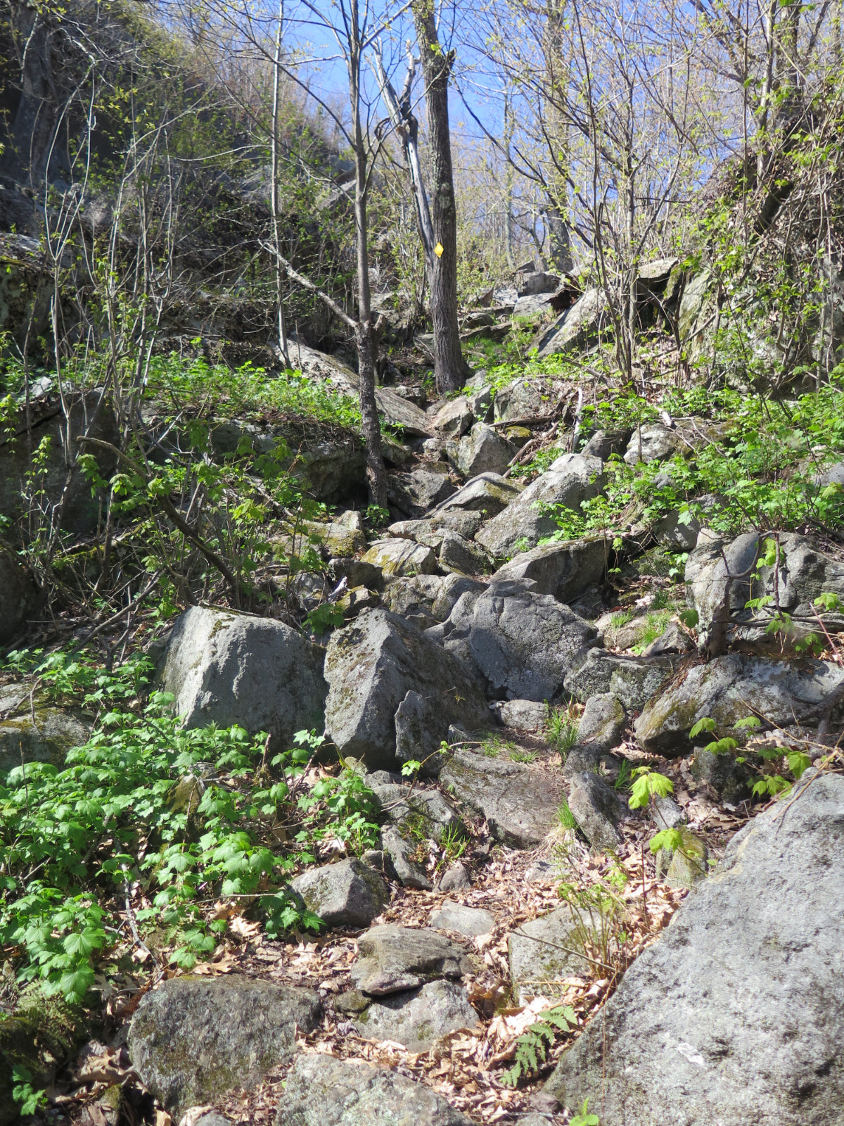
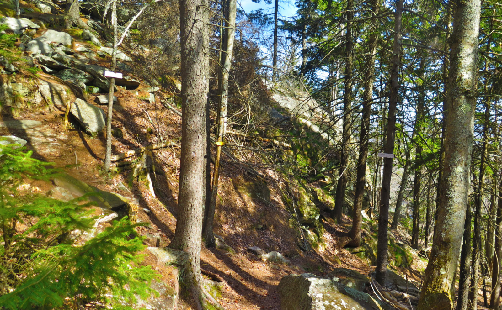
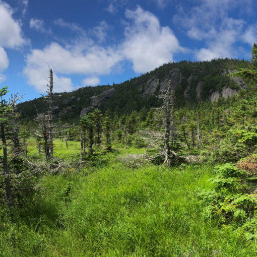
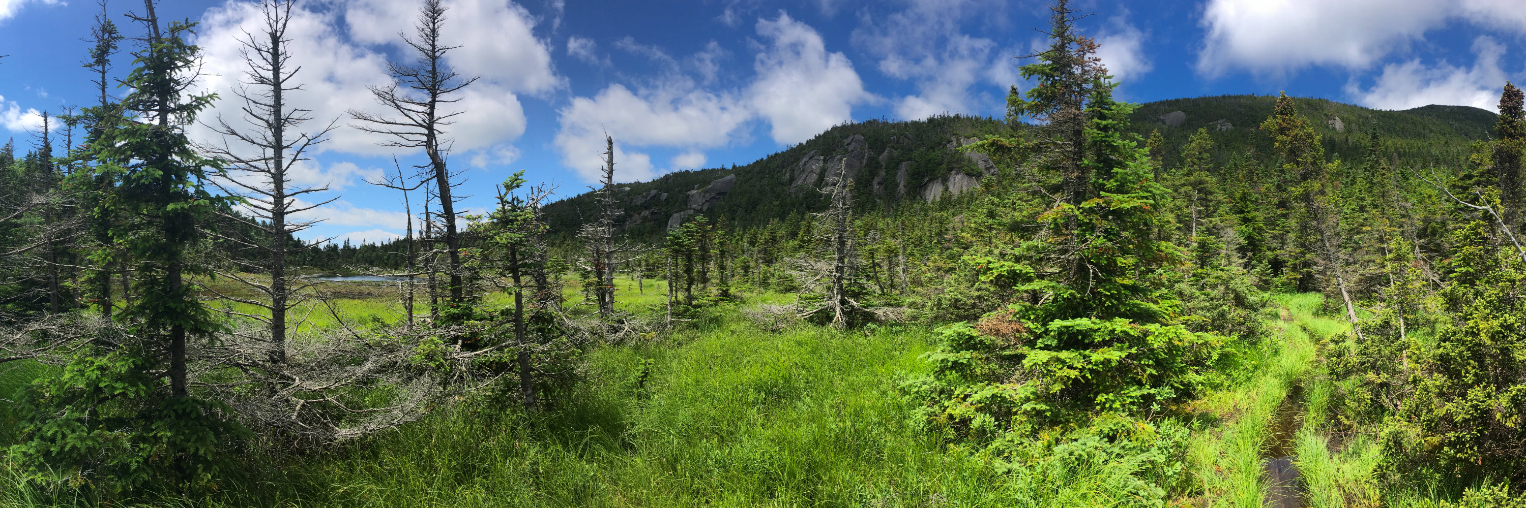
I’m going to remember a very friendly trail. To be fair, it’s shaped like a hockey stick, so there is some mildly strenuous hiking tossed in the mix. But apart from a small amount of outright rocky hiking, everything is pretty much on soft (dare I say springy) duff.
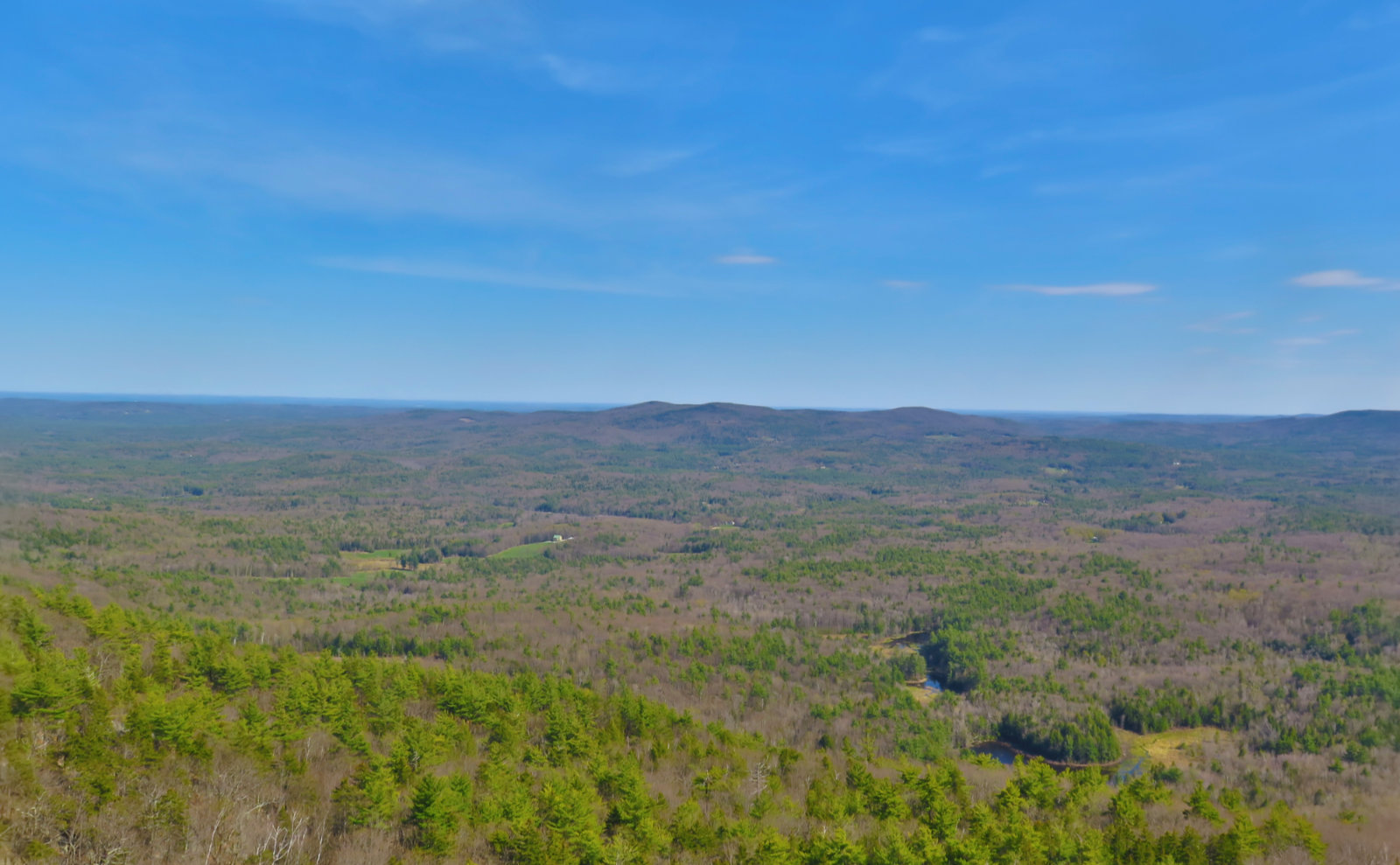
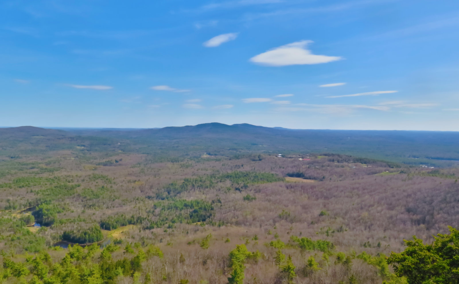
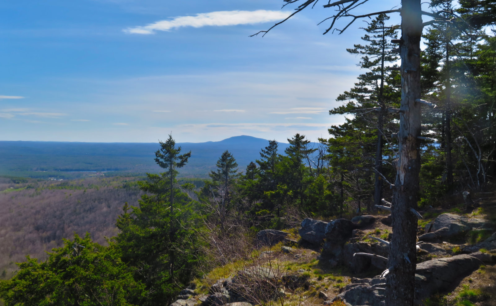
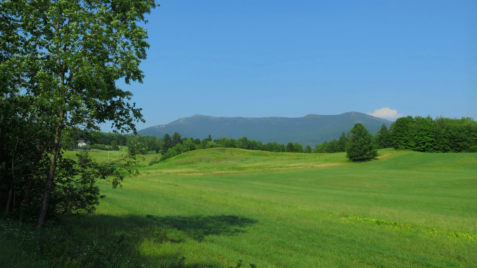
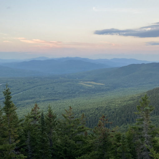
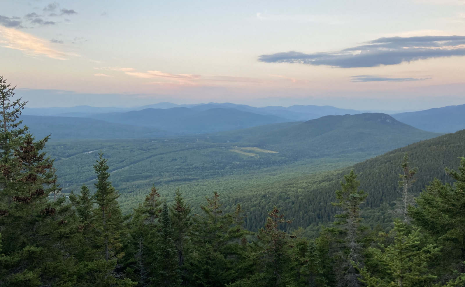
There were a couple views of the mountains to the south — I had stellar views of the Monadnocks, and of the Uncanoonucs, which was nice. Today was clear enough that I could make out the Hancock Tower and the Prudential Building in Boston. Thinking about that makes me realize it’s been some time since I’ve seen those buildings. There it is, today featured at least a two-state view.
Along the way, I heard voices ahead, and then a lovely pup came along, wondering if I was friendly. (Answer: Yes!) Came around the bend, and there were three women, out having a grand old time on their local mountain. Their other dog was just as friendly. We shared some thoughts about hiking, and went our separate ways. This wasn’t the day to bump into a lot of people, but I did see perhaps eight to ten souls out enjoying the afternoon. Just busy enough to add interested, plenty empty to allow for solitude.
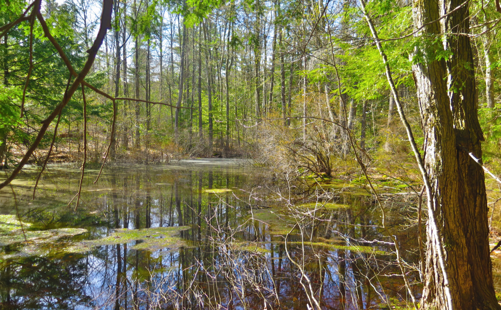
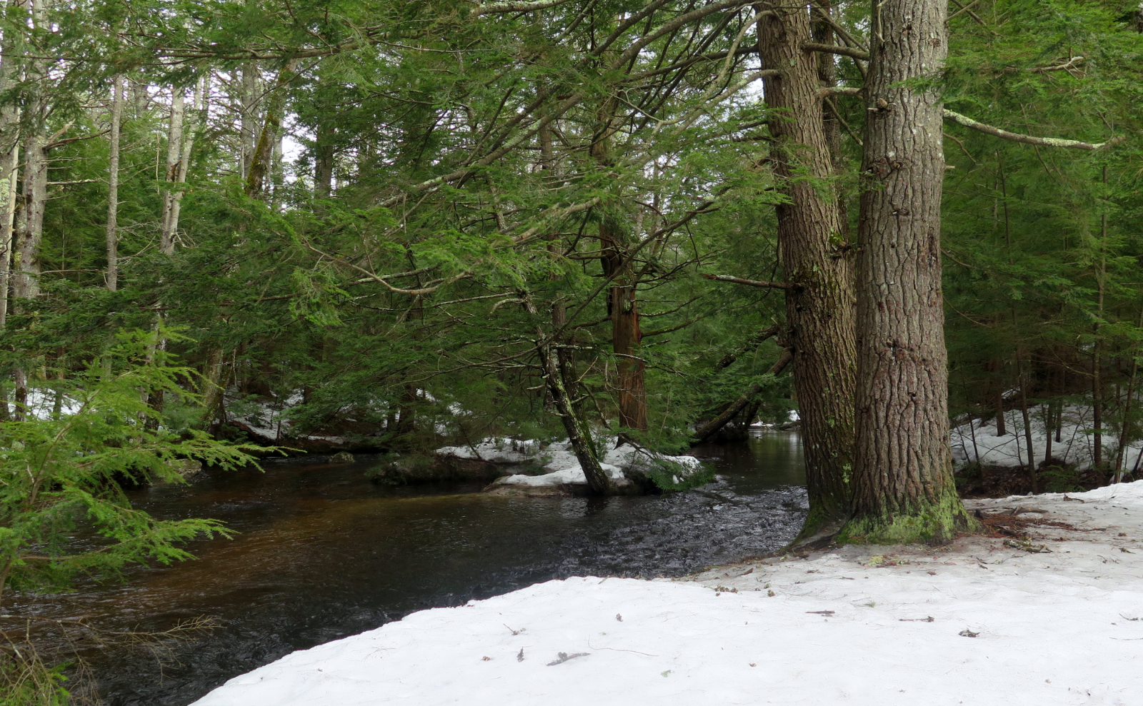
And so a couple hours or so after heading out, I got back to the car. I never crossed over the Link Trail to the tippety-top, where the ski area is, but just the same, it was a fine outing. This is a mountain that you don’t need to summit in order to have a fine day. I found yet another hike that skips the long drive, and while the view is not at all comparable to the mountains up north, or even from Monadnock just a few miles away, that trail was so pleasant to walk on, and the forest was so peaceful and becalming. It’s about time I stopped driving past that mountain.
As always, stay safe out there.

Nuts and Bolts: The trailhead is easily found, not far from the border of Francestown and Greenfield, on Route 136 and Farrington Road.
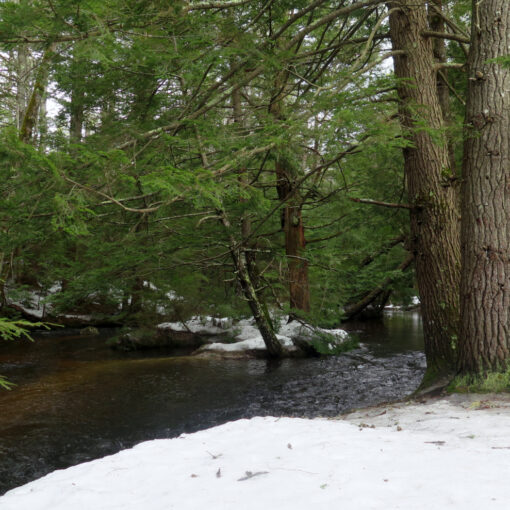
The trail seems to split almost as soon as you leave the trailhead. Bear left. After that, the way forward will be obvious at all junctions. There are quite a few points where you’ll cross a dirt road, or another trail, or some such, but generally the correct way is “straight ahead.” Blazes are yellow plastic tags nailed to trees, and are wildly abundant — I had a hard time counting more than 100 paces between any two, and many are far closer than that. The trail itself is well worn across its length, but for a couple places. Mud shouldn’t be much of an issue. There are a few small spots, but other than a couple simple water crossings, this is a mostly dry trail.
<iframe src=’https://www.gaiagps.com/public/IZocgc7YuNnnYxlNbcwSNGNZ?embed=True’ style=’border:none; overflow-y: hidden; background-color:white; min-width: 320px; max-width:420px; width:100%; height: 420px;’ scrolling=’no’ seamless=’seamless’></iframe>
If you enjoy reading these posts, please subscribe — stay in the loop! Your email will only be used to alert you of new posts — typically 1-2 times per week. I will not use or share your email for any other purpose without your express permission. And feel free to share via social media using the buttons below.
Find me in the mountains, on this blog, or on Twitter: @Protean_Hiker
3 thoughts on “Trip Report: Quietude on Crotched Mountain”
It was nice meeting you at Crotched Mountain! Our dogs were so very happy that you were indeed friendly!!! Your blog appears to be a fantastic resource. I will forward your link along to friends. Be happy and well! Best wishes to you. Lynn
It was nice meeting you folks, and your intrepid pups, too! Please share my blog with all your hiker friends. The more, the merrier. Hope to see you on the trail again sometime!