Flora and fauna, oh my!
Smarts Mountain, Lyme, NH. 2019-05-27. (Memorial Day)
Via Lambert Ridge Trail, Ranger Trail. 3,240 feet.
65 dF +/- partly cloudy becoming cloudy late in the day. Wind at the summit on the fire tower was approximately 20 knots.
Trailhead 1330; Summit 1600; back at car: 1800.
Approximately 7.5 miles.
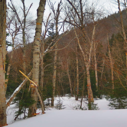
I found myself with some unexpected free time, and so the obvious thing was to do what everyone else does on Memorial Day — go outside and enjoy the weather. It took me a bit to get out of town, due to having to dodge the parade, but finally, the open road, and at last, the trailhead. I was reminded of finding the more out of the way trailheads in Maine on this one. Dorchester Road is unpaved for a substantial portion, and although Dartmouth is actually fairly close by, it feels like a more remote trailhead than ones in the Whites.
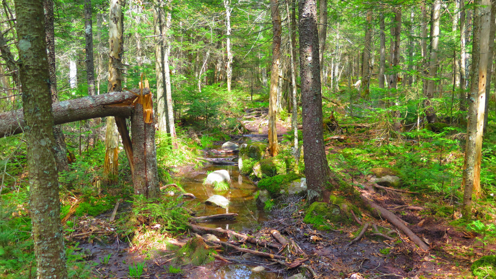
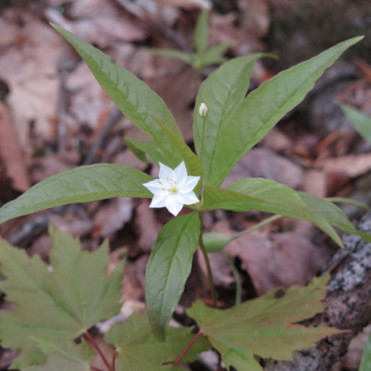
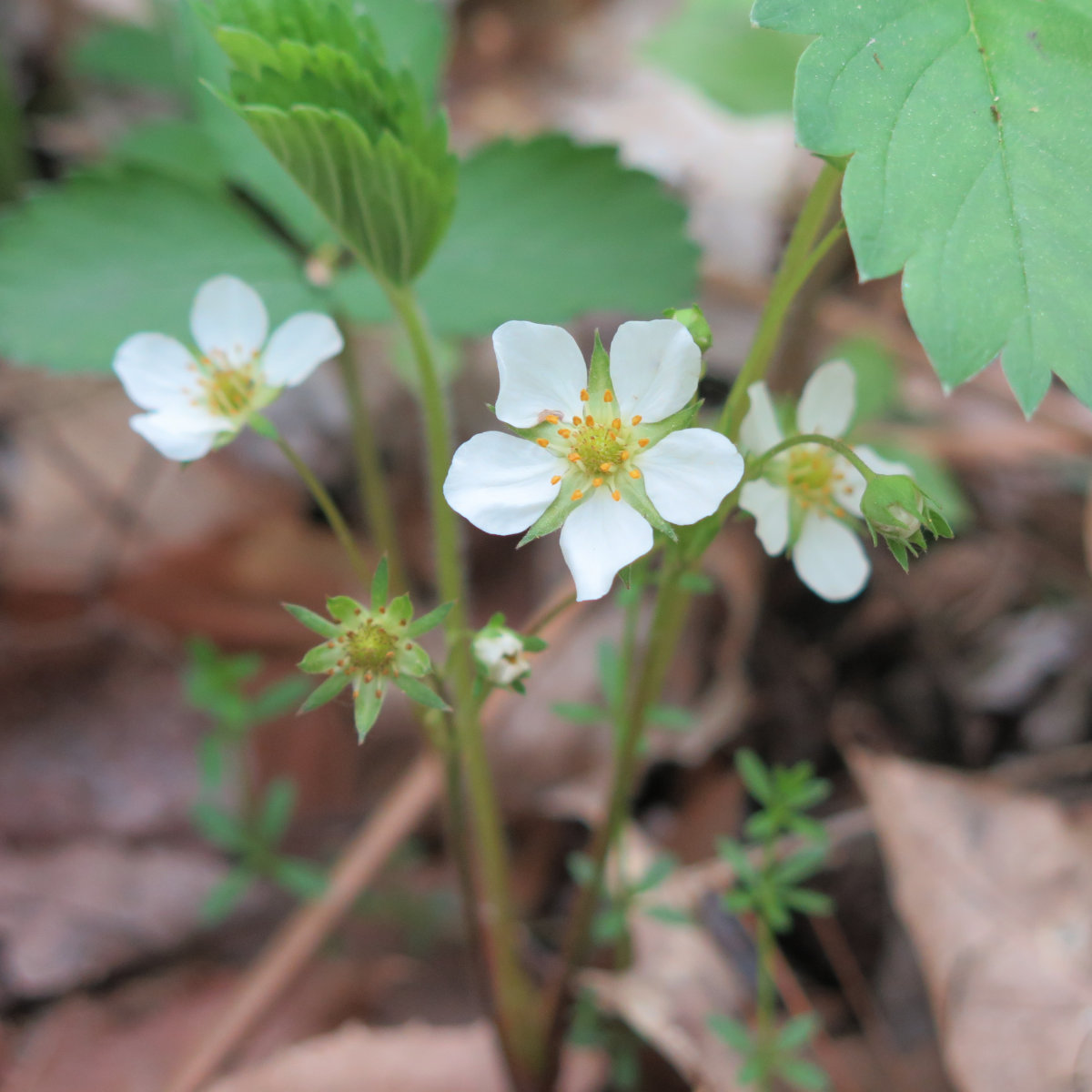
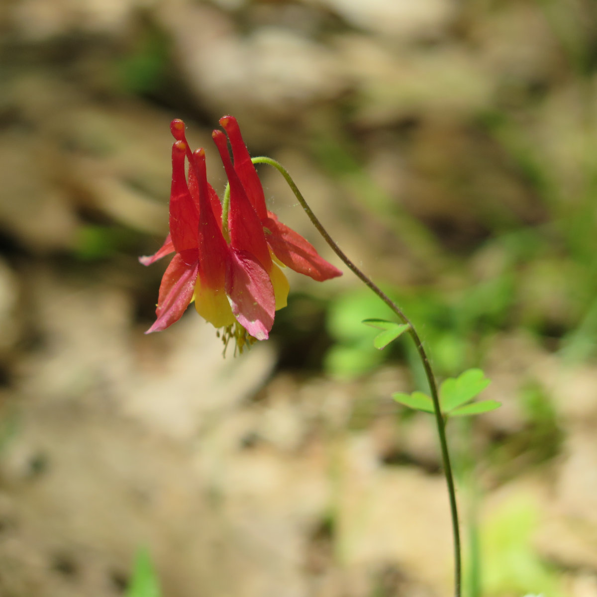
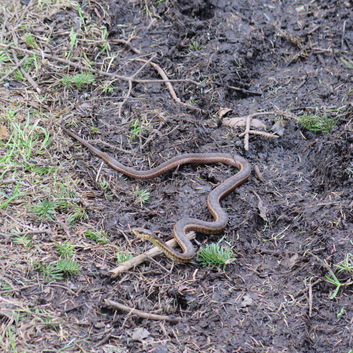
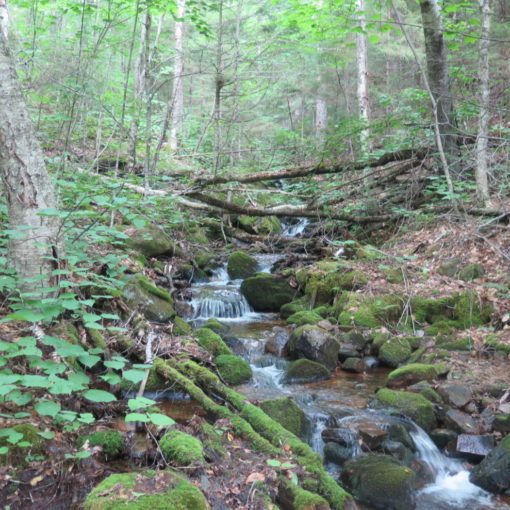
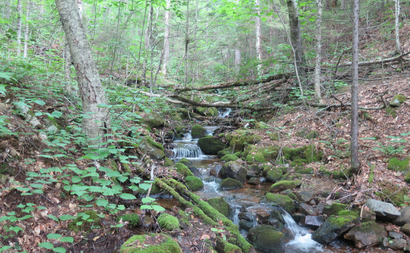
So, first off, it’s springtime. The trail is muddy, and black flies are on the rampage. The wind did help with the latter, but for a fair bit of the trail, stopping puts you at risk of being attacked. Be warned.
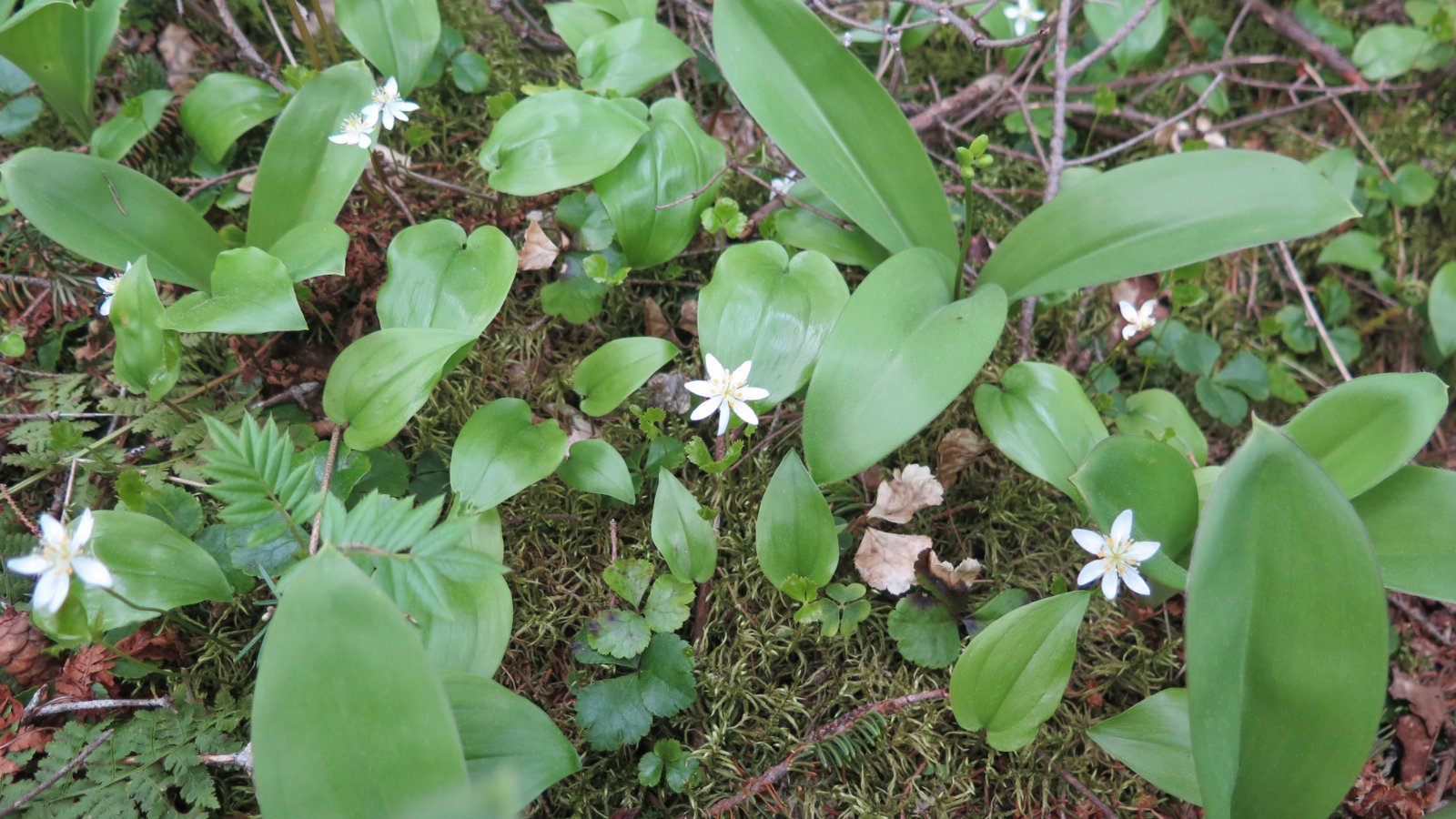
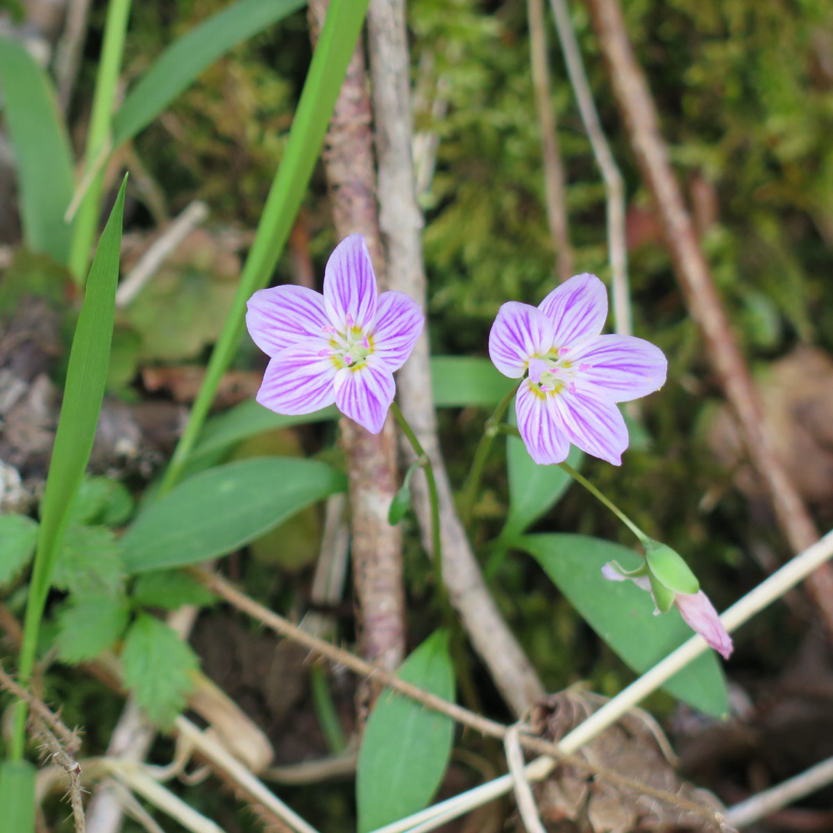
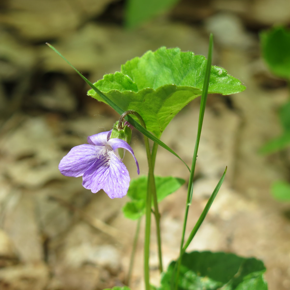
But it’s springtime, and that means blooms! All winter long, no flowers. Now, flowers. The photos took themselves, and so, without further ado…
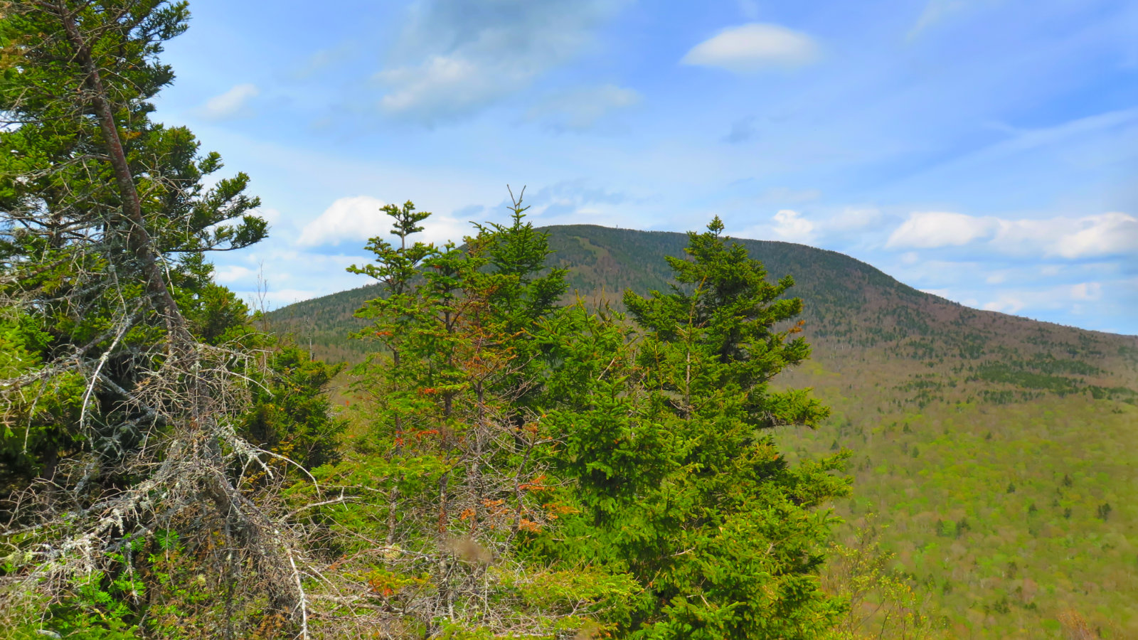
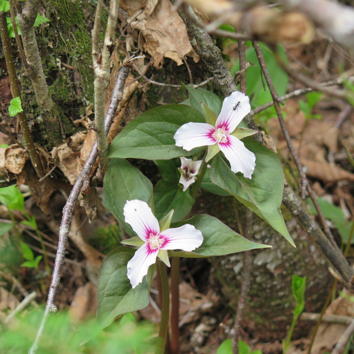
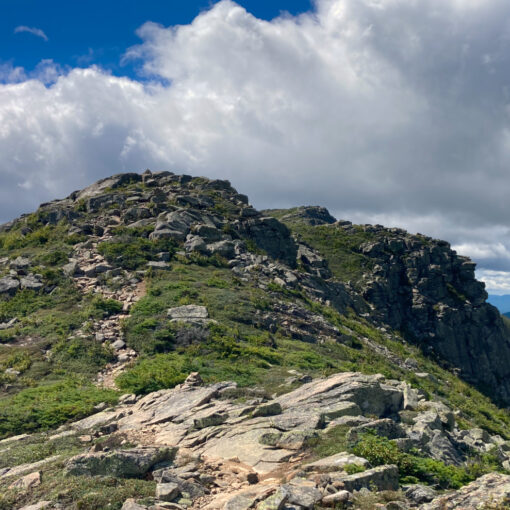
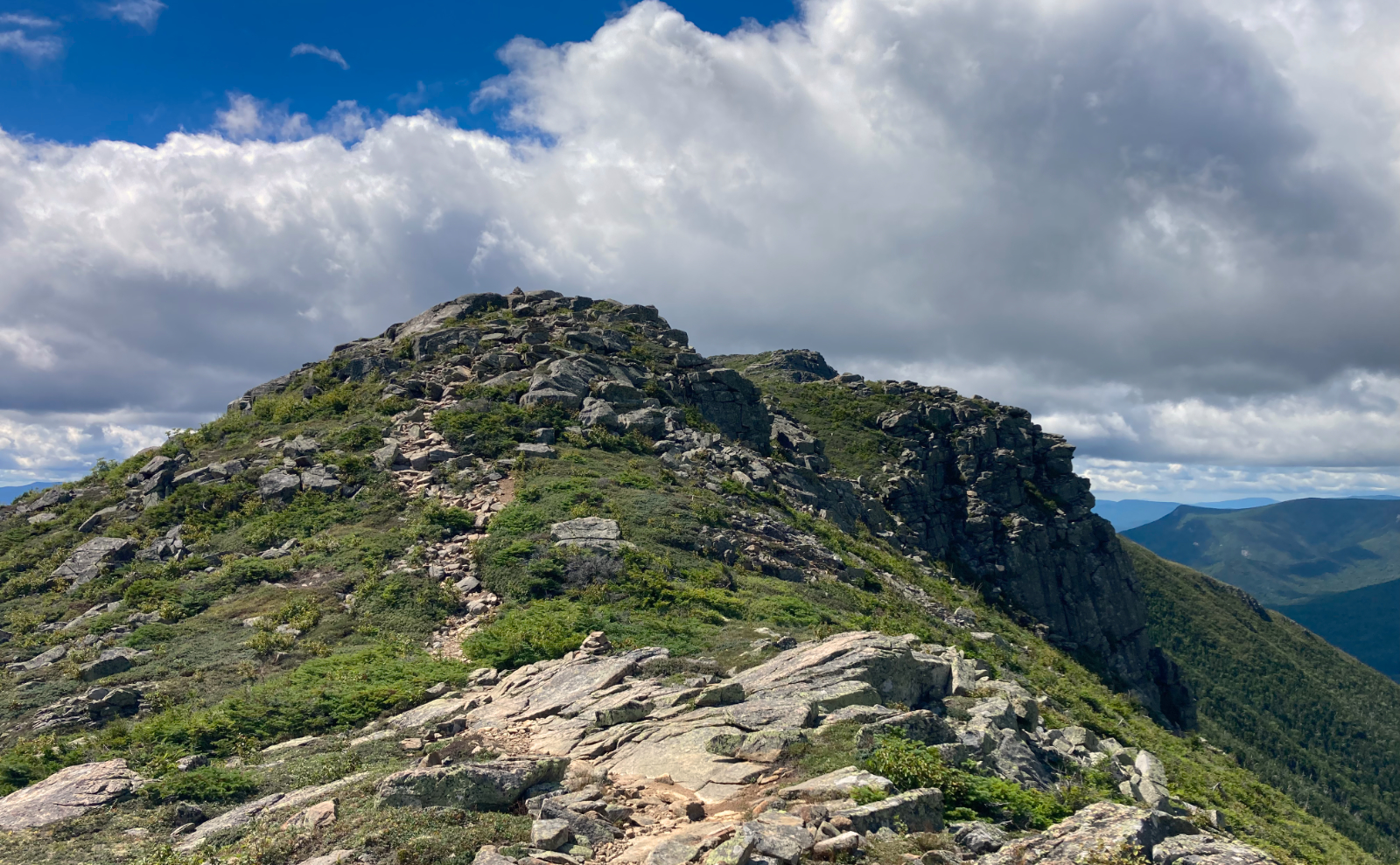
Smarts Mountain isn’t even 100 feet taller than Mt Monadnock, and it’s a far easier hike. To be true, for those easier grades, the trail will likely turn out to be about an hour longer on the way up. But that’s OK. Linger a little. There’s a lot to see along the way. My biggest problem was stopping all the time to take yet another picture — I wore out the battery on my camera before I got back to the car.
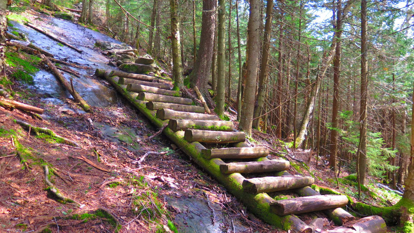
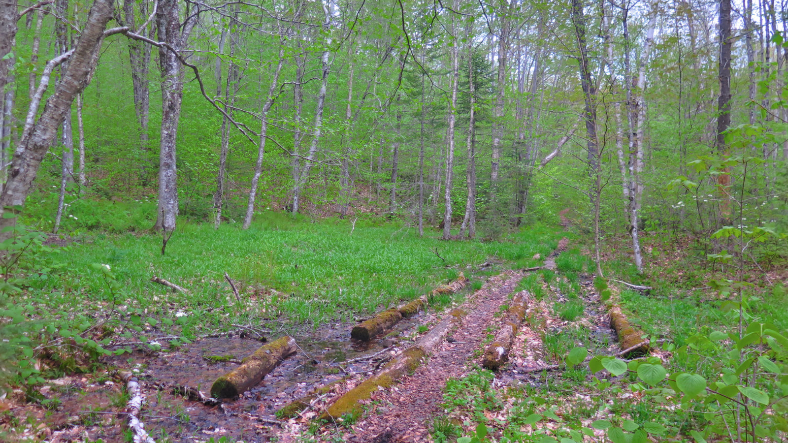
Right now, there’s a lot of mud and wet on the trail. For the most part, the mud is quasi-avoidable at best. There are stepping stones in many places, but in others, you’ve no choice but to lump it. I know I was slowed down a lot because of the gargantuan mud puddles that seemed to go on forever.
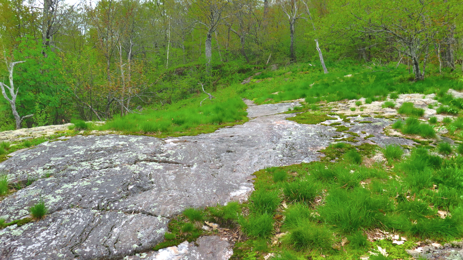
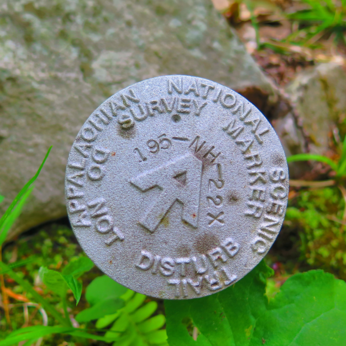
Dartmouth Outing Club wrote a great play-by-play of the mountain. It’s very detailed. But the long and the short of it… You’ll likely arrive at the trailhead from Lyme. Head toward the big signboard that has the usual map, Leave No Trace stuff, and so on. You’ll have two choices — Lambert Ridge Trail (which is the AT) or Ranger Trail. I recommend going up by the AT, due to some ledges that are easier attacked from below. It’s a nice loop. There is no scrambling, and usually, anytime I came across a steep bit, there were stone steps. While the top is a bit steeper, involving switchbacks, it’s not a hard hike. I’d grade it a good medium. Somehow, the way down via the Ranger Trail felt a lot easier, although there did seem to be a huge amount of mud. Both sides featured a soundtrack of babbling brooks in the lower elevations.
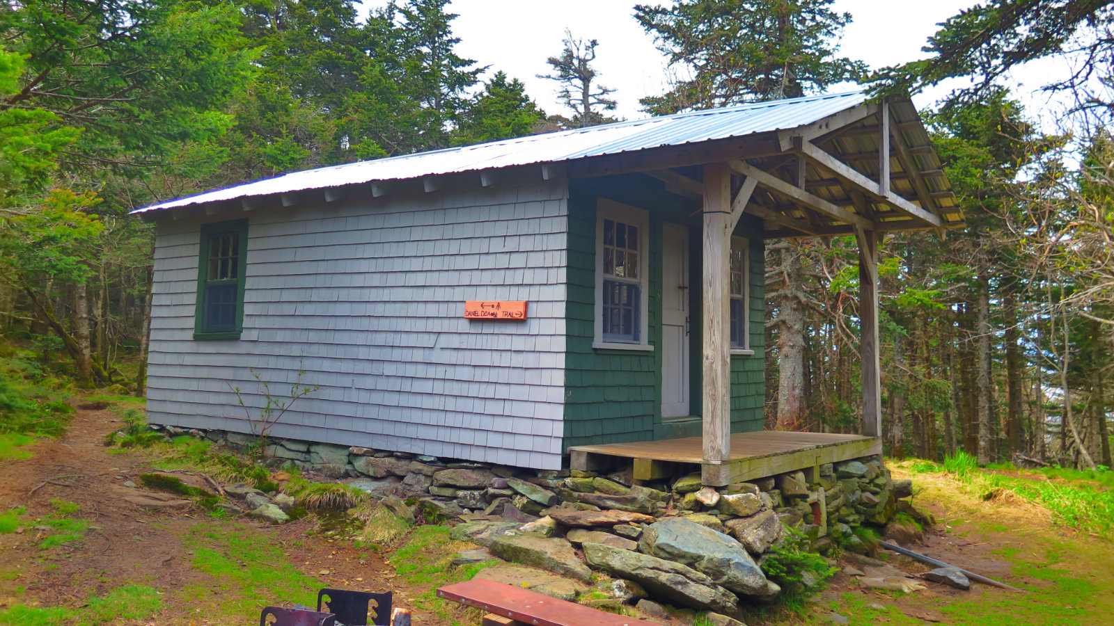
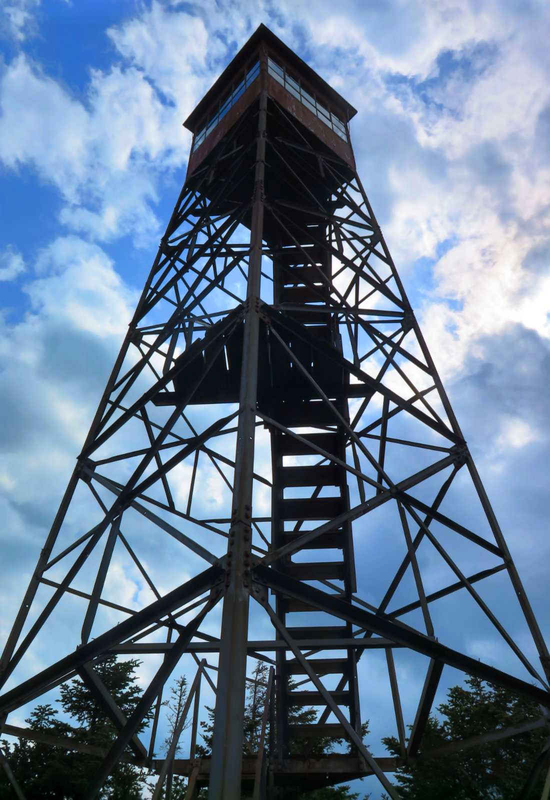
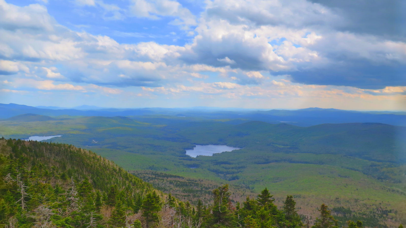
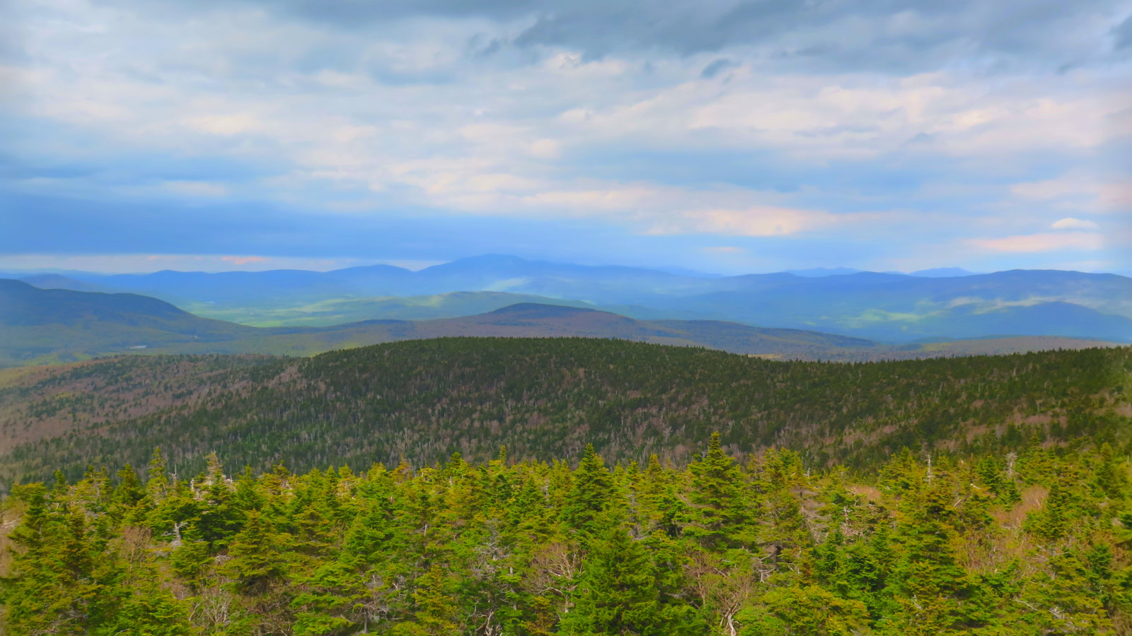
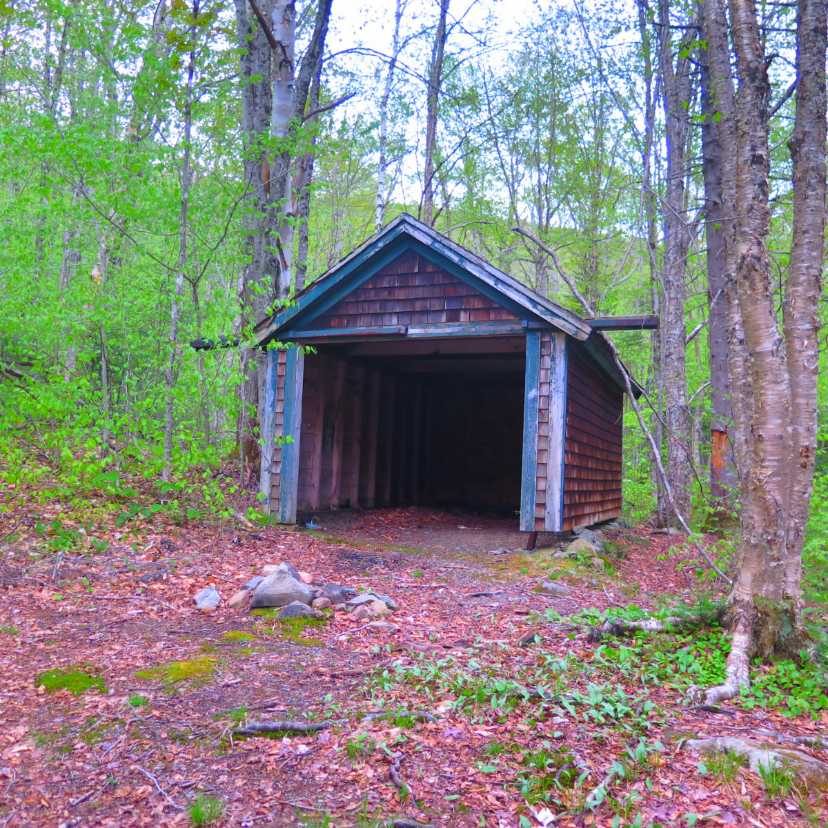
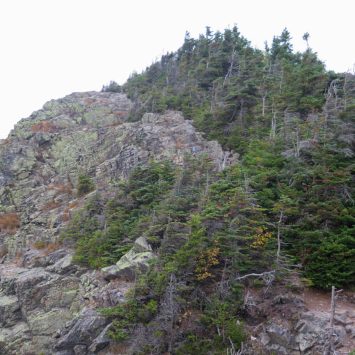
The summit is encroached on all sides by thick forest, and the trees come quite close to the tower. It pretty much precludes a convenient picnic spot, unless you head up a little higher…
The fire tower is indeed a treat. While there was a hasp on the trap door, there was no lock, so you’re free to climb inside the cab. If it’s a windy day, you’ll have protection from the wind as you take in the panorama. I do, however, recommend photos from the platform just below, to avoid reflections from the glass. Of course, be careful, and only attempt the climb if the conditions are clement. The tower is grounded against lightning strikes, but why take that risk?
Nuts and Bolts: From Hanover, take route 10 into Lyme. Turn onto Dorchester Road, and follow that until the split where Grafton Turnpike heads off to the right. Stay left. About a mile and a quarter or so later, you’ll come across the trailhead. You could try putting “420 Dorchester Road, Lyme, NH” into your GPS — it worked for me, but with all things tech, I make no promises. There’s a small (2-4 car) parking area to the left, and you should be able to see the big signboard from the road. On the right side is a smaller brown sign indicating the AT goes across the street. That side will lead you southbound to the Trapper John shelter. The first half a mile or so of that trail is quite pleasant, but it won’t get you to the top of Smarts.
Note that the Gaia GPS map is a bit wonky in its representation of the Ranger Trail, notably at the bottom near Cole Hill. Honestly, it’s not a hard trail to follow, so don’t fret. At the worst, walk mainly south by a bit west, and you’ll be at the road in no time. And from there, head west along the road back to your car.
2 thoughts on “Trip Report: Smarts Mountain”
Loved discovering this
Glad you enjoyed it. There’s the obvious allure to the 4,000 footers, but there’s no sense in neglecting the smaller peaks. They’re every bit as fun as their big brothers. Not the least, some of them still have their fire towers!