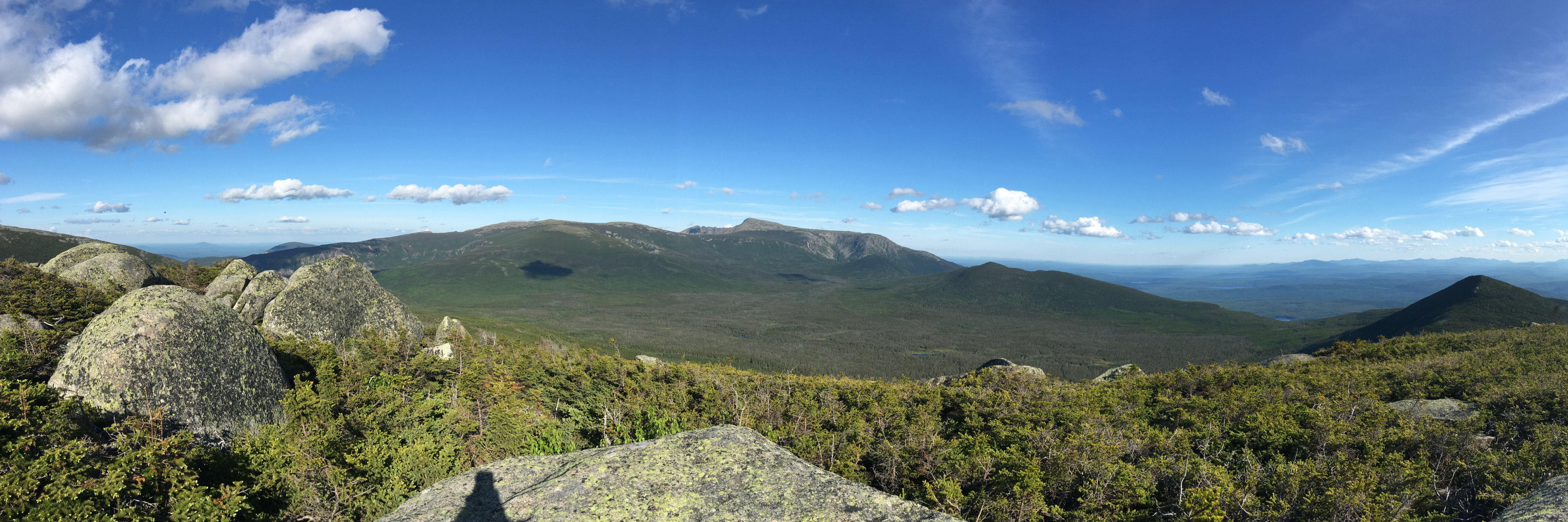
Cannon Mountain gives no quarter on the way up or down, regardless of the route taken. But for your struggles, you’re rewarded mightily.
Summer Hiking
63 posts
No electricity, no running water. What do you really need? Maybe that’s exactly it.
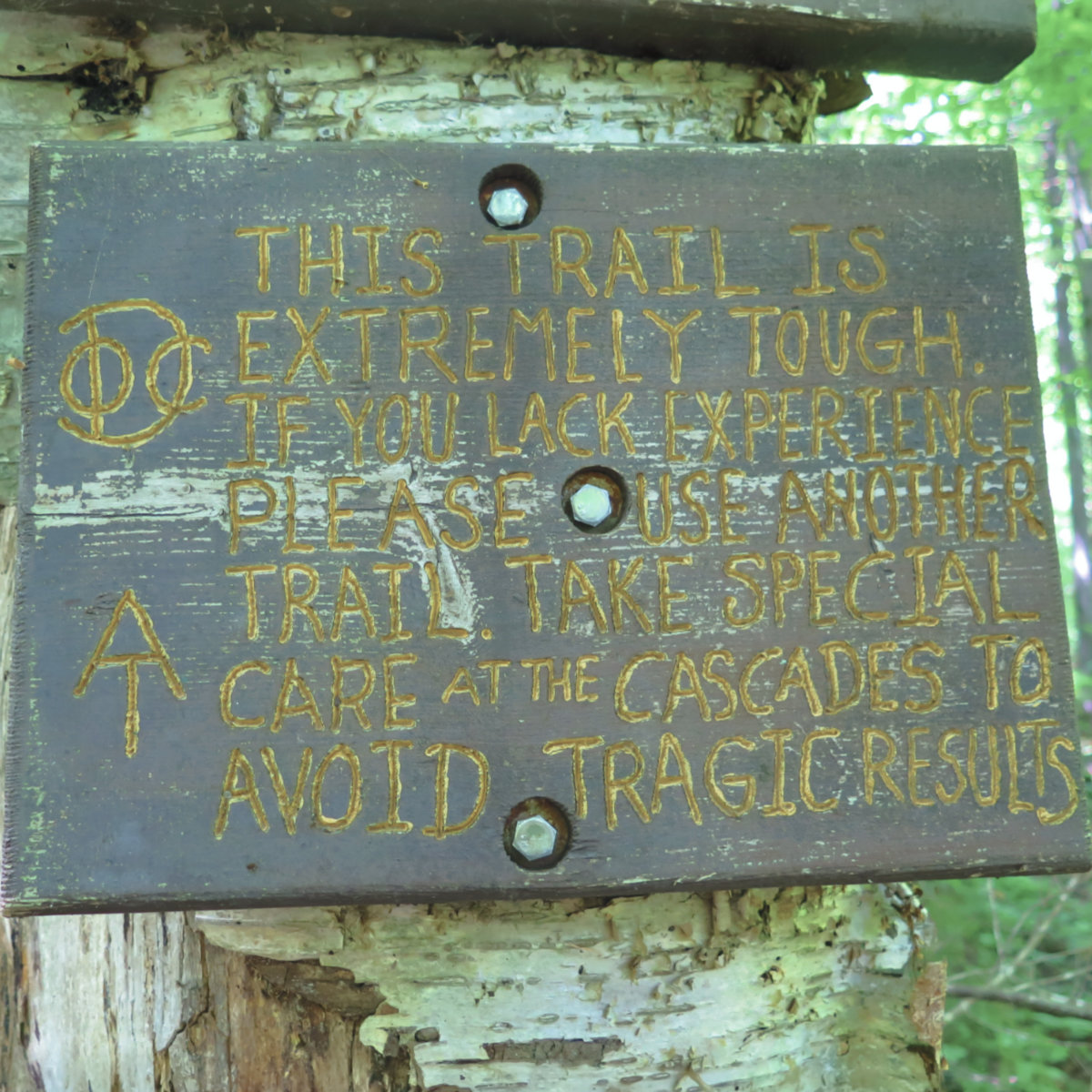
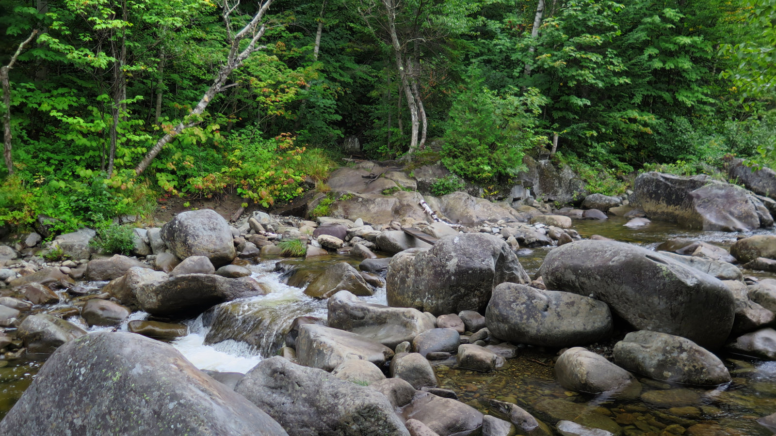
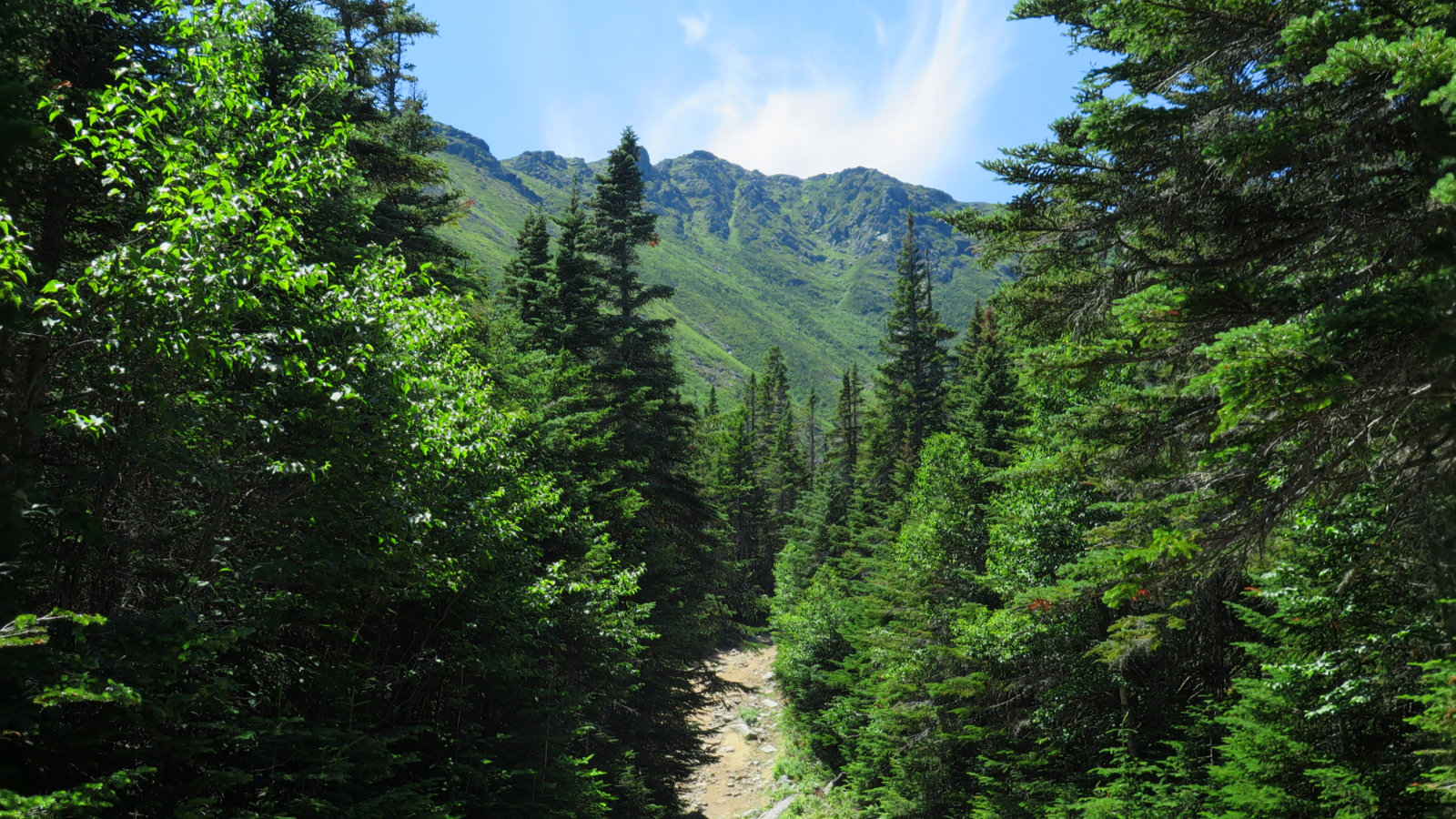
On an exceptionally steep trail, yet it was a good day to be out in the mountains. Hiking Moosilauke never gets old.
If you enjoy reading these posts, consider subscribing. Your email will only be used to alert you of new posts — typically 1-2 times per week. I will not use or share your email for any other purpose without your express permission.
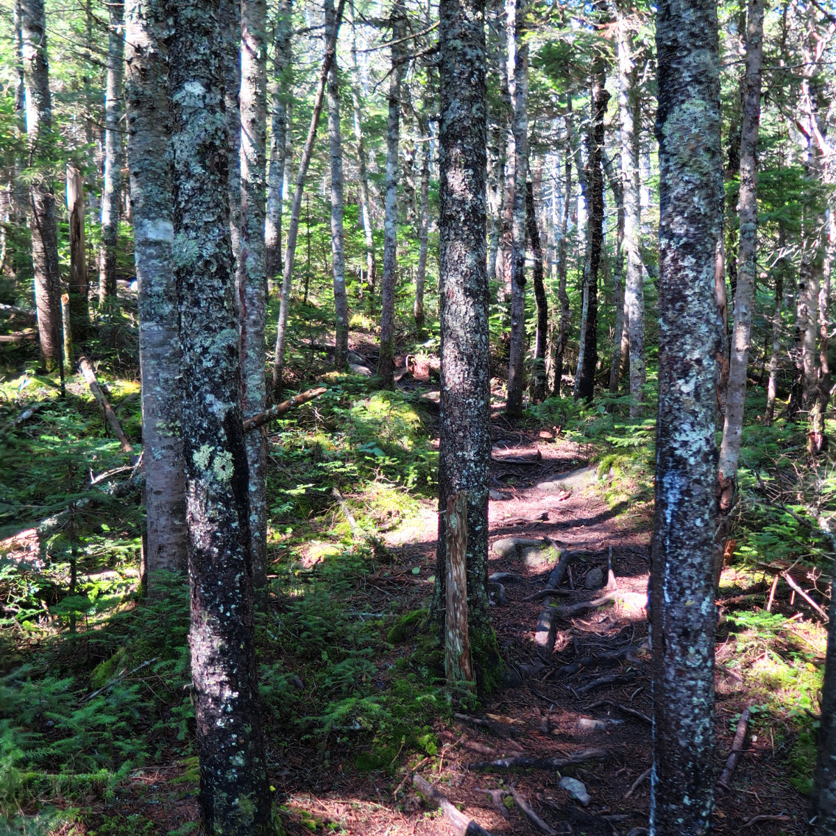
On the AT again! Sugarloaf Mountain, 4,250 feet. Spaulding Mountain, 4,010 feet. Kingfield, Franklin County, Maine. (AKA Carrabassett Valley.) 75 dF at trailhead, about 70 dF at the summits. Cloudy/overcast skies with at times 40 miles visibility. Very light intermittent breezes through the trees — approximately 5 MPH. 30 MPH wind out of the north on Sugarloaf summit. Via the Appalachian Trail. Car: 0930. Trailhead: 0915. Sugarloaf summit: 1245. Spaulding […]
Trio! South Crocker Mountain, 4050 feet. Crocker Mountain, 4288 feet. Mt Redington, 4010 feet. Kingfield, Franklin County, Maine. 61 dF at trailhead, 55 dF at South Crocker summit. Sunny skies and 50 miles visibility. Very light intermittent breezes through the trees — approximately 5 MPH. Winds at 5-10, with gusts to 18-20 at overlooks. Via the Appalachian Trail, and the herd path. Car: 0900. Trailhead: 0915. South Crocker summit: 1045. […]
Via the White Dot Trail. Trailhead: 1030. Summit: 1145. Car: 1300. The forecast put the chances of a t-storm at a flip of a coin. I’ve hiked that bad Larry in a tropical storm before, so what’s a little thunder? OK, I’m crazy, but not stupid. Our aim from moment one was to be off the mountain, or at least well down from the summit, by 1300. We did well […]
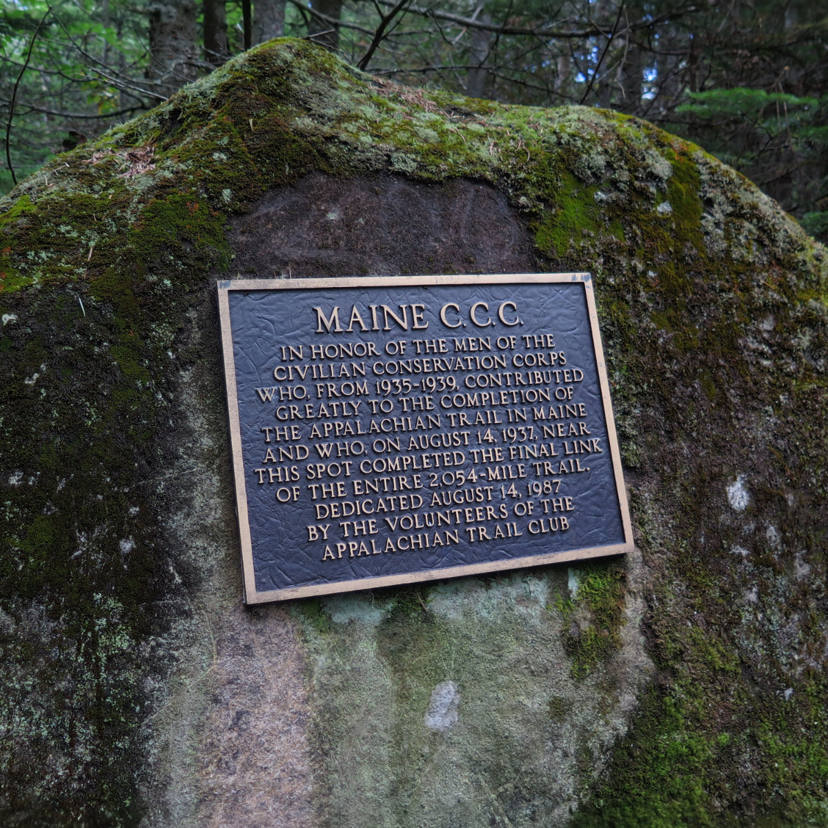
A Mountain of Mica in Maine. Old Speck; 4,170 feet. Grafton Notch State Park, near Bethel, ME. 80 dF at trailhead, 75 dF at summit. Sunny/hazy skies and 50 miles visibility. 5-10 MPH breezes on summit tower. Via the Old Speck trail. Trailhead: 1010. Summit: 1300. Left summit: 1330. Car: 1600. Approximately 9 miles. Although I’ve been to Maine many times, this was my first time actually hiking there. Oddly, […]
A peak was sought. And so much more was found. Mt Washington; 6288 feet. Sargent’s Purchase, NH 80 dF at trailhead, 75 dF at summit. Sunny/hazy skies and 50 miles visibility. Very light intermittent breezes at summits — approximately 2-4 MPH. Via the Tuckerman Ravine trail, and Lion Head trail. Trailhead: 1230. Summit: 1530. Left summit: 1600. Car: 1830. Approximately 9 miles. I’m a sucker for a good cause. Given […]
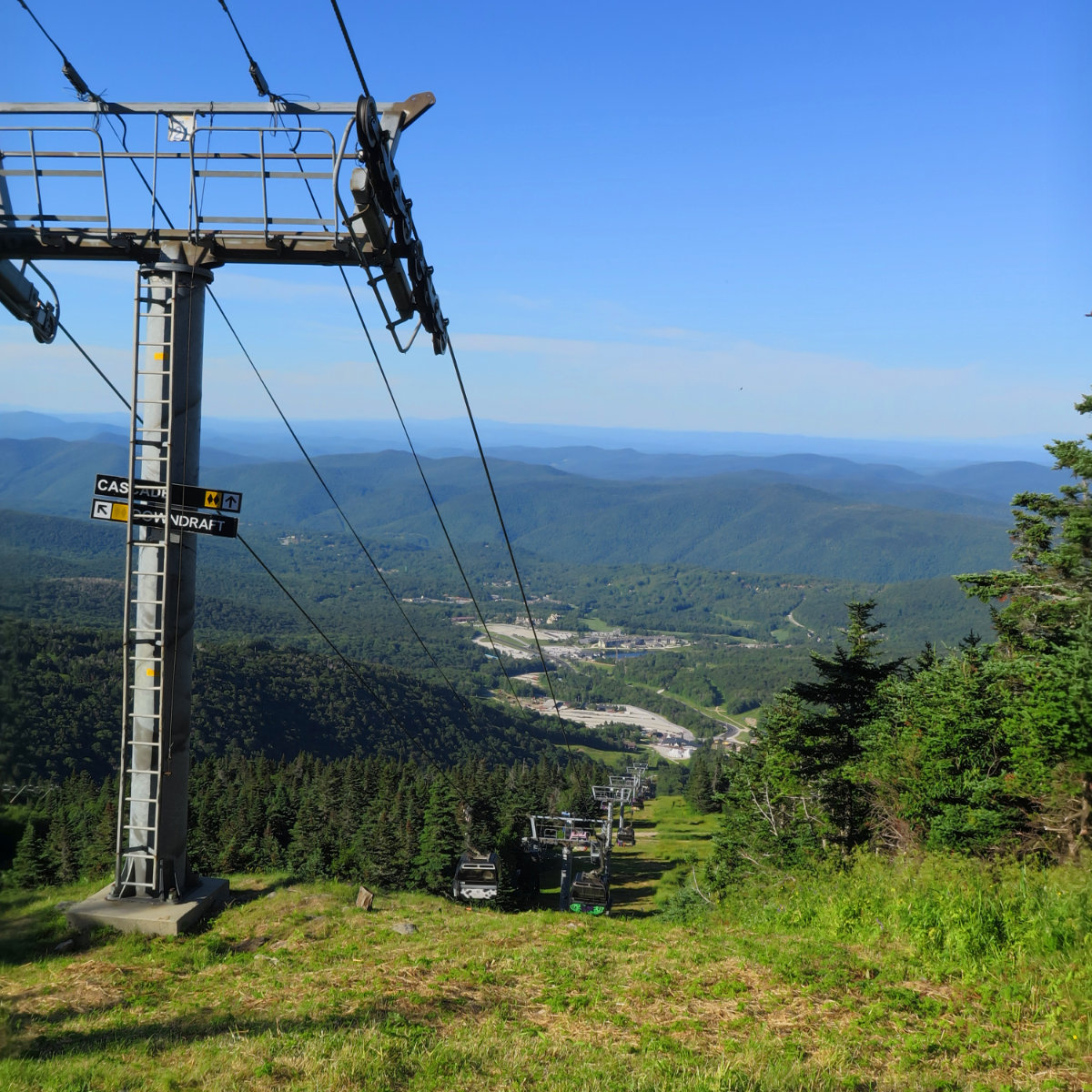
An easy one, but still rewarding. Killington; 4241 feet, Killington, VT. 75 dF at trailhead, 75 dF at summits. Sunny/hazy skies and 30 miles visibility. Very light intermittent breezes at summits — approximately 2 MPH. Via the Bucklin trail. Trailhead: 1400. Summit: 1730. Car: 2000. Approximately 7 miles. In my tradition of not suffering injuries gladly, I decided to finish out the Vermont portion of the 67 by hiking on […]
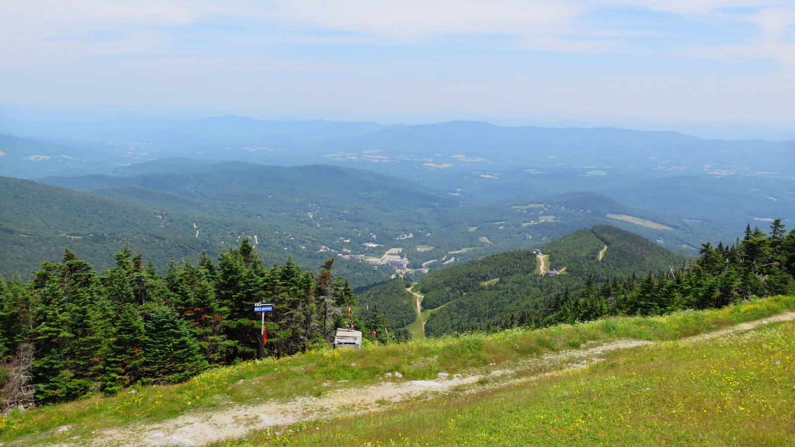
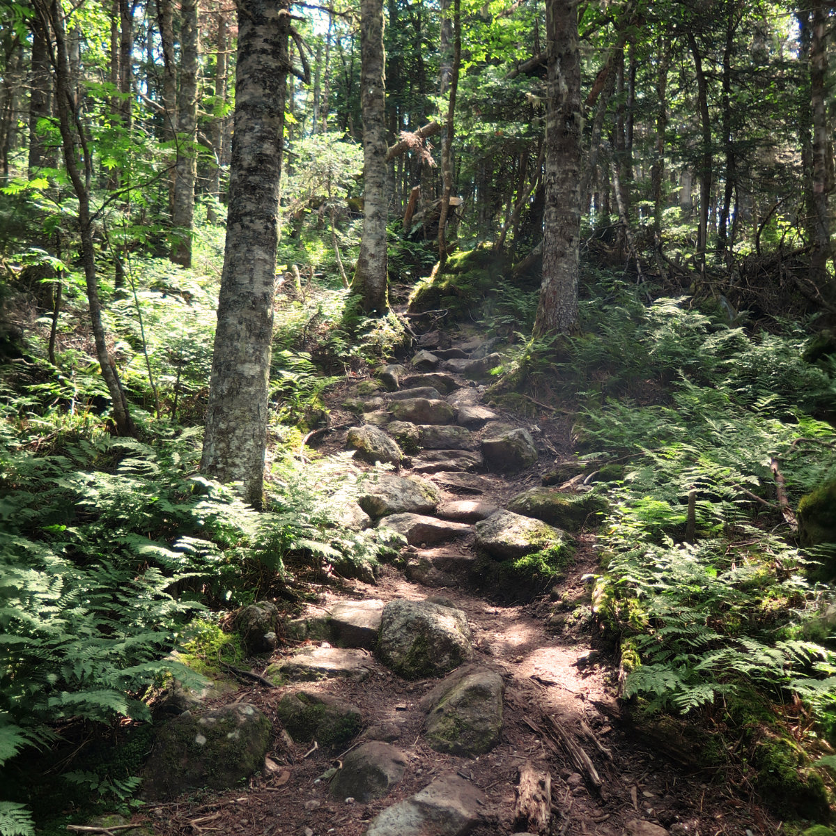
A long twofer. Mt Abraham, 4006 feet. Mt Ellen, 4083 feet. Lincoln, VT. 80 dF at trailhead, 80 dF at summits. Sunny/hazy skies and 30 miles visibility. Very light intermittent breezes at summits — approximately 2 MPH. Via the Long trail. Trailhead: 1040. Abraham Summit, 1215. Ellen Summit: 1440. Car: 1840. Approximately 12 miles. It felt longer than it was; certainly for “only” two peaks. I’m still nursing an injury, […]
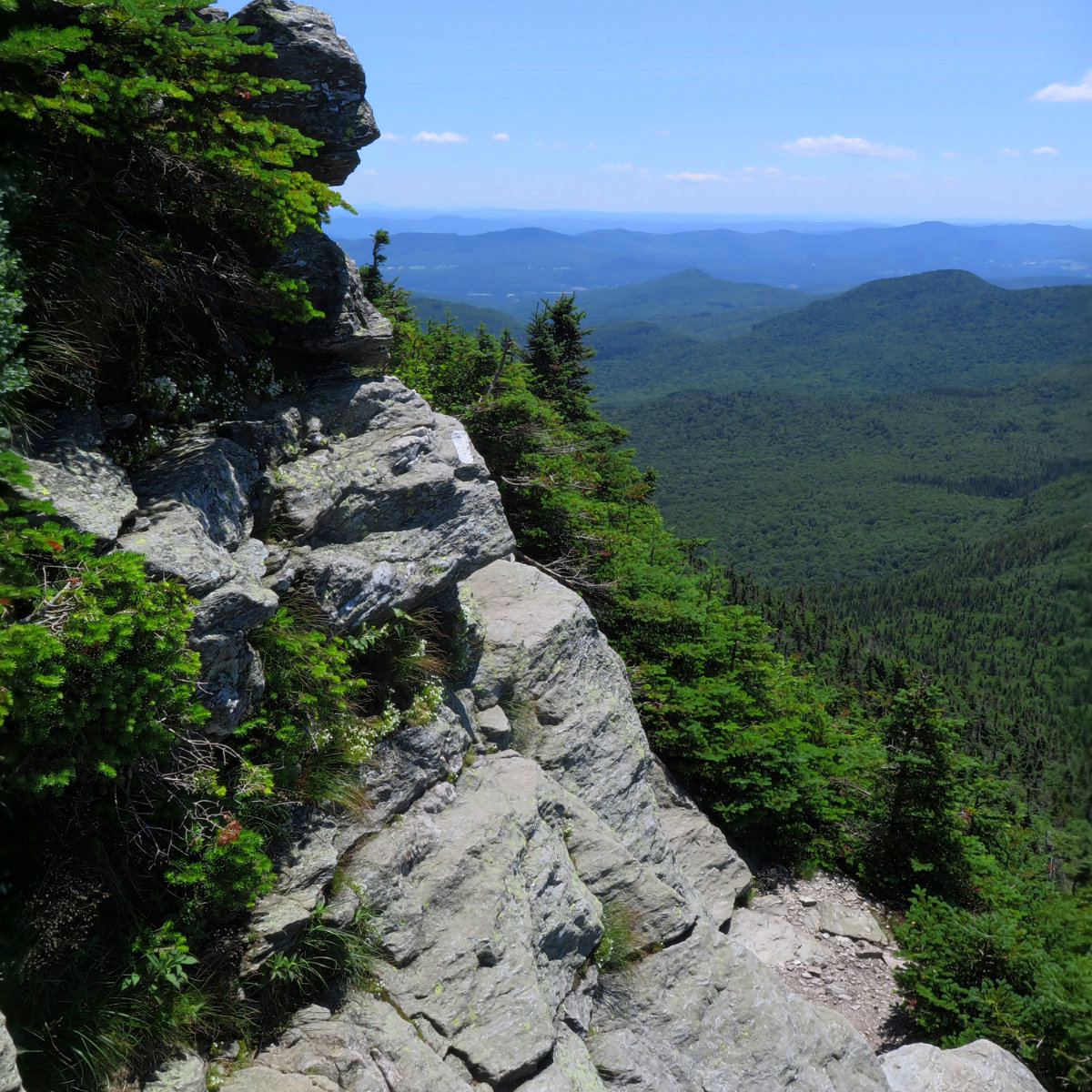
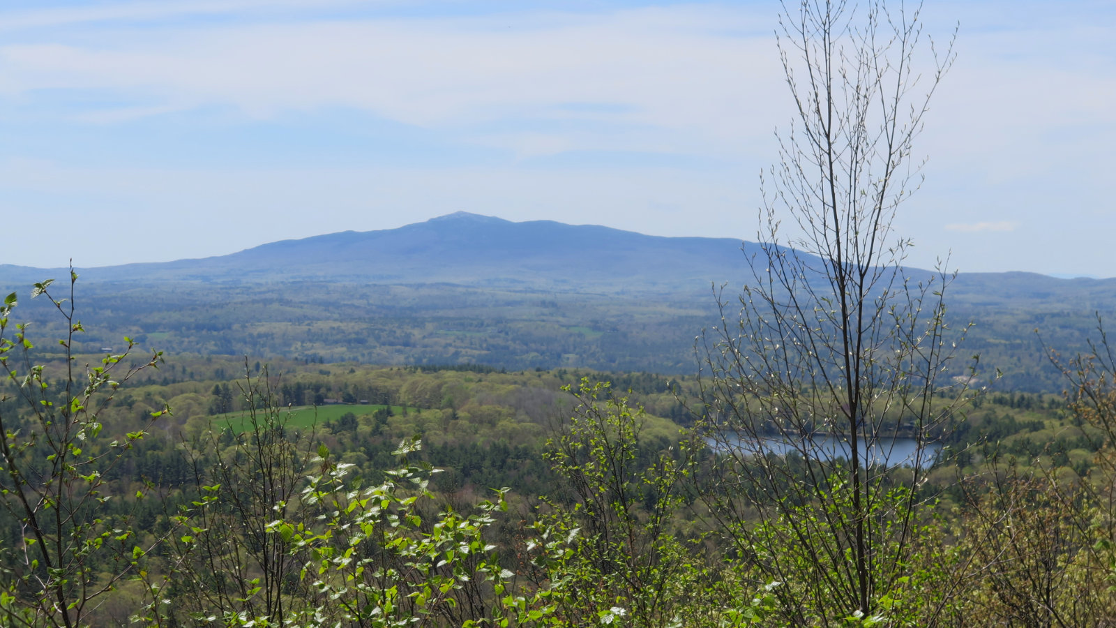
A fine day for a short hike! Camel’s Hump Mountain, 4083 feet. Huntington, VT. With a side trip to the B-24 bomber wreckage. 75 dF at trailhead, approx 80 dF at summit. Sunny skies and 30 miles visibility. Breezy at summit — approximately 5-10 MPH. Via Burrow’s, Alpine, and Long trail. Trailhead: 1100; Summit, 1215. B-24 wreckage: 1245. Car: 1500. Approximately 6 miles. On the one hand, not having the […]