Looking out, and looking back at hiking the New Hampshire forty-eight 4,000 footers.
Yearly Archives: 2018
74 posts
A peak was sought. And so much more was found. Mt Washington; 6288 feet. Sargent’s Purchase, NH 80 dF at trailhead, 75 dF at summit. Sunny/hazy skies and 50 miles visibility. Very light intermittent breezes at summits — approximately 2-4 MPH. Via the Tuckerman Ravine trail, and Lion Head trail. Trailhead: 1230. Summit: 1530. Left summit: 1600. Car: 1830. Approximately 9 miles. I’m a sucker for a good cause. Given […]
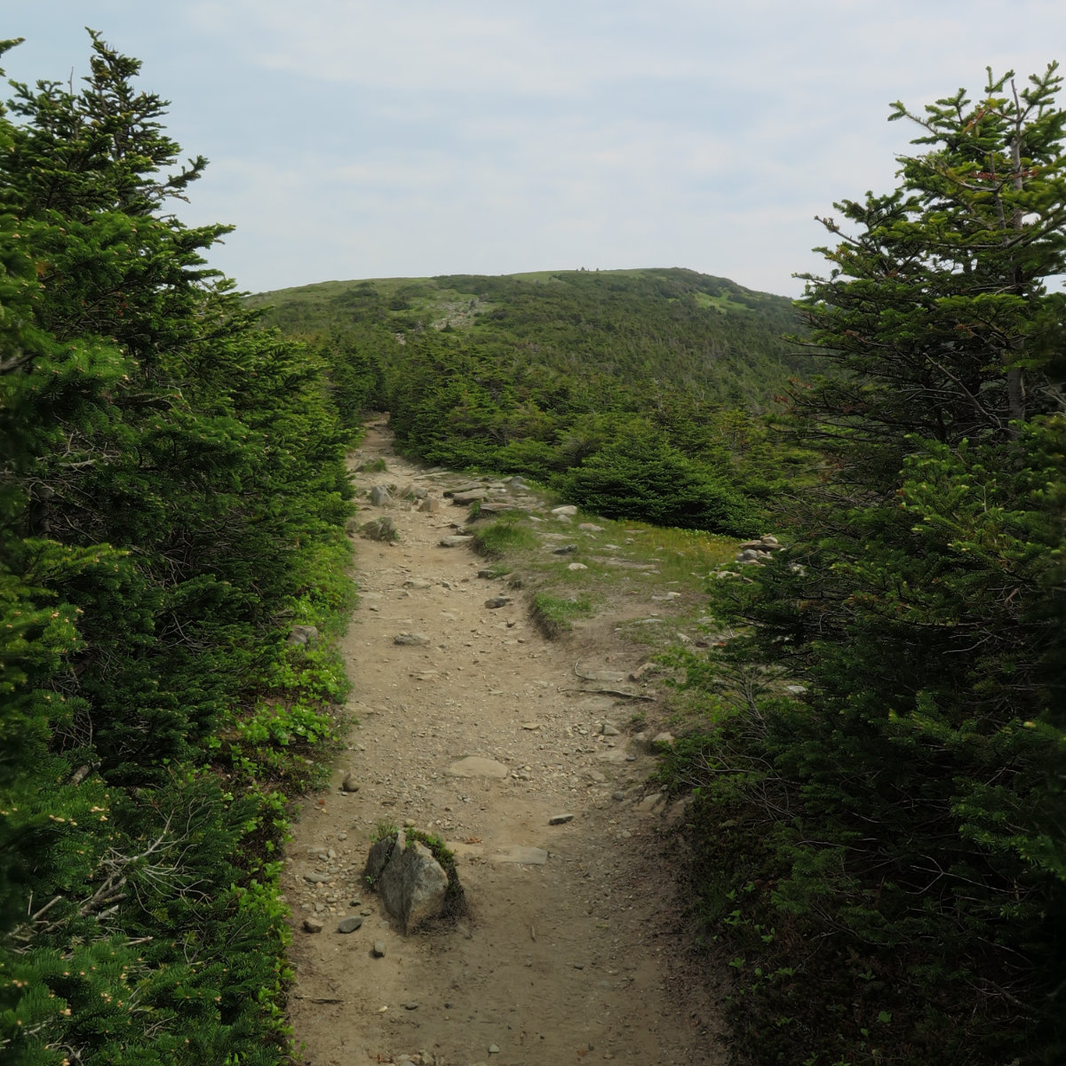
An easy one, but still rewarding. Killington; 4241 feet, Killington, VT. 75 dF at trailhead, 75 dF at summits. Sunny/hazy skies and 30 miles visibility. Very light intermittent breezes at summits — approximately 2 MPH. Via the Bucklin trail. Trailhead: 1400. Summit: 1730. Car: 2000. Approximately 7 miles. In my tradition of not suffering injuries gladly, I decided to finish out the Vermont portion of the 67 by hiking on […]
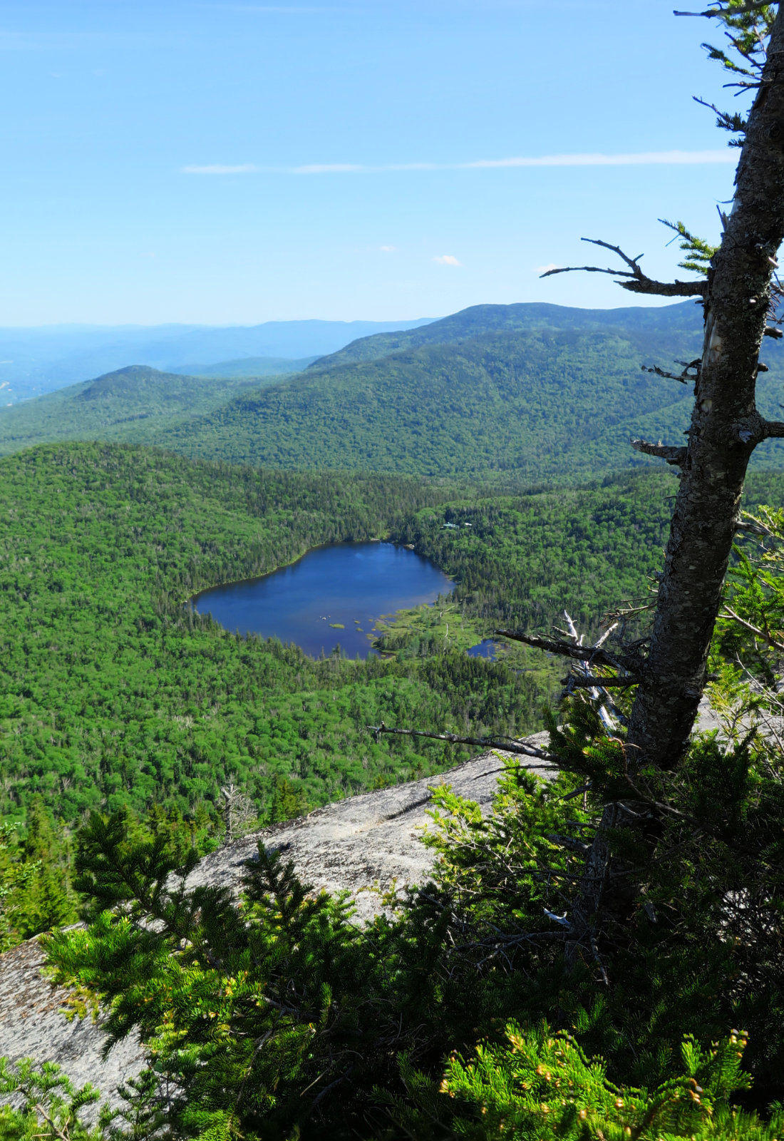
A long twofer. Mt Abraham, 4006 feet. Mt Ellen, 4083 feet. Lincoln, VT. 80 dF at trailhead, 80 dF at summits. Sunny/hazy skies and 30 miles visibility. Very light intermittent breezes at summits — approximately 2 MPH. Via the Long trail. Trailhead: 1040. Abraham Summit, 1215. Ellen Summit: 1440. Car: 1840. Approximately 12 miles. It felt longer than it was; certainly for “only” two peaks. I’m still nursing an injury, […]
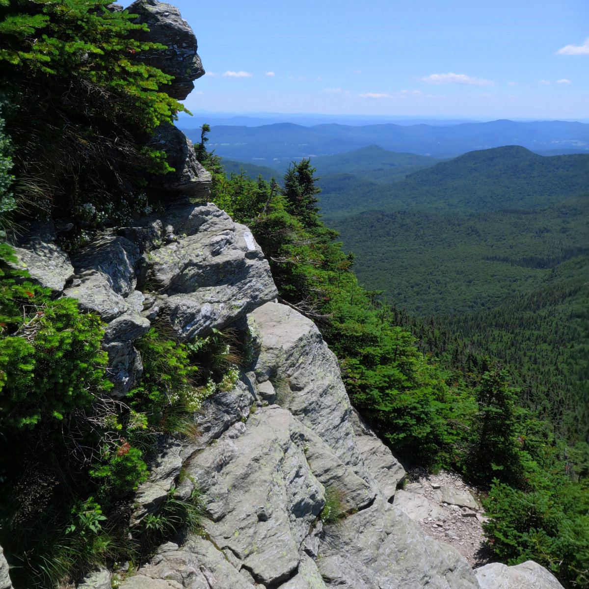
A fine day for a short hike! Camel’s Hump Mountain, 4083 feet. Huntington, VT. With a side trip to the B-24 bomber wreckage. 75 dF at trailhead, approx 80 dF at summit. Sunny skies and 30 miles visibility. Breezy at summit — approximately 5-10 MPH. Via Burrow’s, Alpine, and Long trail. Trailhead: 1100; Summit, 1215. B-24 wreckage: 1245. Car: 1500. Approximately 6 miles. On the one hand, not having the […]
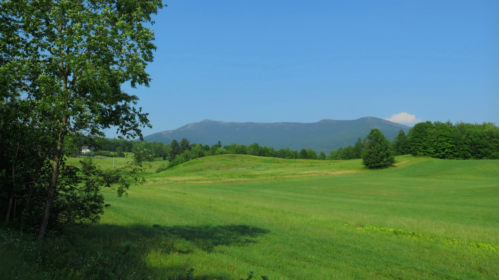
And so it begins again… Mt Mansfield Chin, 4,395 feet. Underhill, VT. With a hike along the ridge to the Forehead. 82 dF at trailhead, approx 88 dF at summit. Hazy to start, giving way to mostly sunny skies and 20 miles visibility. Breezy at summit — approximately 10-15 MPH. Via Eagle Cut trail, CCC road, Sunset Ridge trail, Long Trail, and Halfway House trail. Trailhead: 1020, The Chin: 1300, […]
The AMC is discontinuing the WMG Online site as of the end of September. Currently, they’re no longer accepting new subscriptions. If you have saved routes, they’ll continue to be accessible until the end of September, but expect them to be gone after that. Similarly, if you were thinking about a trip, time to start drawing up and exporting maps. Current subscribers will get prorated refunds as appropriate. Right now, […]
27 June, 2018. Via the Marion Davis and Wapack trails. The unexpected consequence of finishing the 48 was that I felt more than a bit disjointed. I had a sense that something like this would happen — anyone who’s done something big and long-term like this (maybe a wedding, or school, or an all-consuming project at work) knows that often, you just need to sit on the sofa for a […]
And then, there were none! North and South Kinsman Mountain (4,293 and 4,658 feet, respectively), Cannon Mountain (4,100 feet). Franconia, NH. With a crossing over the Cannonballs. 60 dF at trailhead, approx 70 dF at summits. Cloudy to start, giving way to mostly sunny skies and 20-30 miles visibility. Very windy at Cannon summit — approximately 25-30 MPH. Via Lonesome Lake, Fishin’ Jimmy, Kinsman Ridge, and Hi-Cannon trails. Trailhead: 0745. […]
Short, hard, but sweet! (Yet hazy!) Mt Moosilauke. Approx 9 miles. 4,802 feet. 60 dF at trailhead, approx 60 dF at summits, 30 MPH winds above tree line. Sunny throughout, with a hazy overcast sky. Visibility approx 10 miles, max. Very windy at the summit — approximately 25-30 MPH. Trailhead: 0900. Summit: 1115. Car: 1330. This couldn’t have been more straightforward. Hike Glencliff trail up and down. It’s not “hard” […]
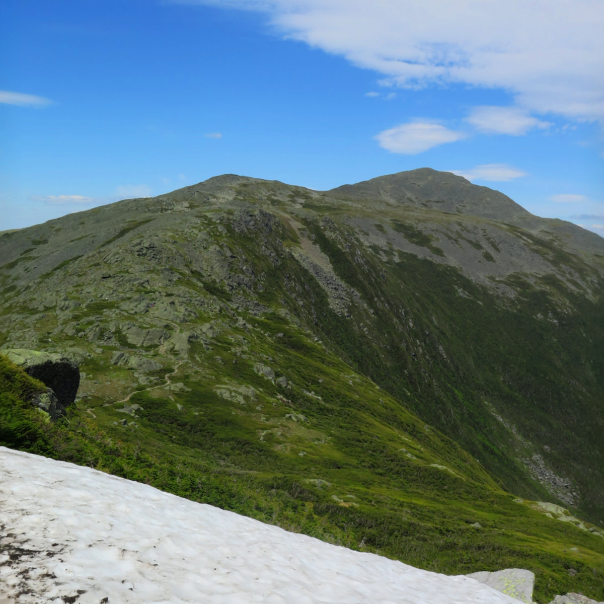
It was a long, hard day. Mt Jefferson, Mt Adams, Mt Madison. 2018-06-16 (Saturday.) Via the Sylvan Way, Amphibrach, Randolph Path, Jefferson Loop, Gulfslide Trail, and Valley Way. Approx 14 miles. Jefferson 5,716 ft, Adams 5,799 ft, Madison 5,366 ft. 60 dF at trailhead, approx 60 dF at summits, 30 MPH winds above tree line. Sunny throughout, with a bit of hazy overcast sky. Trailhead: 0930. Jefferson summit: 1415. Adams […]
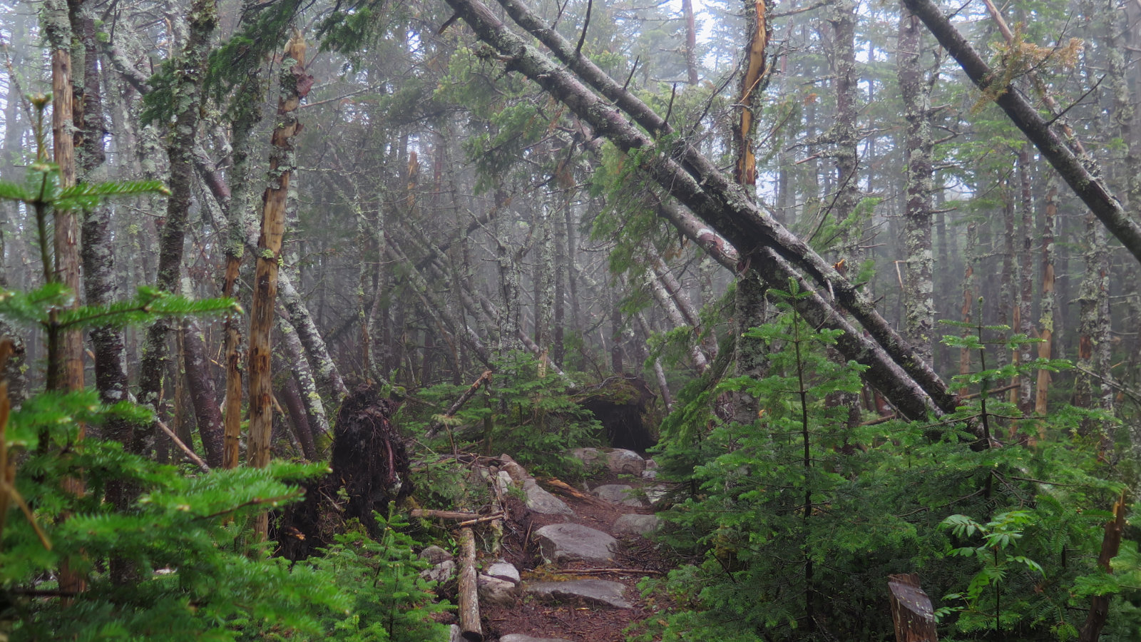
A trio with twins? North and South Twin Mountain, Guyot, and West Bond Mountain. 2018-06-14 (Thursday.) Via the North Twin trail, North Twin spur, Twinway, Bondcliff trail, and West Bond spur. Approx 18 miles. North Twin, 4761 ft; South Twin, 4902 ft; Guyot, 4580 ft; West Bond, 4540 ft. 60 dF at trailhead, approx 50 dF at summits, 30-35 MPH winds, mediated by consistent tree cover on the trails. Mt […]