South Hancock Mountain (4319), North Hancock Mountain (4420). 2700 feet elevation gain. Lincoln, NH. 2021-12-03 (Friday.)
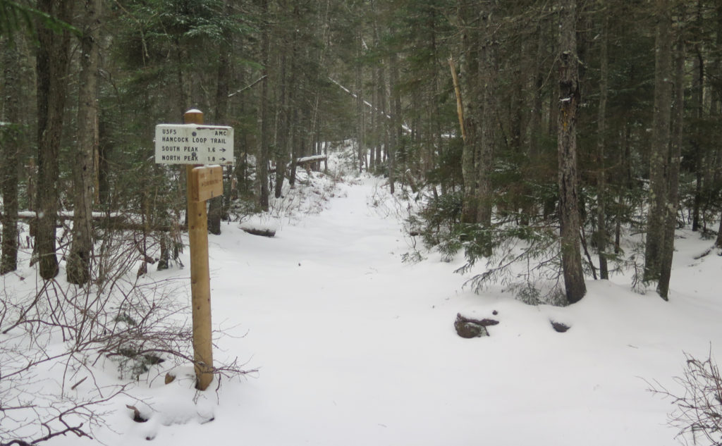
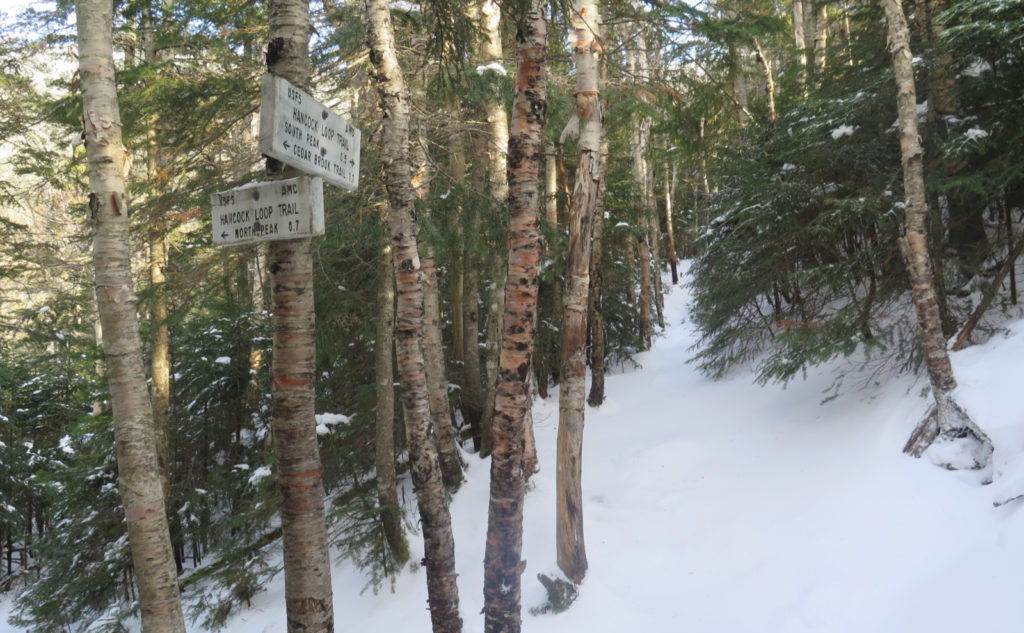
Via the Hancock Notch trail, Cedar Brook trail, Hancock Loop trail. Approx 10 miles round-trip.
32 dF at the trailhead. Bitter winds were very easily felt in the trees, with noticeable windchill. Cloudy to start, becoming sunny by early afternoon.
Trailhead: 0940. South Hancock summit: 1230. North Hancock summit: 1330. Car: 1605.
In New Hampshire, hurricanes hardly happen, however…
I was looking back at the trip report on this very same hike, but this past February. Nearly a year, and the particulars are almost identical — so much so that it’s uncanny. There were only minor differences, and one of them was that last time, I went to the north first. In terms of being beaten like a rented mule? Not one iota different. I hope this isn’t the pattern for future trips.
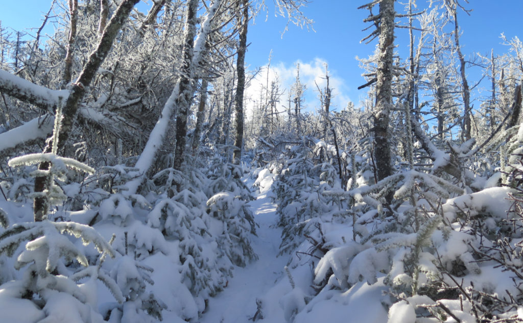
The snow today was pretty dry, and for the most part, inconsequential. Yes, higher up, there were a few inches, and here and there on the col, I was trudging through knee-deep drifts for a few minutes. But below about 3800 feet, it didn’t really matter as much as the underlying icy-crusty stuff did. Wind was a problem… yes, it was a “mild” breeze in the trees. I chose this hike because winds on Jefferson were forecast to howling, with gusts beyond the century mark, which to me sounds a lot like last February.
So about that wind?
At times early on, I just couldn’t get warm. This despite the fact that I was on the uphill, pushing hard on what could just as easily have been outright vertical terrain. In theory, I was burning calories at a mad pace, but in practice, my fingers felt frozen and the rest of me pretty chilly also. The lesson is that even though you’re in the trees, sometimes the wind chases you down with a savage intent. Especially when the mountain itself funnels the wind right onto the trail.
Even in the col, where I was sheltered from the wind by the mountain itself, I couldn’t relax… when was it coming back for more? Thankfully, the sun helped warm things up, and the worst of the wind stayed on the south side of the mountain. But wow, that was very much Type II fun.
What about the trail itself?
Mostly, this is the same hockey stick trail as you’d find in many other places, where you hike in on fairly easy terrain for about three-ish miles, and then get pummeled when things start heading uphill. The difference this time was that with the snow still as new and dry as it is, crampons didn’t always have the best stuff to grab ahold of. There was no shortage of sliding back toward where I came from, no shortage of huffing and puffing. The north peak’s trail is more aligned with the sun, so in time, I’d expect that bit to gel a bit quicker than on the south. Play that card how you will. Maybe you’d prefer the denser snow on the uphill and the softer, unconsolidated on the down. Or the inverse. Your Mileage May Vary, but always expect the mountains will toss you a curve ball when you’d prefer they didn’t.
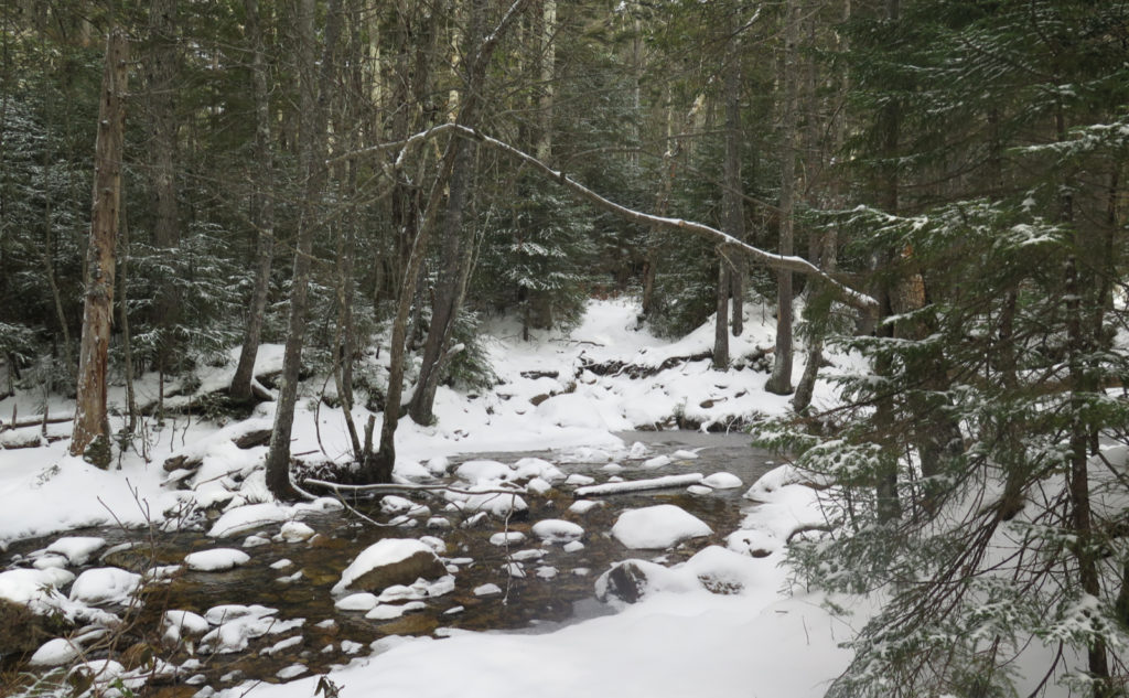
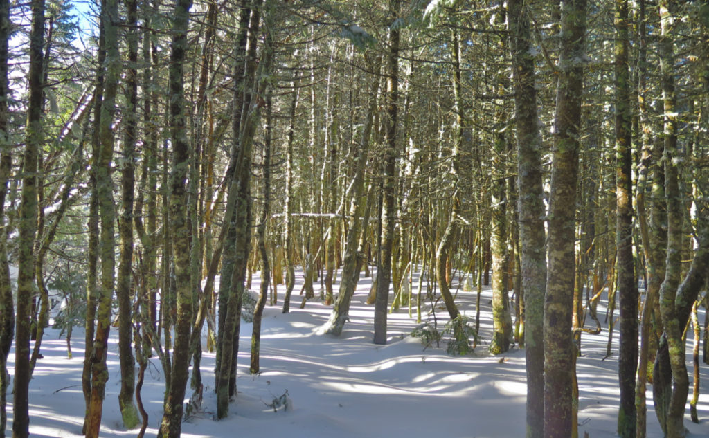
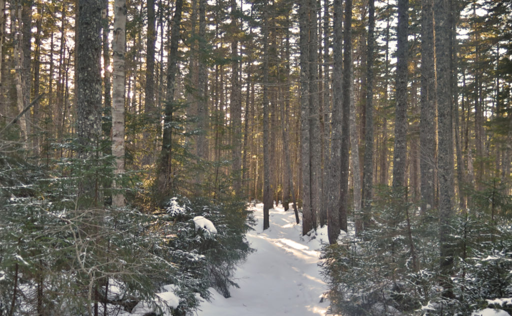
One thing that’s worthy of note… unlike many other mountains, the first mile or two is very unremarkable (at least until the junction with Cedar Brook trail). It’s on a railbed of J.E. Henry’s from about 100 years ago, and it’s not hard to see. Fortunately, there’s not a lot of rock or root or rubble, and you can make quick time. That means your opening will be on adventitious ground. And when you’re coming back, feeling tired and beaten, your last couple of miles aren’t terribly hard at all.
And so, about that Type II fun?
Overall, despite the wind and the early cold, it was an uneventful day that clocked in at a bit more than 6 hours. Usually I can manage a 2 mile per hour pace, but today not so much. I expected to slow down on the uphill, and I did. What caught me was the downhill wasn’t where I usually make up for lost time. When I point out this is a hockey stick trail, one of the defining elements of this one is that the steepness is pretty hardcore. Running down today would have been suicidal in most places, and then there was the rocky terrain that makes up the bit of the trail nearest the mountain that just ate up time. This is the hike to start a little earlier, so when you do come off trail, you’ve still got some daylight left. Again, right now, this is Type II fun.
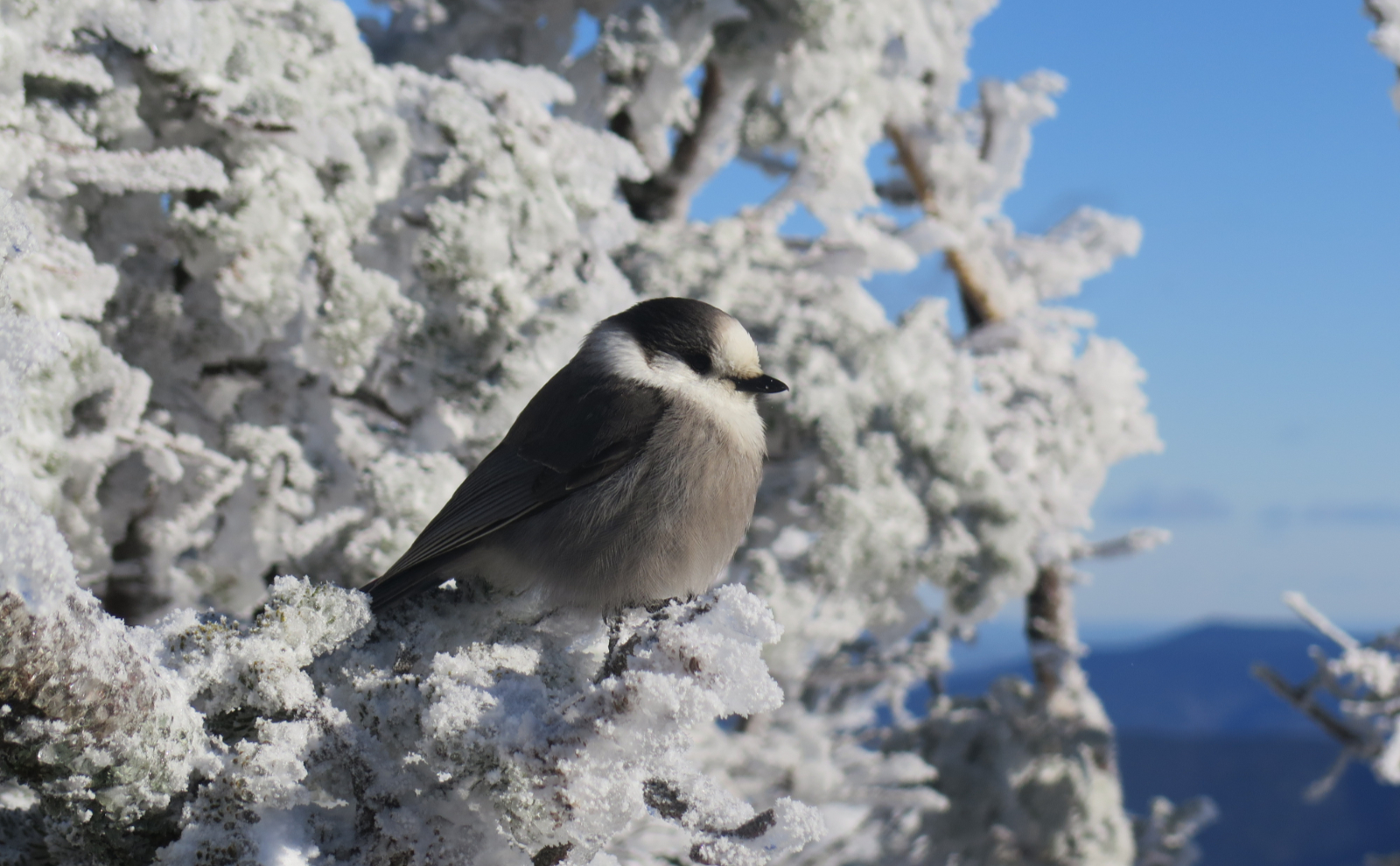
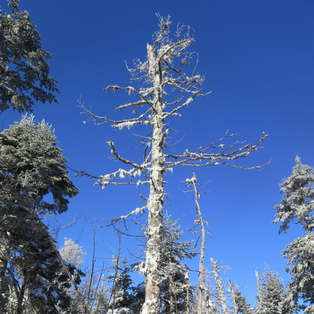
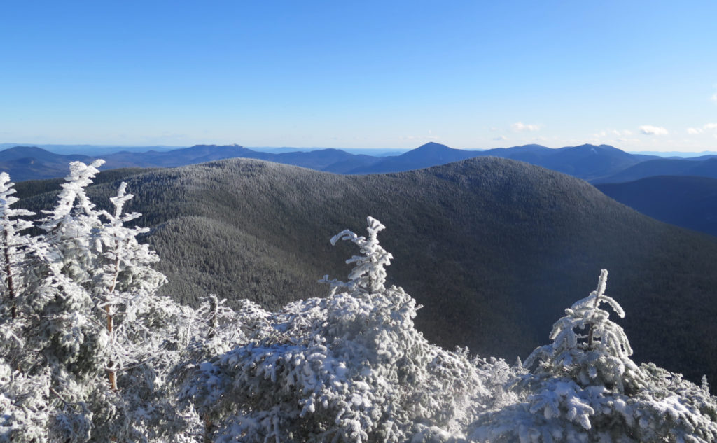
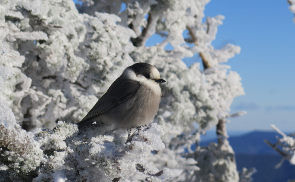
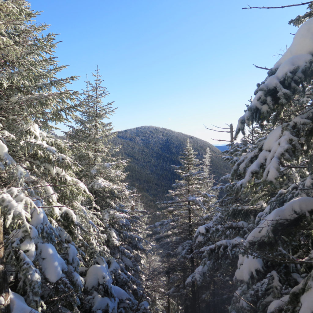
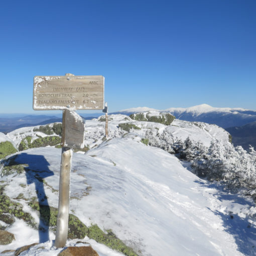
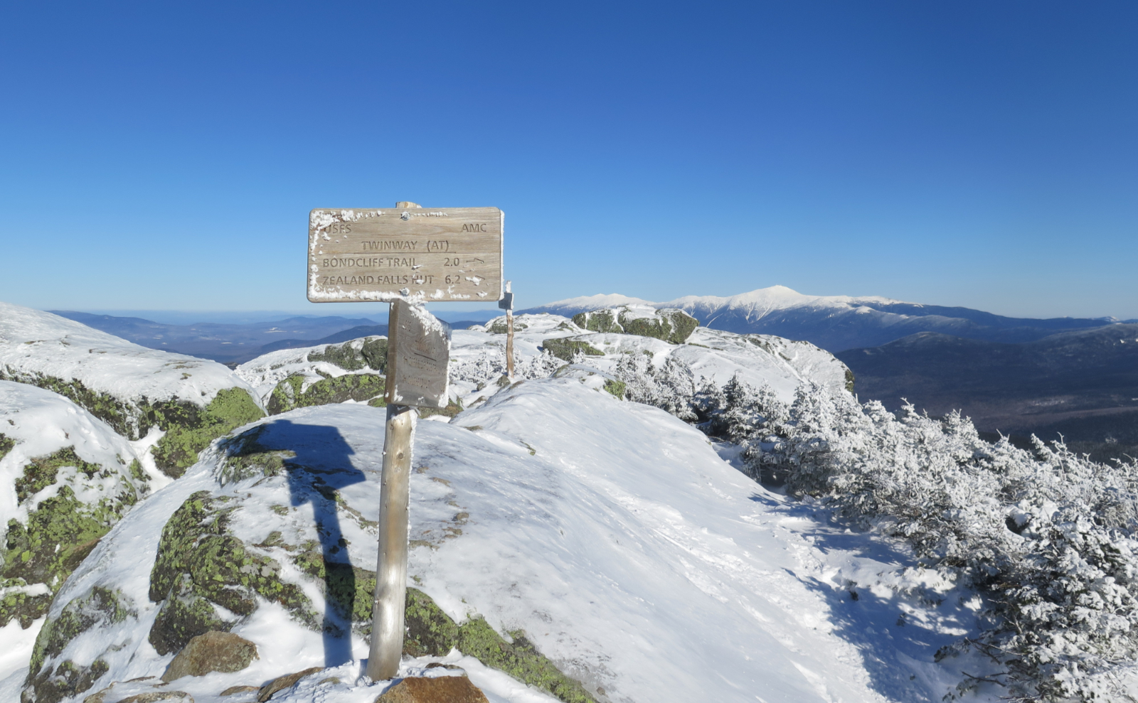
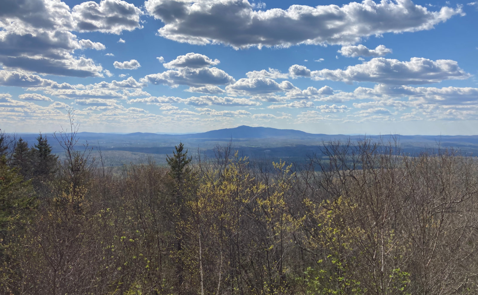
For the rest, I’m going to let the photos do the talking. The weather starting out was uninspiring, but when I was nearly at the first summit, the clouds disappeared, and blue skies prevailed!
As always, stay safe out there.
Nuts and Bolts: Follow the Kanc out to the hairpin turn — you’ll have gone past the Greeley Ponds trailhead by a smidge if you’re coming from Lincoln. On the eastern side of the turn is a parking area, with a gazebo. This is where you leave your car behind. As I write this, there’s some packed snow and a little ice, but it’s quite manageable. Try anything from The Fast and the Furious, and… well, you play stupid games, you win stupid prizes. If snow is your car’s kryptonite (or, for that matter, your car’s driver’s kryptonite) then please take that into consideration when making plans to hike anything on the Kanc in wintertime, or anything that isn’t summer, for that matter. Bear in mind that if you need a tow, there’s no reliable cell service for at least five miles. That’s a really long, unpleasant walk, with far too much time to dwell on whatever you did to get into that mess in the first place.
Trailhead is across the street, and it’s the break in the trees near the “600 feet” sign that you will have just driven past — again, if you came from Lincoln. I didn’t look hard this morning, but there wasn’t any other obvious trailhead signs; nevertheless, follow your nose and you should find it quickly. The signature landmark is you’ll go down about a half dozen (or so) steps just after you leave the roadside. Be very careful when you cross the street, because the sightlines for approaching vehicles aren’t that great. (Indeed, “abysmal” is probably a better term.) You’d think people wouldn’t drive like maniacs, except we all know that’s a thing.
On trail, blazes are yellow and fairly plentiful. The trail itself isn’t at all hard to follow, except in the southern end of the col, where there are a few small clearing-like areas where the opposite side of the trail isn’t particularly obvious. That said, poke around for ten seconds and you’ll find it. As more snow falls and the monorail coalesces, this will cease to be a problem. Right now, with fresh, autumn snow, it’s a bit ambiguous in a few places up there. Give it a couple weekends for others to tramp things down a little if you’re doubtful.
If you enjoy reading these posts, please subscribe — stay in the loop! Your email will only be used to alert you of new posts — typically 1-2 times per week. I will not use or share your email for any other purpose without your express permission. And feel free to share via social media using the buttons below.
Find me in the mountains, on this blog, or on Twitter: @Protean_Hiker
One thought on “Trip Report: How horribly howling on the Hancocks?”