Mt Tom (4,051 feet) Mt Field (4,340 feet) Mt Willey (4,285 feet). Crawford Notch, NH. 2021-10-12 (Tuesday.)
Via Avalon Trail, A-Z Trail, Willey Range Trail. Approx 10.6 miles round-trip.
Temps were in the high 60s, low 70s throughout the day. Winds were pretty much non-existent (MW Observatory called for clear skies and about 10-15 MPH winds on Washington. This was not a windy day by any stretch.) Sun and clouds throughout, mainly in the form of thin high level stratus clouds with fairly large gaps in between. Overall, a bluebird day.
Trailhead: 0945. Mt Tom summit: 1215. Mt Field summit: 1330. Mt Willey summit: 1430. Car: 1700.
Three for me. Yippee!
Last week was a wash. I wish I could have written about having seen neat things on yet another mountain. Instead, I was laid up, sick as a dog, doped up on cold meds. It was not an epic week. For those wondering, I sincerely doubt it was “the Rona”, because while I couldn’t smell anything for love or money, that’s as easily attributed to the concrete snot that was residing in my sinuses. Every single other indicator suggested a common cold/flu bug. Don’t forget folks, while COVID is attracting all the headlines, all other common maladies aren’t held in abeyance.
So this week, it’s probably unnecessary to mention that I practically raced out the door this morning. I’ve been bemoaning late starts for weeks now, and finally I got going at a reasonable hour. In return for fewer zzz’s this morning, I came off the trail with at least 90 minutes of daylight left. No tripping over rocks I couldn’t see. What a novelty!
What about the footpath?
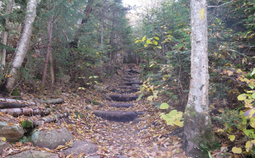
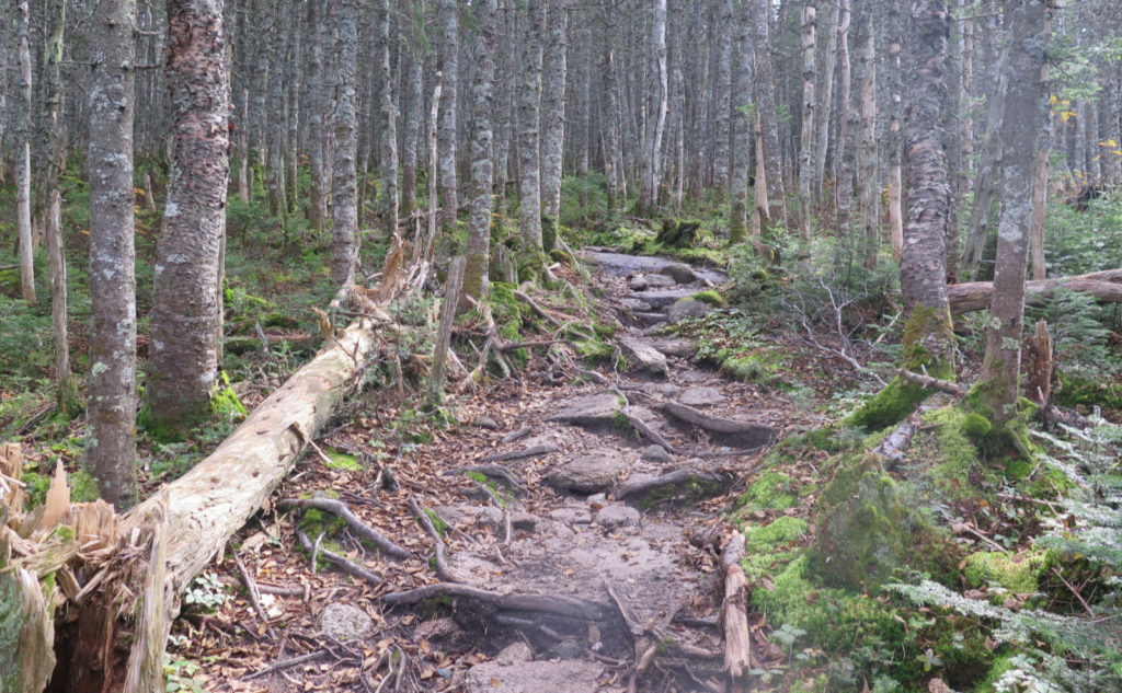
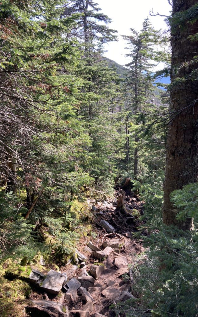
Today was the fifth time hiking these three peaks, and somehow, it failed to register yet again that the trail is lumpier and bumpier than I can possibly recall. I have no idea why. The first mile is quite flat and very pedestrian. After that? It’s not rocky on par with Daniel Webster Scout trail, but it’s not smooth either. For fairly decent stretches, I made quick time, but again for fairly decent stretches, I had to rein things in while I picked my way across rocks, roots, or some combination of the two. Worst offender was Willey, but the other two peaks had their share, too. Not awful, but not Goldilocks.
I keep wondering how this hike stacks against White Dot on Monadnock. Maybe better would be to compare it to Pumpelly. But either way, while the footing required some care, nothing was ever strenuous, nor was there any measure of even remotely serious scrambling. It strikes me that pondering that question isn’t going to yield an answer anytime soon. Either way, this isn’t the hardest hike in the Whites. If you’re starting your 48, this should slot nicely in your first ten, maybe even your first five or so if you can manage to be on your feet most of the day.
Were there people?
Heading up Tom, I met up with some familiar faces, readers of my blog. Last year (I’m told I was on Jackson, and this meshes with my blog post from the day) I met a husband-wife team coming down the mountain while I was on my way up. I doubt I’ll ever forget that he said it was a “slice of heaven” to meet me. And y’know what? It was that again today to meet the two of them heading up Mt Tom. There were other members of their cohort on the mountain, too, also readers of my blog. So much happiness was shared.
T-F-J is a great hike on its own, but with the southern Presidential range just across the street, and Mt Willard just off the same trailhead, many hikers are working on the 48 list. And so asking “where are you on your list” usually gets an expected answer. One I didn’t expect was “oh, around 300 or so, if you know what I mean.” Yes, indeed I did know, and at the moment, I’m at 197 on my grid. It was nice to have the different perspective on the lists.
What about stuff in general?
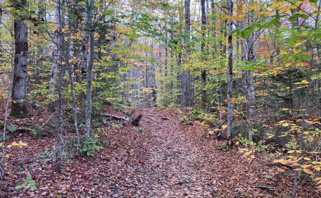
For the most part, the trail was “dry” for varying definitions. There was a bunch of mud here and there, but nicely, almost all of it was firm enough that sinking was a non-issue. Keeping on-trail, and avoiding erosion, wasn’t much of a problem. Indeed, it was nice to have a super-soft trail surface from time to time. Felt great under tired feet as the day wore on.
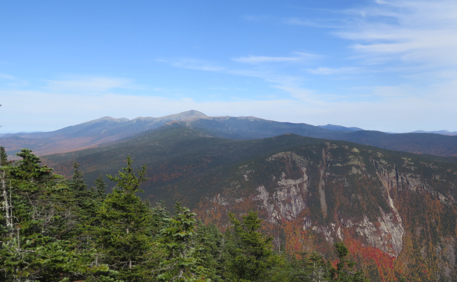
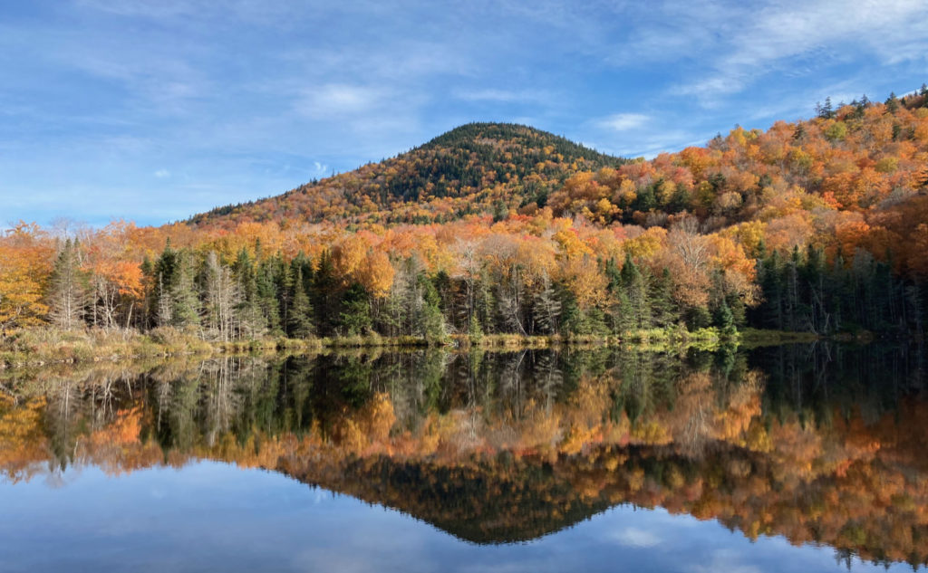
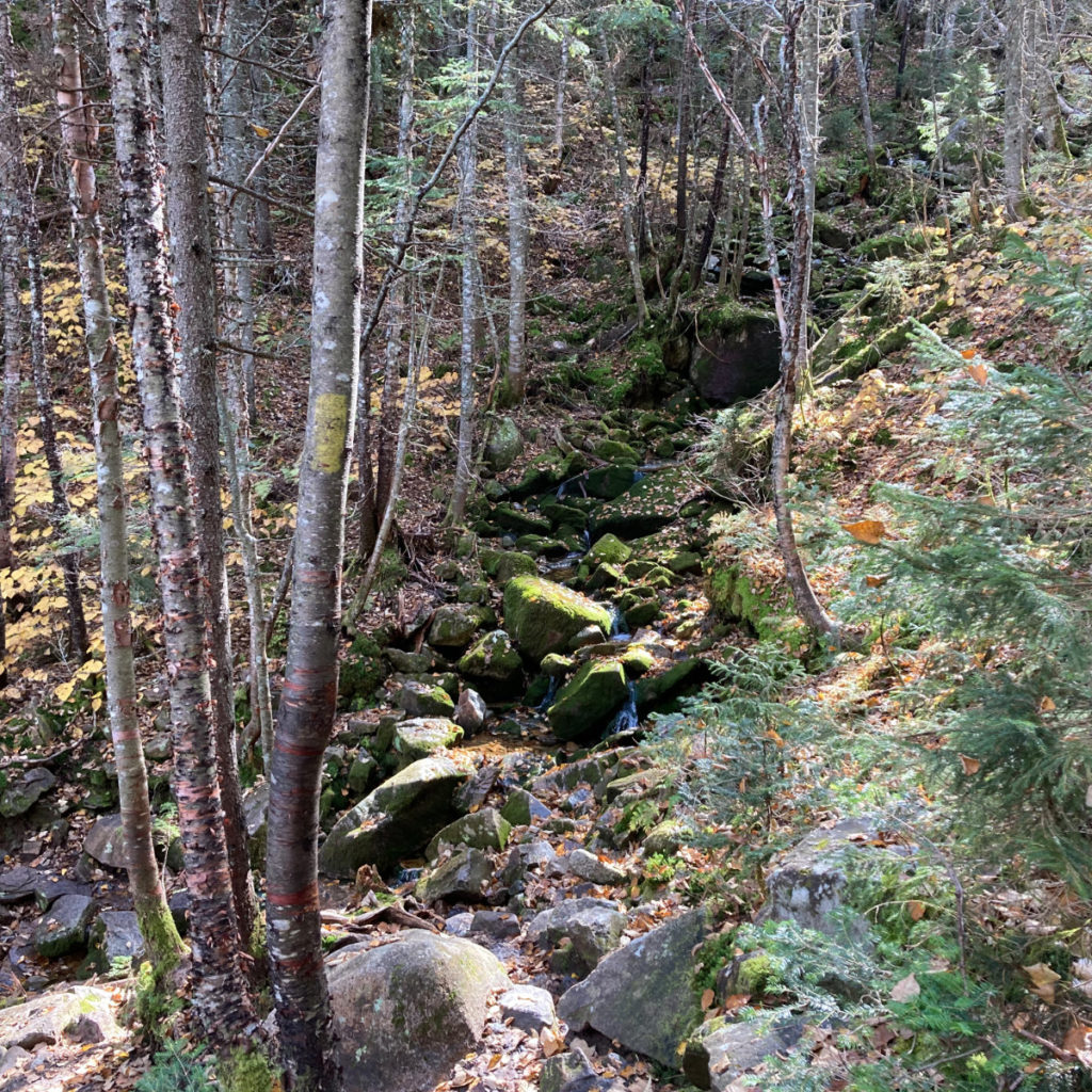
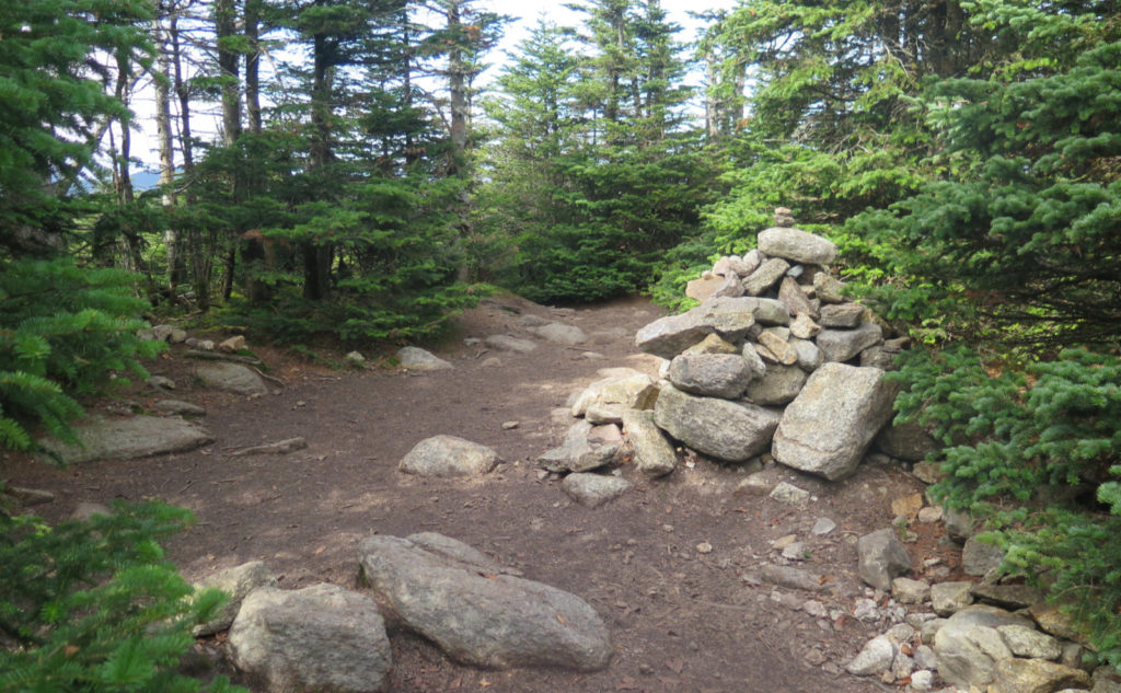
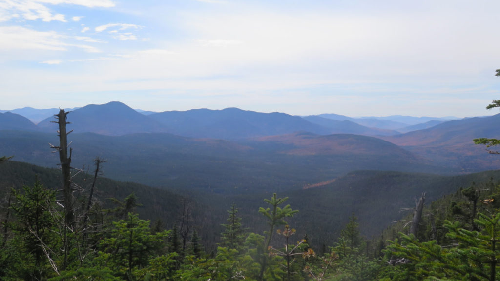
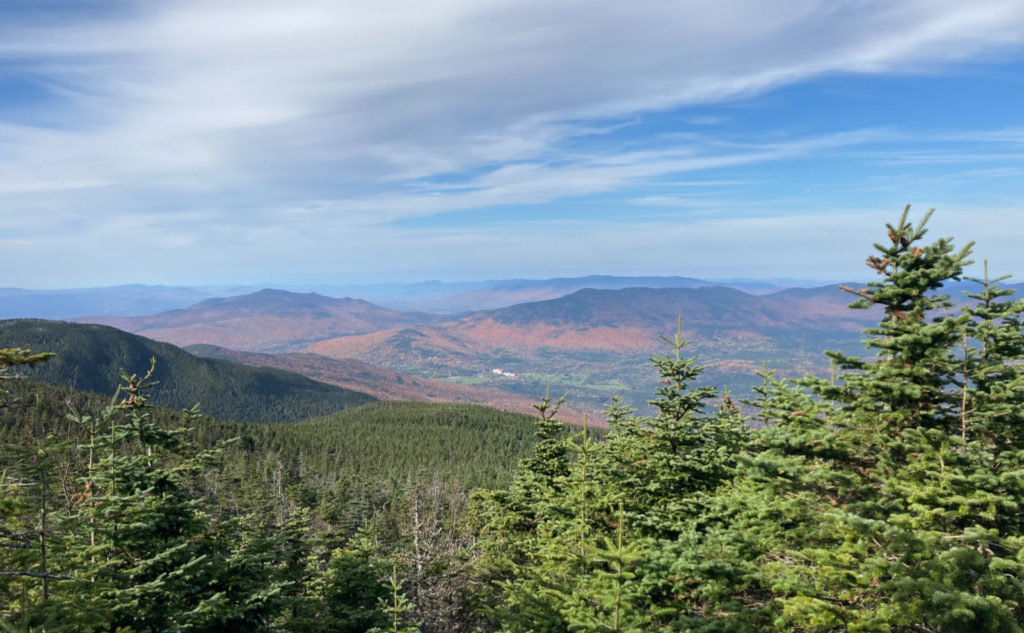
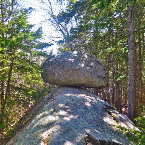
Filed under “other things I forgot” was that there are overlooks. Yes, the views are mainly inward, but crossing from Field to Willey, there was a great shot out to Carrigain, and across the valley to the Bonds. There was a haze, so discerning the further peaks was tough, but it was nice seeing the foliage in the Pemigewasset Wilderness all in yellows and oranges. It’s a placid and serene view. Out on Willey, views from the summit outlook (head past the cairn as if you were going to Kedron Flume trail, and you’ll find it in a couple dozen yards or so) took in Washington, which is always a treat, but even more spectacular was Webster Cliffs, laid out “just right there.” Wow. And turn the other way, and there’s Chocorua. There was some pesky high-level haze, but very nearly a curve of the earth day, as far as views.
So it was a good day. I jumped out of bed and got going early. By the end of the hike, I was pretty tired. I’m still feeling a bit out of shape from the lack of hard stuff this past summer. (The plantar fasciitis situation continues to improve, or at least I’m getting better at managing it.) It was the kind of bluebird day that would have justified going up to play on Washington, maybe even stroll across Monticello Lawn. That would have been a treat. But I did an old standby, a hike that continues to deliver the goods. I wasn’t on Washington, but I was in a great place to gaze upon that peak, which was certainly good enough.
As always, stay safe out there.
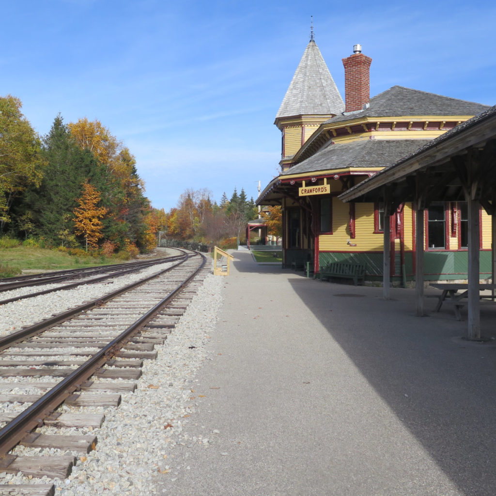
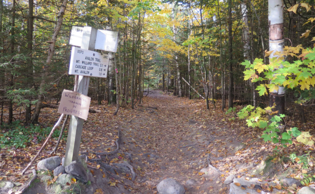

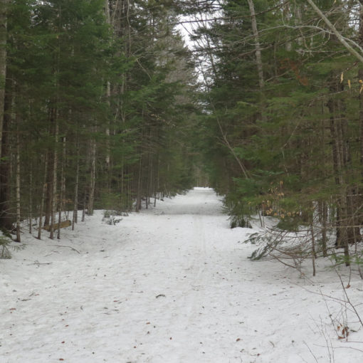
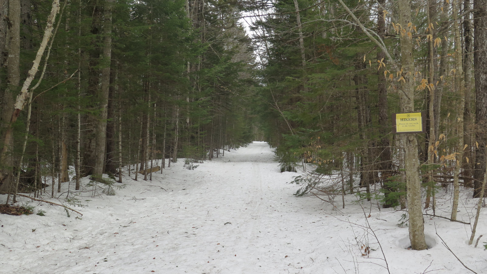
Nuts and Bolts: Avalon trailhead is at the Crawford Notch rail depot, adjacent to the AMC Highland Center on Route 302. Go to the picnic tables, cross the tracks, and if you can’t see the trail right away, noodle around a little. You’ll find it within a few moments. Especially at the trailhead, the trail is very nicely groomed.
Trailhead will be on the opposite side of the railway tracks. In summer months, beware of trains — those are active rails! The kiosk is in the woods, so look for white painted trail signs. Blazes are yellow on Avalon and A-Z, blue on Willey Range trail after Mt Field’s summit, and non-existent everywhere else. But realistically, you won’t need any of them. The trail is super easy to follow. You won’t even notice that there might be half a dozen blazes anywhere on the trail.
At the moment, the trail is in fantastic shape, but there are caveats. Not the least, it’s a tad muddy. Please do your best to soldier on through it, and not widen the trail or otherwise contribute to trail erosion. But also, at least today, the rocks were, in many cases, a bit sweaty, and some of them were covered in a thin layer of leaf snot. What looks like good footing could be slippery enough to land you on your butt long before you could say “Jack Robinson.” Regard any wet rock as greasy until proven otherwise. (And by then, you’ve gotten past it, rendering the question moot.)
Also, also… I saw a few new hikers on the trail today. Overall, Tom is an easy hike. The trail is wonderfully maintained. You’d have to outright try to get lost. But that said, if you’re hiking without a map, please re-think that strategy. Especially within a 15 minute drive of the Highland Center, you can always drop in, and get either a map, or (better yet!) a copy of the AMC’s White Mountain Guide. While you’re there, get a headlamp. In the ideal, you’d get a compass, but that requires actually knowing how to use one. Maybe check my post on how not to get lost?
If you enjoy reading these posts, please subscribe — stay in the loop! Your email will only be used to alert you of new posts — typically 1-2 times per week. I will not use or share your email for any other purpose without your express permission. And feel free to share via social media using the buttons below.
Find me in the mountains, on this blog, or on Twitter: @Protean_Hiker