
Mt Isolation (4,004 feet). Sargent’s Purchase, NH. 2021-03-23 (Tuesday.)
Via Rocky Branch, Isolation trail, Engine Hill Bushwhack, and Davis Path. Approx. 12 miles round-trip. Approx. 3,600 feet elevation gain.
40 dF at the trailhead, approx 50 dF at the summit. Winds were non-existent in the trees, a light breeze (maybe 2-4 knots, if that) at the summit. Bright sun throughout the day.
Trailhead: 1000. Summit: 1500. Car: 1900. 9 hours.
The mountain lived up to its name — it was mine-mine-mine-all-mine!
Spring is here! And while part of me starts singing a particular Tom Lehrer tune whenever I hear that phrase, today, the birds’ music was very appreciated. A few weeks ago, I transitioned to a new work schedule that opened up hiking on Tuesdays, and so far, I’ve been enjoying the sunny days that (anecdotally, at least) seem to fall earlier in the week. But sometimes, there can be too much of a good thing.
Gorham was forecast to hit 60 this afternoon, and from what I experienced, I don’t doubt it happened. Officially it’s springtime, and while March does indeed go out like a lamb, this is more like March going out like May or even June. Warm, brilliant sunny days don’t come every day, though, and one mustn’t waste the chance. Even if it’s outright weird that it’s almost summery when winter has only just passed.
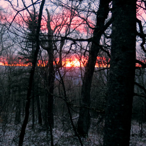
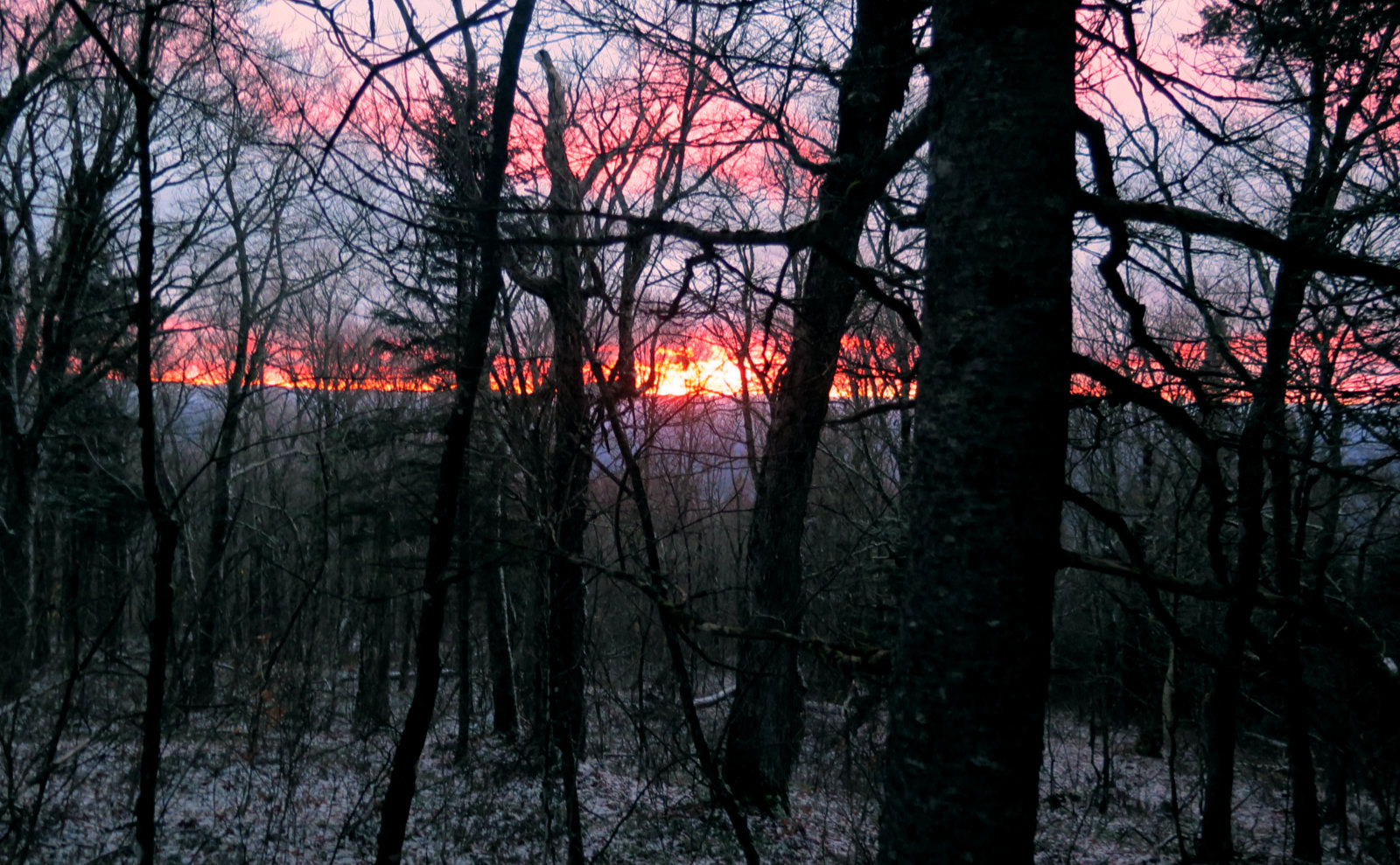
Just getting going…
I got a quasi-early start, and yet, somehow I keep forgetting. The trailhead for everything to the east of Washington? Yeah, it’s way longer of a drive than I ever seem to remember. Might as well have been driving to Cabot! But I pulled into the parking lot, and there was exactly zero other cars there. My last trips to Isolation have taken about 9 hours, and it was looking like I’d get at least that amount of time before sunset.
Usually it takes me a few minutes to get things together at the trailhead. A few of my things live in my car when I’m not actually hiking, so I have to gather that all together. And then lace up my boots, put on traction, that stuff. In all that, a car appeared. I’m not going to be so isolated after all. But then it turned out to be a skier, looking for what dribs and drabs of snow was left. Yep, the mountain was mine. Number of hikers on Isolation? One. Textbook.
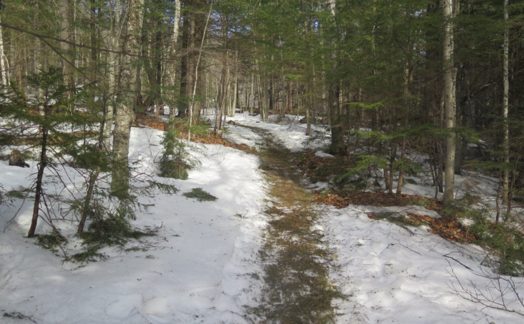
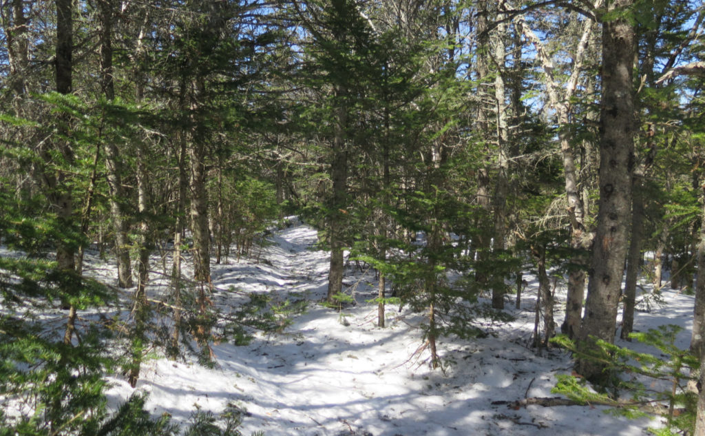
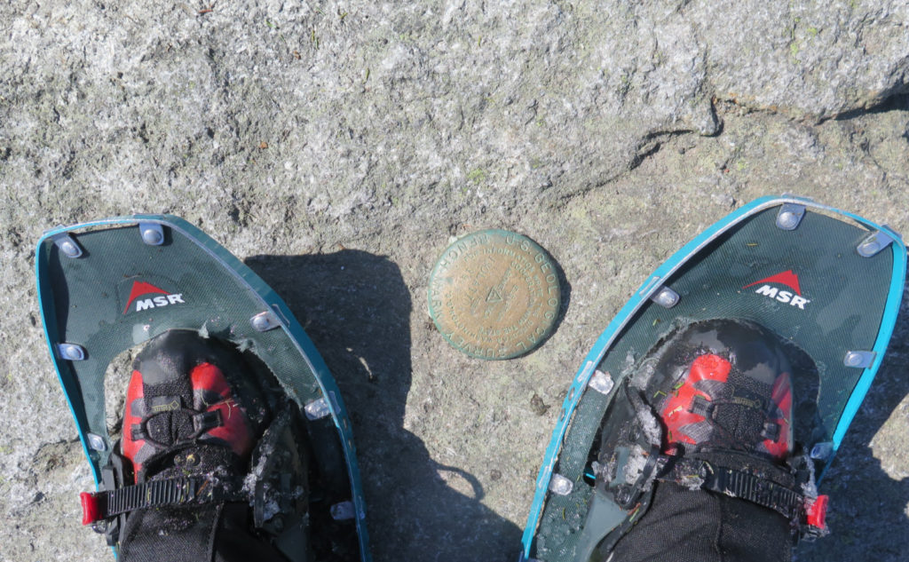
Somehow, it never registered until today that Isolation, despite being barely 4,000 feet tall, utterly stuffs it in your face when you start. From the beginning, I climbed, and that lasted until I was at the top of Engine Hill. Wow, that got my blood flowing right quick. I’d started out with micro spikes, after seeing the opening 100 yards or so of trail being hard ice. But shortly after, it turned to mash potatoes. I endeavored to suffer a mile just on principle, but finally, I stopped and switched to snowshoes. The warm weather is doing a number on the snow, for sure. Not long after that, the warm weather started doing a number on me: my long sleeves got stuffed in my pack, in favor of a lightweight tee. Did I mention the warm weather? Look ma, no mittens! Woo-Hoo!
Bushwhack!
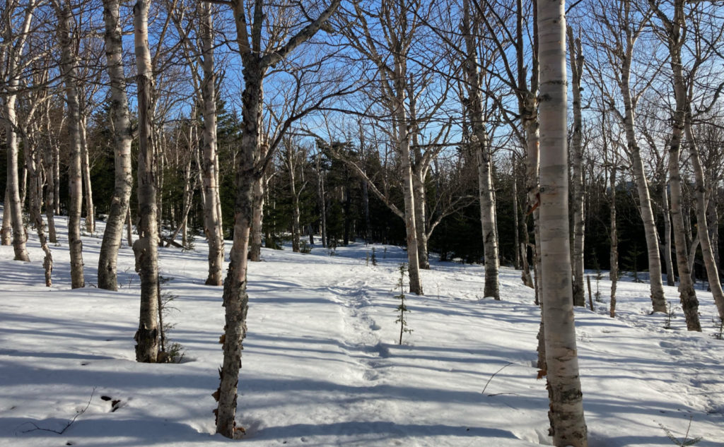
I’d planned on doing the Engine Hill bushwhack, after reading several trip reports on NETC. Pretty much everyone lately seems to be doing that one, and while I did see tracks going up to the river, following the bushwhack off the main path wasn’t hard, at least until the second half.
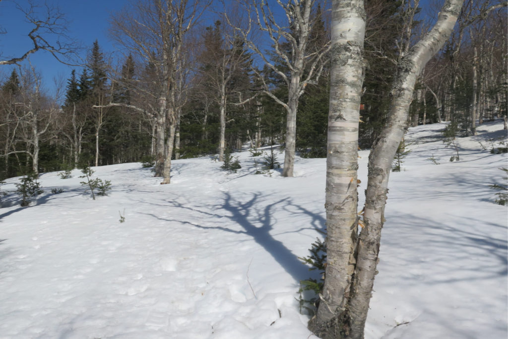
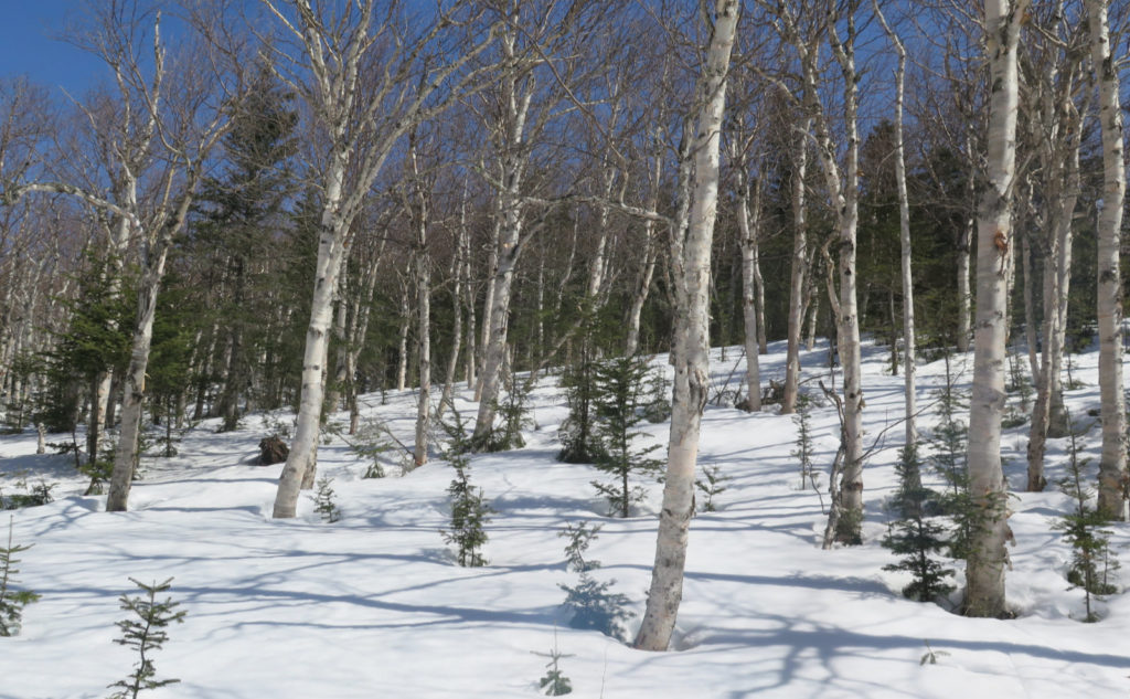
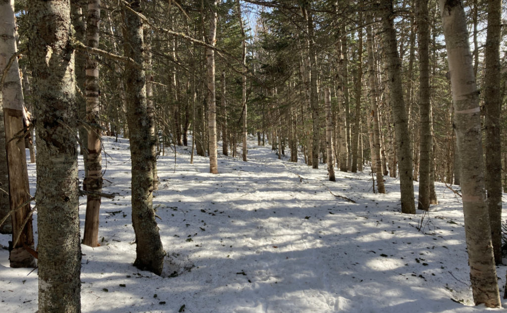
My first time summiting Isolation, I came back by the ‘whack, and was instantly smitten by the massive birch glades. I’d snooped around in the summer, last time I was up these parts, but couldn’t find a logical entry point. I want to look around again, but I think mercifully, the understory grows in thick during the warmer months, protecting the secret from the hordes. You’re literally looking for certain trees that are missing certain branches. Think of how Indiana Jones knew to press on certain bricks in order to make the wall reveal the secret door. Or a similar scene in The Fifth Element. Without knowing precisely what to look for, you’ll go right on past, blissfully unaware. To me, this is A Good Thing.
(Thoughts on etiquette)
Especially now with the internet and GPS making everything easy to find, we need externalities to keep some places more pristine than others. I’d hate to see tour busses stacked up in the parking lot, like you see on Washington. (And coming soon, Lincoln and Lafayette.) I’ve found that people who have to work a little harder to achieve tend also to be the ones who go a little further to minimize their presence. The ones who don’t share their music with everyone on the mountain. The ones who pick up litter. The ones who quickly share trail knowledge, but also know enough to preserve the stillness of a serene summit. My kind of people.
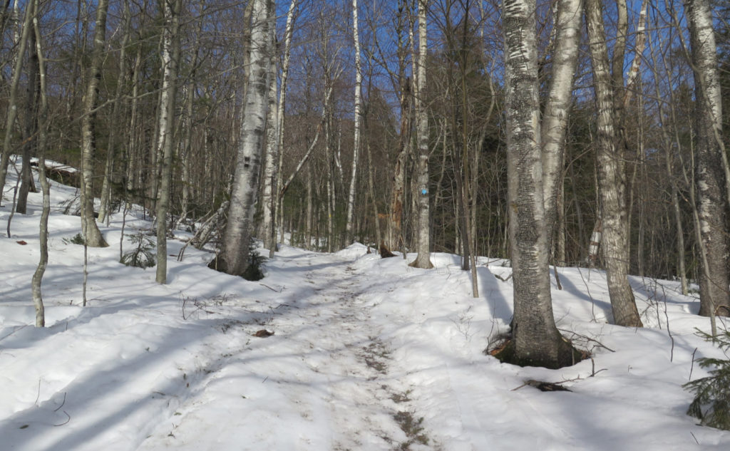
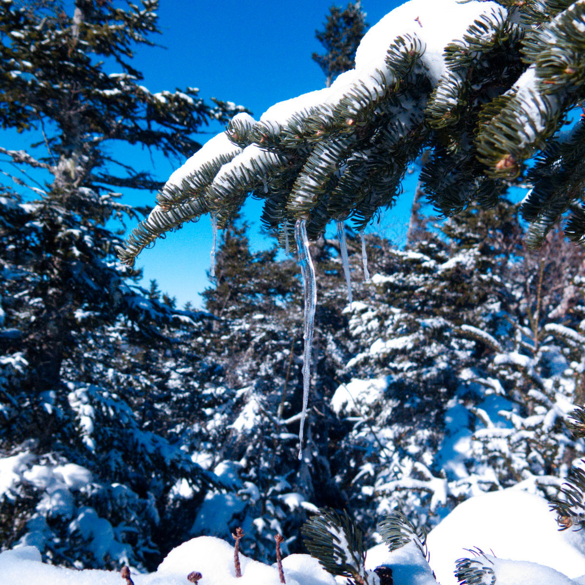
Color, light, form
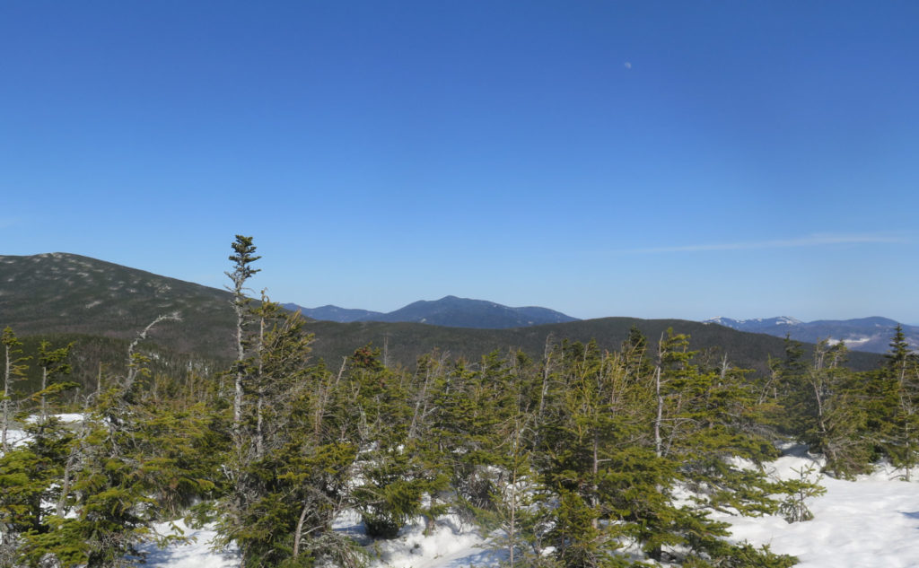
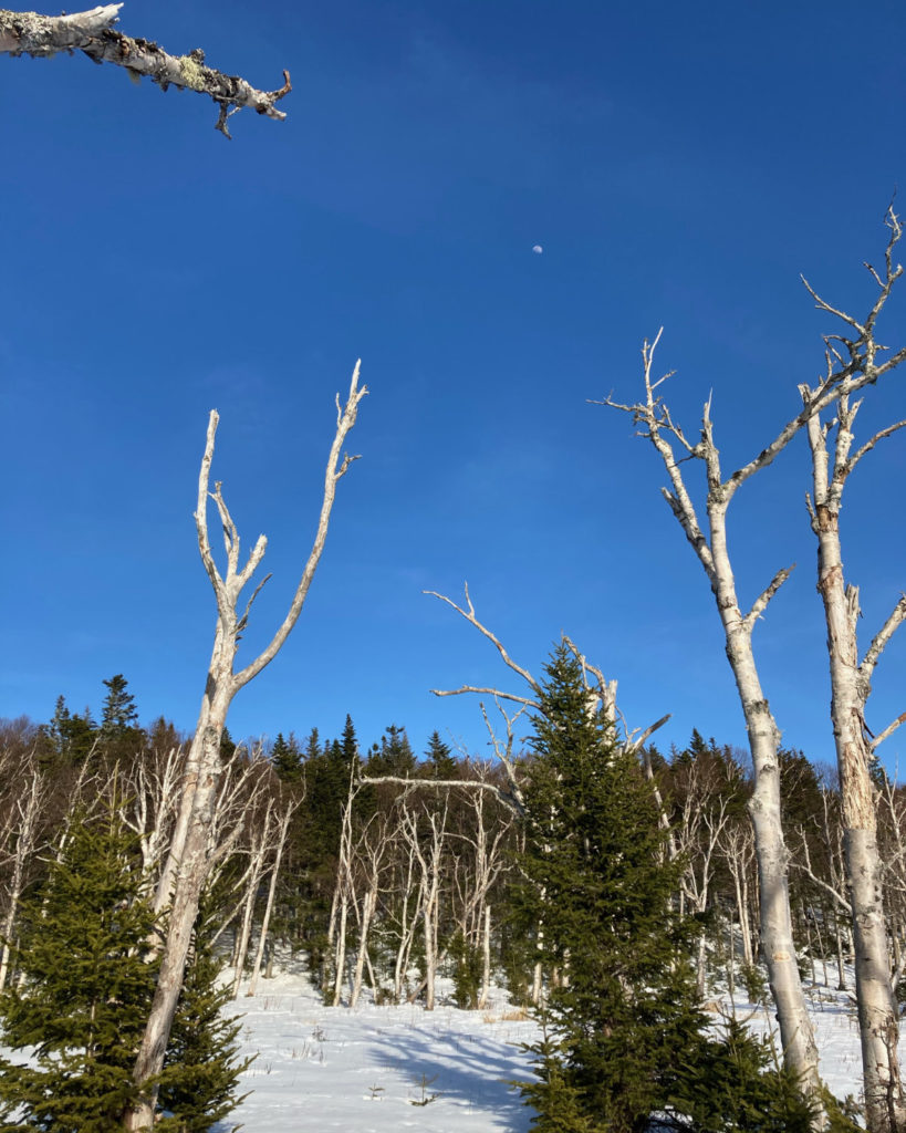
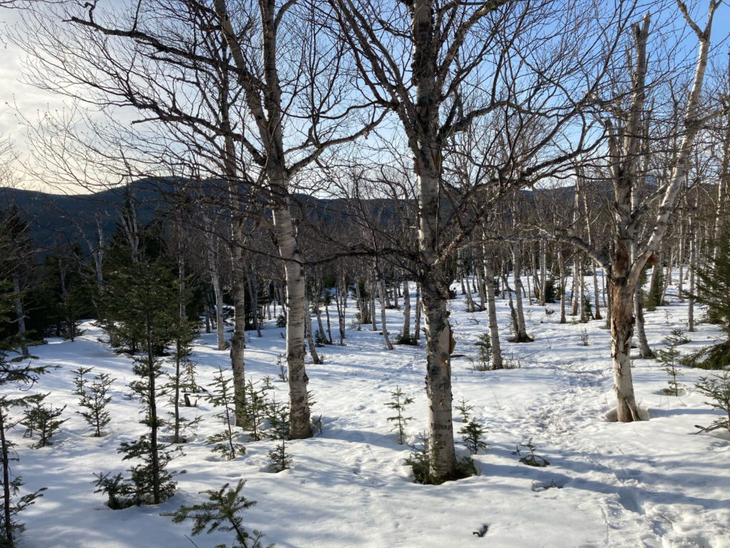
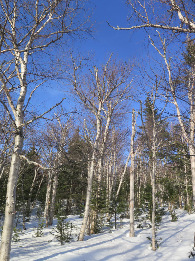
Anyhoo… I passed through seemingly endless birches, their arms thrust into a perfect azure sky. Pure white, cobalt blue, silver. Occasional spruces dotted here and there, and a slight hint of red. There were what seemed to be the earliest overtures to buds on the trees… its way too early yet, but there was a breath of anticipation mingled in with the breeze.
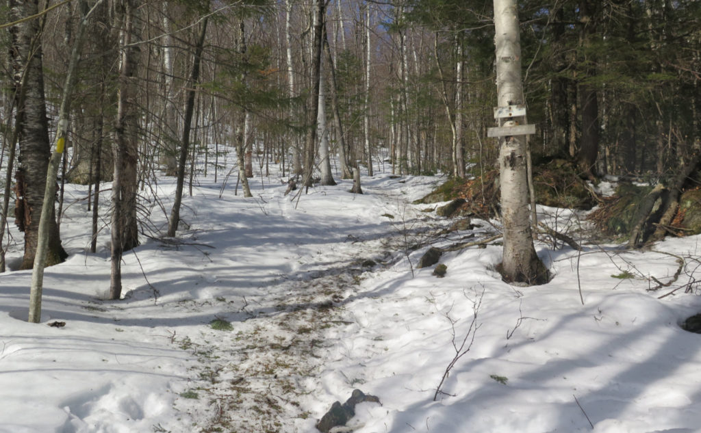
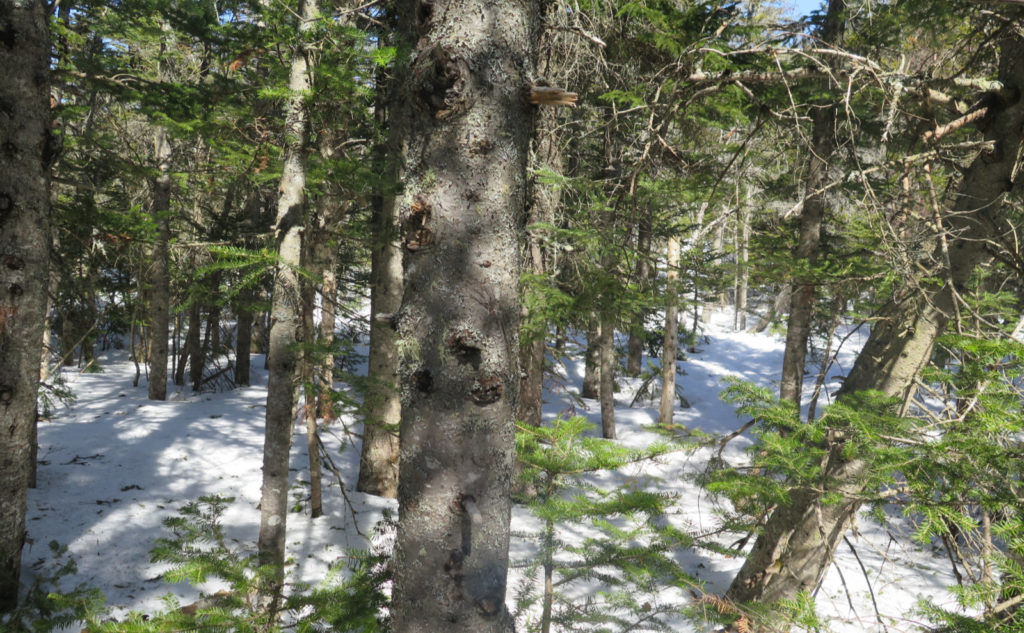
Back in the trees, I bumbled my way along, trying to follow the path. It meandered, I lost it a couple times, but eventually, I emerged, back on the main trail. Near the junction with Davis Path, the trail diverged to the left, just at the “unmarked” tent site. I followed the herd that couple hundred or so yards, finding out later why I was thankful to have done so. Yeah, blowdowns. Not terrible, but taking the short-cut made a little more sense.
Finally back on the trail…
At this point, I was getting a bit tired. Winter hiking (and that means anytime the weather and snow on the ground makes it “wintry”) means a heavier pack, plus heavier boots, plus snowshoes. It chips away, and where I can almost effortlessly blast out a dozen miles in the summer, yep, I was certainly feeling the burn, even with only a mile or so left. It felt good having the summit close at hand, and only a moderate amount of climbing left… except for that last pop at the summit, but hey, it’s just a pop. Blue sky, and increasingly intense sun meant one thing: this is it. I sallied forth!
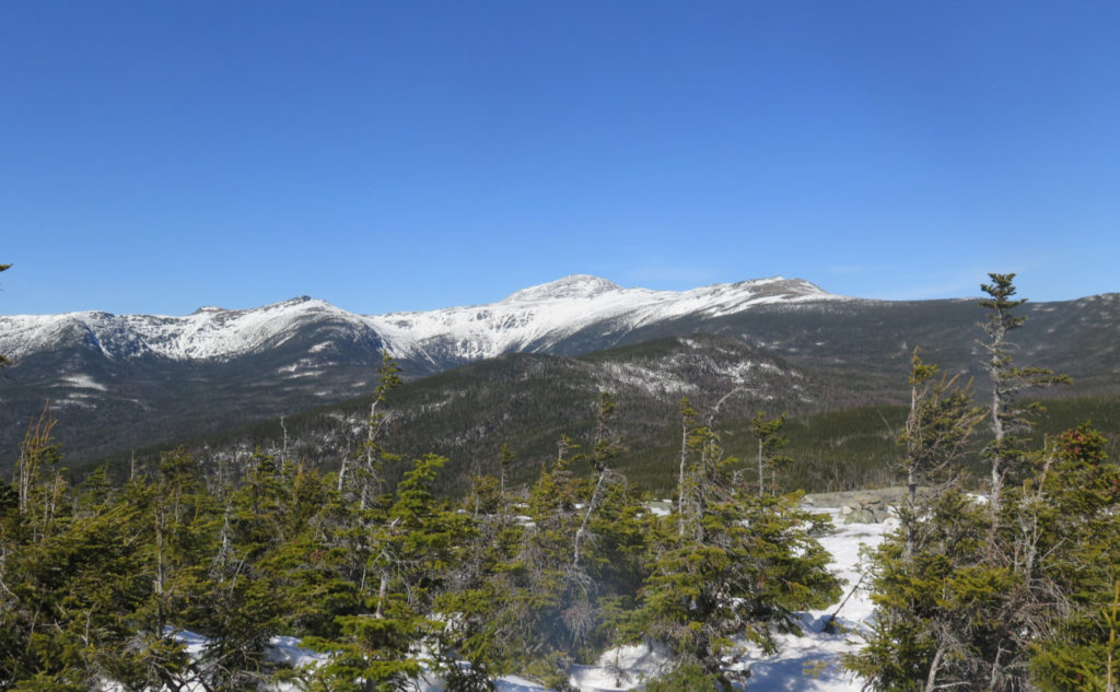
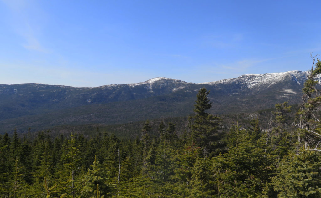
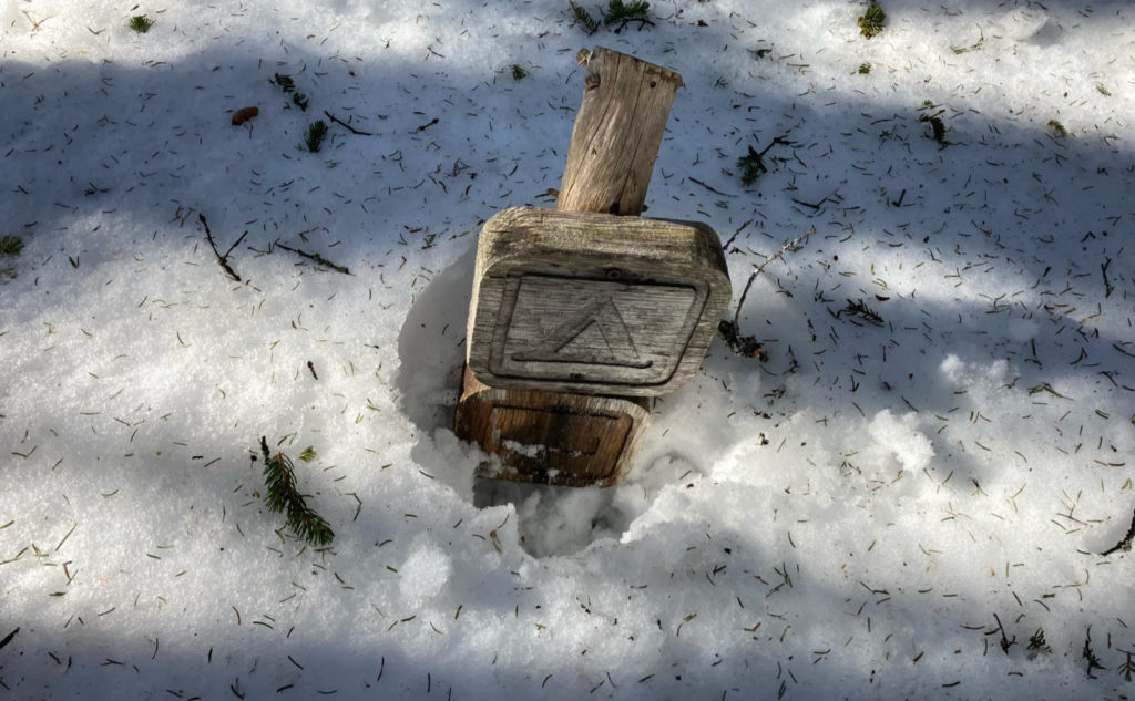
The col sticks in my head for some reason. It’s pretty easy going, feels at once embracing, and yet not too much. Friendly, in a way. It’d be nice if it were easier to access, but maybe that remoteness is part of it. I was losing myself while I passed through, and then wow, there was that small, familiar sign, with an arrow pointing to the right. About 100 feet of straight-up, pounding elevation gain. The anticipation that the summit was all of two minutes away pushed me forward and upward. And then the trees fell away, that familiar view of the south side of Washington, being in the middle of that most impressive amphitheater that is the southern Presidentials. Wow!
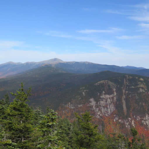
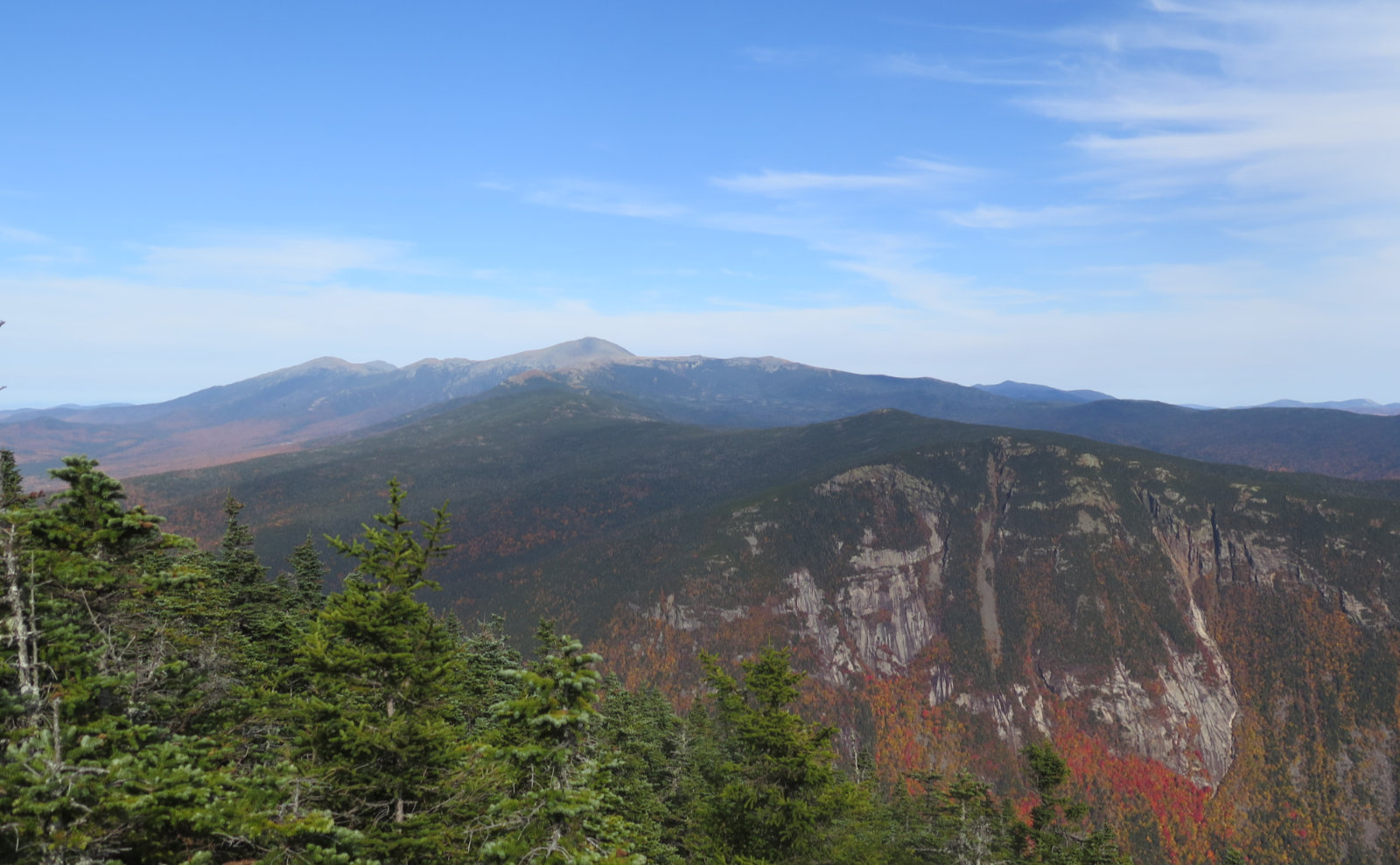
Oh wow, that special view from the summit!
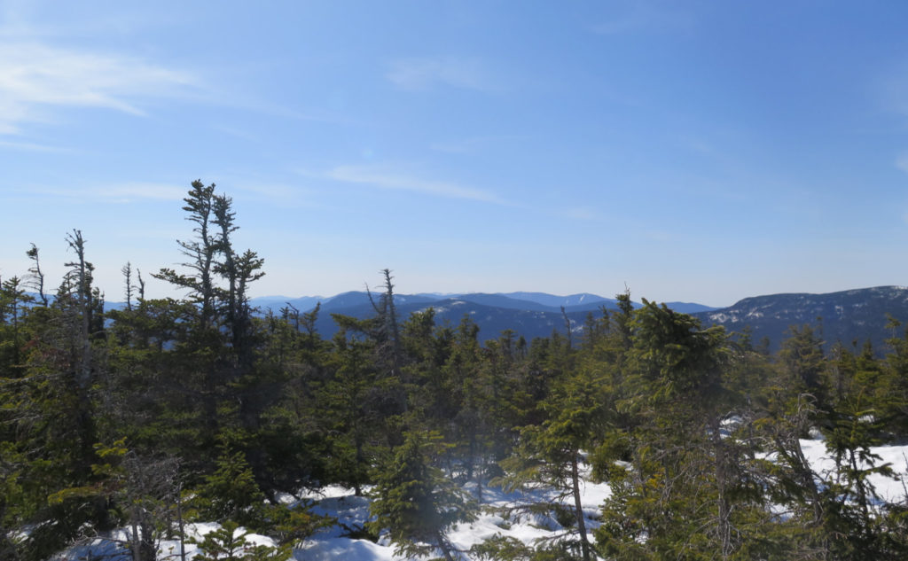
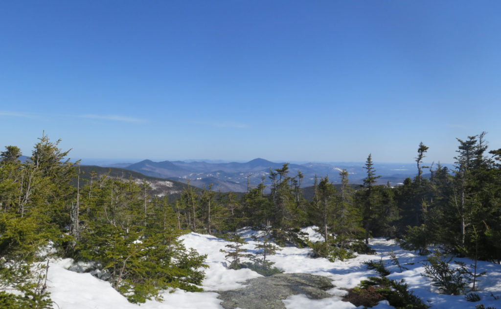
That panoramic view never gets old. It was a thin sliver, but I could see out to Franconia Ridge. Most impressive were the sights closer in. Monroe from the west looks like a tiny hump off to the side of the main attraction, but from here, it appears much more stately, much more presidential. Eisenhower is still that perfect, round dome from this side, still handsome. The Carters, Wildcat… nice.
I think the beauty of Isolation’s summit is that in a way, you’re almost in an oubliette. I’ve never seen more than a thimbleful of people on the mountain, even fewer on the summit. Unless you’re working on a list, this one’s not getting your attention. And that’s its charm. You have space to look around. Space to think. Space to listen to the wind. And that’s what I did.
As always, stay safe out there.
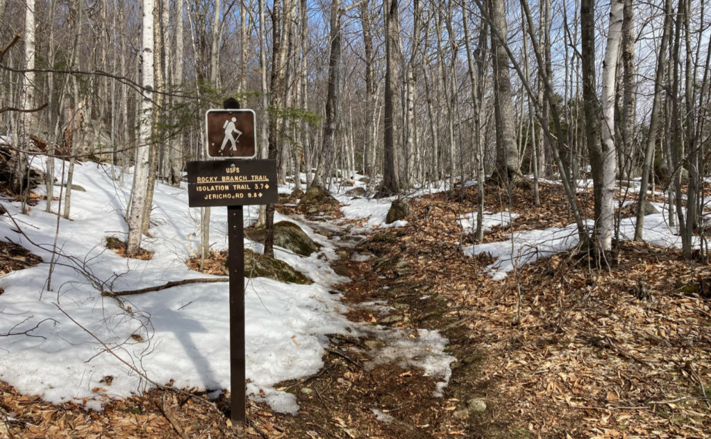
Nuts and Bolts: From Gorham, turn south on 16. Drive past the Pinkham Notch visitor center and then look for the Rocky Branch Trailhead sign a bit more than three miles after that. You’re looking for a small brown sign (as opposed to the larger yellow and brown ones) and it’s on a very unremarkable section of Route 16. That said, if you keep your eyes peeled, it’s not hard to spot. The road in is typically plowed, as it’s also the trailhead for a couple of x-c skiing trails.
Trailhead will be at the far end of the lot, away from the road. Blazes are yellow and basically end at the wilderness boundary.
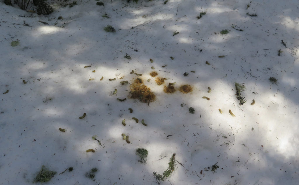
I summited on a day that had exceptionally unseasonably warm temperatures and abundant sunshine. More warm days (read: “well above freezing”) are in the region’s forecast, with rain expected, not snow. Even the nights aren’t going to be all that cold. As I see things, upcoming weather is more like late April than late March, at least for the near-term. That’ll be enough to make a dent in the snow and ice cover, complicating travel.
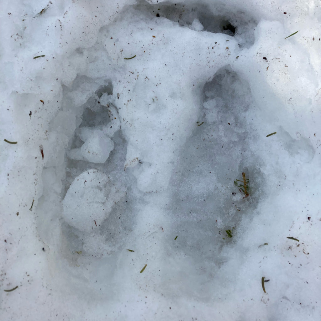
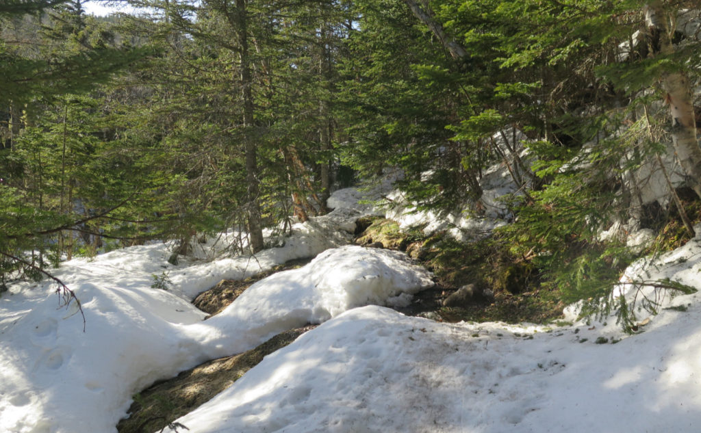
All throughout my hike, I heard or saw signs that the snow is melting rapidly. Ice bridges over any seeps or drainages might have been fine early in the day, but on the return, were showing obvious signs of weakness. As such, for any hiker planning on taking the conventional route (sans bushwhack) where the trail crosses the Rocky Branch of the Saco River several times, I would examine any water crossing carefully, with an eye toward “what will this be like a few hours from now?” The mountain seems to be shedding a lot of water at the moment. The last thing you want is to be stranded on the wrong side, and consequently on the evening news for the wrong reason.
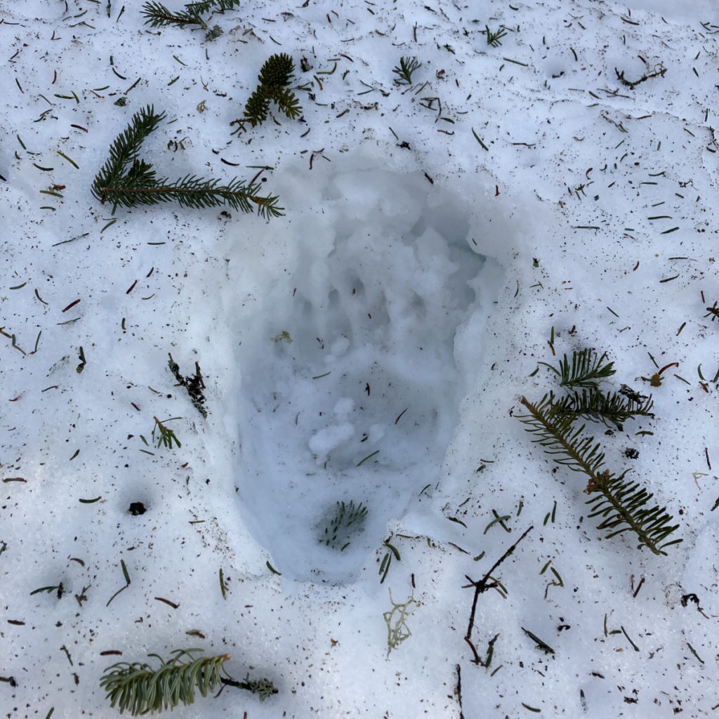
For those who know about the Engine Hill bushwhack, and are interested in hiking “real soon now”, be advised that the snow cover is getting utterly shellacked by the unseasonably warm weather. While things held together on my way up, on the return, I very frequently broke through the snow’s crust. Some of the footprints I made on the way up had mostly melted into obscurity on the way back. Also, several people (unfortunately, myself included in a couple spots) have made their own interpretations of the line, so the way going isn’t as straightforward as I enjoyed in 2018. But then again, it’s a bushwhack, not a formalized trail. Austerity is the name of the game. Your Mileage May Vary.
For those who don’t know specifics of the bushwhack, I will remain circumspect as I have for the Fire Warden’s trail, and not much more will be said here. Do your research, and remember it’s not a formalized trail. It’s not even a “trail” in the sense of the North Slide on Tripyramid. I recommend not setting out on this one unless you’re very sure in your abilities to navigate and overcome numerous unforeseen obstacles. Unlike the aforementioned routes, the Engine Hill bushwhack is austere, without any kind of blaze or trail improvement, be it formal or informal. You may find yourself making your own path forward. Especially now, changing snow conditions can render any obvious path forward invisible. It’s not for the uninitiated.
