
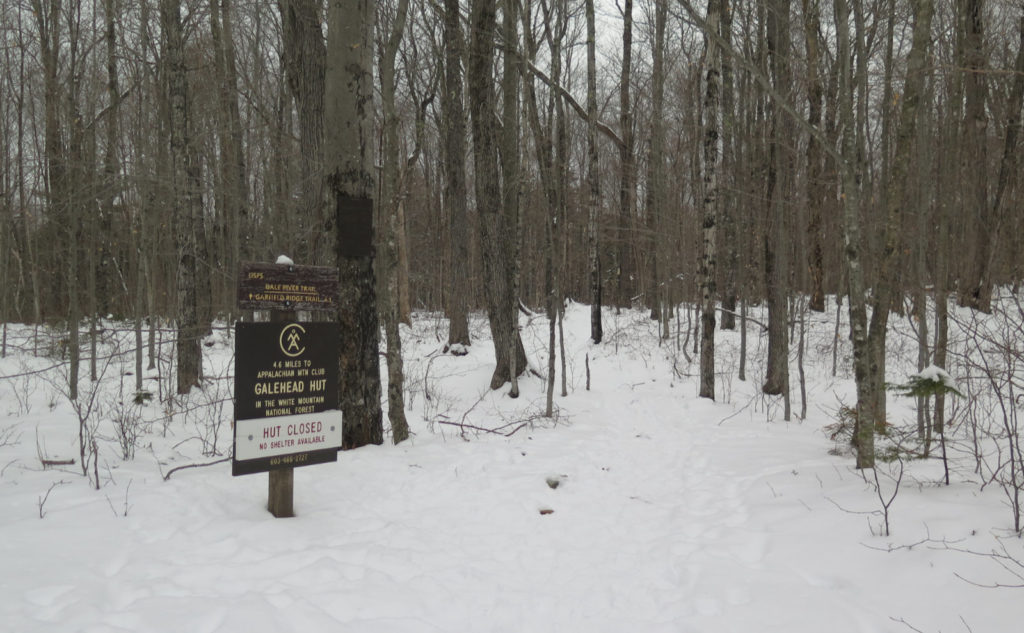
Galehead Mountain (4,024). Franconia, NH. 2021-01-14 (Thursday.)
Via Gale River Trail, Garfield Ridge Trail, Frost Trail. 10.2 miles round-trip. 2,450 feet elevation gain.
32 dF at the trailhead, 28 dF at the summit. RH ranged from about 60% to 80%. Winds were non-existent. Cloudy.
Gale River Road: 1000. Trailhead: 1040. Galehead Hut: 1400. Galehead Summit: 1420. Trailhead: 1645. Car: 1715. Approx 6 hours trailhead-trailhead. Walking to the trailhead, the fire road is about 1.6 miles: plan accordingly.
Soft Snow Sticking to Soles.
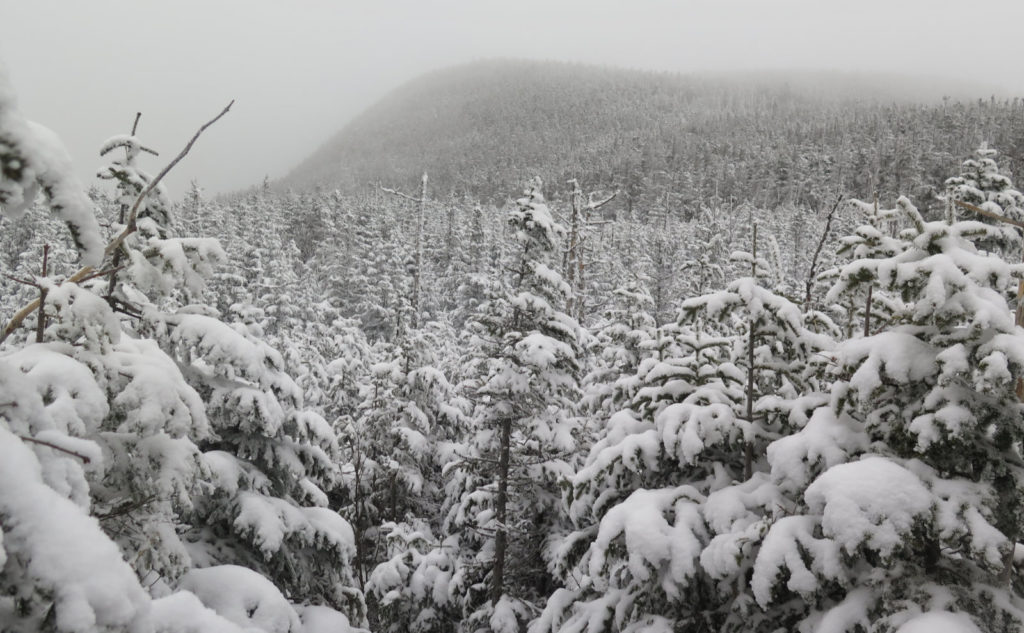
This is the third or fourth outing where it was basically nothing but clouds. There’s an argument that I had “keyhole” views on South Kinsman recently, but I certainly wouldn’t call them expansive. I mean, a few seconds each, with long, cloudy waits in between. in the sum total of the day, they were very much more cloud than view. Cannon and Madison were both the textbook definition of “socked in.” I’m ready to have a day featuring Mr Blue Sky. Would Jeff Lynne pick up the white courtesy phone, please?
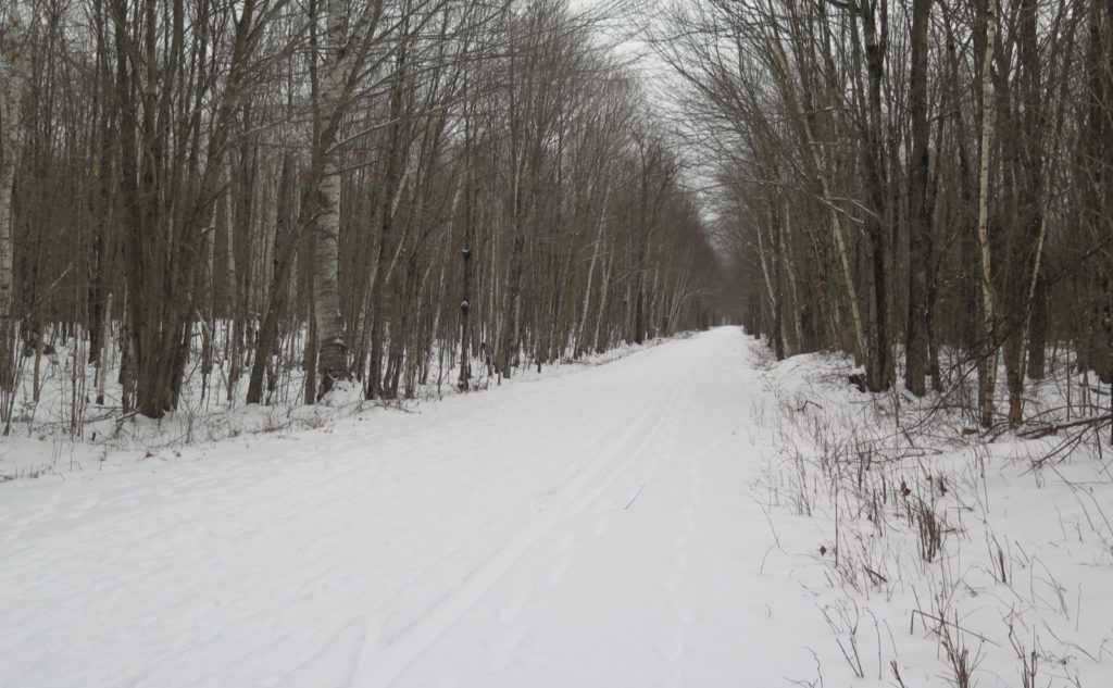
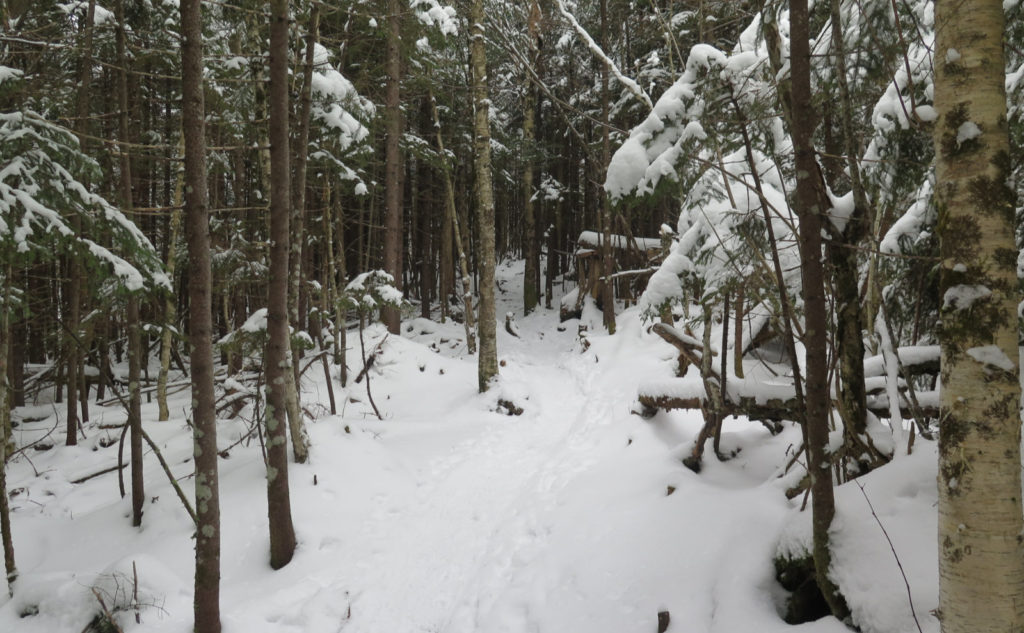
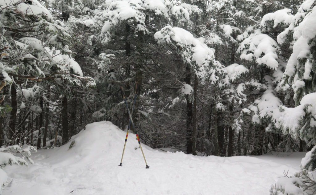
It was both a plus and a minus that the temps were very mild today. On the plus side, woo-hoo for warm winter walks in the woods. On the minus, there’s not much snow. This was a blessing and a curse, probably more a curse than a blessing. While not much has fallen, there are a few inches on the ground, mainly unconsolidated packed powder, that gives a bit too much with every step, and so saps a tiny bit of energy with each step. It wasn’t even remotely enough to necessitate snow shoes, but enough that micro spikes or light crampons were in order. I chose the latter, but I don’t think it would have made a difference either way.
The short of it is that balling was a huge problem. Again with the “clear snow off crampons, take a few steps, curse, kick snow off again…” It was an issue from about halfway down the fire road. If it were just the inconvenience, that would have been one thing. But after awhile, I started realizing the ache in my feet was directly attributable to the balling. It altered my gait just a small amount. But taken over the roughly 30,000 steps I took today, the molehill became a mountain. By the end of the day, my feet were screaming. Sweat small stuff like this, folks. It adds up over time.
I’m going to leave that there and move on now. I could gripe some more about the conditions, but for what?
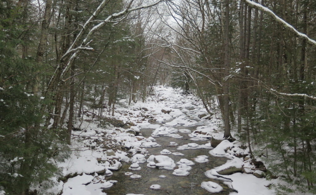
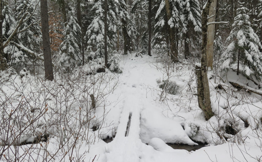
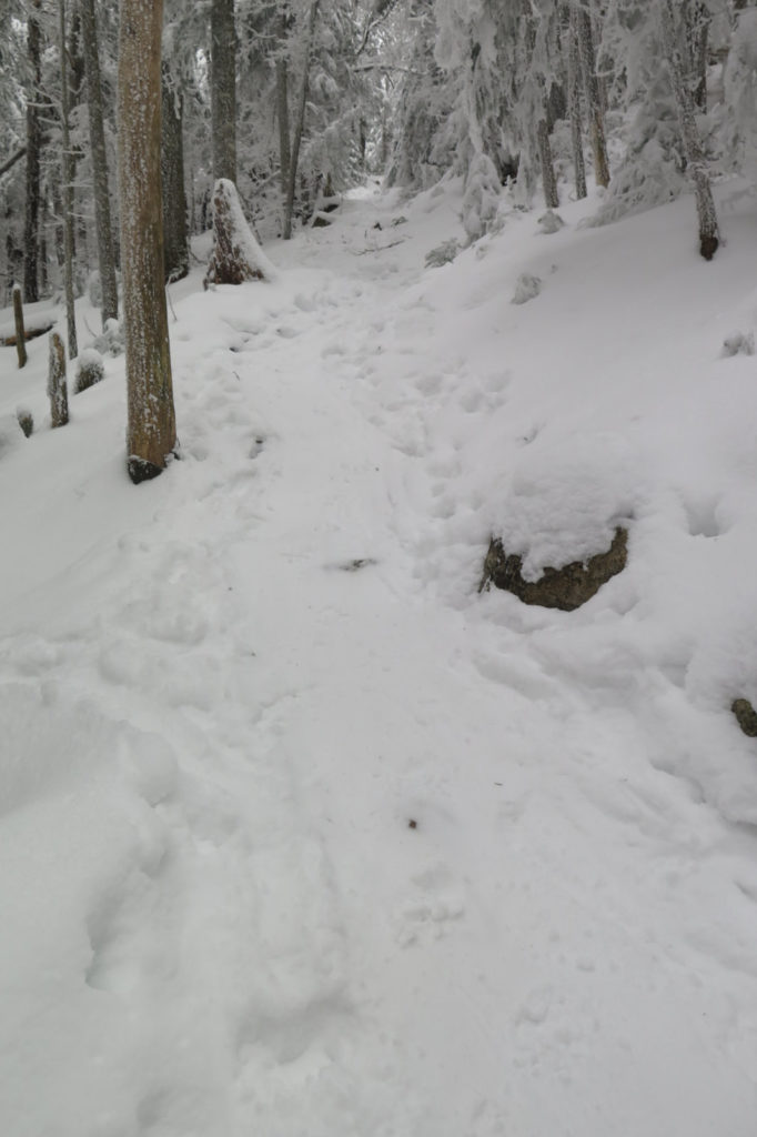
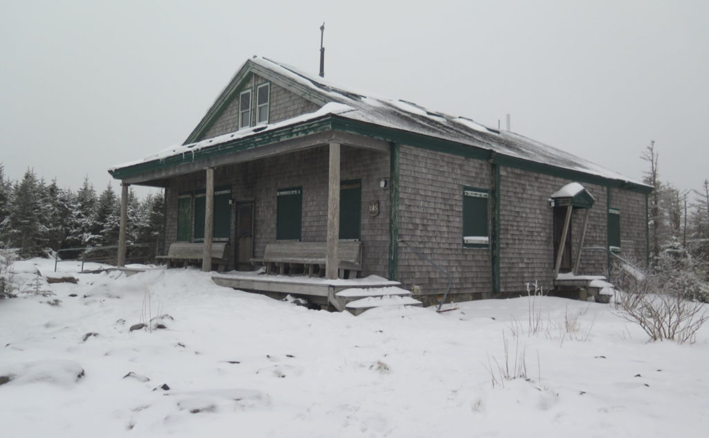
Galehead was harder than I remembered from my first trip. It’s also easier than I remembered, too. I think the hard bit amounted to a single, spirited mile that ended at the hut. For the most part, this hike follows a hockey-stick path. Long approach, punctuated by a stiff upward jolt. From the hut to the top of the mountain was a fairly pedestrian half mile. While it was indeed ascending the summit cone, it never felt all that strenuous. And all the water crossings along the way were one-hop wonders for the most part. A couple needed a single stepping stone. Obviously, this isn’t the most technical trail out there. If it were more gradual, it’d be a great stand-in for Cabot or Waumbek.
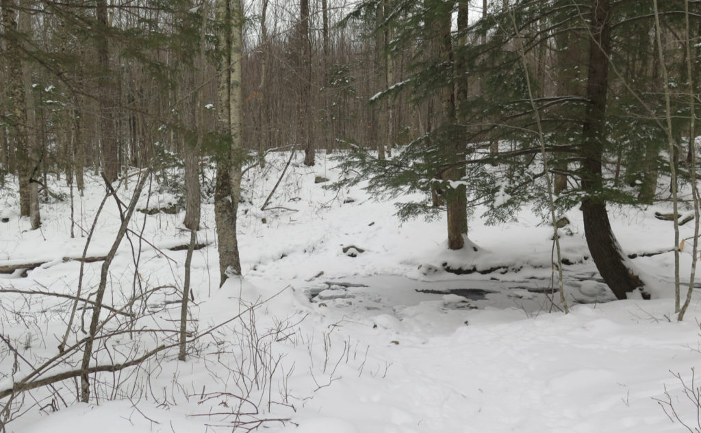
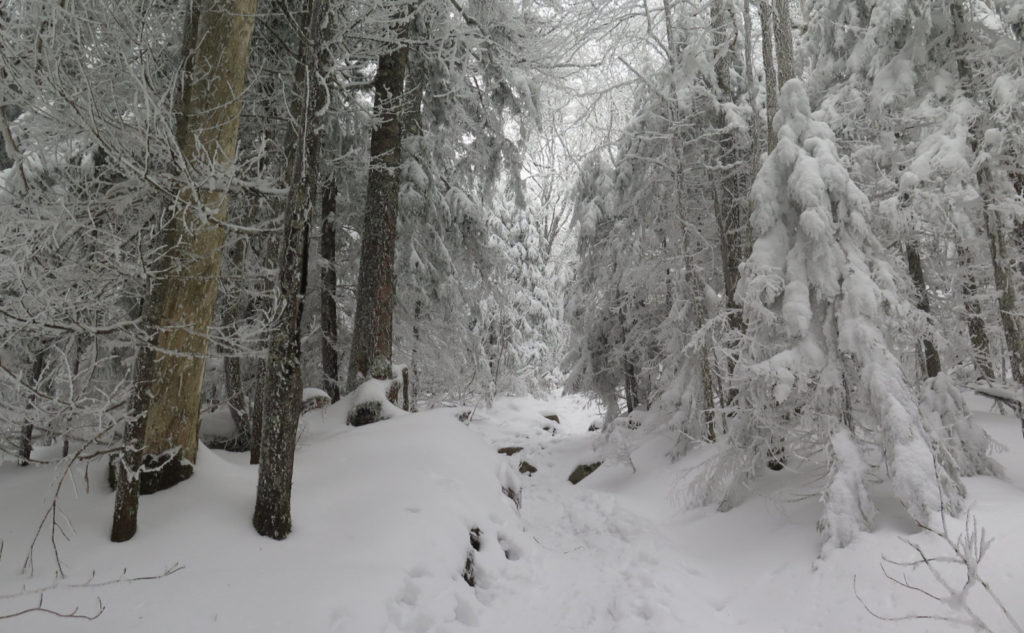
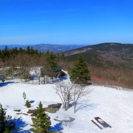
I just wish the views were more encompassing. I couldn’t even see the hut from the outlook. That said, the trees had some recent snowfall on their boughs, and that made things look quite nice in the upper reaches of the trail. Ascending logging roads for the first half or so, the remaining trails never felt narrow. There was a blow-down obscuring the trail in the flatter section, which I cleaned up with my folding saw and about 15 minutes of effort. Besides that, it was a pretty clean trail, and I could let my mind wander as I passed through a winter wonderland.
It was nice returning to the route I followed when I first hiked Galehead. My last two hikes up this way have been via the Pemi Loop, and I don’t regret that at all. But it’s one perspective, and colored by the fact that by the time I got here, I was on day two of being out in the woods. It’s safe to say I was in a completely different head-space at that point.
Today, I had so much fun that I want to do this one again in the warmer months — perhaps at a time when I can park closer to the trailhead — and spend more time looking at the plant life on the north side of the mountain. And, of course, I need to take the 13 Falls approach. Not just for my redline, but I’m reminded of the morning this past summer, when I saw a great spangled fritillary. You have to leave yourself open to surprises.
As always, stay safe out there.
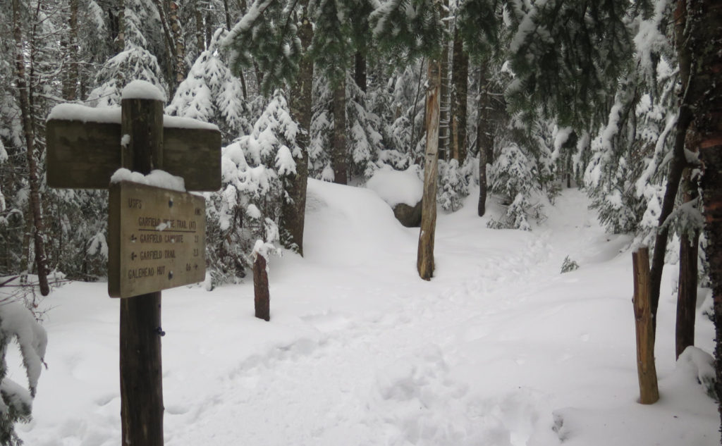
Nuts and Bolts: Head up 93, and get off at Exit 34. Drive around route 3 as if you’re headed to Twin Mountain. When you see a trailhead sign on the right, followed by a bridge crossing the Gale River, slow down. Your next left will be Trudeau Road, and there will be a sign for the Town of Bethlehem’s various services. Noticeable on the nearside is a small parking area. Leave your car there, cross the road, and walk more than a mile and a half down the fire road. Note that about a quarter mile down, there’s a split that heads downward to the right. Stay left. About a mile and a half down, you’ll see another split, going hard right. Follow it, and shortly thereafter, you’ll cross a bridge over the Gale River. Just past that is the trailhead.
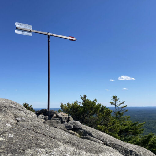
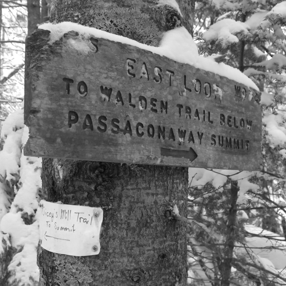
Trailhead will be behind the kiosk, but there’s another entrance from the parking area. Blazes are blue until you hit the junction with the Garfield Ridge Trail, which is the Appalachian Trail. At that point, until the hut, blazes are white as they normally are on the AT. Frost trail, logically, should be blue, but there isn’t much need for blazes on that trail. Just make sure you don’t go down 13 Falls trail (very obvious sign at the time of this writing) and you’re sure to hit the summit in short order.
If you enjoy reading these posts, please subscribe — stay in the loop! Your email will only be used to alert you of new posts — typically 1-2 times per week. I will not use or share your email for any other purpose without your express permission. And feel free to share via social media using the buttons below.
Find me in the mountains, on this blog, or on Twitter: @Protean_Hiker https://twitter.com/Protean_Hiker/
2 thoughts on “Trip Report: Closed-in on Galehead”