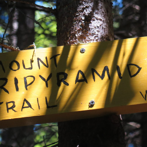
Mt Tripyramid: North (4,180 feet) and Middle (4,140 feet). Waterville Valley, NH. 2020-11-19 (Thursday.)
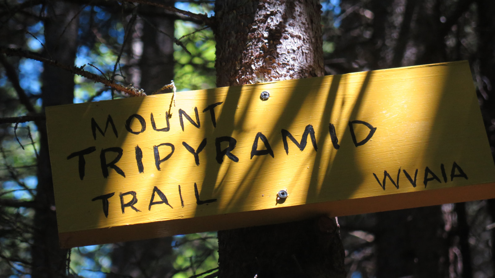
Via Pine Bend Brook Trail, Mt Tripyramid Trail. 9.6 miles round-trip. 3,400 feet elevation gain.
20 dF at the trailhead. Approx 34 dF at the summits. Winds were negligible in the lower elevations, about 15-20 knots approaching the summits and in the col. Wind chill was significant on the ridge, despite the trees. Clouds for much of the day, with occasional moments of weak sunshine.
Trailhead: 1030. North Summit: 1310. Middle Summit: 1340. Car: 1630. Approx 6 hours.
Thankfully, no tragedy. But not much comedy, either.
Somehow, I’d forgotten that this side of the mountain is serious business. Also somehow, I’d conflated the Livermore approach with an overly long walk to get to the meat-and-potatoes of the hike. Last somehow, I have a sense I’ll be just as forgetful the next time around. Because me.
Oddly, I was reading Walter Benjamin’s essay “The Work of Art in the Age of Mechanical Reproduction” recently. I forgive anyone who raises their hand and say “What? Who?” If you’ve not gone to art school or otherwise studied aesthetics, the short of it is that it’s an examination of what happens to the paradigm of art, now that we have technologies that can provide exact copies of an artwork. And I was thinking of the fact that I’d done this mountain three times already, in noteworthy style. It’s not making endless prints of the Mona Lisa, but at the same time, what changes the more times I hike a mountain?
These two peaks feel like so much history for me. Tripyramid will remain with me as the second and third peaks of my original 48. It wouldn’t have been as noteworthy, except my first bid was an ill conceived adventure up the North Slide in February. Epic, but wow, what a lousy idea. Thankfully, my second bid up the North Slide went much more according to plan, and my second bid up the mountain, period, also went according to plan.
It’s for those two hikes especially that these pesky peaks are ingrained in my consciousness. And hey, the second trip up featured a moose — although I don’t remember one specifically, there was probably a squirrel somewhere on the trail as well. (Russian secret agents were conspicuously absent, as were mounties.)
For all the pain and suffering I’ve experienced on the mountain, making some sort of peace with these peaks happened last summer, at the top of the North Slide, when I finally conquered that demon. But the arduous trails remain stuck in my head, and so I never feel as excited to hike this bad Larry as I do when I’m heading to the Presidential range. Adams almost literally extracted a pound of flesh that Tripyramid didn’t. You’d think…
Going back to Benjamin’s essay, I’m still mulling over what happens to a trail or a mountain the more times you hike it. With the 100-odd times I’ve hiked Monadnock, you’d think I’ve thought of this already, and to some degree, yes, I have. But hashed it out? Huh. Yeah, the mountains have given me much food for thought. So stay tuned. I’m not sure this is a question that will be answered, or if it’s even answerable. It might just fall into the category of “what is the sound of one hand clapping?” Ponder, never answer, and at some point realize that the pondering is the answer. We’ll see.
Steering back out of the metaphysical realm…
Today didn’t start with a trip up Pine Bend Brook trail. No, it actually started with me heading up Downes Brook trail, and if you think that’s a trail that heads up a peak some distance to the east, you’re absolutely right. (Also, “up Downes” sticks in my head for perhaps obvious reasons, but I couldn’t leave that hanging like that.) I woke this morning, thinking I’d be writing this trip report about a hike up Whiteface. But recall everything I’ve written about being safe on the trail. Today is a fine example of where all that intersects. The opening of a trip report that alludes to all the fine reasons why it’s better to turn around than get yourself in the wrong kinds of trouble. And tangentially, why having a plan B, C, and D trumps just about everything else. You picking up what I’m laying down? Good!
Downes Brook trail crosses the brook about ten times. When I got to the third crossing, I was less than a mile up the trail, and almost an hour in. The culprit was ice: it was glazing the stepping stones that I needed to cross a very plump and somewhat raging brook. With the water level up no small amount, and temperatures in the 20s, it meant each of the crossings were non-trivial. In summertime, I could just wade as needed, but that wasn’t today’s reality. I’d tried to predict the conditions by reading trip reports, but sometimes, you have to accept that predictions are guesses, not reality.
I’d planned an out-and-back hike, so after spending an inordinate amount of time scoping out the crossing, and still coming up blank, I considered that I’d have to play this game again on the return. My “possible” hopes included a jaunt down the Kate Sleeper trail, from which I could descend and have a fairly short road-walk to the car, but at this point, I was burning time like gangbusters. Carried out logically, the sunset was getting ever closer. There was no way Whiteface from the Kanc was going to make sense. Time to cut losses and do something else. Tripyramid was just down the street, and it was on my to-do list. Fortunately, I’ve been here before: experience would stand-in for careful trip planning, but I had a fine grip on the weather forecasts, and was familiar with the trail. An on-the-fly backup was falling into place very nicely.
And speaking of “on the fly”
I really wish I could remember who first said it. But there’s an expression, that it’s useless to know the facts, unless you can walk among them. It speaks to an internalization of knowledge and understanding. You can make things up on the fly, because you’re not dependent on books or tables. You just know. And in a similar vein, at some point, you cease to walk along a trail, but rather, you walk among the trees. When people ask “how the heck did you notice that?” for the umpteenth time, you’re probably approaching that state.
But all that said, you should still have backup plans. And contingencies for when your plans hit a spot where things aren’t so smooth. For example, how would you react if you broke your ankle, miles from the trailhead?
Time to skip on down the road
There was one other car at the trailhead. Oh goody! I figured odds were fine that I’d have some alone-time. I’ve been doing quite a few hikes recently where other hikers abounded, and that’s fine. At the same time, work has been busy lately, and it’s not like I’m feeling crispy, per se, but doing some head-cleaning has also been on the to-do list. In its own way, the trail provides. I got going.
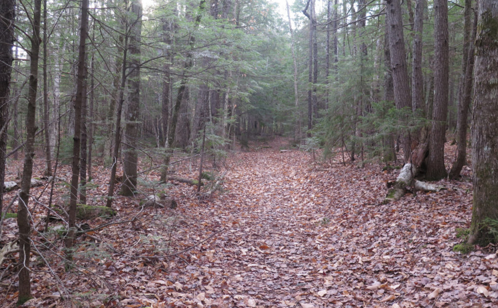
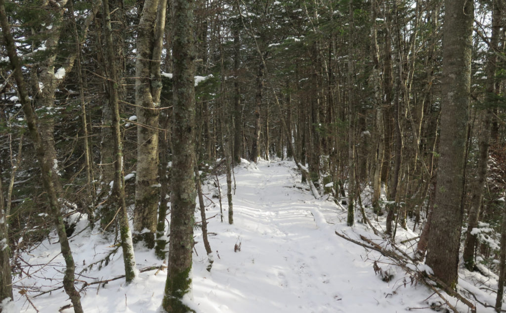
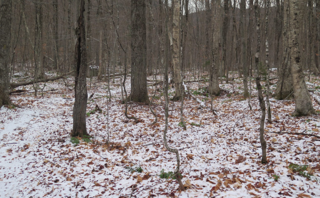
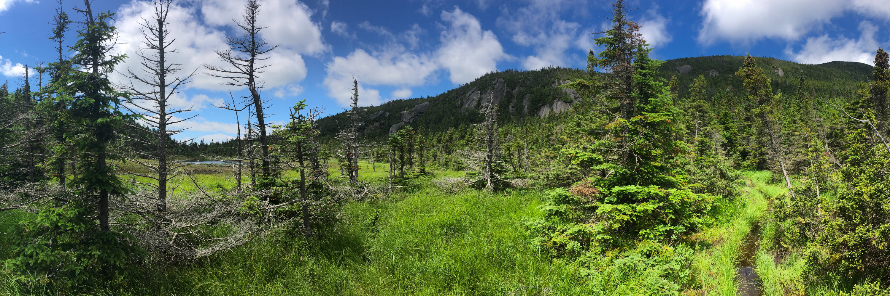
Early on, I enjoyed the low grades, as I passed through a very fine, quite open hardwood forest. The sky was opaque with bright cloud cover, and there was a very scant dusting of snow frosting the leaf-litter. In marked contrast to the stumbling and bumbling I had been doing up the street, now I was making good time, feeling like I was being productive, pounding out mileage. The air was cold and fresh, which was also a good feeling. I was breaking a slight sweat.
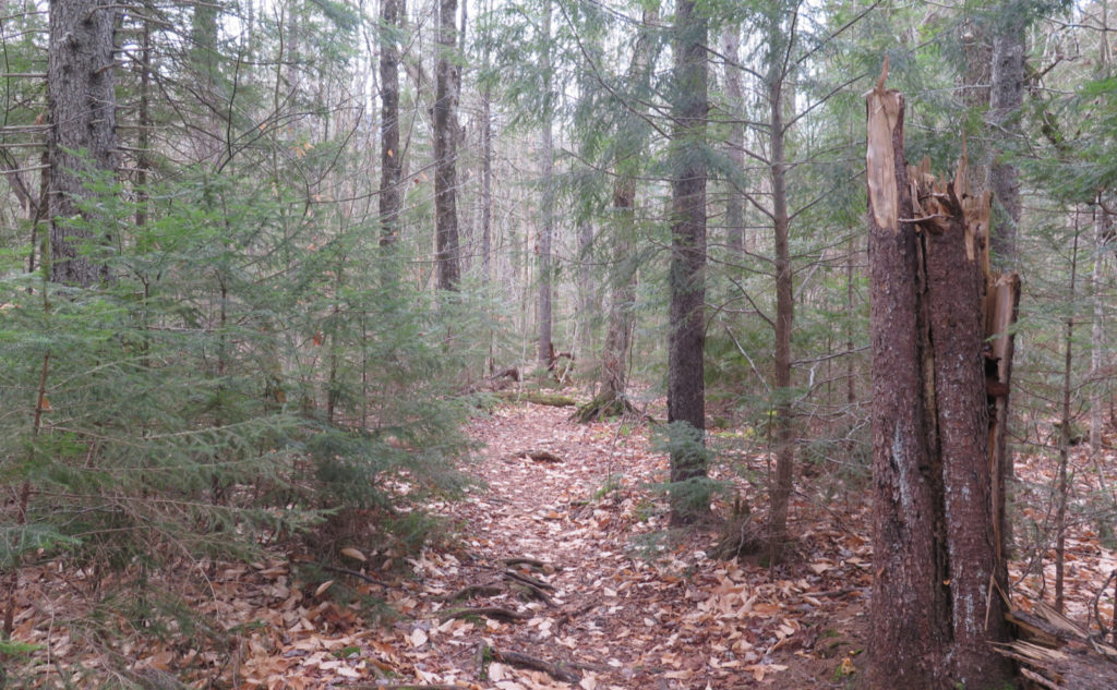
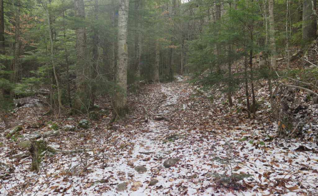
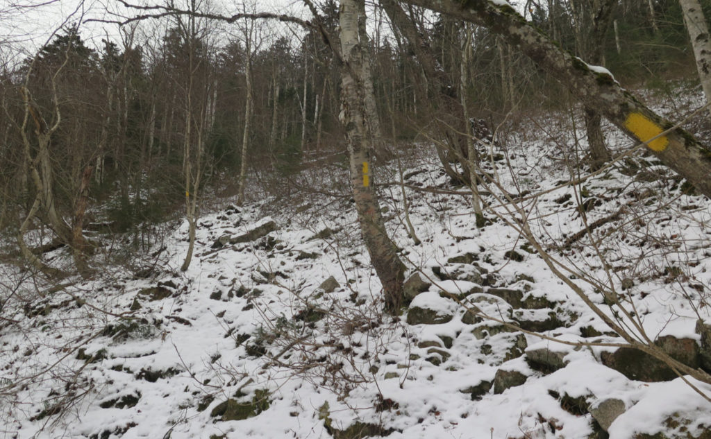
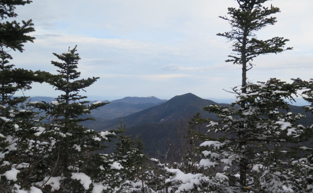
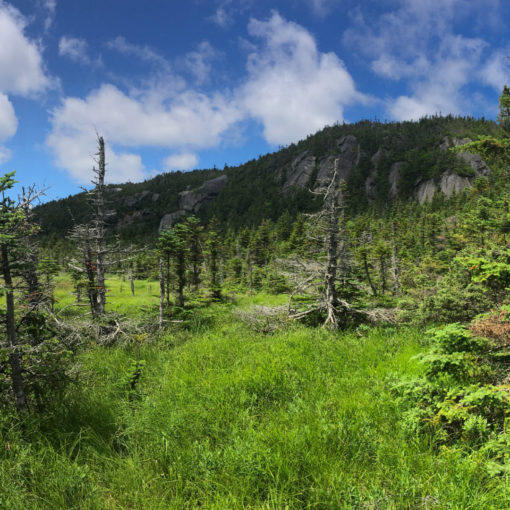
But then things tipped up. The trail became very rocky, and got steep fairly drastically. The dusting of snow was now an outright blanket. Thin, but still solid snow. I ascended Scaur Ridge, occasionally taking in a view here and there, noting that the snow got progressively thicker — a very solid inch before long. I know it’s almost Thanksgiving, but somehow, it still feels early to have snow.
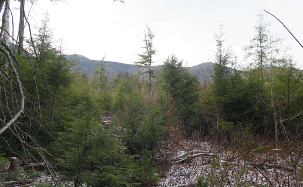
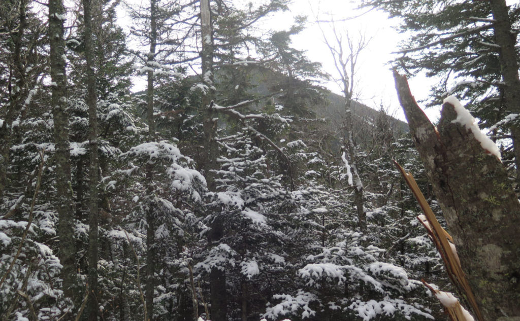
The grade eased a bit, finally, and I started the traverse of the ridge itself. Through the trees, I could see the North Slide, and briefly, wondered “what the hell was I thinking?!” as I reflected on that first outing. The bulk of the North Peak loomed, getting bigger and bigger as I crossed the ridge, and the trail gradually pitched back up as I transitioned over to the bulk of Tripyramid.
And that’s when I realized I’d be writing something I never imagined.
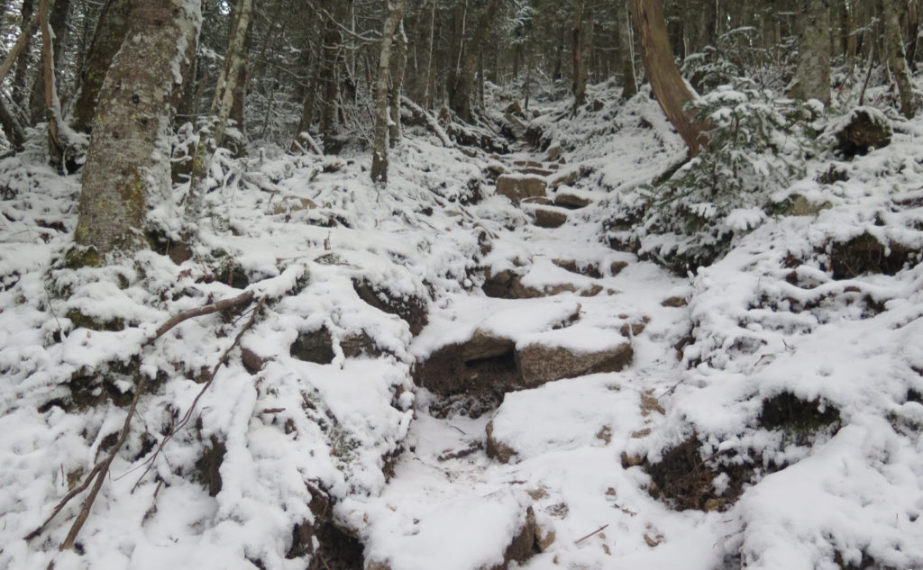
The conditions were icy, such that Micro Spikes became useless. Yes, you read that right. With “just enough” of an icy glaze, the spikes can’t really penetrate anything, and so tend to skate off the rock. It was almost as treacherous as if I was bare-booting it. The trail quickly became a bare knuckled bar room brawl. Why can’t this mountain be more like Waumbek?
Often, it didn’t seem like I was hiking, so much as coming just short of beaching myself on a rock, and making my way up like a walrus. Thankfully, it wasn’t quite so horrific that I couldn’t keep my feet beneath me, but there were several sections where that line came up close. But then, the grade slacked. I heard a voice ahead, and soon met a lovely young woman, up from the Boston area. Today’s outing was #28 on her list. I’m always jazzed to hear where people are on their lists. It takes me back to the wonder… what are the remaining mountains going to be like?
Lately, I’ve been asking if people have given thought to their last peak. I’ve also been asking “so… what’s going to be #49?” It’s a curiosity, but quite a few people hear that question, and it’s obvious that not much thought had been given to what happens after. There was a point where I’d realized I was going to finish the New England 67, and then the 100 highest lists. Some point after that, the realization crept in that I was going to do the AT. If you’d suggested that to me when I was on, say, #10, I’d have called you bonkers, but after a point, it was just what I was going to do. But anyway, it’s been a fun game, asking that question.
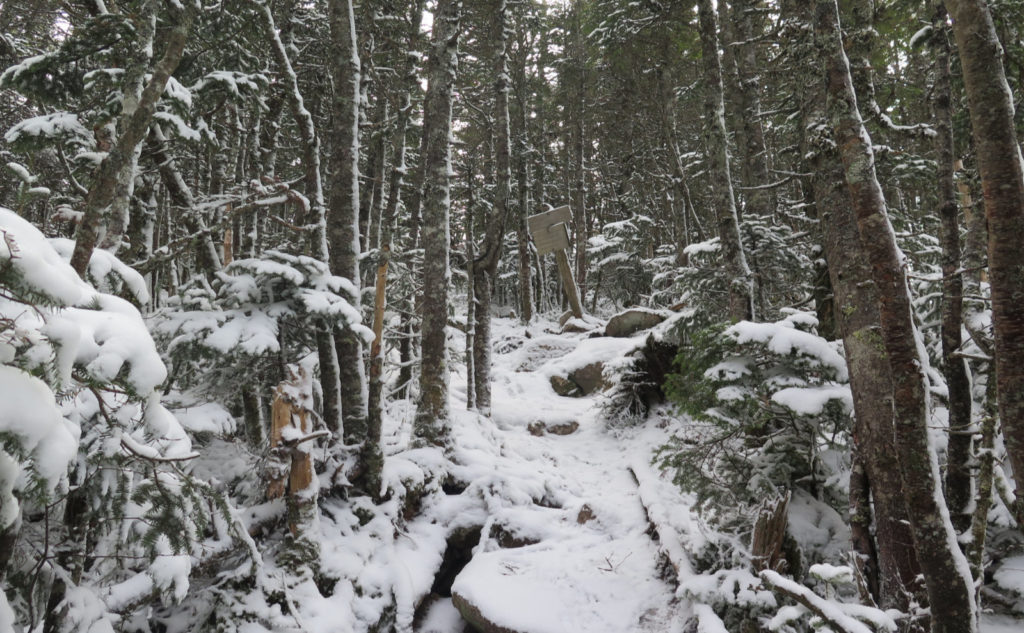
I crossed North Peak, and found the col to be a much more sedate hike. For the most part, the grades weren’t terrible, and the traction went back to being more normal. There were a couple parts where I had to clamber up or down a few rocks, but it wasn’t like just getting up the summit cone from the ridge. Oh yeah… I was going to have to face that on the way down.
Your destination is always your safe return to the trailhead
If heading up was a bare knuckle brawl, going down felt like an outright knife fight. So many sketchy trails have a loop component, where you can tackle the crummy traction on the uphill, and take a more sedate trail on the way down. So the Flume Slide/Liberty Trail combo is one such example. Tripyramid’s own North Slide, then looping across to South Slide is another. But on this side of the mountain? No such luck. Time to… take my time, and tread very carefully.
It felt like an eternity, taking the most measured steps. More moments than I want to remember, a slip would have resulted in calamity. More than once, I thought of what a nightmare it would be to get seriously injured… and knowing I was dancing on the edge of that scenario much closer than I’d have preferred. It was weird, because today wasn’t sporting the kind of weather conditions where you’d think “be extra special careful!” and yet, that’s exactly what the reality of the trail dictated. You can’t always go with standardized patterns of behavior. You always have to hike the trail you’re on, never the one you wish you were on.
But then I was safely back on the ridge. Not long after that, I was descending that nasty, rocky section, thankful that it wasn’t nearly as bad, and that the snow was getting thinner as I continued descending. Before long, it was more leaf-litter than snow. And then I started hearing traffic on the Kanc.
This remains one tough cookie. I’m still wrapping my head around it, and having come up from the north side, I’m thinking my next outing will have me approach the mountain from Livermore. Or, if I can wrangle the brook, maybe in summer, a hike across the Sleepers. I’ve been wanting to see those peaks for some time now. We’ll see how things pan out. This mountain seems determined to leave me guessing.
As always, stay safe out there.

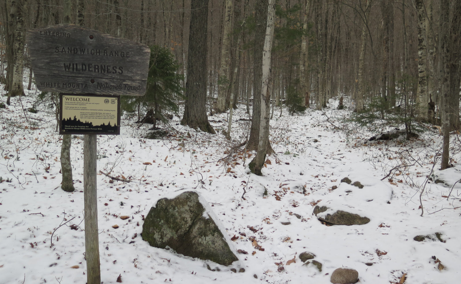
Nuts and Bolts: Find the trailhead about a mile west of Sabaday Brook picnic area, and about 15 miles out of Lincoln. Park alongside the road. Be aware that the shoulder is wide enough to park on, but it drops off fast. (It’s not bad per se, but there are better trailheads.) In wintertime, this trailhead isn’t ploughed, so if your plans include hiking the trail from bottom to top, you’ll need to park at the picnic area and road-walk the mile or so to the trailhead. Last I was here in winter, the snowbank was the size of a delivery truck, and just a thin sliver of the sign was visible.
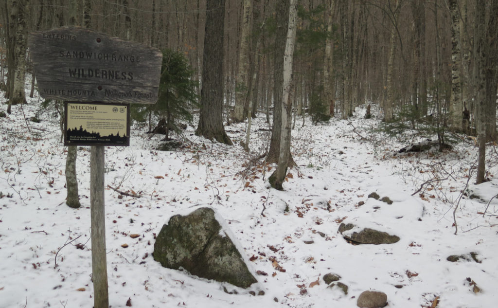
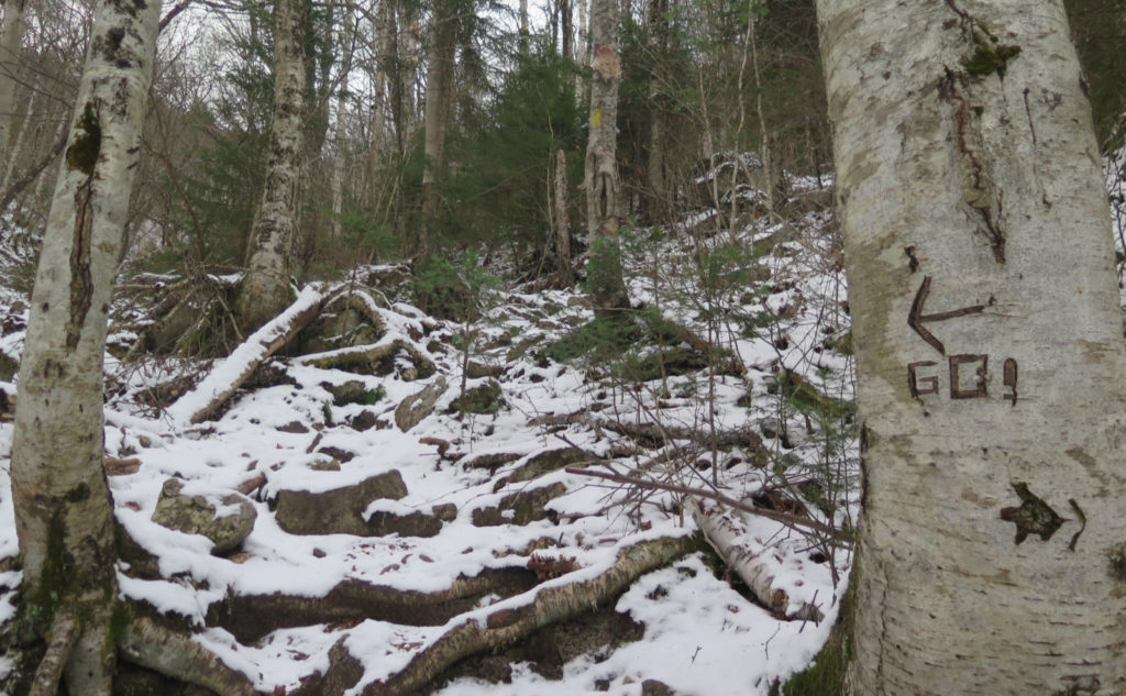
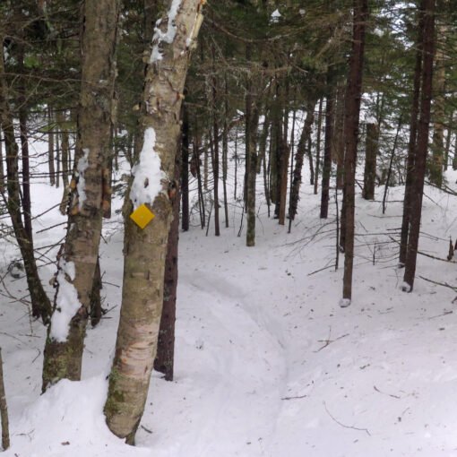
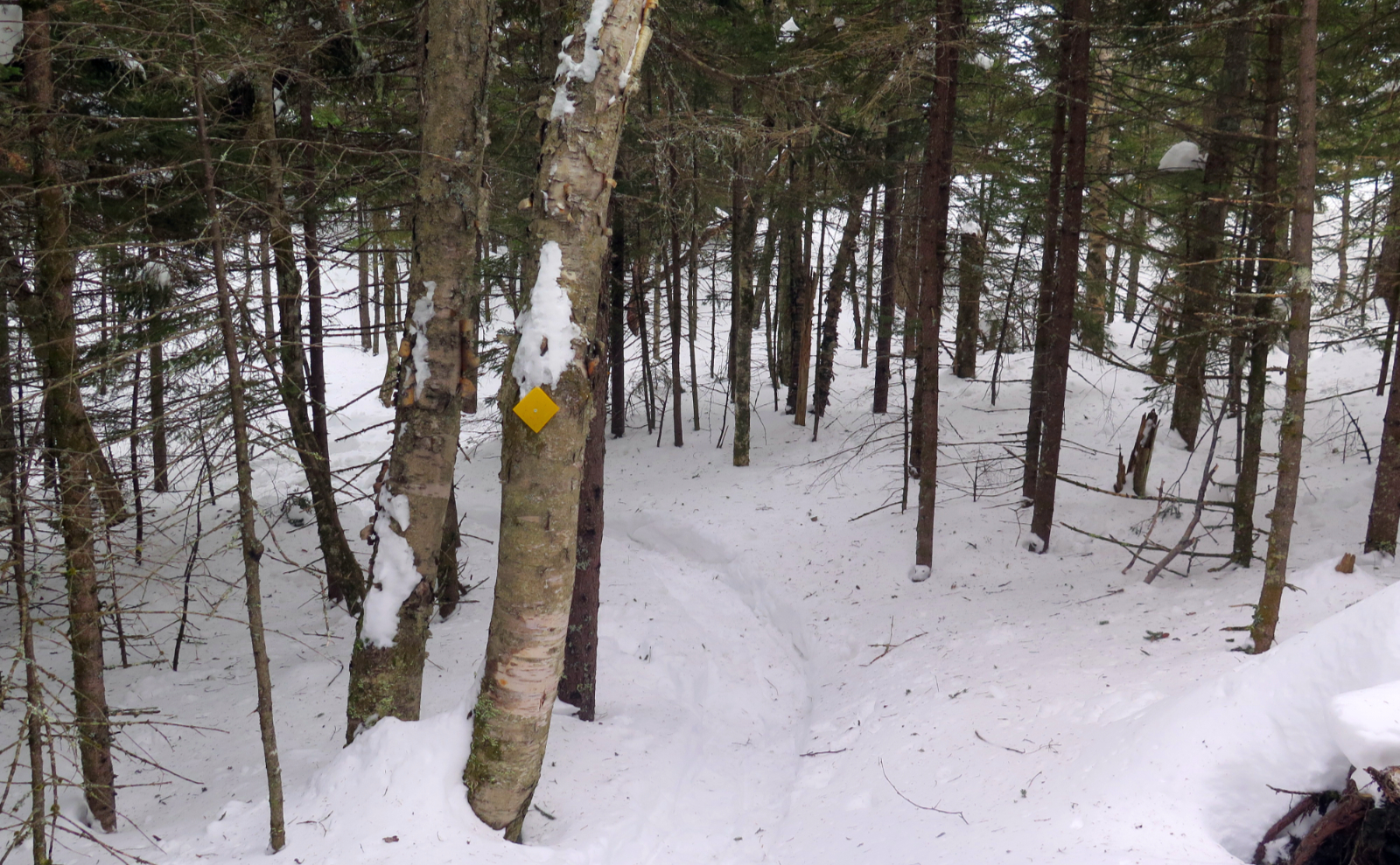
Blazes are yellow. For much of the hike, you’ll be in the Sandwich Range Wilderness area. Don’t expect abundant blazes, as you’d expect on the AT, or some other trade route. Route finding isn’t hard, but it’s not the most improved trail you’ll ever see.
5 thoughts on “Trip Report: Tetralogy of Two Tripyramids”
Very fun read. Memories of my first time on the North Slide, sheer terror. The second time was much better because I knew what was coming. A nice way to do the Tripyramids is to start on the Olivarian Brook trail and visit Passaconaway, Whiteface, the Sleepers, the Tripyamids and finish on the Pine Bend Brook trail and your bike that you stashed in the woods earlier. Oh, and I always learn new words when I read your reports!
Glad you enjoyed it, and I’m happy your lexicon is expanding. 😀
Pine Bend Brook trail of course doesn’t sit on the same level of sheer terror as the North Slide, but wow, yesterday there were moments when I was reminded of the crummy footing on that trail. I think if you’ve not got a compelling reason to dash out and hike it, I’d wait a bit for conditions to shake out and normalize again. That icy glaze was exactly the right amount to be a royal pain in the neck, and the snow was exactly enough to both obscure it, and yet not be enough to get more stable footing. An awful combo.
The bugaboo of winter is that daylight is a tight commodity, hence shorter trips. But yes, the “grand tour” of the Sandwich peaks is on the to-do list.
1. I had not heard of that book, but years ago I read a short story called “Camera Obscura.” I think that was the name; it was a half-century ago that I read it, after all. Science fiction story about how the camera was actually invented during the Renaissance, but the guy ended up throwing it in the river because he thought it would end art. 2. Downes Brook – the bane of the short-legged hiker! I had enough trouble just going to l’il ole Potash with it, let alone doing the whole trail. We overnighted it last summer; on the way up, I just put the Tevas on, the way down I just said “Screw it, we’re not hiking tomorrow”, and walked through where I couldn’t rock hop. Fun times!
It’s actually an essay. The Wikipedia entry has a link to the full text. But be forewarned: it’s pretty academic. (Also note it was Walter Benjamin, not Roland Barthes. My bad.)
This wasn’t the first time I was thwarted by Downes Brook. I tried hiking Mt Potash in late spring and yep, that was a no-go. What a drag.
I’m going to look for that story. Sounds fascinating.