Mount Hale (4,054). Bethlehem, NH. 2020-07-25 (Saturday.)
Via Hale Brook, Lend-a-Hand, and Zealand trails; includes 1.0 mile road walk back to car. 8.2 miles round-trip. Plus a side jaunt up A-Z trail (5.4 miles, round trip) to Mt Tom Spur for the redline.
Approximately 8 hours, all told. Hale Brook trail was a bit over an hour, bottom to top. Lend-a-Hand took around 90 minutes. A-Z took about 3 hours.
85 dF at the trailhead, 85 dF at the summit. Winds were negligible in the trees, about 2-3 knots at most, wherever a breeze could be found. Sun, slightly overcast here and there, otherwise clement throughout.
Hoping for Hale? Hardly. It just Happened!
So this was a weird itinerary. Do Hale. But that’s a short trip — I’d have spent about twice the time driving as I would have hiking, and that’s dumb. So I included some add-ons. Go to Zealand. Then do A-Z out to Mt Tom, so I have that trail done end-to-end. Partridge in a pear tree, that kind of stuff. If I were to recommend something more sane to the average hiker not on a mad mission to collect every foot of every trail, it’d be Hale, then Lend-a-Hand out to Zealand, bag that peak and return. Makes more sense than what I did today. And yet, it’d be a lovely outing, where you’d bag two 4,000 footers, neither with a view from the summit.
If you have your heart set on the western half of A-Z, consider hiking in via Zealand, then grab Tom, Field, and WIlley, before returning via Ethan Pond trail. Just a thought.
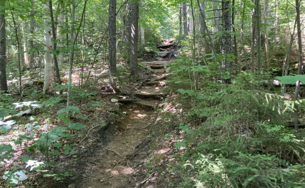
It was mostly as I remember it, with a few differences. Hale is still fairly easy. That is to say, elevation is “quick” but not mad like on South Twin or Garfield. The trail itself isn’t crazy technical. Indeed, I found myself thinking that Monadnock’s White Dot trail is a lot harder than Hale Brook trail. It would be a good intro to the 4,000 footers for anyone comfortable with Monadnock or Cardigan or Kearsarge. And then you go out via Lend-a-Hand, get coffee at Zealand hut (see below) and perhaps relax a little at the falls. A nice afternoon, right?
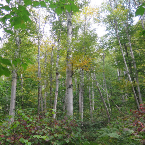
Lend-a-Hand had a bit less bog bridge than I recalled. But it was still fairly straightforward. A few moderately rugged bits near the end, but this too wasn’t a terribly hard trail. And Zealand, of course, was built on an old logging railway. About as nice as you could want.
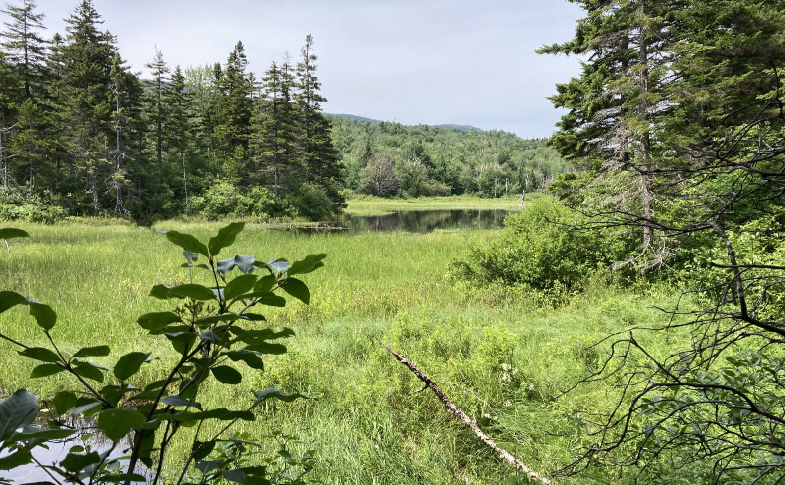
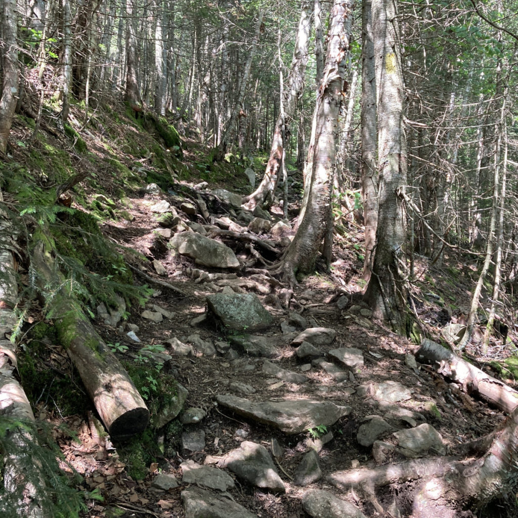
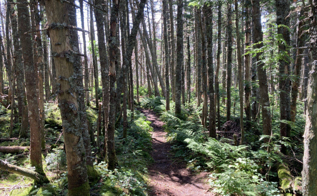
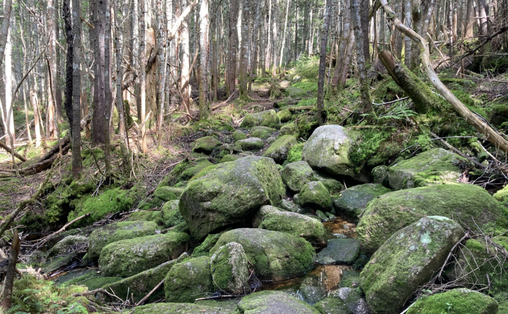
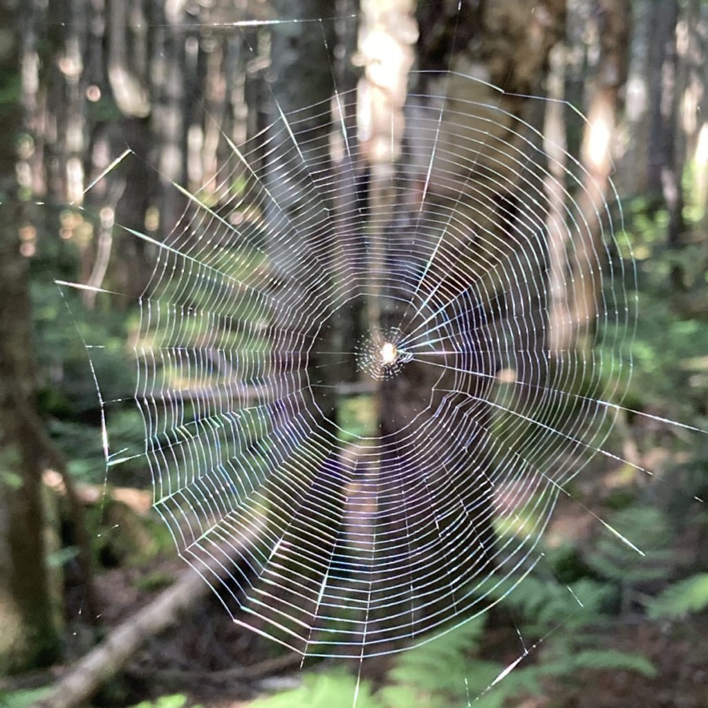
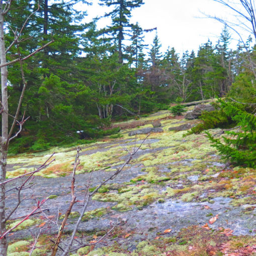
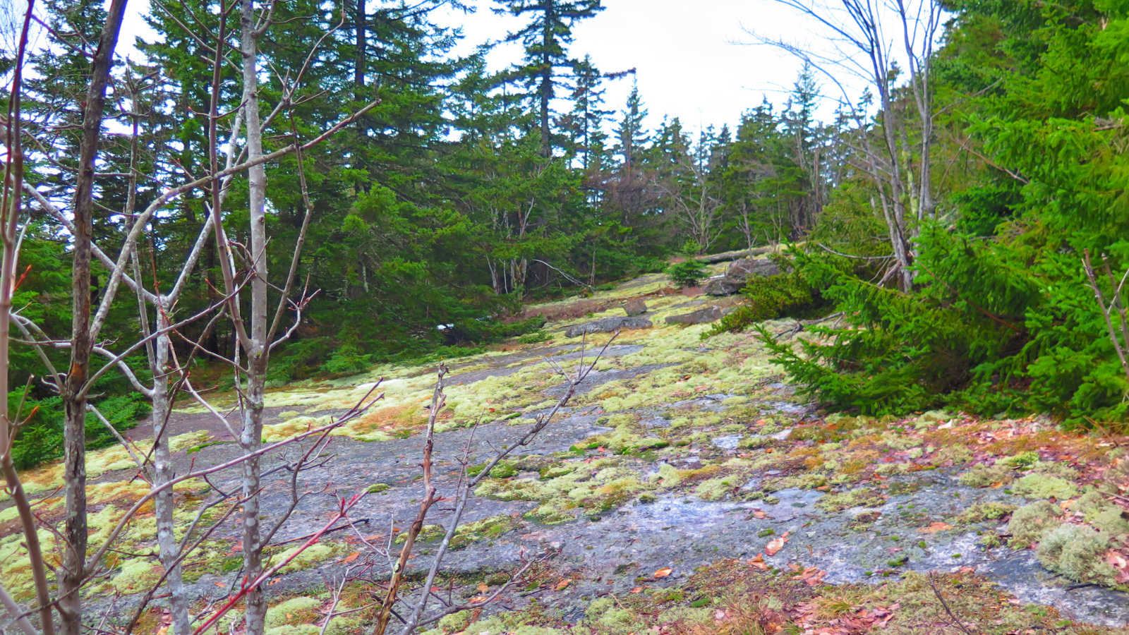
What about A-Z? That was more interesting. The trail isn’t dry. It’s not tremendously wet, but it sure ain’t dry. It was kind of weird, in that I didn’t really feel it until the return: the trail tips downward from Tom to Zealand. (Or maybe more appropriately, from Avalon, but that was well on the other side of the col.) It’s pretty overgrown at the Zealand end, crosses a lot of bog bridge (much of which is deteriorating quickly) and a lot of mud. But once over Mt Field Brook, it starts becoming a more open forest with a lot of moss, and you can actually see where you’re going. Too bad you start quickly climbing up large rocks, because until then, the trail was actually fairly sedate.
Being as it’s a very unconventional approach for a 4,000 footer, it’s not travelled much except by other weird hikers. I enjoyed solitude for the most part, passing maybe a half-dozen hikers, mostly backpacking. Hale, in contrast, had about 20 or so hikers on the summit when I was there. Yikes!
Anyway, it was something of a shortie, and once off of Hale, my attitude really shifted. I wasn’t in peak-bagging mode, and after a few minutes, I realized that I was actively in tramp-around mode. I probably did more looking around (even though it wasn’t always as fruitful as on other mountains) after Hale than I normally do on a mountain. At the hut, I got some coffee, sat for a spell, and just listened to the falls nearby. It turned out to be just one of those days. Best of all, I didn’t even try to make it so. It just happened. Magic.
As always, stay safe out there.

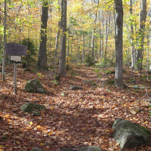
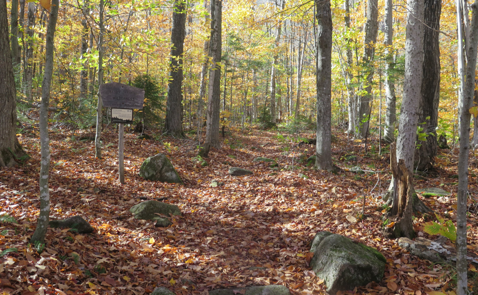
Nuts and Bolts: From 93, head into Twin Mountain on Route 3, and then at the lights near Foster’s Crossroads, turn right onto 302. A couple minutes after that, look for the sign showing Zealand campground, and turn onto the fire road. Hale’s trailhead is a couple miles in, and Zealand’s is one mile later, at the end of the road.
Trailhead will be on the right if you’re heading in. Blazes are yellow and pretty unnecessary: the trail is very apparent, and if all you did was follow your nose, you’d probably not go far wrong, if at all. Lend-a-Hand is likewise. A-Z has a grown-in part, so watch where you’re going. And Zealand trail is a former railbed for most of its length. It’s almost impossible to fail to see where the trail is going.
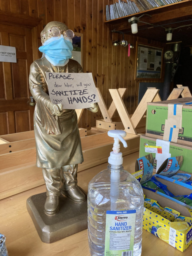
The hut… So the building is still there. And this afternoon, so too was a wonderful caretaker. She told me that they’re doubling up on the weekends, but alas, doing far less baking. Drat. That said, bathrooms, food, and water is available. They were making quesadillas when I popped in. Hours for food are 11a-4p, but have a backup plan. Any meal you get there should be seen as icing on the cake, not the cake itself. There were also salty snacks, granola bars, and similar other stuff. Do the right thing and tip heavy. The croo isn’t doing the same stuff as usual, and I can’t imagine their tips aren’t being impacted. Indoor seating isn’t; take your stuff outside, and find a shady spot. When I was there, traveling lunches were being offered, so that shady spot could even be the really cool overlook on the Twinway. They’re staffing light, due to no overnight guests, so please keep your impacts as minimal as possible, even moreso than normal. As always, be mindful, be an ambassador for the sport.
If you enjoy reading these posts, please subscribe — stay in the loop! Your email will only be used to alert you of new posts — typically 1-2 times per week. I will not use or share your email for any other purpose without your express permission. And feel free to share via social media using the buttons below.
Find me in the mountains, on this blog, or on Twitter: @Protean_Hiker https://twitter.com/Protean_Hiker/
2 thoughts on “Trip Report: Happy and Hardy on Hale: Mt Hale, via Hale Brook Trail”