Easy, except when it wasn’t. Then, it was steep. But afterward, easy again. And throughout? …Wow.
Mt Hancock and South Hancock. 2019-11-09 (Saturday.) Via the Hancock Notch trail, Cedar Brook trail, Hancock Loop trail.. Approx 10 miles.
North Hancock, 4420; South Hancock, 4319 feet.
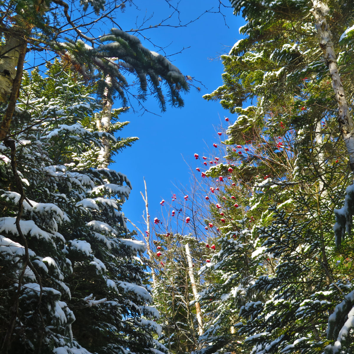
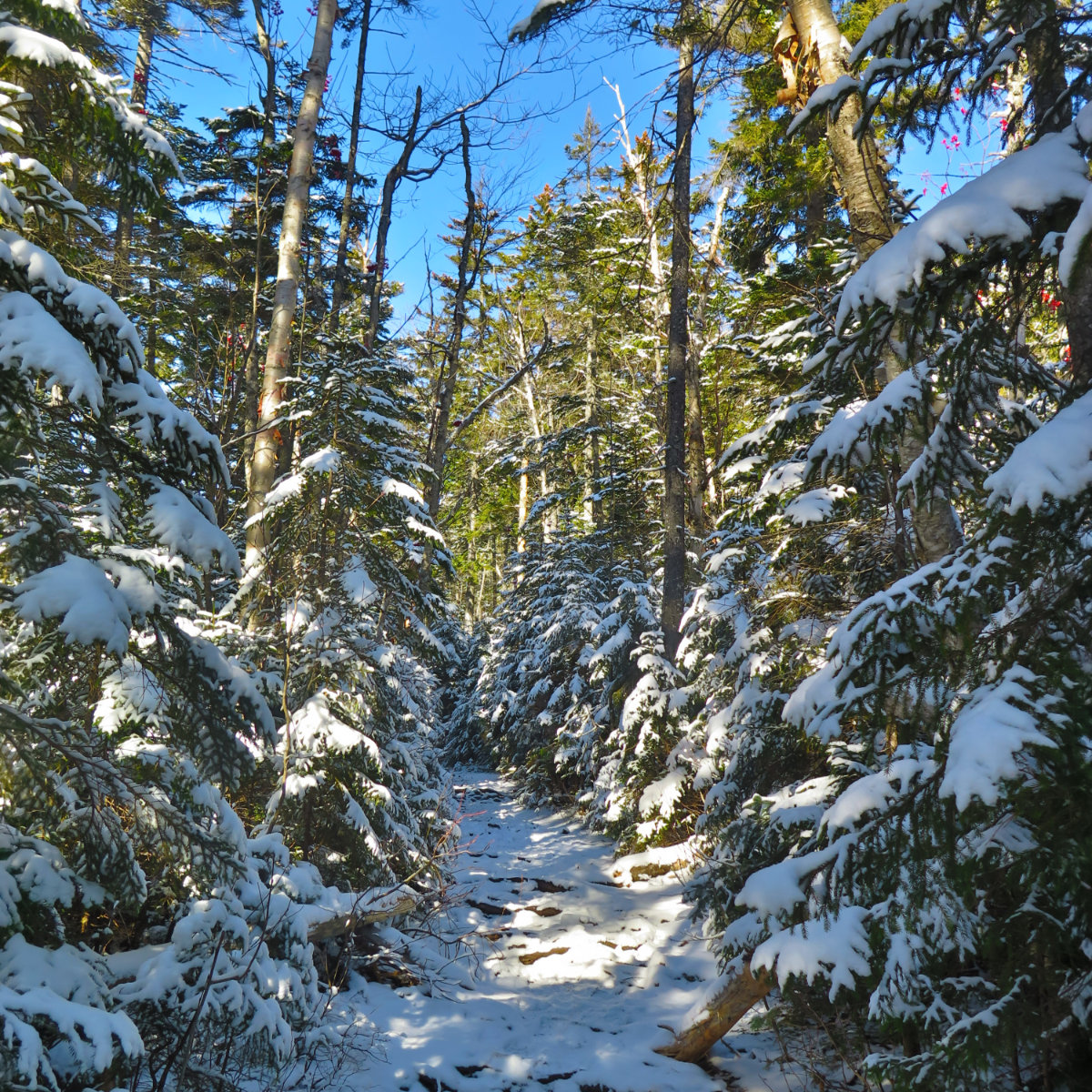
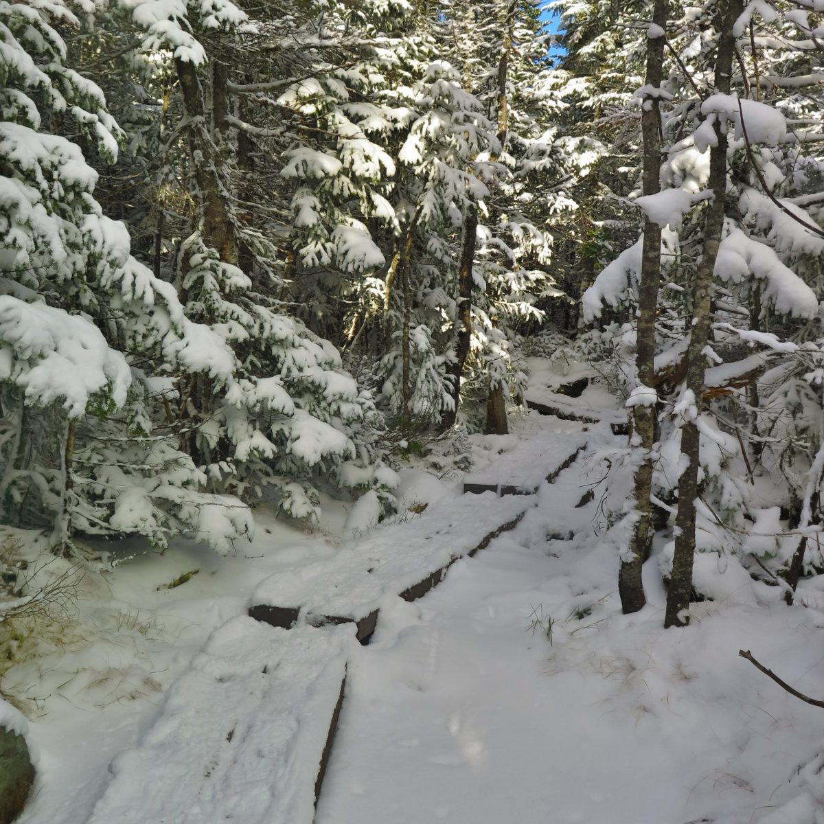
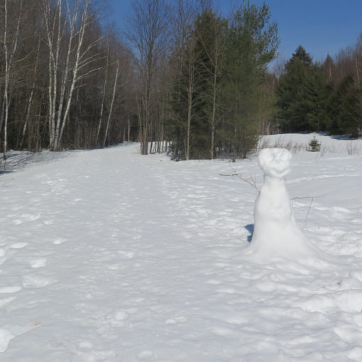
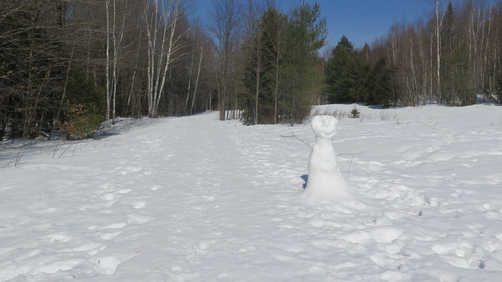
35 dF at trailhead, cooler at the summit. Sunny, with abundant clouds. Light breeze at the level of the trail. A dusting of snow everywhere.
Trailhead: 1100. South Hancock Summit: 1400. North Hancock Summit: 1445. Car: 1700.
This hike wasn’t supposed to happen. I was originally planning on hiking Washington and Monroe, heading up Ammo and down Jewell. But then work intervened, and by the time I could say I was hitting the road, astrophysics intervened and said “dude, you’re not getting off the trail even nearly in dusk, let alone sunlight.” As this violated my self-imposed rules on safety, it was slightly easy to put the clamp on hiking le grand fromage. Slightly, because I really want to bag that bad larry again. If it’s good up there, it’s real good.
But as it was, I had to pick something else. And so Hancock it was. Washington will still be there.
I should probably mention that picking hikes is not the easy choice that it once was. I’m goal-oriented at this point, having accepted that I’m hiking the grid, and in the short term, the 48 in 4 seasons. Longer term, redlining. As much as I hate to admit it, laying this stuff out in a spreadsheet has become a reality. Less is left to chance, more is up to analysis of some sort. Argh.
But… is this not hiking in the Whites? Yes! There is life beyond those pages and cells. I hit the trail after making a few wardrobe adjustments. (Let me say, cold weather hiking… it’s not like the easy planning one enjoys in summer, right?)
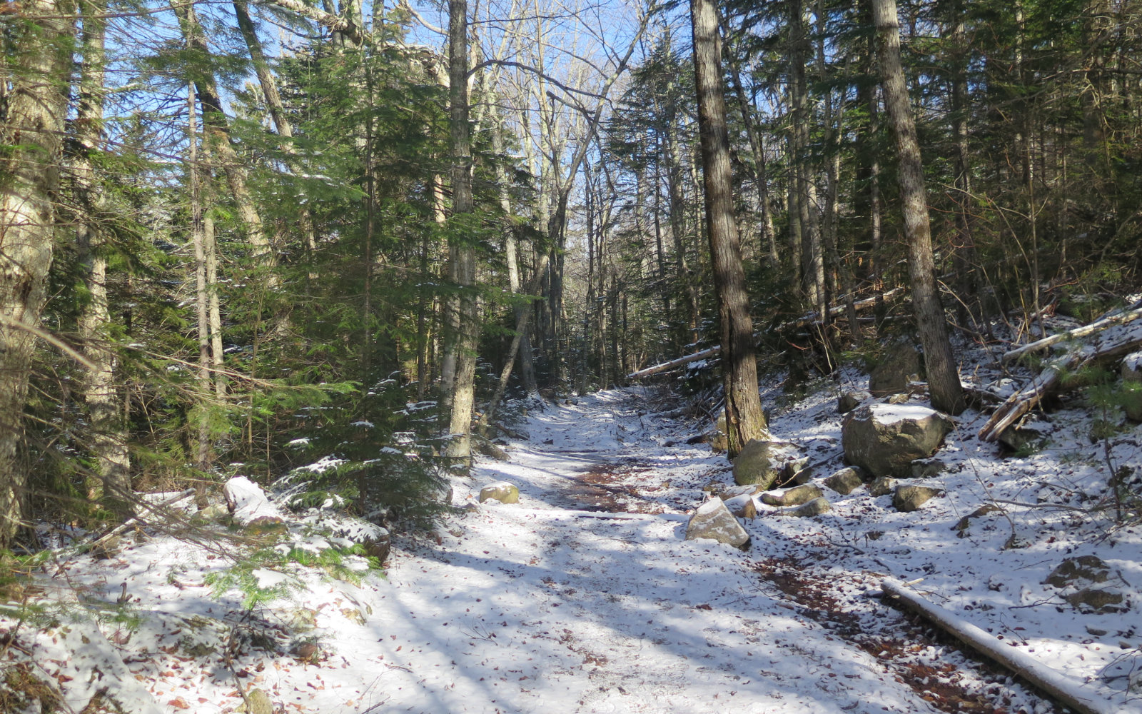
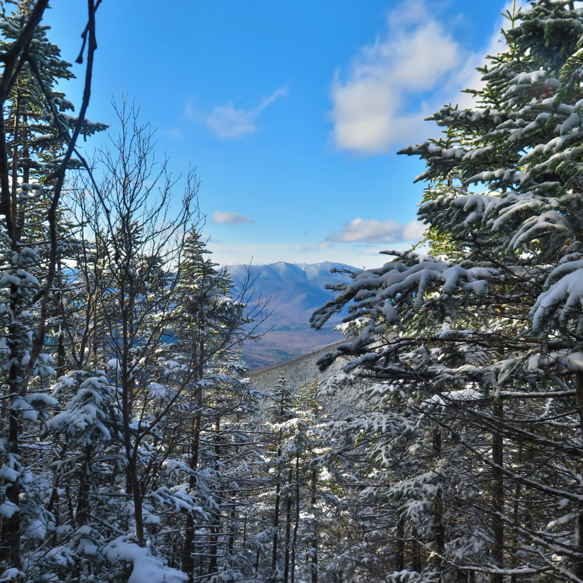
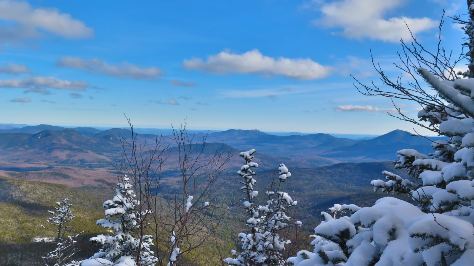
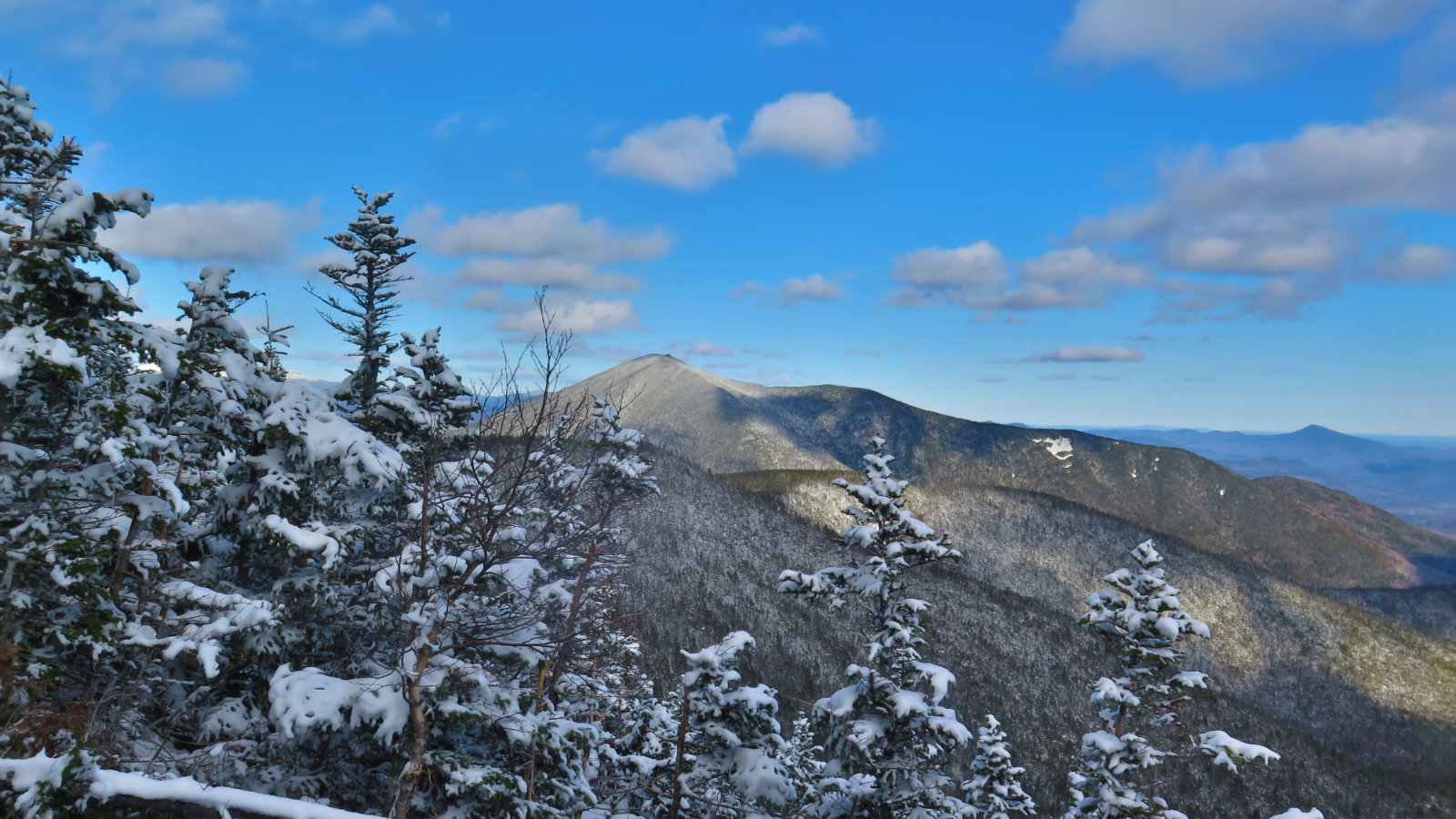
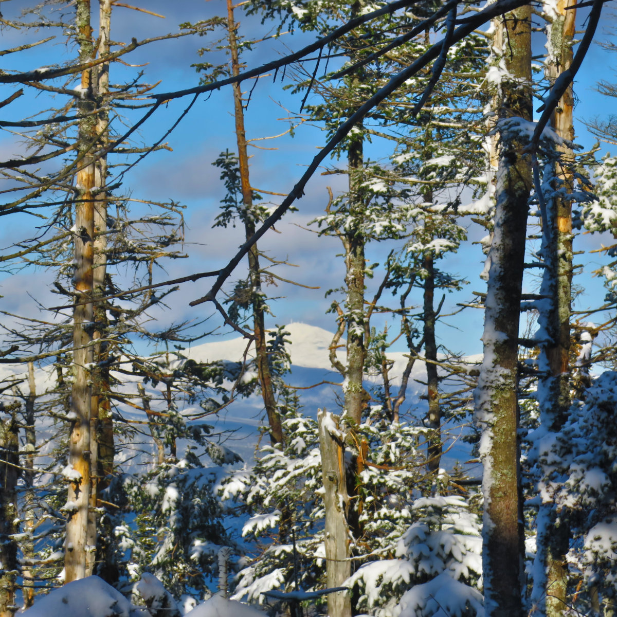
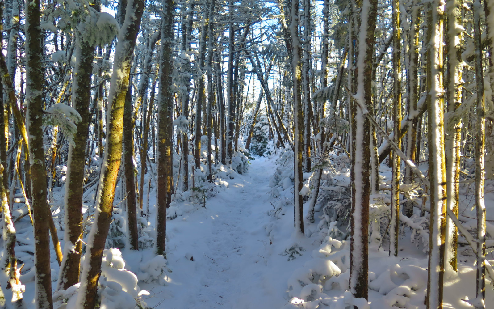
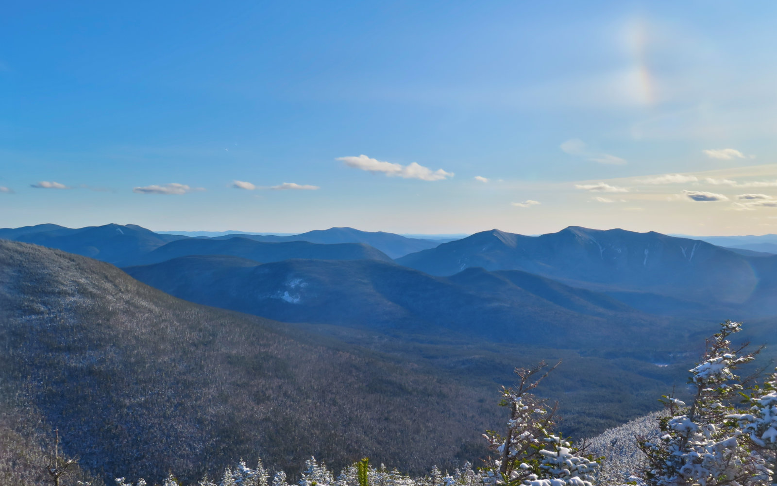
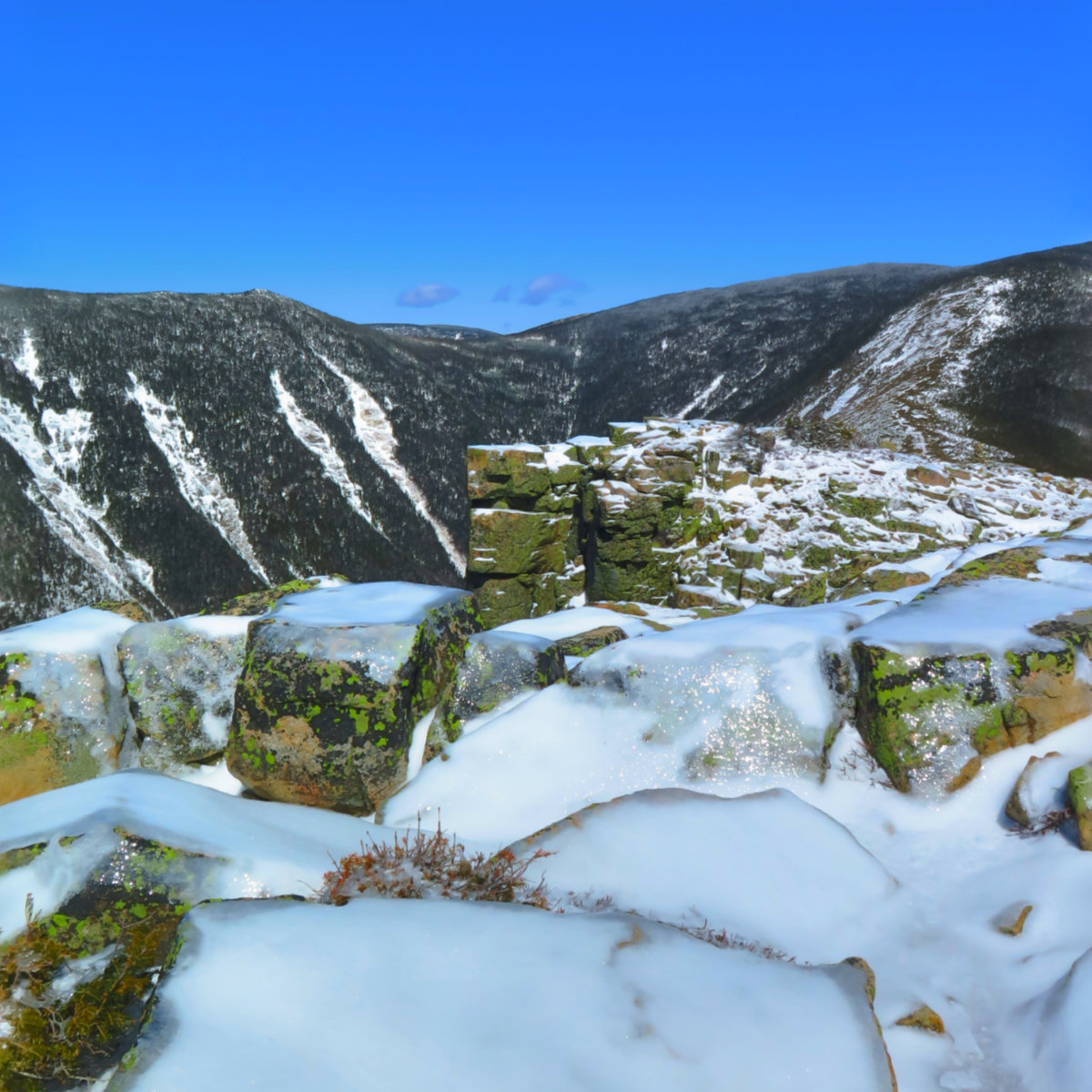
And so… the Hancocks aren’t hard, per se, although they do get very steep. One thing to note is that the mountains are, in general terms, shaped like a hockey stick. You’ll hike in about two miles over terrain that is quite tame. But when the ground pitches up, you’ll have little to no recourse, hiking up or down trails that are among the steepest in the Whites. When I looked out at Lafayette, I also looked down the trail, and realized I was really, really looking down the trail. It wasn’t just that right in front of me were the treetops of nearby trees, it was that a lot of those treetops were outright below me. There are a few water crossings, but nothing major, assuming there’s not been a long, torrential rain recently. The col is fairly tame, with mostly easier hiking over some really nice trail. And although the summits are treed-in, there are outlooks on both ends that offer fine views. Don’t let that escape your notice.
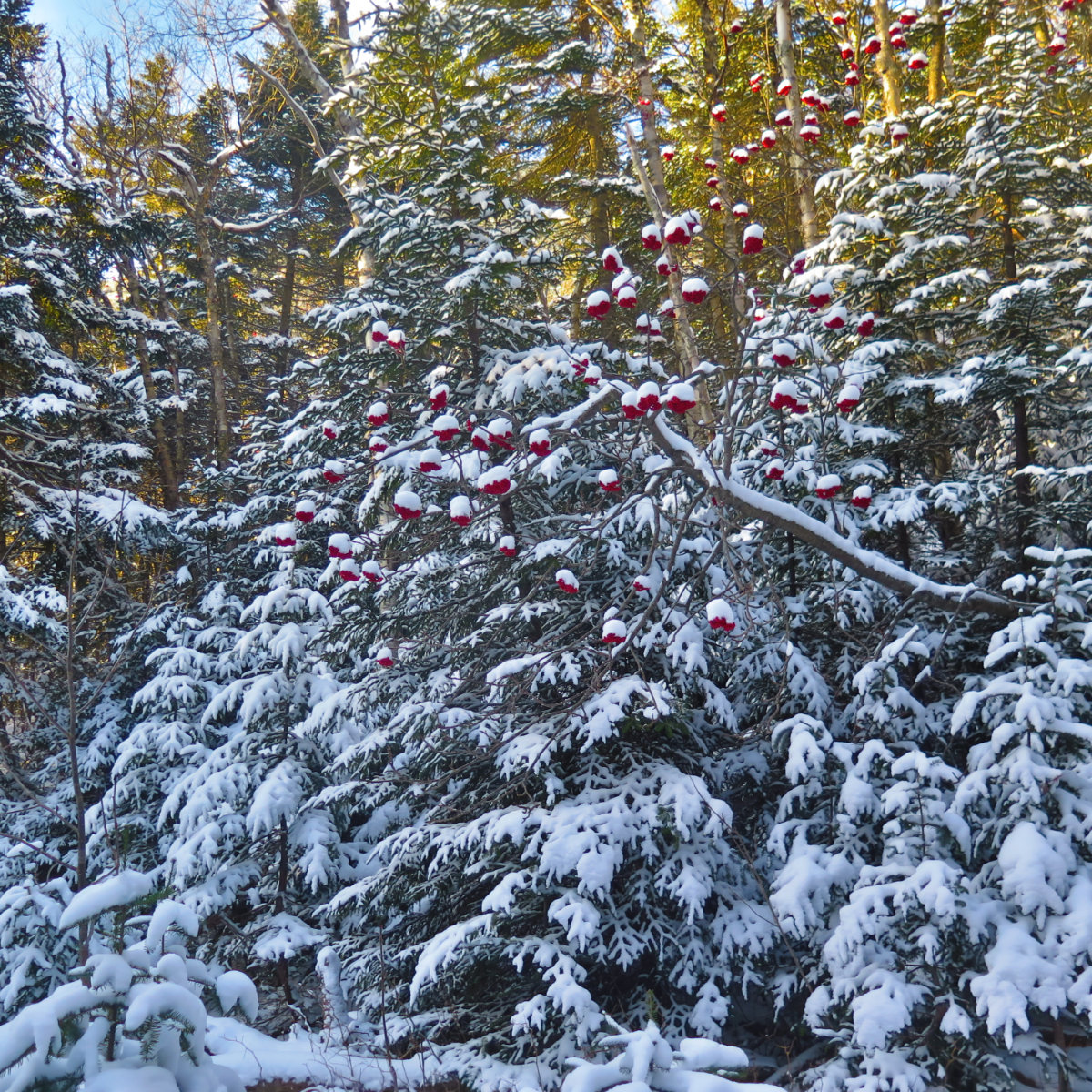
Some say that you should hit South peak first, then North, on the idea that you climb up the steepest trail and not down it. I ended up getting that wrong. Going down South is indeed a bit sketchy, but it wasn’t the end of the world. And thinking back, I’m not sure, in the grand scheme of things, that it made a difference to my enjoyment. There was lots of blue sky overhead, with just enough clouds to make the sky look interesting. The air was cold and fresh. What’s not to like about that?
This wasn’t that different a trail from springtime or summer with the exception that Microspikes were the name of the game. With such in mind, I’m going to defer to those posts for finer details. Let me say, however, that this is a great trip out. You get altitude, some exertion, and some fine views, especially of the Sandwich-area peaks. Osceola and Carrigain especially loom large, although I did manage glimpses of the Franconias and Washington here and there.
Also, and this will probably require more examination in the warmer weather, when snow doesn’t occlude the evidence, it turns out that the approach to the mountains themselves does indeed follow an old railbed. More on that at some point. But “yes, Virginia,” that trail is very straight, very wide, and an easy grade.
Nuts and Bolts: Getting to the Hancock trailhead couldn’t be easier. From I-93, take Exit 32, and turn left onto the Kancamagus Highway. Drive through Lincoln, and past Loon Mountain. About 5 miles later, you’ll come upon Lincoln Woods trailhead, and about 3-4 miles after, you’ll see signs for the hairpin turn. (Greeley Ponds trailhead is almost one mile before Hancock.) Immediately on the other side of that hairpin turn will be the entrance to the parking area, on the right. The trailhead is… interesting. On the opposite side of the parking area, near the pavilion, is a small gate. Go through that gate and down the path to the apex of that hairpin turn. The trailhead is across the street. Be very careful making the crossing, because you have no sightlines, and neither does traffic. Use your eyes and ears to your best advantage. (Returning, sightlines are much better.)

7 thoughts on “Trip Report: Mt Hancock, North and South”
Wow! Well isn’t this a sign from the powers that be! Less than 20 minutes ago, I was telling Prema we should try this for winter. I mentioned the steep parts and ice to her and the potential for me to get my feet wet. And then we find this lovely report! I’m thinking of Trailwrights, so we need to go to the Hancocks two more times (not just to do the N and S as separate hikes, but there is a bushwhack to a third peak as well. Glad you had such a gorgeous day!
The snow, light as it was, kicked the scenery up a notch. I think a winter trip would be amazing!
Oy!! I showed my husband the AllTrails elevation profile for the Hancocks, pointing out those 85% grades. “You *do* that??” he asked incredulously. Needless to say, not a hiker, the man.
It’s funny, because looking back, yes there were steep sections, but somehow they didn’t feel that hard. Weird.
Hey there, me the short female one asking you about your hydro flasks on your ascend, I think midpoint between the loop trail junction and the south Hancock peak junction?
Great photos here. I have to agree with you, microspikes are definitely a good call, and it really was a lovely day being out enjoying the nice crisp cold air
Wow… I really lost track of where I was on that hike. Glad you knew… I mean, it’s a bit of a bounded problem, right? Not much to go wrong…
As they say, “hike your own hike.” If gear works for you, run with it. Don’t worry about what others say. But stay tuned: I’m going to post about gear at some point in the not too distant future.
As far as wintery conditions, those are often some of the most magical. Check out my photos of Garfield, and the hoar frost. 😀
Cheers!